
Lecture 5 Earths Gravity Field GISC3325 Schedule for


- Slides: 46
Lecture 5 – Earth’s Gravity Field GISC-3325
Schedule for next two weeks • You are responsible for material in Chapters 1 -4 in text as well as all lectures and labs to date. • I will miss class 6 February as well as 18 and 20 February. • The first exam, open-book and “takehome, ” will take place on either 18 or 20 February.
Some comments on Lab 2 • It is expected that students will review the reference materials on the NGS toolkit pages and the lecture materials on the web. • Using the XYZ Coordinate Conversion tool for question 8 is NOT correct. It computes on the ellipse NOT sphere with uniform radius. • When transforming be aware of significant digits! We must be able to do the inverse with our answer to transform back.
Topics • Definition of gravity • Its importance to geodesy • Measurement techniques
What is Geodesy? • “Geodesy is the discipline that deals with the measurement and representation of the earth, including its gravity field, in a three-dimensional time varying space. ” – definition adopted by the National Research Council of Canada in 1973. (Vanicek, P. K. and Edward Krakiwsky, E. (1986) Geodesy: The Concepts. Elsevier).
Another definition • “The task of geodesy is the determination of the potential function W(x, y, z)” i. e. of the gravity potential of the Earth. – By Heinrich Bruns (1878) • Both definitions indicate the linkages between positioning and gravity field determination.
Integrated Geodesy • Also called “Operational Geodesy” • Integrated geodesy is a method in which a wide variety of surveying measurements are modeled in terms of geometric positions and the earth’s geopotential. – Both geometric and gravimetric data are simultaneously estimated using Least Squares.
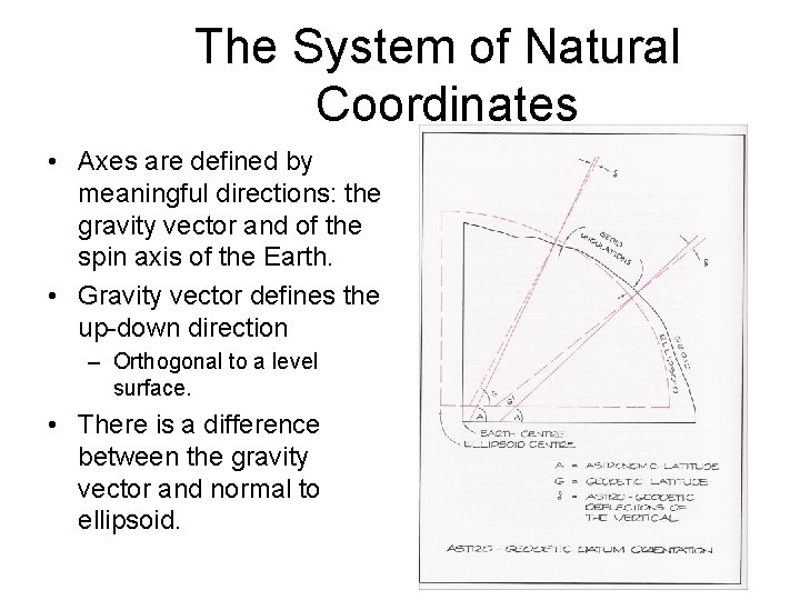
The System of Natural Coordinates • Axes are defined by meaningful directions: the gravity vector and of the spin axis of the Earth. • Gravity vector defines the up-down direction – Orthogonal to a level surface. • There is a difference between the gravity vector and normal to ellipsoid.
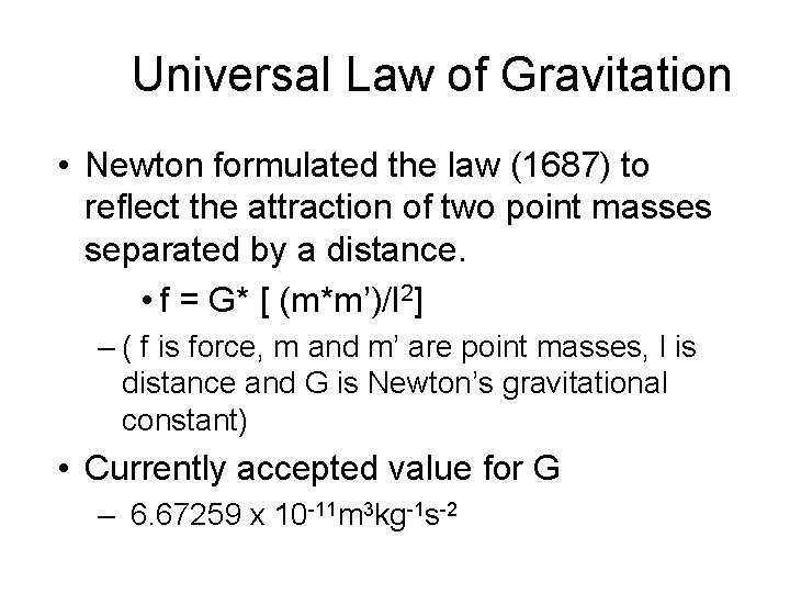
Universal Law of Gravitation • Newton formulated the law (1687) to reflect the attraction of two point masses separated by a distance. • f = G* [ (m*m’)/l 2] – ( f is force, m and m’ are point masses, l is distance and G is Newton’s gravitational constant) • Currently accepted value for G – 6. 67259 x 10 -11 m 3 kg-1 s-2
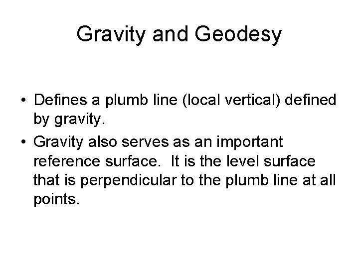
Gravity and Geodesy • Defines a plumb line (local vertical) defined by gravity. • Gravity also serves as an important reference surface. It is the level surface that is perpendicular to the plumb line at all points.
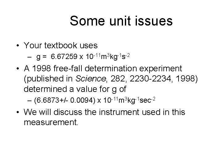
Some unit issues • Your textbook uses – g = 6. 67259 x 10 -11 m 3 kg-1 s-2 • A 1998 free-fall determination experiment (published in Science, 282, 2230 -2234, 1998) determined a value for g of – (6. 6873+/- 0. 0094) x 10 -11 m 3 kg-1 sec-2 • We will discuss the instrument used in this measurement.
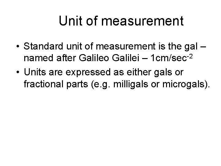
Unit of measurement • Standard unit of measurement is the gal – named after Galileo Galilei – 1 cm/sec-2 • Units are expressed as either gals or fractional parts (e. g. milligals or microgals).
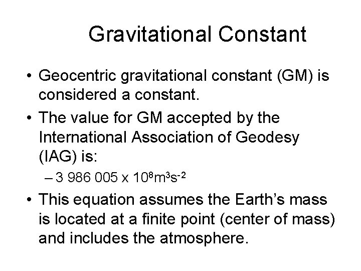
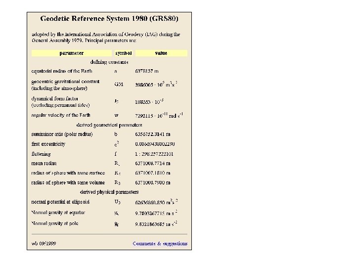
Gravitational Constant • Geocentric gravitational constant (GM) is considered a constant. • The value for GM accepted by the International Association of Geodesy (IAG) is: – 3 986 005 x 108 m 3 s-2 • This equation assumes the Earth’s mass is located at a finite point (center of mass) and includes the atmosphere.
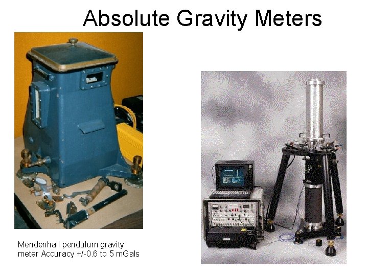
Absolute Gravity Meters Mendenhall pendulum gravity meter Accuracy +/-0. 6 to 5 m. Gals
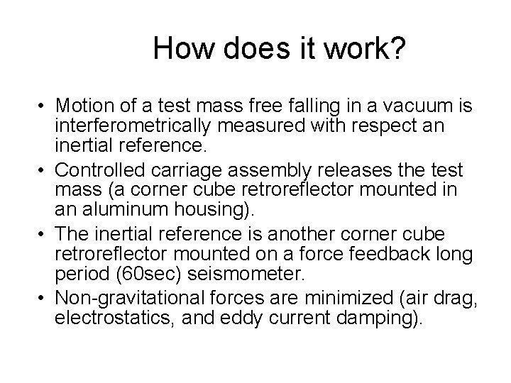
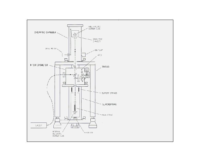
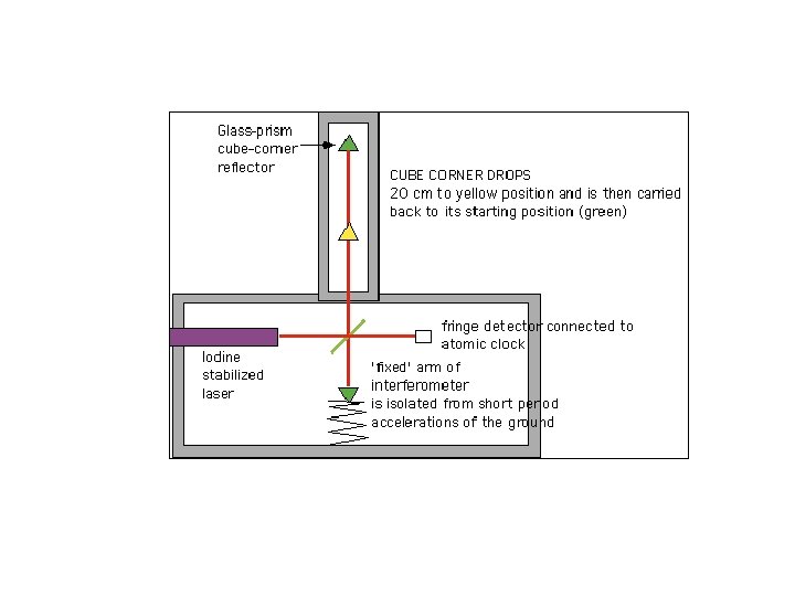
How does it work? • Motion of a test mass free falling in a vacuum is interferometrically measured with respect an inertial reference. • Controlled carriage assembly releases the test mass (a corner cube retroreflector mounted in an aluminum housing). • The inertial reference is another corner cube retroreflector mounted on a force feedback long period (60 sec) seismometer. • Non-gravitational forces are minimized (air drag, electrostatics, and eddy current damping).
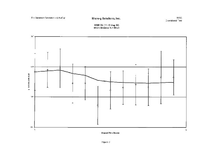
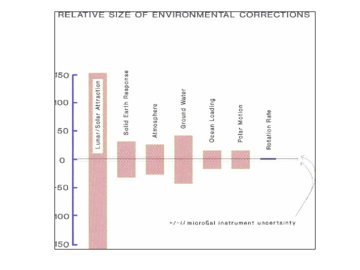
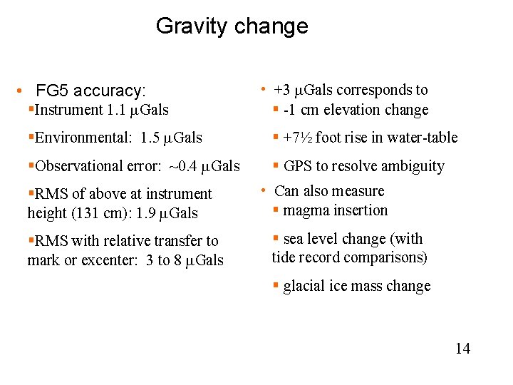
Gravity change • FG 5 accuracy: §Instrument 1. 1 m. Gals • +3 m. Gals corresponds to § -1 cm elevation change §Environmental: 1. 5 m. Gals § +7½ foot rise in water-table §Observational error: ~0. 4 m. Gals § GPS to resolve ambiguity §RMS of above at instrument height (131 cm): 1. 9 m. Gals §RMS with relative transfer to mark or excenter: 3 to 8 m. Gals • Can also measure § magma insertion § sea level change (with tide record comparisons) § glacial ice mass change 14
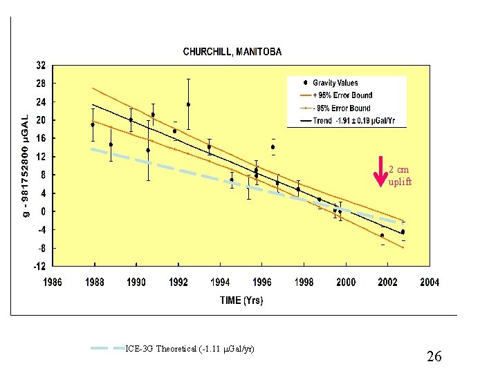
2 cm uplift ICE-3 G Theoretical (-1. 11 m. Gal/yr) 26
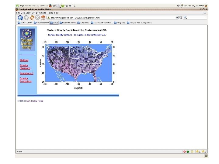
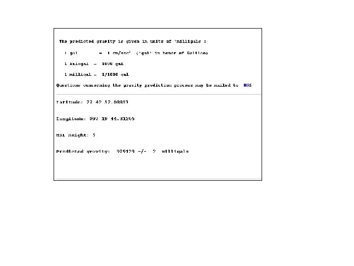
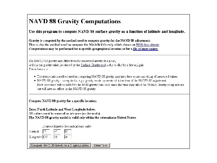
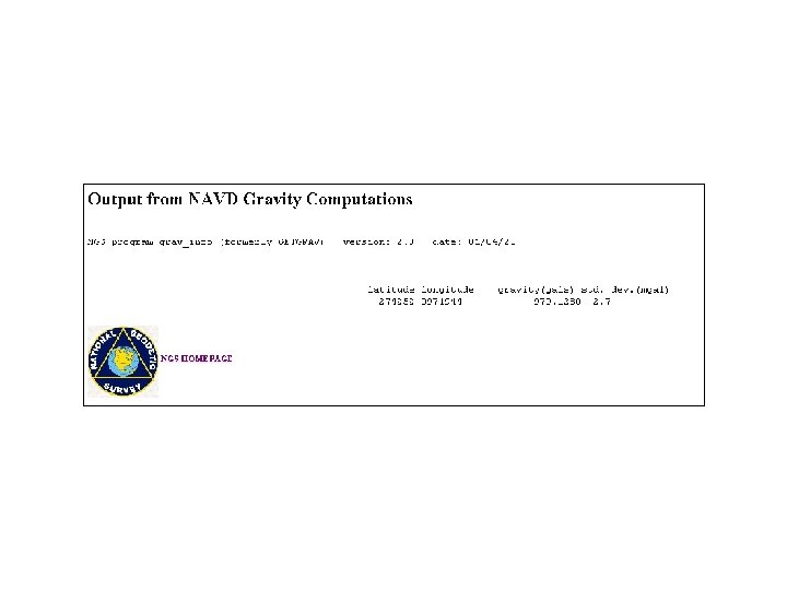
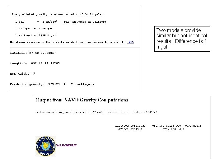
Two models provide similar but not identical results. Difference is 1 mgal.
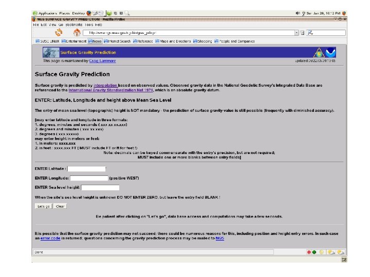
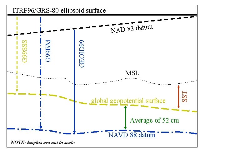
Which model to use? • NAVD 88 - Modeled Gravity uses a model developed for the NAVD 88 adjustment rather than current gravity values.
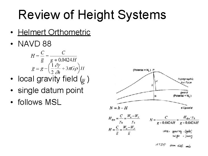
Review of Height Systems • Helmert Orthometric • NAVD 88 • local gravity field ( ) • single datum point • follows MSL
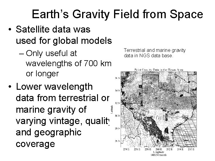
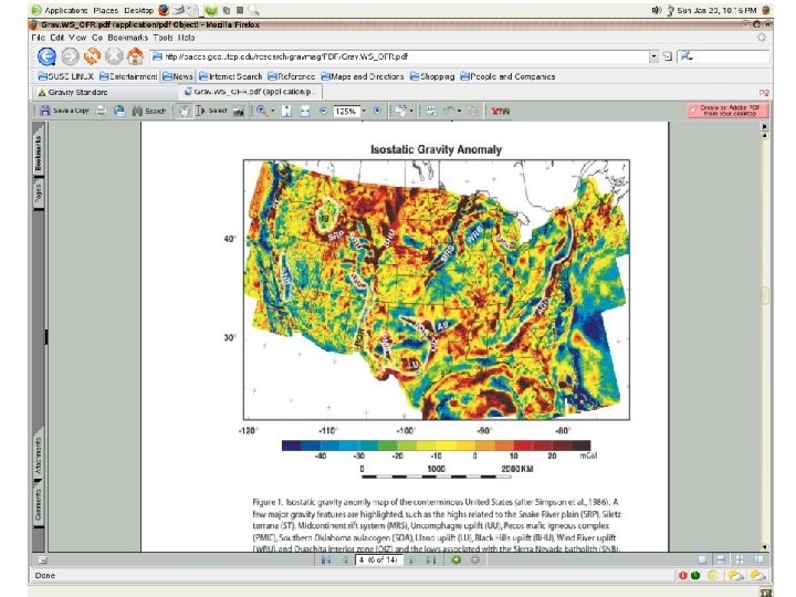
Earth’s Gravity Field from Space • Satellite data was used for global models – Only useful at wavelengths of 700 km or longer • Lower wavelength data from terrestrial or marine gravity of varying vintage, quality and geographic coverage Terrestrial and marine gravity data in NGS data base.
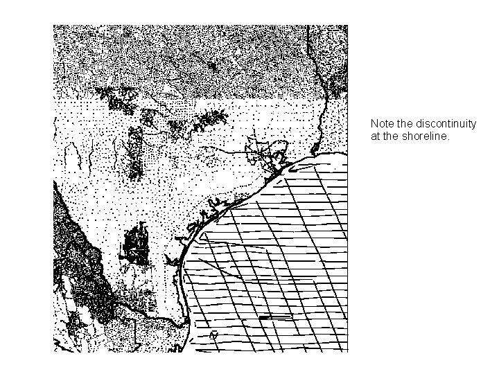
Note the discontinuity at the shoreline.
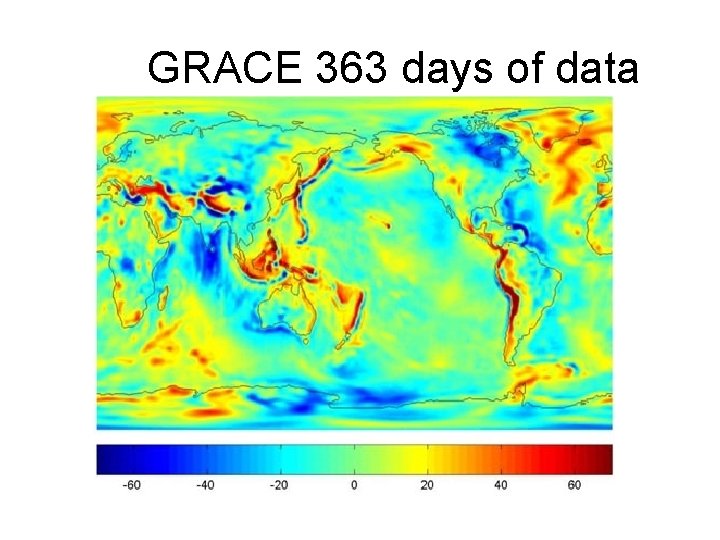
Gravity • Static gravity field – Based on long-term average within Earth system • Temporally changing component – Motion of water and air – Time scale ranges from hours to decades. • Mean and time variable gravity field affect the motion of all Earth space vehicles.
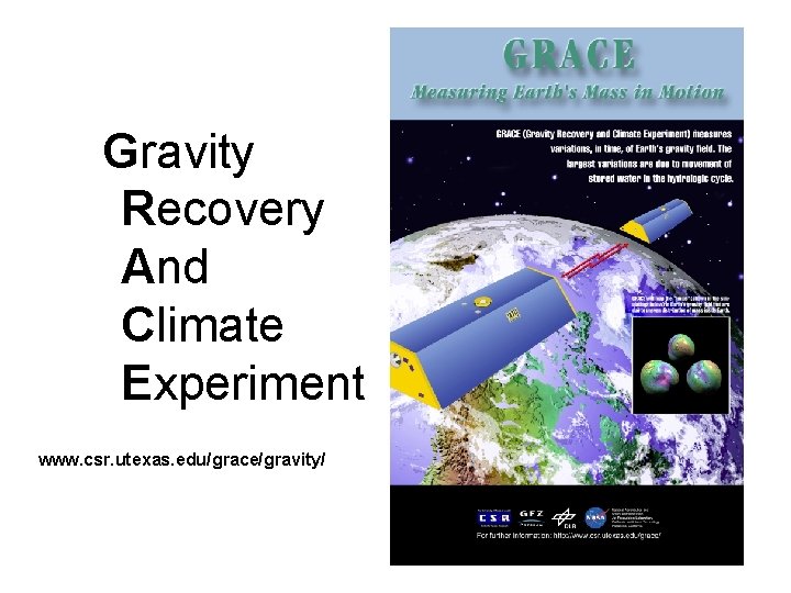
Gravity Recovery And Climate Experiment www. csr. utexas. edu/grace/gravity/
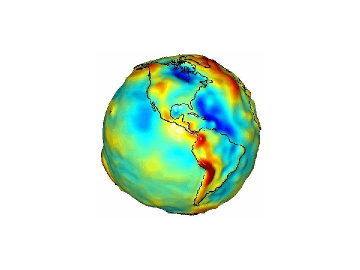
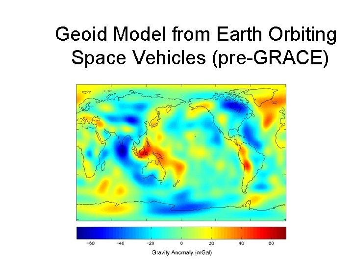
Geoid Model from Earth Orbiting Space Vehicles (pre-GRACE)
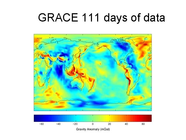
GRACE 111 days of data
GRACE 363 days of data
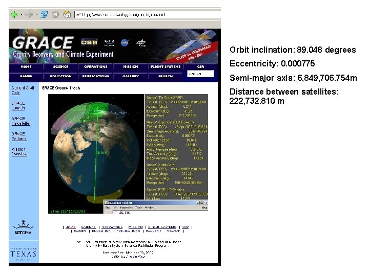
Orbit inclination: 89. 048 degrees Eccentricity: 0. 000775 Semi-major axis: 6, 849, 706. 754 m Distance between satellites: 222, 732. 810 m
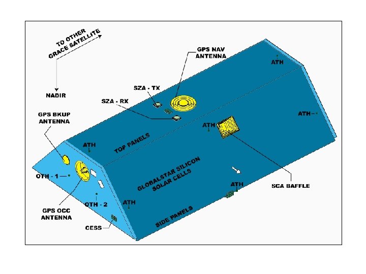
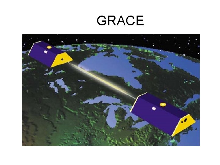
GRACE
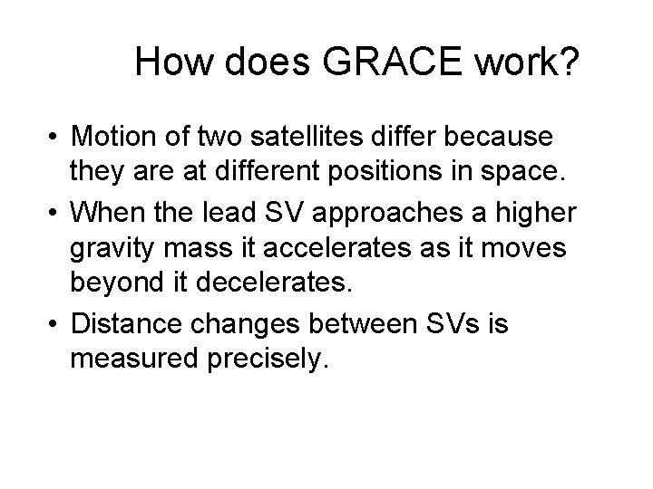
How does GRACE work? • Motion of two satellites differ because they are at different positions in space. • When the lead SV approaches a higher gravity mass it accelerates as it moves beyond it decelerates. • Distance changes between SVs is measured precisely.
ITRF 96/GRS-80 ellipsoid surface GEOID 99 G 99 BM G 99 SSS um NAD 83 dat global geopotential surface Average of 52 cm NAVD 88 datum NOTE: heights are not to scale SST MSL