Latitude Longitude History Use of grid lines originated


 used in Google Earth • Topographical")
 Cylindrical")


- Slides: 23
Latitude Longitude
History • Use of grid lines originated from about 300 B. C. E by Greek astronomers Hipparcus and Ptolemy • Used spherical trigonometry observations using sun, moon, and stars to plot points on a spherical earth • About 225 B. C. E, Eratosthenes measured circumference of the earth.
History • Knowing these dimensions, latitude was easily calculated. • Measured sun’s angle at noon relative to the equator. • Noon was determined simply from the highest point of the sun. • Longitude was much harder to calculate, however
History • East-west distance from one place to another on the earth could be plotted from position of sun and stars, but only if the time difference between the two places was known. • Inexact until invention of telescope and an accurate clock in the 16 th century • 1760, John Harrison invented an exact marine chronometer.
Lines of longitude only Equator added Other lines of latitude added
Cross-section through line of longitude Crosssections through lines of latitude
Latitude • “Lat is Flat” • Latitude lines run horizontally and are also known as parallels • Each degree of latitude is approximately 69 miles apart, but there is some variation due to the earth being an oblate ellipsoid.
Latitude • Equator is latitude line of 0 degrees. • Values indicate angular distance between Equator and points north or south of the surface of the Earth • Degrees latitude are numbered from 0 – 90 north and south (90 N is North pole; 90 S is South pole)
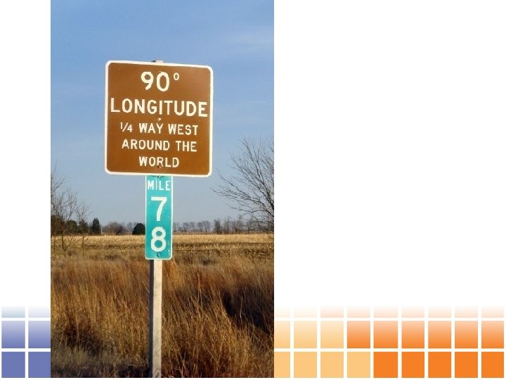
Longitude • Longitude lines run vertically and are also called meridians. • • Converge at poles and are widest at equator • Zero degrees longitude is located at Greenwich, England. Established in 1884. “Prime meridian”.
Longitude • Degrees continue 180 degrees east and 180 degrees west where they meet and form the International Date Line
Map Projections
What is a Map Projection? • A mathematical expression used to represent the 3 D surface of the earth on a 2 D map • Always results in distortions Source: http: //support. google. com/earth/bin/answer. py? hl=en&answer=148111
Projection Surfaces • Cylindrical – Meridians and parallels are equidistant, straight lines, crossing at right angles • Conical – Parallel(s) that are touching the cone are assigned unitary scale • Planar – Point or circle that intersects tangent plane has no distortion Source: http: //en. wikipedia. org/wiki/Map_projection#Projections_by_surface
Preservation of a Metric Property • Conformal- Preserves angles locally • Equal-area- Preserves area • Equidistant- Preserves distance from a standard point or line • Gnomonic- Preserves shortest route between two points (great circles projected as straight lines) • Azimuthal- Preserves cardinal directions • Compromise- Balancing/minimizing overall distortion Source: http: //en. wikipedia. org/wiki/Map_projection#Projections_by_surface
Projection Comparison Equal Area Projection Equal Angle Projection
Universal Transverse Mercator • Lat/Lon WGS 84 (UTM) used in Google Earth • Topographical maps, geological maps • Cylindrical, conformal • Large distortions at the poles • Greenland (blue) vs. Africa (red) example Source: http: //support. google. com/earth/bin/answer. py? hl=en&answer=148111 http: //www. pratham. name/mercator-projection-africa-vs-greenland. html
UTM projection • • • Universe Transverse Mercator Conformal projection (shapes are preserved) Cylindrical surface Two standard meridians Zones are 6 degrees of longitude wide
UTM zones
Zone 16 Zone 15
State Plane Coordinate System • System of map projections designed for the US • It is a coordinate system vs a map projection (such as UTM, which is a set of map projections) • Designed to minimize distortions to 1 in 10000
http: //www. avenza. com/sites/default/files/flashmaps/spsc/index. html
Illinois East 1201 Illinois West 1202