Latitude and Longitude Lines of Latitude Run East


- Slides: 18
Latitude and Longitude
Lines of Latitude • Run East and West • Zero Degrees is the Equator • Measure distances North/South of the Equator • 0 o -90 o N and S
Lines of Longitude • Run From the North Pole to the South Pole • Zero Degrees is the Prime Meridian • Measure distances east and west of the Prime Meridian • 0 o – 180 o E and W – 180 o = International Date Line
Important Lines of Latitude Tropic of Cancer 23. 5 o N Equator Tropic of Capricorn 23. 5 o S
The Tropics
Important Lines of Latitude Only region on Earth were the Sun can be directly overhead (90 o) Tropic of Cancer 23. 5 o N Equator Tropic of Capricorn 23. 5 o S
Important Lines of Latitude Arctic Circle Tropic of Cancer 66. 5 o N 23. 5 o N Equator Tropic of Capricorn Antarctic Circle 23. 5 o S 66. 5 o S
Arctic & Antarctic Circles • Notice that when the Earth is tilted towards the Sun locations north of the Arctic Circle receive 24 hours of light for a period of time.
Important Lines of Latitude Arctic Circle Only regions on Earth that can experience 24 hours of light or dark. Tropic of Cancer 66. 5 o N 23. 5 o N Equator Tropic of Capricorn Arctic Circle 23. 5 o S 66. 5 o S
Listing Coordinates • Latitude is given 1 st and longitude is 2 nd • You must always include a direction (N, S, E, W) Breaking Up a Degree into a Smaller Amount • One degree = 60 minutes • Symbol for a minute is ’
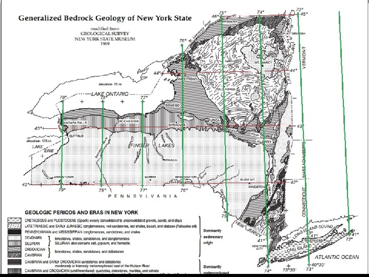
Instead of a degree being broken up into decimals (. 1. 2. 3 ect. ) degrees are broken up into 60 minutes. So instead of saying 42. 5 o you would say, 42 o 30’ N. 43 o 55’ 50’ 45’ 40’ 35’ 30’ 25’ 20’ 42 o 15’ 10’ 5’
Finding Polaris – The North Star Little Dipper Polaris Big Dipper
Correlation Between Latitude and Angle of Polaris Above the Horizon The angle between Polaris and the horizon is equal to the latitude you are at. Polaris Horizon
Star Trails
Star Trails • Earth rotates 15 o /hr • All objects move across the sky 15 o /hr 45 o
Mercator Maps
Distortion of Mercator Maps