Latin Americas GEOGRAPHY Presentation Graphic Organizers Activities STANDARDS


")


- Slides: 42
Latin America’s GEOGRAPHY Presentation, Graphic Organizers, & Activities
STANDARDS: SS 6 G 1 The student will locate selected features of Latin America and the Caribbean. a. Locate on a world and regional politicalphysical map: Amazon River, Caribbean Sea, Gulf of Mexico, Pacific Ocean, Panama Canal, Andes Mountains, Sierra Madre Mountains, and Atacama Desert. b. Locate on a world and regional politicalphysical map the countries of Bolivia, Brazil, Colombia, Cuba, Haiti, Mexico, Panama, and Venezuela. © Brain Wrinkles
Geography of Latin America
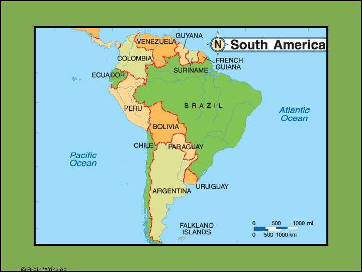
Geography Latin America is divided into three regions: 1. Mexico and Central America 2. The Caribbean 3. South America
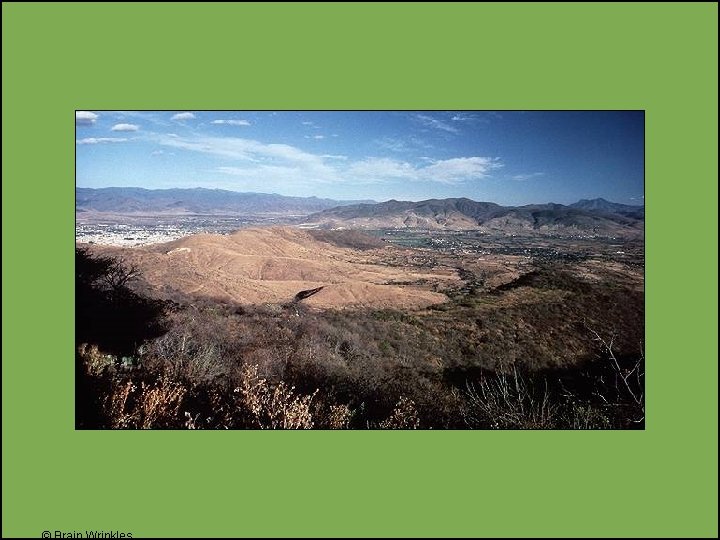
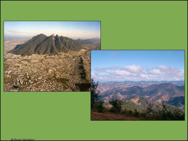
Mexico & Central America • 2, 500 miles (about as wide as the US) • Mountains dominate the region • Part of a huge system that extends from Canada, through the US, and all the way to the tip of South America • Central plateau in Mexico • Lies between Sierra Madre mountains and makes up more than half of the country’s area • Central America is an Isthmus • Isthmus = a narrow strip of land that has water on both sides and joins 2 larger bodies of water • Many volcanoes in Central America, as a result, their soil is arable (fertile) and many people farm lands
© Brain Wrinkles
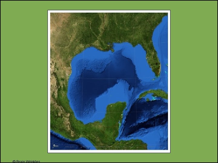
Gulf of Mexico • The Gulf of Mexico is a body of water. • It is bordered by: • United States to the north, • 5 Mexican states to the south, • and Cuba to the east.
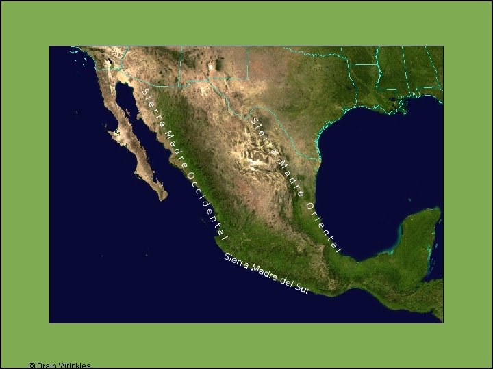
Sierra Madre Mountains • A mountain system in Mexico • Three major chains: the Sierra Madre Occidental in the west, the Sierra Madre Oriental in the east, and the Sierra Madre del Sur, which extends along the southern coast. • The Sierra Madre range contains some of the highest mountains and volcanoes in
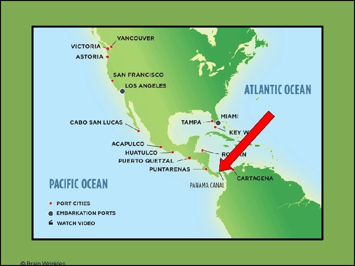
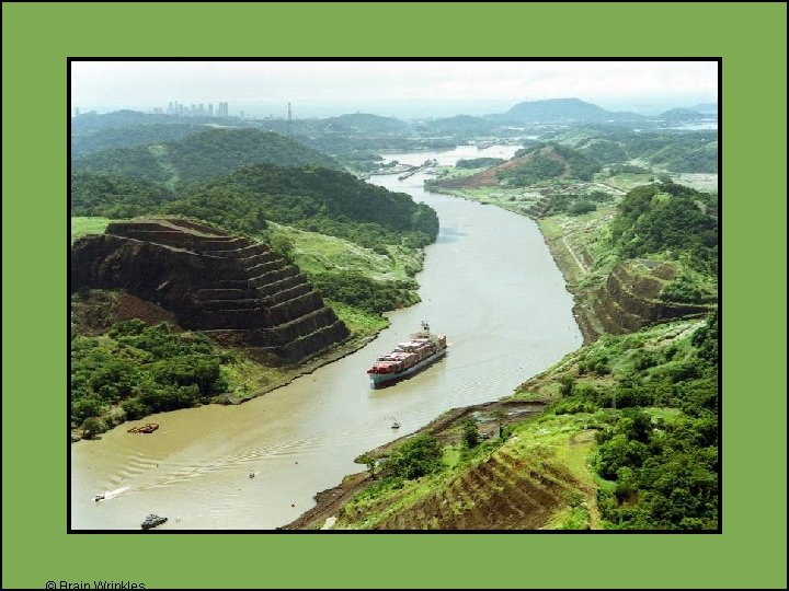
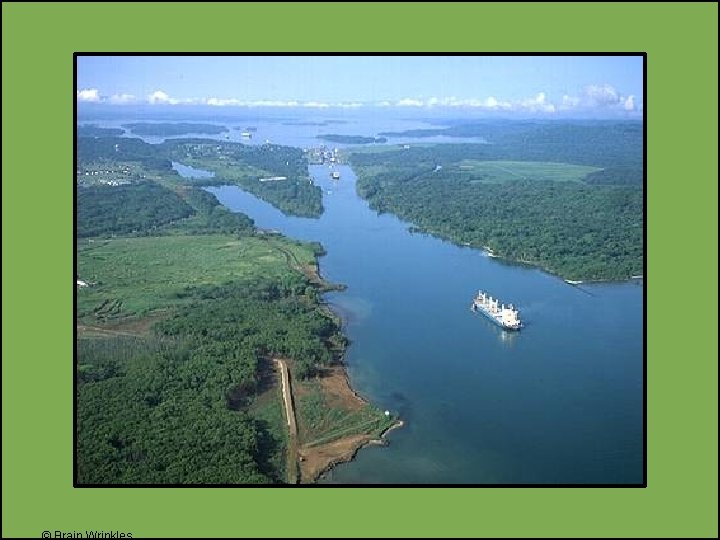
Panama Canal • A canal across the isthmus of Panama in Central America • A major “shortcut” that allows ships to travel between the Pacific and Atlantic oceans. • It handles a large volume of world shipping and enables ships to avoid traveling around South America, reducing their voyages by thousands of miles and many days. • It consists of artificially created lakes, channels, and a series of locks, or water-filled chambers, that raise and lower ships through the mountainous terrain of central Panama.
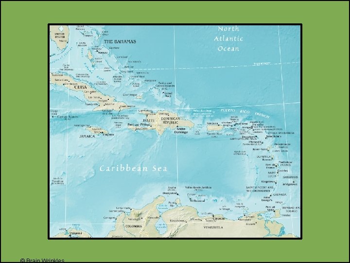
Caribbean Islands • The smaller islands are made of coral. • (Skeletons of tiny sea animals, rock-like substance) • The larger islands are tops of underwater mountains. • Examples: Cuba, Jamaica
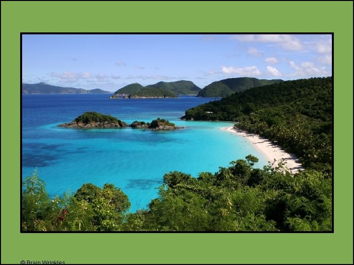
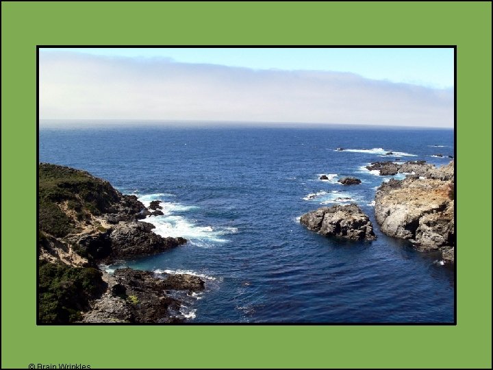
Caribbean Sea • It surrounds the islands of the West Indies. • It’s east of Central America. • It’s a major trade route for Latin American countries. • A popular tourist area—noted for its mild tropical climate and beautiful waters
South America
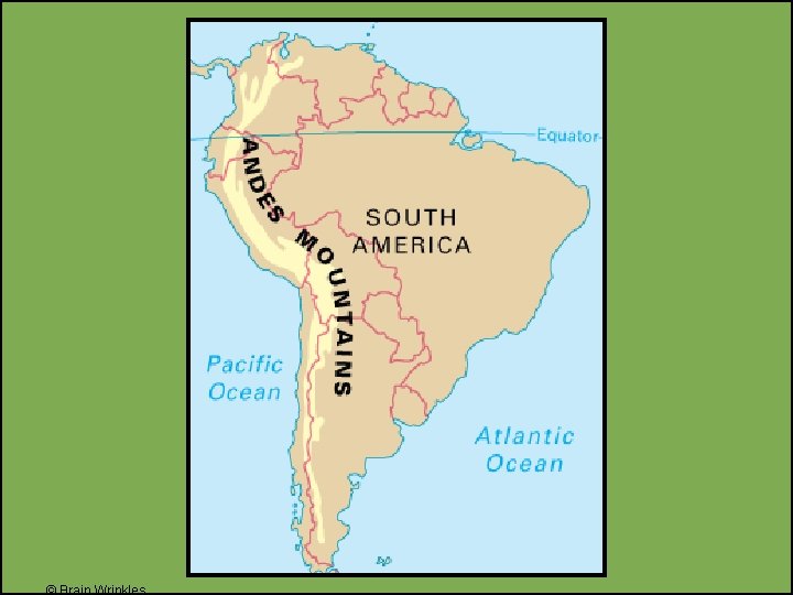
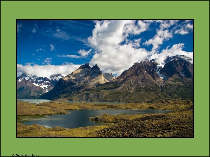
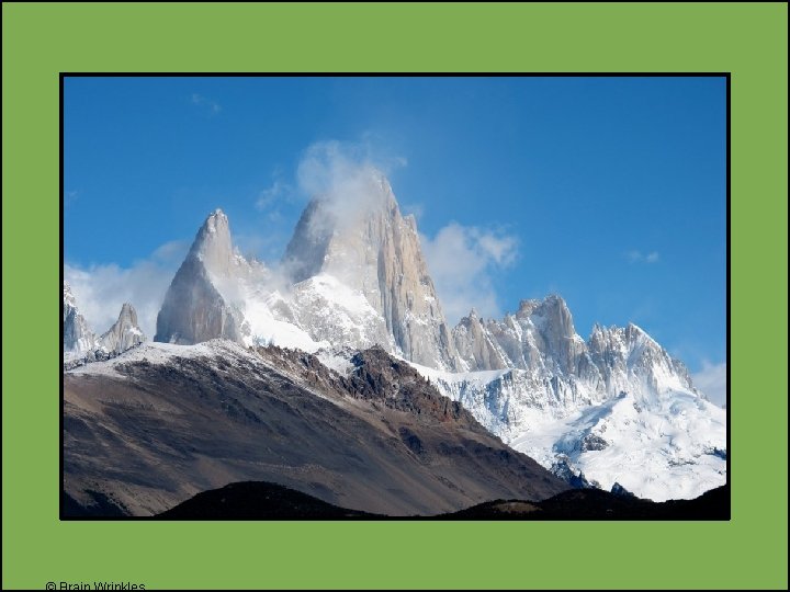
Andes Mountains • 4, 500 miles along west coast of South America • They rise at some points to 20, 000 feet— same height as twenty 100 story buildings stacked on top of each other! • 2 nd largest mountains in the world-Himalayas are the 1 st.
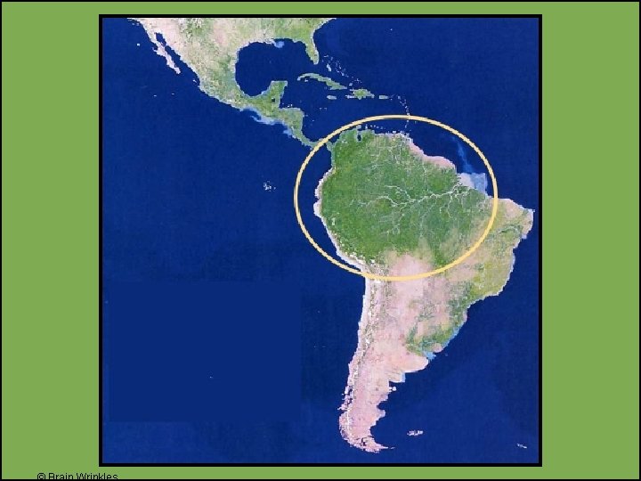
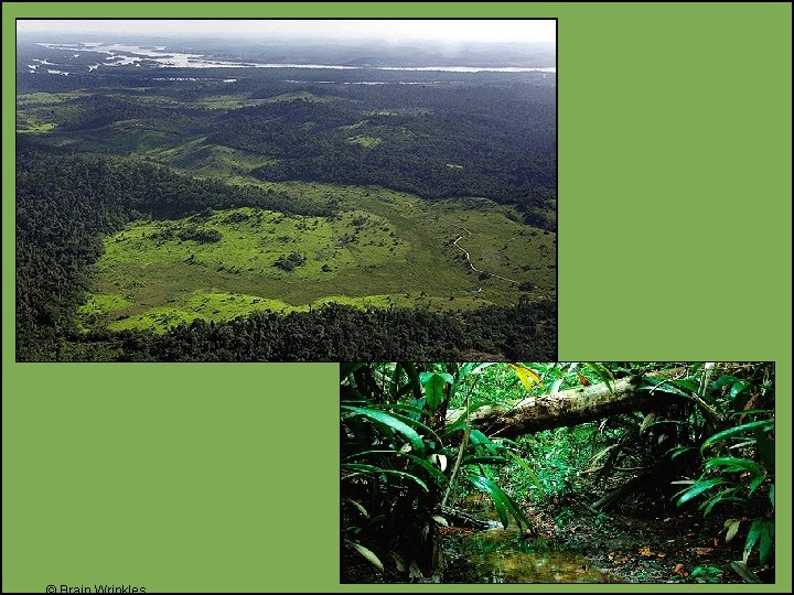
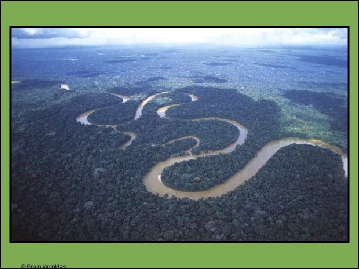
Amazon Rain Forest • Located in Brazil, in the Amazon River Basin • It is the largest tropical rain forest in the world. • It covers 1/3 of the continent of South America.
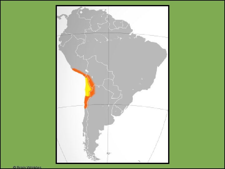
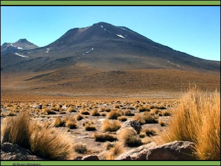
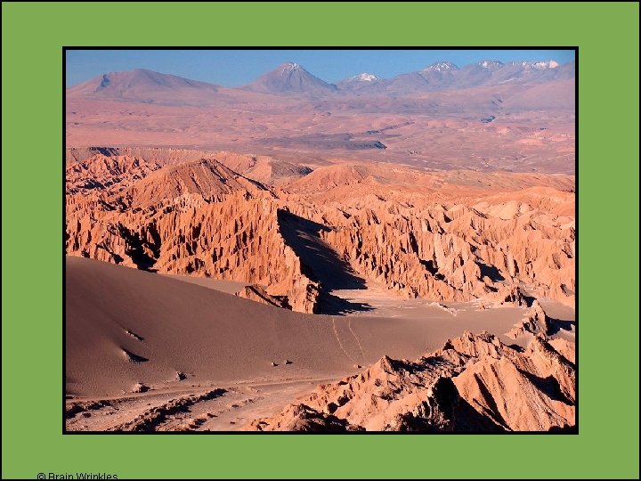
Atacama Desert • It is located in Chile. • Between the Pacific Ocean and the Andes Mountains • It’s one of the driest places on earth; very little rainfall year round.
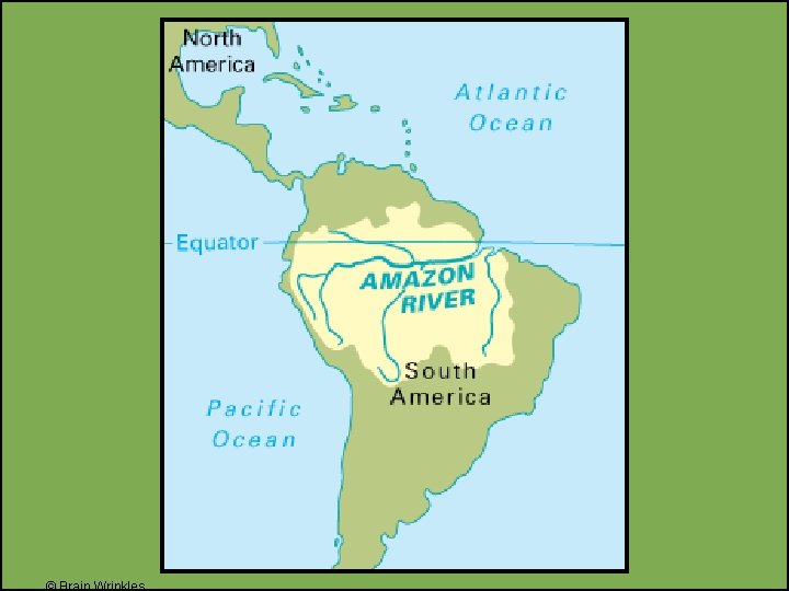
Amazon River • It’s the 2 nd largest river in the world (1 st is the Nile River). • It stretches 4, 000 miles from Peru across to Atlantic Ocean. • The river contains 20% of all fresh water in the world! • It serves as a natural highway where it’s hard to build roads. • It provides food and hydroelectric power.
Pacific Ocean • World’s largest ocean • Covers the western coast of South America
© Brain Wrinkles
Be Thing… Your Task: • Choose ONE of Latin America’s physical features and we’ll try to guess what you are! • Imagine that you are one of the physical features of Latin America. Using descriptive details, include at least 5 interesting facts about yourself. • Draw a colorful illustration of the feature
Example Can you believe it? I didn’t even exist until about 100 years ago. Everyone says that I’m super important to the economy and blah, but I am so tired of everybody always using me. Chug, chug across me all day long. I wish I had some lush, tropical trees to look at. I miss the good ol’ days when I lived in the jungle. All I see now are people in such a hurry to reach the other side.
Panama Canal!