Latin America Regions of Latin America The Caribbean

Latin America


Regions of “Latin America” The Caribbean Central America South America

Cities Havanna Port-au. Mexico City Prince Caracas Panama City Bogota Lima Santiago Brasilia Rio De Janiero Buenos Aires


1. Lat. American Land • The Amazon River starts in the Peruvian Andes Mountains and travels 4, 000 miles to the coast of Brazil. • The Amazon is the second longest river in the world. • http: //www. youtube. com/watch? v=IScmh. Wj. GU l 4 • Secret Cities of the Amazon^^

2. Latin America Land • The Amazon River http: //www. youtube. com/watch? v=ta 35 C 488 dn E


Amazon Rain Forest


• http: //www. youtube. com/watch? NR=1&featur e=endscreen&v=O 0 h. S 0 uw. Mmf. E


Mouth of the Amazon River

3. Mountains & Plateaus • The mountains throughout Latin America resemble the U. S. Rocky Mountians. • Famous mountain systems include the Sierra Madre of Mexico and the Andes of Chile. • Latin America has a rugged landscape because the region sits on the Pacific Ring of Fire.

4. Mountains & Plateaus • The rugged landscape is home to many earthquakes and volcanoes. • The landscape isolated individuals who could not travel across the steep mountain systems. • In recent years technology (radio, TV, Internet, air transportation) aided in cultural diffusion.

Topography of Latin America

5. Mountains & Plateaus • The Sierra Madre Mts are divided into to ranges S. M. Oriental (Eastern) & S. M. Occidental (Western)

Sierra Madre Oriental (Eastern)

Sierra Madre Occidental (Western)

6. Mountains & Plateaus

7. Mountains & Plateaus • The Andes Mountains form the longest continuous chain in the world (4, 500 miles). • The Andes stretch along the western coast of South America. • Many peaks in the Andes top 20, 000 ft. in height.

8. Mountains & Plateaus • Andes Mts.


Llamas in the Andes


• Machu Picchu, • Peru • http: //xfinitytv. comcast. net/tv/Nova/9993/20537 16941/Ghosts-of-Machu-Picchu/videos • “Manly Peak”


Machu Picchu • After the initial invasion of the Incan Empire, the Spanish tried to search for the Capital. • It took the invaders a couple of years to crush all the resistance in the lowlands, before they were finally given information that the Incan Capital had been tracked down - little did they know it was only the fortress defending the capital they had discovered.


Easter Island • Easter Island is famous for its monumental statues, called moai. • Its inhabitants the Rapanui have endured famines, epidemics, civil war, slave raids and colonialism; have seen their population crash on more than one occasion. • http: //www. hulu. com/wat ch/23349/nova-secrets-

• Easter Islanders deforested the island in the process of erecting their statues. • Experimental archaeology has clearly demonstrated that some statues certainly could have been placed on wooden frames and then pulled to their final destinations on ceremonial sites.


Easter Island • The Birdman Cult • Took place from the mid 1800’s to the early 1900’s. • Clans fought for control of resources. • Led to much of the misery of the 1900’s.

Ll an os Amazon Basin Mato Grosso Gran Chaco Pa mp as Valleys Plains and Basins

Mountains and Peaks Sierra Madres Mts. Guiana Highlands Andes Mts. Brazilian Highlands Patagonian Plateau

8. Mountains & Plateaus • In southern Argentina, hills an lower flatlands form the plateau of Patagonia. • http: //www. youtube. com/watch? v=4 Zq. Nh. SF 2 IN 4

A lake in Neuquén, Argentine portion of Patagonia

The Nahuel Huapi Lake

Tierra del Fuego • Tierra del Fuego is an archipelago, separated from the southernmost tip of the South American mainland by the Strait of Magellan.


Cape Horn: the Southernmost tip of S. America

Cape Horn

9. Lowlands and Plains • One of the longest strips of coastal plain in Latin America is along Brazil’s Atlantic Coast.

10. Lowlands and Plains • Recife, Brazil

11. Lowlands and Plains • Inland areas of South America hold vast grassland: the llanos of Colombia/Venezuela, and the pampas of Argentina/Uruguay. • Both plains provide land for grazing beef cattle. • This is where most of our fast-food meat comes from. • Farmhands called llaneros or gauchos help drive large herds across the terrain.


12. Lowlands and Plains • The pampas is known as one of the world’s major “breadbaskets”.

Cattle Ranching on the Pampas

Gauchos of the Pampas, Argentina

13. Water Systems • Most of the rivers of Latin America are located in South America. • One important exception in the Rio Grande River.

Bodies of Water Gulf of Mexico Caribbean Lake Sea Maracaibo Orinoco R. Magdalena R. Amazon R. Pacific Ocean Lake Titicaca Sao Francisco R. Parana R. Uruguay R. Rio de La Plata Atlantic Ocean

14. Water Systems • Oceangoing ships can travel up to 2, 300 miles inland from the Atlantic coast. • The Parana, Paraguay, and Uruguay Rivers form the second-largest river system in Latin America. • Hydroelectric power is a major energy resource throughout South America.

15. Water Systems • This region has the world’s highest navigable lake Lake Titicaca. • Lake Titicaca lies 12, 500 ft. above sea level. • Lake Maracaibo is South America’s largest lake.

Lake Titicaca


16. Natural Resources • Latin America has significant natural resources, including minerals, forests, farmland water. • Major deposits of oil and natural gas are found in the mountain valleys and offshore areas. • Mexico and Venezuela are major oil producers.

17. Climate and Vegetation • Much of Latin America lies between the Tropic of Cancer and Tropic of Capricorn. • Mountain ranges and wind patterns create a variety of climates and natural vegetation. • A tropical rain forest climate dominates South Mexico, Eastern Central America, some Caribbean islands, and parts of S. America.

The Tropical Hemisphere

Latin American Climatic Zones

18. Rain Forest • Hot temperatures and abundant rainfall occur year round in the Amazon Basin.

19. Rain Forest • In Latin America’s tropical rain forest areas, broad-leafed and needle-leafed evergreen trees are so close together that their crowns form a dense canopy. • Canopy A continuous layer of leaves.

20. Rain Forest • The Amazon Basin, with the Earth’s largest rain forest, covers about 1/3 rd of South America. • Heavy rains fall year round especially between January and June. • Flooding causes the width of rivers to increase. • In Brazil, rivers may be 1 -6 miles wide. But up to 30 miles during flooding.

21. Rain Forest


Three-Tiered Vegetation


21. Rain Forest (Wildlife) • The capybara is the largest rodent in the world. • Adult capybaras may grow up to 4 feet long and weigh up to 140 lbs. • http: //vimeo. com/10994530

Piranha http: //www. youtube. com/watch? v=4 fr. Rbnl 50 HU

22. Rain Forest • The rain forest is home to a great deal of biodiversity. • http: //animal. discovery. com/videos/rivermonsters-vampire-piranha. html • Snakes, iguanas, leopards, and crocodiles call the Amazon home.

23. Tropical Savanna • In a tropical savanna climate vast green lands flourish. • The climate consists of hot temps abundant rainfall and also an extended dry season. • Colombia and Venezuela are covered with scattered trees and considered transition zones between grassland forests.
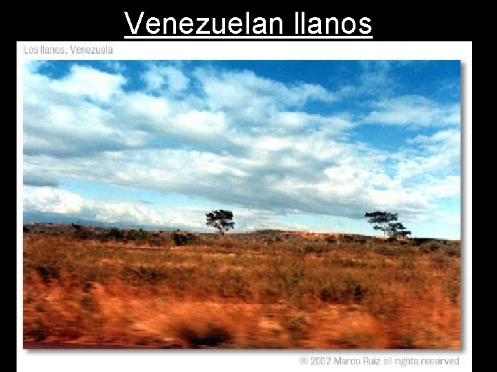
Venezuelan llanos

Venezuelan llanos
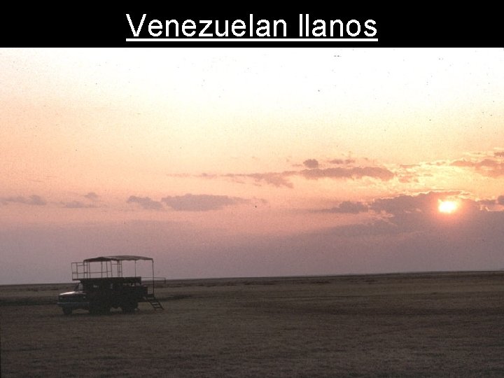
Venezuelan llanos
24. Humid Subtropics • A humid sub-tropic climate prevails over much of SE South America. • Includes: Brazil, Argentina, and Uruguay. • Winters are short and mild, and summers are long, hot and humid.
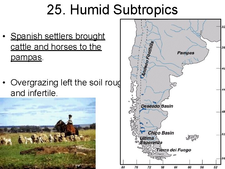
25. Humid Subtropics • Spanish settlers brought cattle and horses to the pampas. • Overgrazing left the soil rough and infertile.
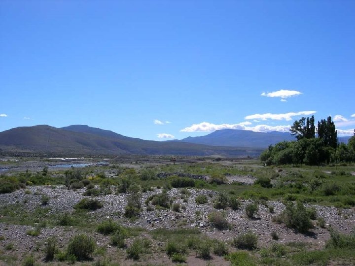
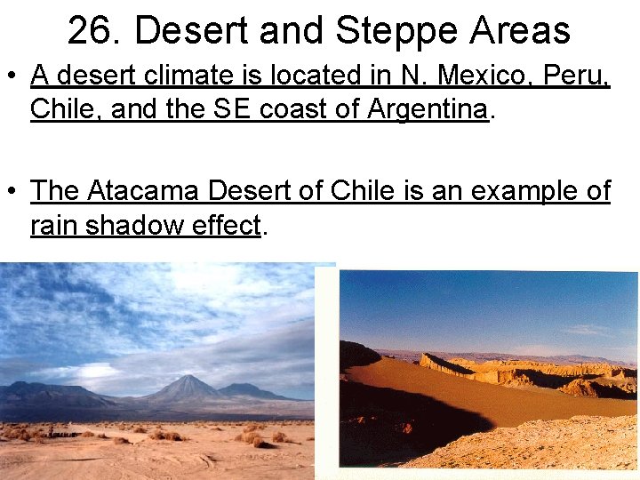
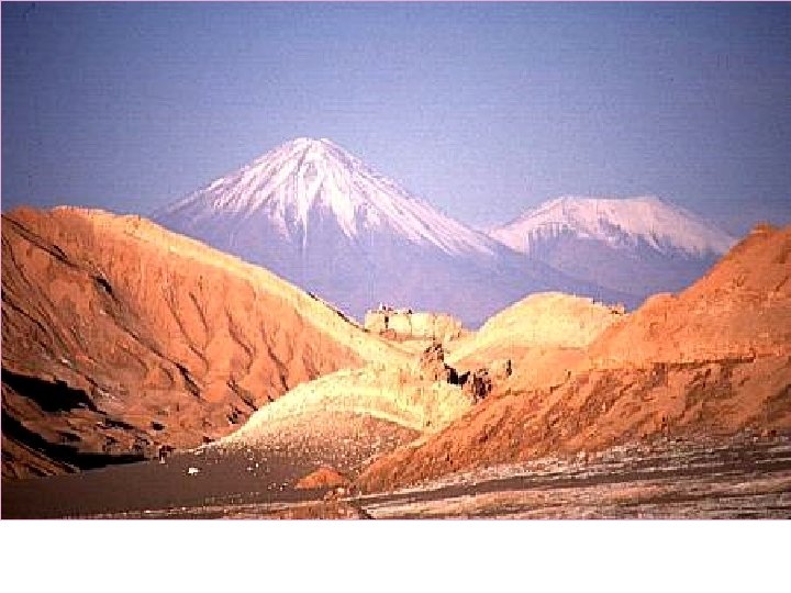
26. Desert and Steppe Areas • A desert climate is located in N. Mexico, Peru, Chile, and the SE coast of Argentina. • The Atacama Desert of Chile is an example of rain shadow effect.
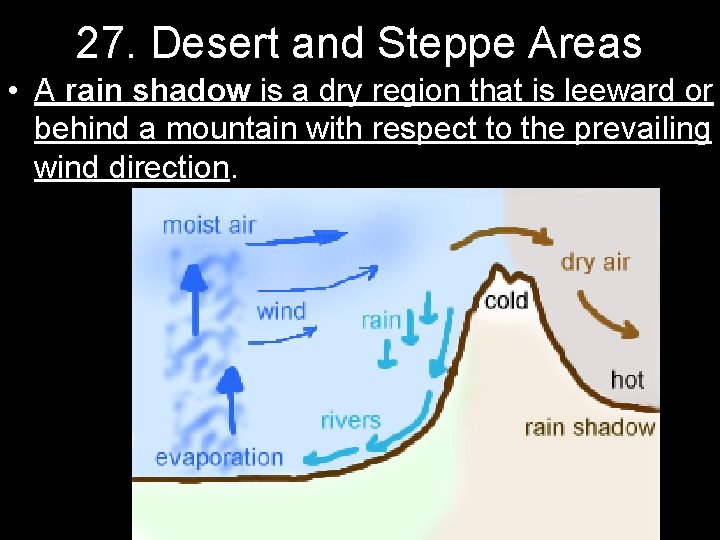
27. Desert and Steppe Areas • A rain shadow is a dry region that is leeward or behind a mountain with respect to the prevailing wind direction.
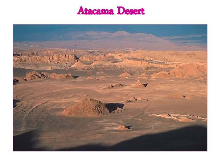
Atacama Desert
28. Desert and Steppe Areas • Steppe climate hot summers, cool winters, and light rainfall. • Parts of Latin America N. Mexico, NE Brazil, South Central South America have a steppe climate.
29. Elevation and Climate • The climates of South America are affected by elevation. • There are three zones that are classified by elevation increases. • Each zone has its own characteristic vegetation and crops.
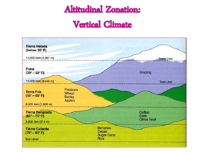
Altitudinal Zonation: Vertical Climate
30. Elevation and Climate • The tierra caliente or “hot land”, lies at elevations between sea level and 2, 500 ft. • Average temp is between 68 and 91 degrees. • Home to banana, sugar, and rice crops.
31. Elevation and Climate • The tierra templada or “temperate land”, lies between 2, 500 and 6, 500 ft. • Average temp is between 60 and 72 degrees. • This is the most densely populated zone. • Main crops include coffee and corn.
32. Elevation and Climate • The tierra fria or “cold land” is located between 6, 500 and 10, 000 ft. • Average temp is between 50 and 64 degrees. • Main crops are barley and potatoes.
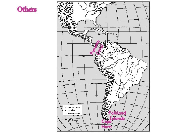
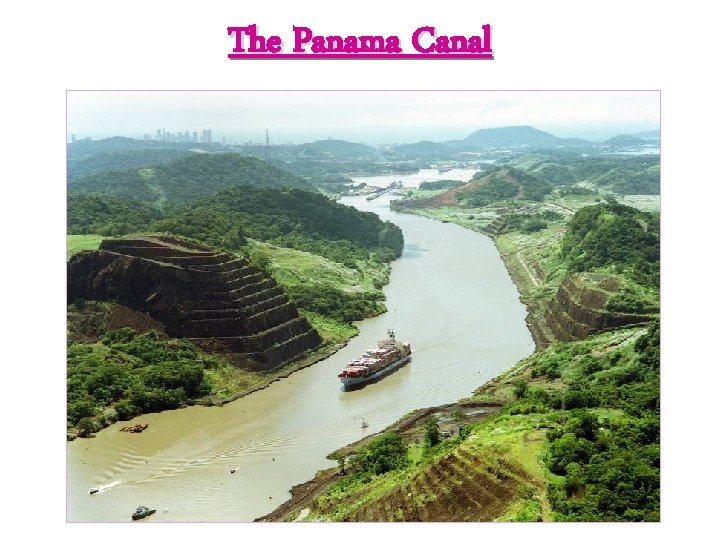
Pan a Ca ma nal Others Falkland Islands Cape Horn
The Panama Canal
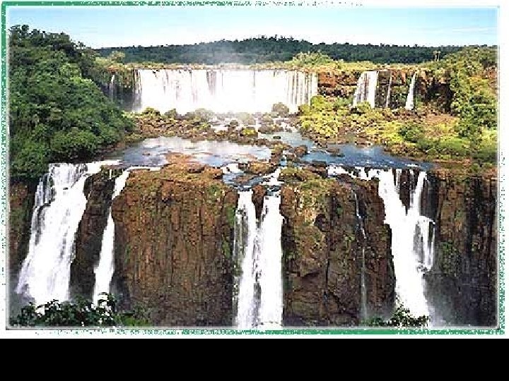
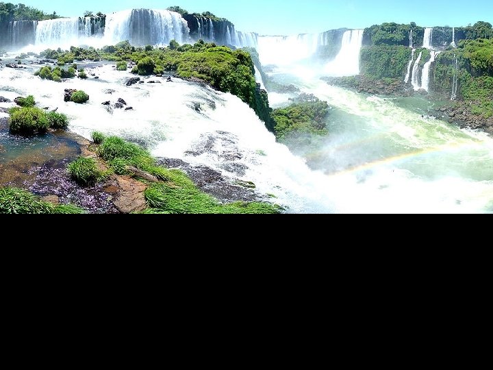
33. Geographical Features • Iguazu Falls, Argentina
34. Geographical Features
35. Iguazu Falls
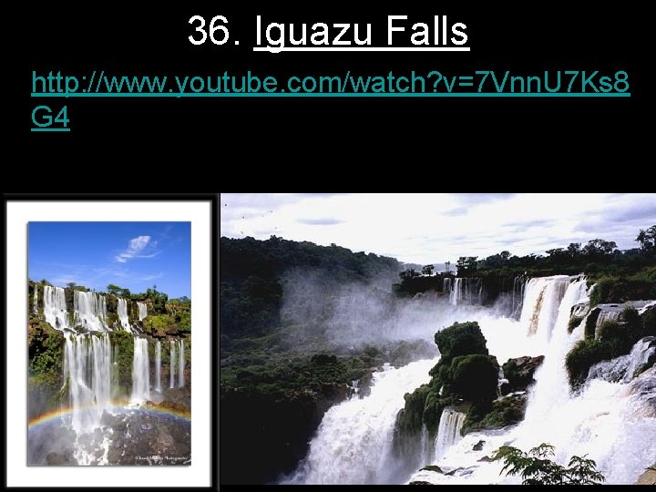
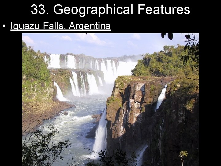
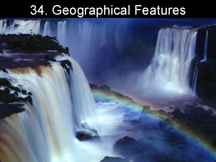
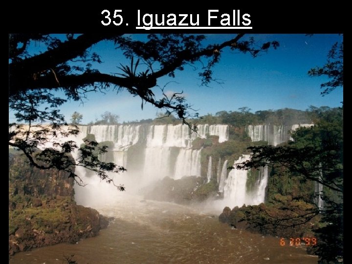
36. Iguazu Falls • http: //www. youtube. com/watch? v=7 Vnn. U 7 Ks 8 G 4
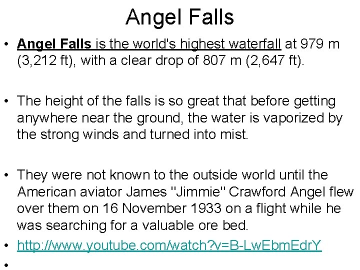
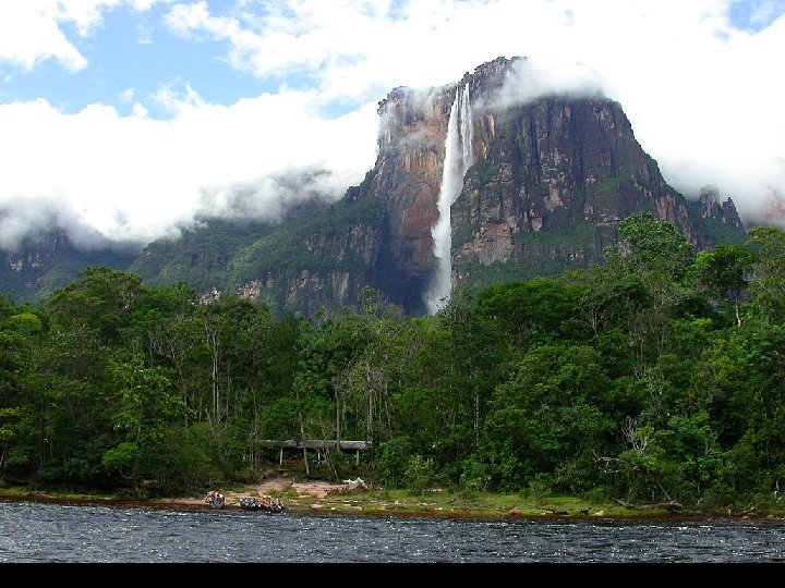
Angel Falls • Angel Falls is the world's highest waterfall at 979 m (3, 212 ft), with a clear drop of 807 m (2, 647 ft). • The height of the falls is so great that before getting anywhere near the ground, the water is vaporized by the strong winds and turned into mist. • They were not known to the outside world until the American aviator James "Jimmie" Crawford Angel flew over them on 16 November 1933 on a flight while he was searching for a valuable ore bed. • http: //www. youtube. com/watch? v=B-Lw. Ebm. Edr. Y
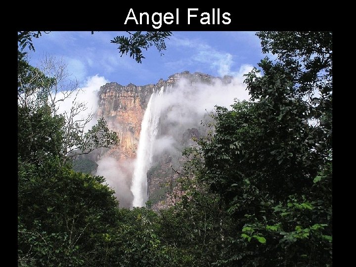
Angel Falls
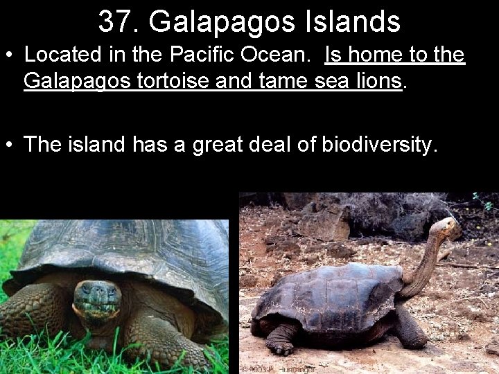
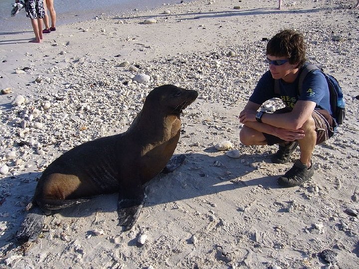
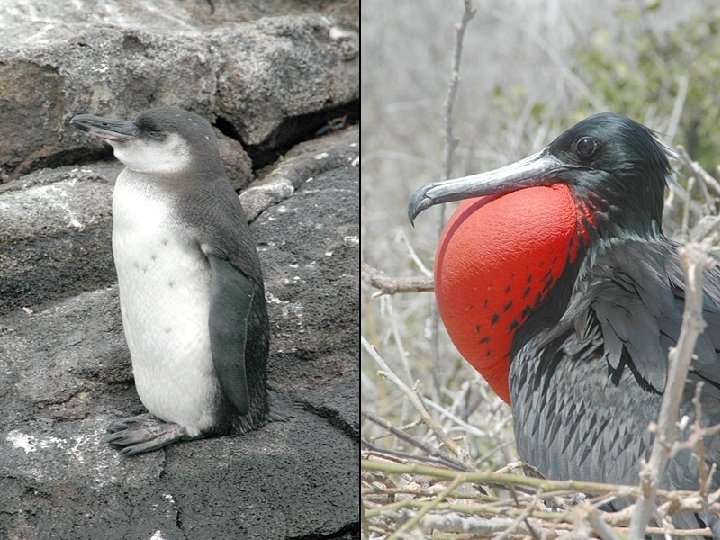
37. Galapagos Islands • Located in the Pacific Ocean. Is home to the Galapagos tortoise and tame sea lions. • The island has a great deal of biodiversity.
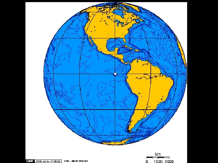

Galapagos Islands • Observations there contributed to Charles Darwin’s ideas of evolution and natural selection. • http: //science. discovery. com/videos/100 greatest-discoveries-shorts-naturalselection. html
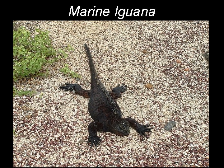
Marine Iguana
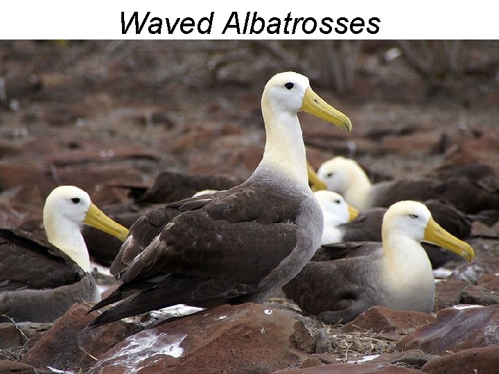
Waved Albatrosses
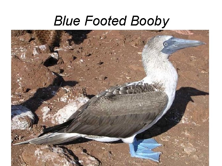
Blue Footed Booby

Adios!
- Slides: 113