
Landforms on the Globe 2 06 Identify and
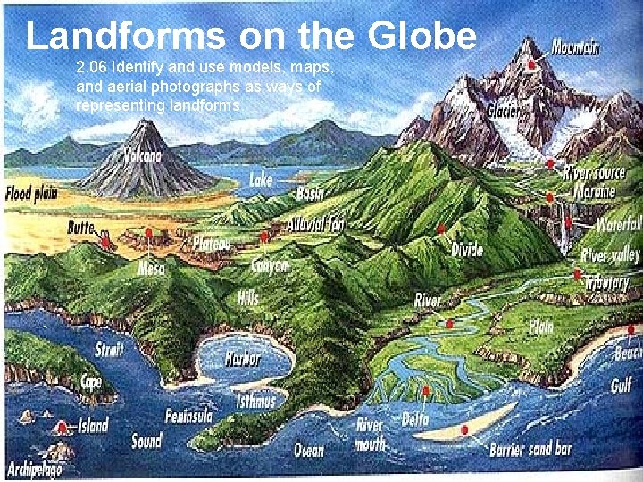
Landforms on the Globe 2. 06 Identify and use models, maps, and aerial photographs as ways of representing landforms.
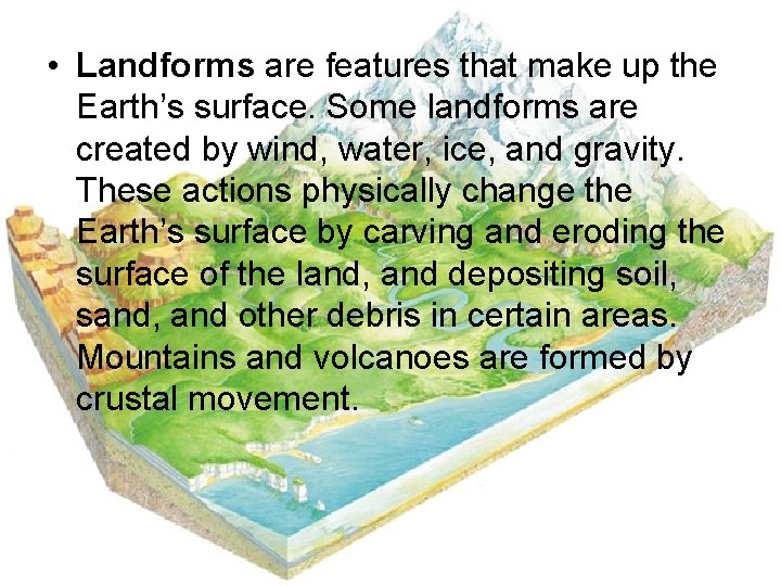
• Landforms are features that make up the Earth’s surface. Some landforms are created by wind, water, ice, and gravity. These actions physically change the Earth’s surface by carving and eroding the surface of the land, and depositing soil, sand, and other debris in certain areas. Mountains and volcanoes are formed by crustal movement.
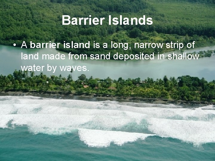
Barrier Islands • A barrier island is a long, narrow strip of land made from sand deposited in shallow water by waves.
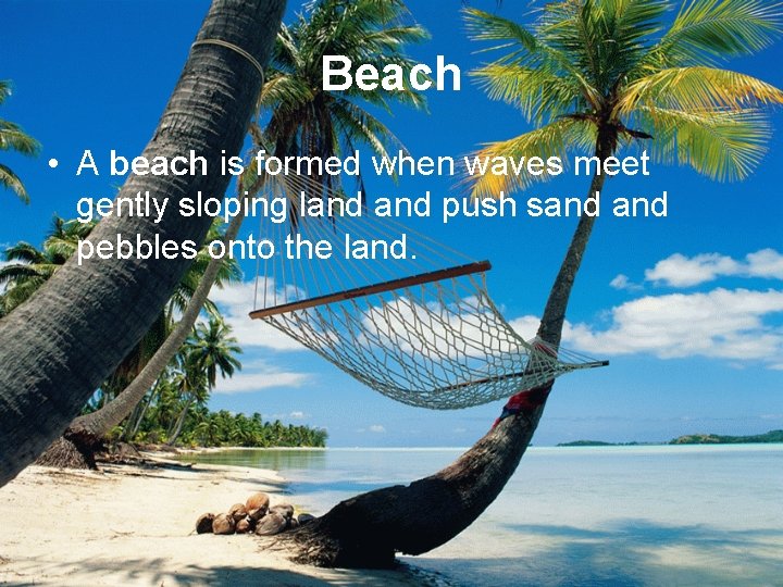
Beach • A beach is formed when waves meet gently sloping land push sand pebbles onto the land.

Butte • A butte is a flat-topped rock or hill formation with steep sides.
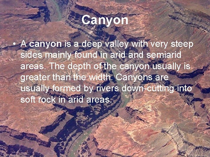
Canyon • A canyon is a deep valley with very steep sides mainly found in arid and semiarid areas. The depth of the canyon usually is greater than the width. Canyons are usually formed by rivers down-cutting into soft rock in arid areas.
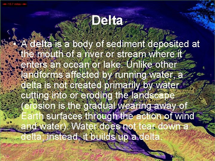
Delta • A delta is a body of sediment deposited at the mouth of a river or stream where it enters an ocean or lake. Unlike other landforms affected by running water, a delta is not created primarily by water cutting into or eroding the landscape (erosion is the gradual wearing away of Earth surfaces through the action of wind and water). Water does not tear down a delta; instead, it builds up a delta.
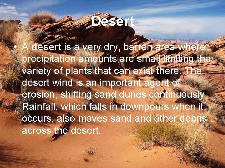
Desert • A desert is a very dry, barren area where precipitation amounts are small limiting the variety of plants that can exist there. The desert wind is an important agent of erosion, shifting sand dunes continuously. Rainfall, which falls in downpours when it occurs, also moves sand other debris across the desert.
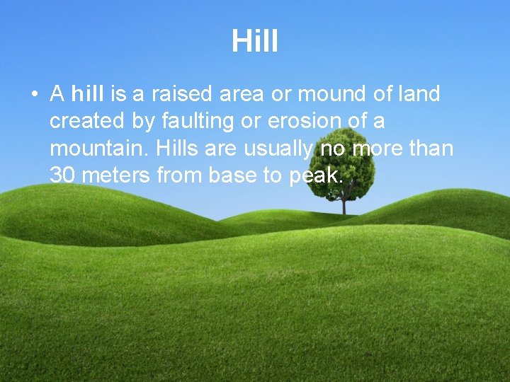
Hill • A hill is a raised area or mound of land created by faulting or erosion of a mountain. Hills are usually no more than 30 meters from base to peak.
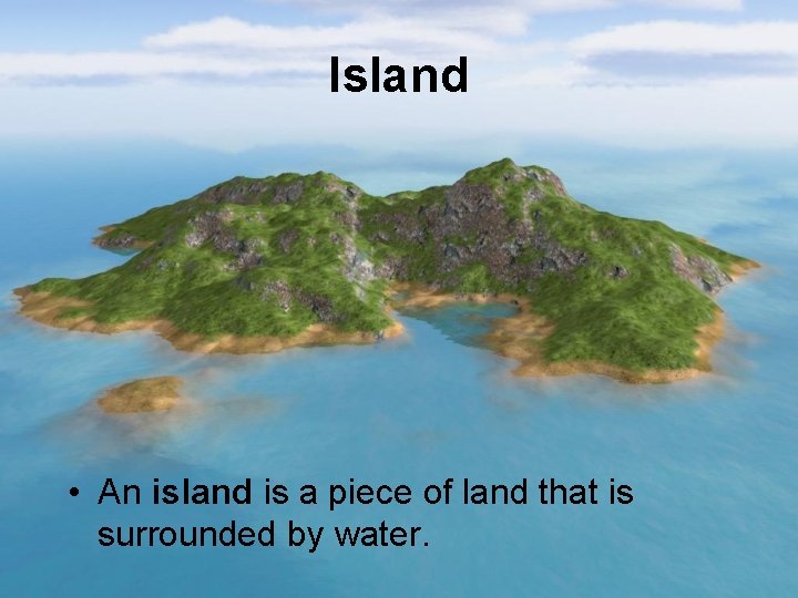
Island • An island is a piece of land that is surrounded by water.
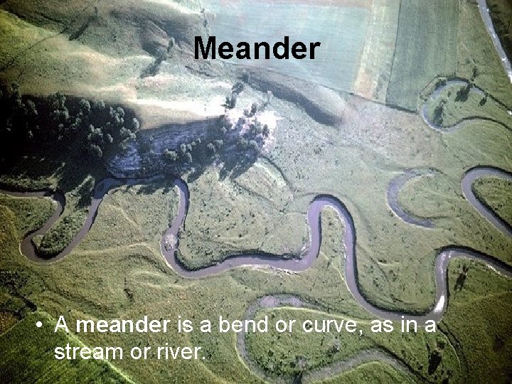
Meander • A meander is a bend or curve, as in a stream or river.
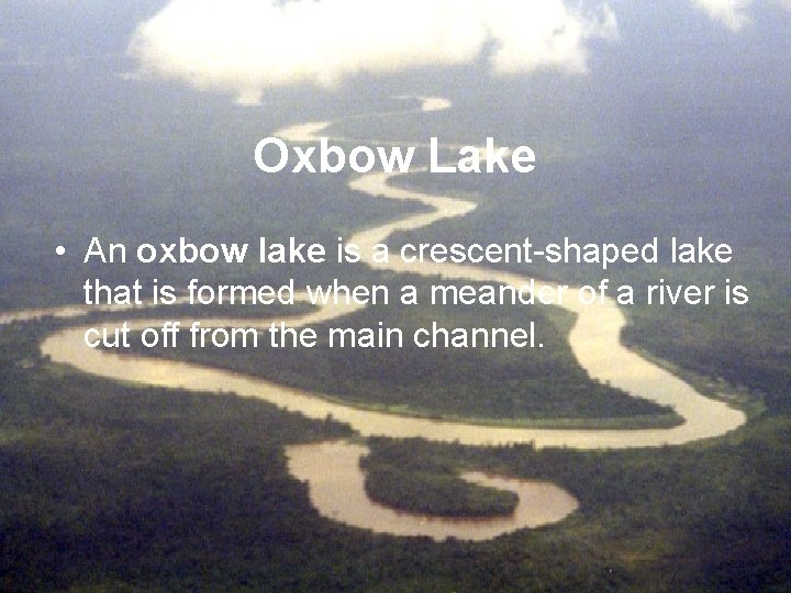
Oxbow Lake • An oxbow lake is a crescent-shaped lake that is formed when a meander of a river is cut off from the main channel.
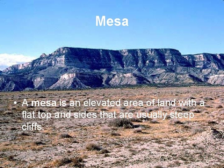
Mesa • A mesa is an elevated area of land with a flat top and sides that are usually steep cliffs.
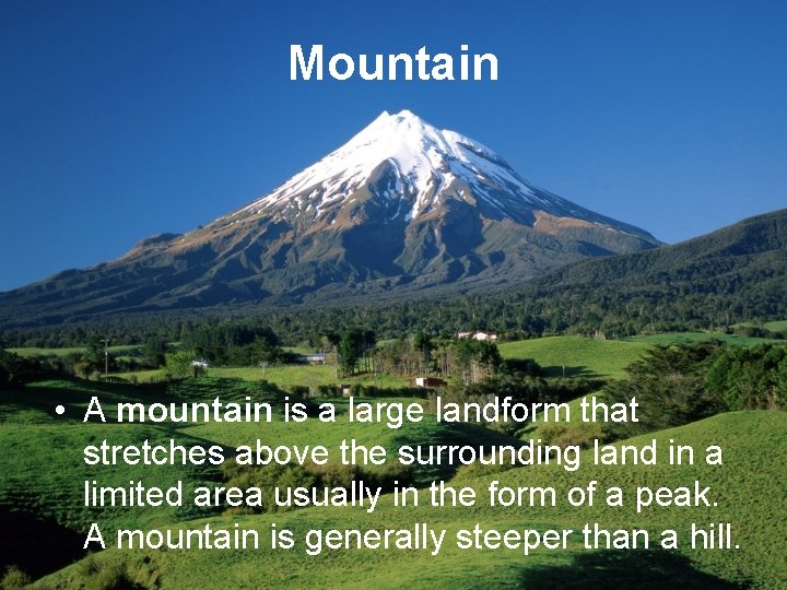
Mountain • A mountain is a large landform that stretches above the surrounding land in a limited area usually in the form of a peak. A mountain is generally steeper than a hill.
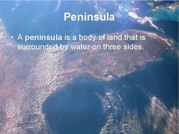
Peninsula • A peninsula is a body of land that is surrounded by water on three sides.
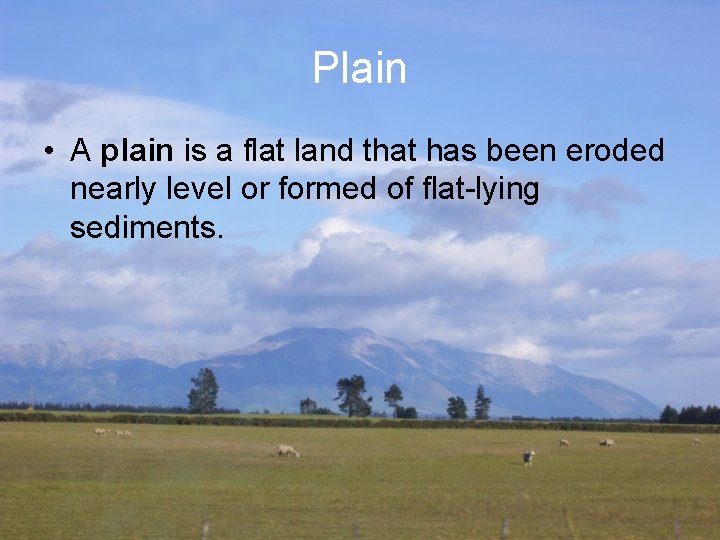
Plain • A plain is a flat land that has been eroded nearly level or formed of flat-lying sediments.
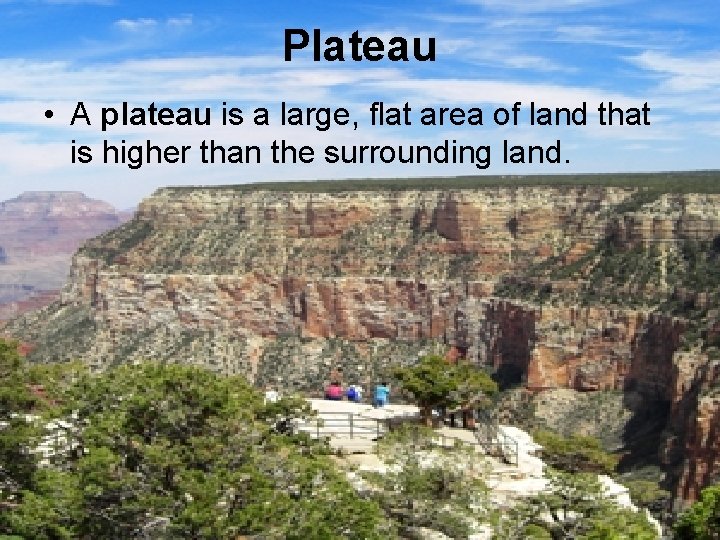
Plateau • A plateau is a large, flat area of land that is higher than the surrounding land.
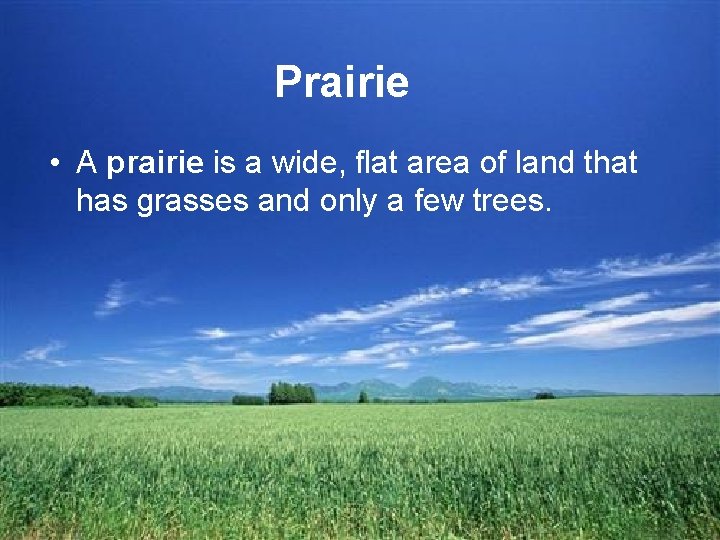
Prairie • A prairie is a wide, flat area of land that has grasses and only a few trees.
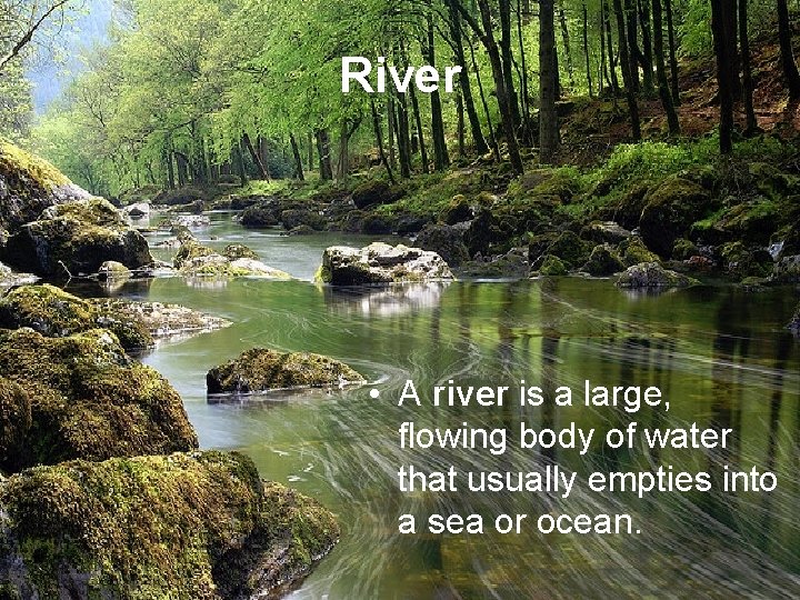
River • A river is a large, flowing body of water that usually empties into a sea or ocean.
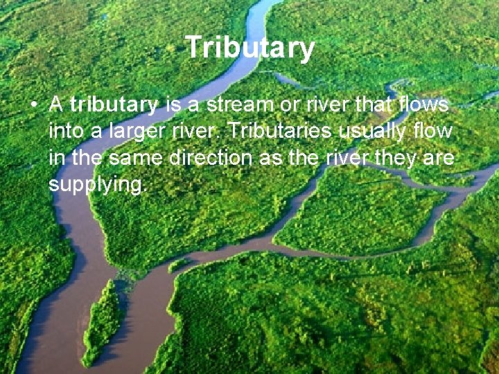
Tributary • A tributary is a stream or river that flows into a larger river. Tributaries usually flow in the same direction as the river they are supplying.
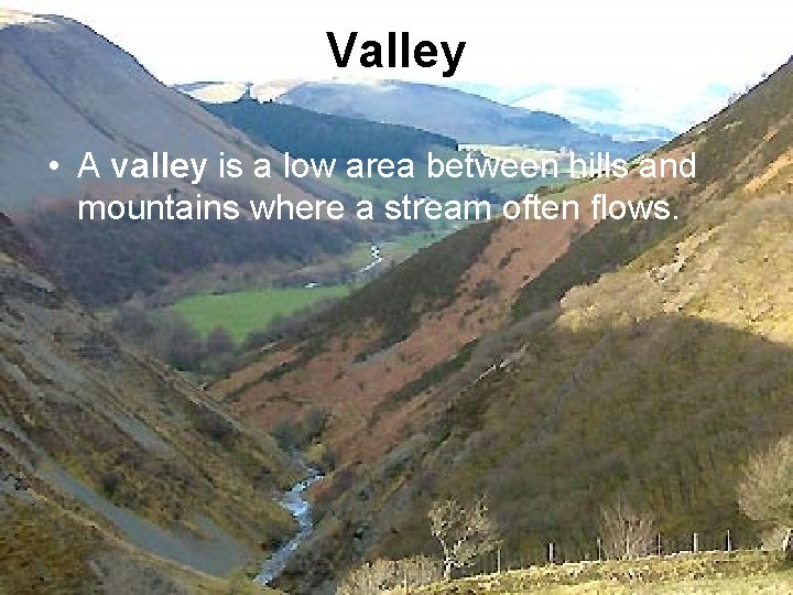
Valley • A valley is a low area between hills and mountains where a stream often flows.
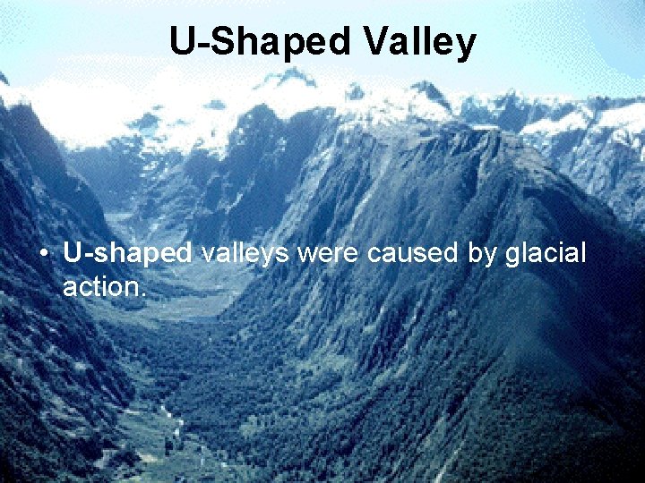
U-Shaped Valley • U-shaped valleys were caused by glacial action.
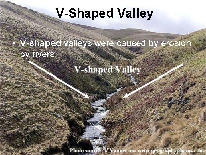
V-Shaped Valley • V-shaped valleys were caused by erosion by rivers.
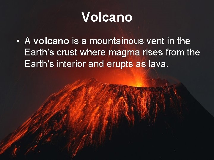
Volcano • A volcano is a mountainous vent in the Earth’s crust where magma rises from the Earth’s interior and erupts as lava.

- Slides: 25