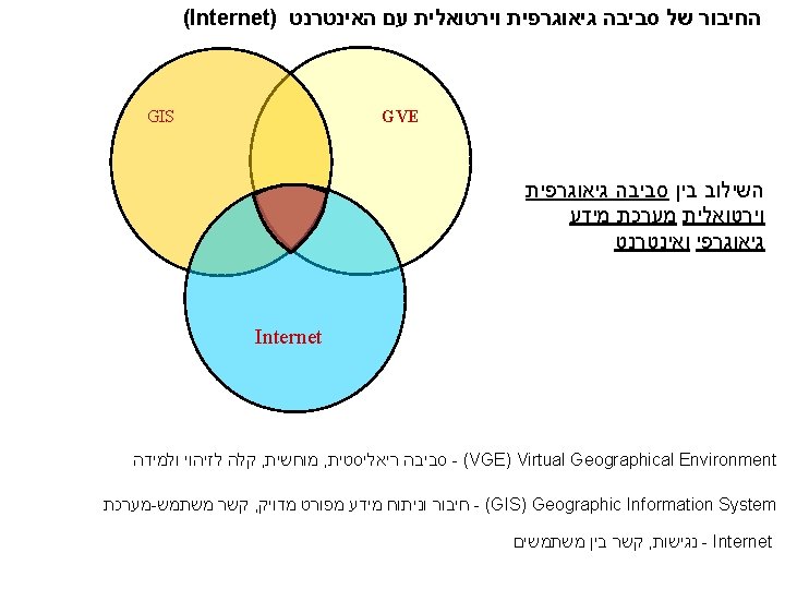
Labels Links GIS Layers Orthophoto DTM VE VR
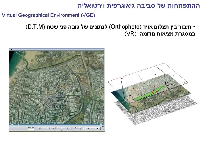

המבנה של סביבה גיאוגרפית וירטואלית Labels, Links • GIS Layers • Orthophoto • DTM • VE / VR simulators (e. g. Skyline, Multi. Gen )

כחלק ממערכות תומכות תכנון סביבה גיאוגרפית וירטואלית כאמצעי ויזואלי Source: Environmental simulation Laboratory, Tel Aviv University http: //www. eslab. tau. ac. il/

After: View - Before: From the building

כחלק ממערכות תומכות תכנון שיתוף ציבור בתכנון והקצאה של פארקים ציבוריים : לדוגמא דרגת נגישות לפארקים ציבוריים Using Virtual Environment for public participation http: //www. tau. ac. il/~omery/virtualenvironments. htm Omer, I. (2006) Evaluating accessibility using house-level data: a spatial equity perspective. Computers, Environment and Urban Systems, vol. 30 pp. 245 -274.

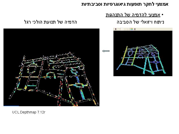
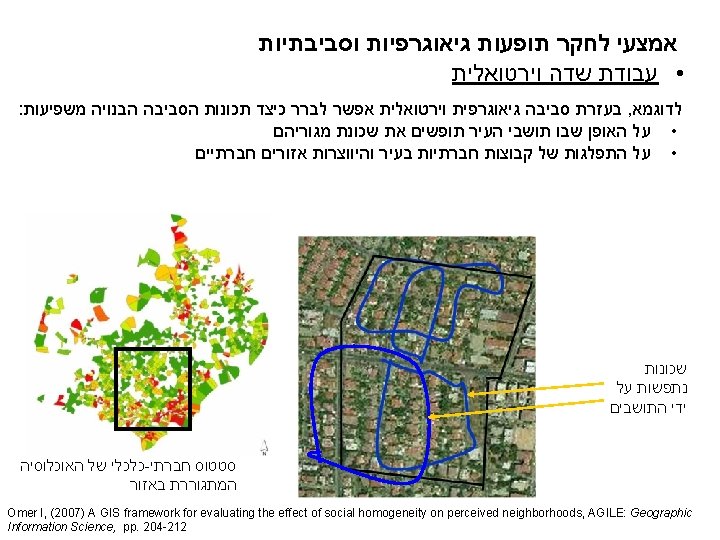
אמצעי לחקר תופעות גיאוגרפיות וסביבתיות • תנאי מעבדה לחקר התנהגות והתמצאות מרחבית בעזרת סביבה גיאוגרפית וירטואלית אפשר לבדוק לדוגמא את השפעת התנאים הויזואליים על ההתמצאות המרחבית 3 D VE of the imaginary small-scale urban area Routes Taken by Participants Shortest Route Omer I. , Goldblatt R. (2007) The Implications of Inter-Visibility Between Landmarks on Wayfinding Performance: an Investigation Using a Virtual Urban Environment, Computers, Environment and Urban Systems. vol 31 (5), pp. 520 -534

סביבה גיאוגרפית וירטואלית כאמצעי התמצאות ולמידה Google Earth http: //earth. google. com Microsoft Virtual Earth http: //maps. live. com/ Mobile Location Services and VE: Visual and verbal description based on GPS (Global Positioning System)

Google Earth
- Slides: 16