Khao laem national park covers the surrounding fertile


- Slides: 28
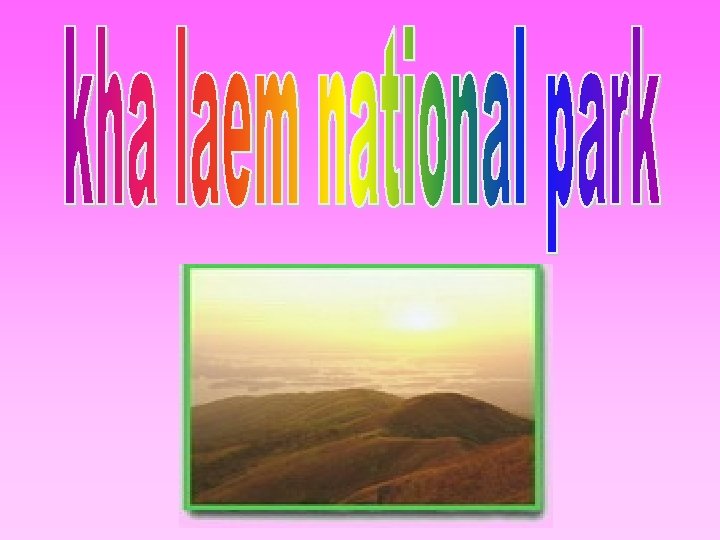
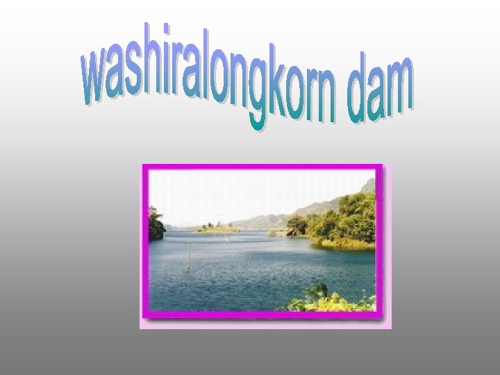
Khao laem national park covers the surrounding fertile forest of khao laem reservoir in sangkla buri and amphur thong pha phum, which suit for torism and recreation. Khao laem national park is one of the five national park that was setting to th honor the 60 year anniversary of king bhumibhol th on the 5 december 1987, with total area of 1497 km 2.
The landscape of the park is steeply limestone mountain run on northsouth axis. It is the water source of kwai noi river and other important river.
Chedi bo-ong is an ancient chedi built in Burmese's style. It is located on the hill surrounded by the swamp. Every year, on th the full moon night of the 4 lunar month, a lot of people come to worship this sacred place. Getting there, take a boat at ban ta pae, thong pha phum district to ban bo-ong
It is one beautiful waterfalls wish 15 m high. It is 47 km far from amphur thong pha phum.
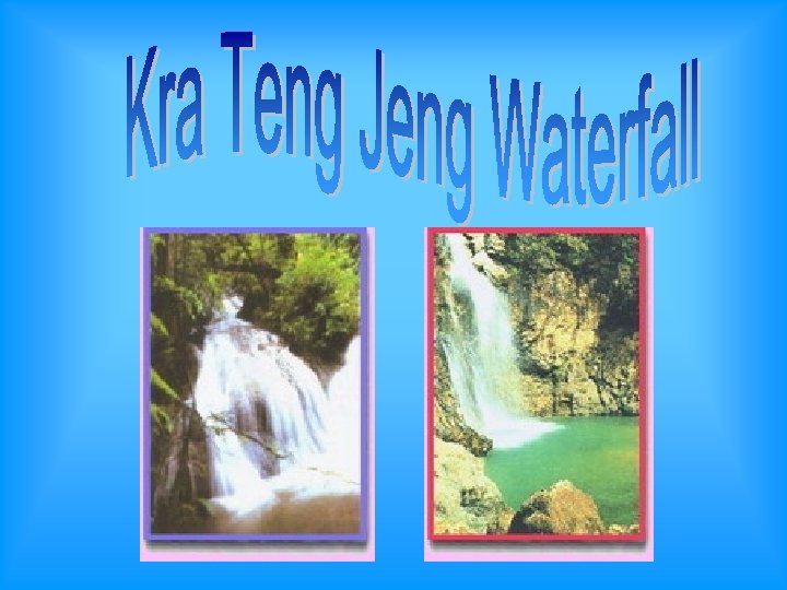
Kra Teng jeng Waterfall locates 4 kilometers far from the office of the national park. Traveler should ask for guiding from the official there because there is no exact way to get to the waterfall. The route passes the middle of productive forest which full of big, small and also climber trees.
There also many kinds of bird for birding, and has Kra Teng jeng Waterfall, which has water all the year round, cascade from limestone cliff 30 meters high in many small levels onto a pond below.
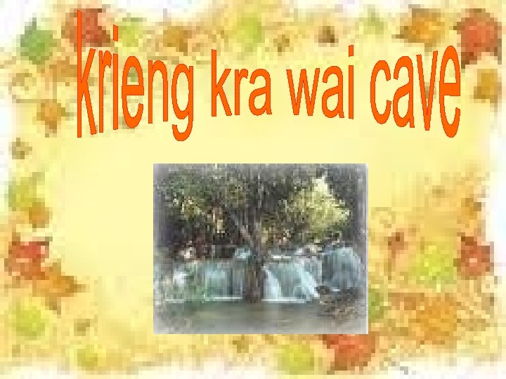
located in the norht of Ban Krieng Kra Wia 40 km. from Amphur Thong Pha Phum. The cave inner comprises of stalactite, stalagmite and stream, with 900 m deep.
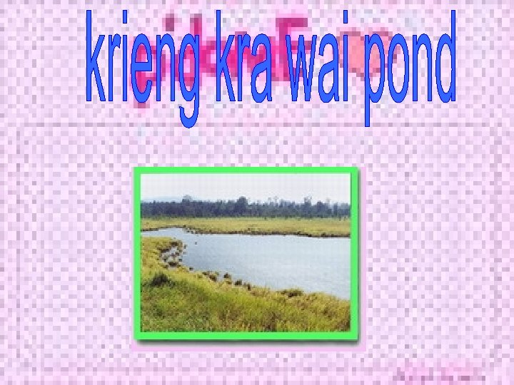
Krieng Kra wia Pond is a large pond, near the waterfall, which has many kinds of bird such as lesser whistling duck, water rail, common moorhen, and a kind of Carpitonidae etc. In the field around the pond have many birds such as coucal and bee eater etc. And in the forest around the pond also have birds such as woodpecker, barbet and great pied hornbill. So that makes this area interesting for birders.
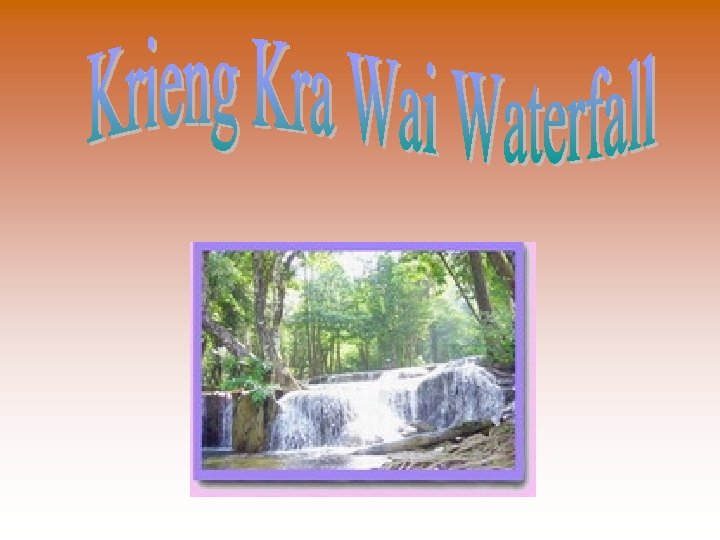
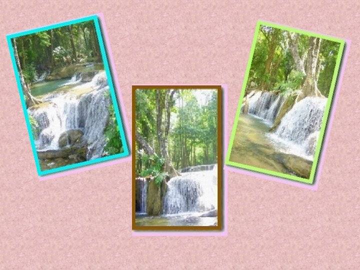
Krieng Kra wia Waterfall is a small one level limestone waterfall. Its height is about 5 m. that flows year-round. It is located on the side of Route Thong Phapoom-Sang Khla Buri, far from Thong Phapoom District about 32 km.
Mon Bridge is crossing between Sangkhla Buri and Mon villages, the 850 -metre-long wooden bridge across the Songkaria River is a famous viewpoint overlooking the merging point of the three rivers, Songkaria, Bikhli and Ranti.
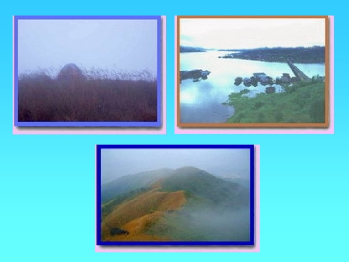
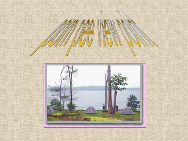
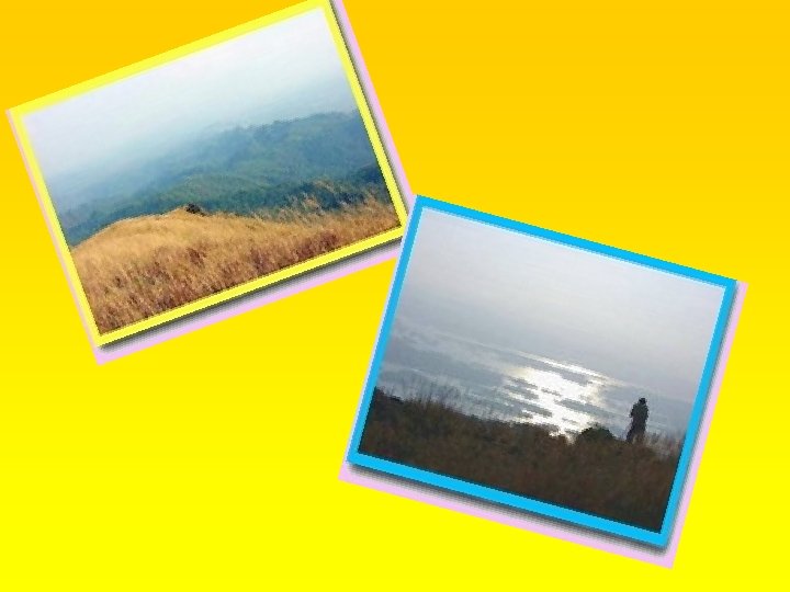
Pom Pee View Point, with the area connected with Washiralongkorn Dam, you can clearly see the fantastic scenery of the reservoir and also the beautiful sunset. It is suitable for camping and many activities such as bird-watching, sailing, swimming etc. Campsite is available. It is located far from the park's HQ about 2 km.
you can clearly see the fantastic scenery of the reservoir and also the beautiful sunset
Besides, there is another attraction recently discovered, that is: Khao Yai. It is the vast area which is suitable for camping. At this time, the park is developing it to be the 2 days 1 night adventurous nature trail in the future.
1. Jatuporn no 2 timon 2. Chutima no 19 kaewin 3. Kanokporn chankhud