KEY ISSUE 3 Why do Boundaries Cause Problems

KEY ISSUE 3 Why do Boundaries Cause Problems?

A state is separated from its neighbors by a BOUNDARY, an invisible line the marks the extent of a state’s territory.

Historically, FRONTIERS- zones where no state exercises complete political control - separated states, rather than defined boundaries. Undeveloped frontier

As every part of the Earth’s surface has become part of one state or another (except Antarctica), defined boundaries have become necessary.

There are two steps in establishing a border: DELINIATION is the process of drawing a boundary, and involves complex political maneuvering between involved parties who must agree. DEMARCATION is the process of physically establishing a boundary. Some are marked by high walls, while others are not physically defined at all.

BOUNDARY DELINIATION

BOUNDARY DEMARCATION

Demarcated Indian/Pakistani border – visible from space at night!

World’s Most Dangerous Borders

12: 36 Because both Pakistan and India are both nuclear nations, the border at Kashmir is often called the ‘most dangerous in the world’.

There are two types of borders: PHYSICAL and

3 Types of PHYSICAL boundaries: • DESERT • MOUNTAIN • WATER

DESERT BOUNDARIES can be effective because deserts are hard to cross and are relatively unchanging. Non-demarcated desert border between Mali and Mauritania in the Sahara
")
Non-demarcated desert boundaries in Northern Africa (Sahara)

Like deserts, MOUNTAINS provide effective boundaries because of their inaccessibility and unchanging character. Mountain border between Chile and Peru – lightly demarcate d

Mountain border between Spain and France through the PYRENEES Tiny microstate Andorra!

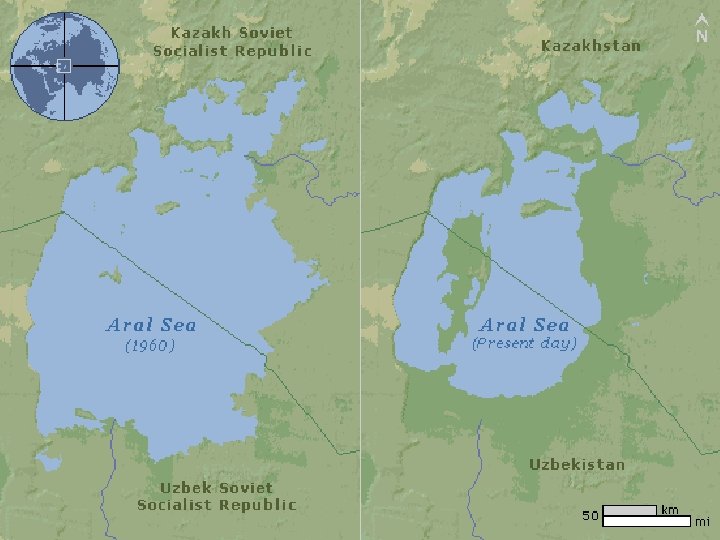
WATER BOUNDARIES can be more problematic than the other two. Though a body of water provides a good demarcation, they can change over time. US-Mexico border along the Rio Grande

Water boundaries in Eastern Africa

3 -way water boundary in South America

Two types of CULTURAL BOUNDARIES • Geometric • Ethnic
 straight lines drawn on a map. They do not coincide")
GEOMETRIC boundaries are (relatively) straight lines drawn on a map. They do not coincide with physical or cultural features. 1, 300 -mile geometric border between the US and Canada runs along the 49 th parallel.

Demarcatio n along USCanada geometric border

ETHNIC boundaries coincide with differences in ethnicity, especially language and religion. Many of Europe’s borders are ETHNIC, encompassing like-peoples (Nation-States).

The former ‘SSRs’ of the USSR were carefully drawn along ethnic
 competing powers. They")
Some regions are SHATTERBELTs, or areas caught between two (or more) competing powers. They often face conflict and fragmentation as both sides vie for power. Eastern Europe (Cold War) Indochina (Cold War) Eastern Ukraine (Russia v. West)

OCEAN BOUNDARIES are defined by the 1973 UN Convention on the Law of the Sea (UNCLOS)
 Contiguous Zone (12 miles from")
4 Primary Layers: Territorial Waters (12 miles from land) Contiguous Zone (12 miles from TW) Exclusive Economic Zone (200 miles from baseline) International Waters (>200 miles from baseline)

In each layer*Territorial Waters*- States may set own laws regulating passage; only innocent passage allowed Contiguous Zone- States can enforce certain laws (pollution, immigration) but cannot limit navigation otherwise EEZ- State has SOLE right to exploit natural resources within this area International Waters- no state control
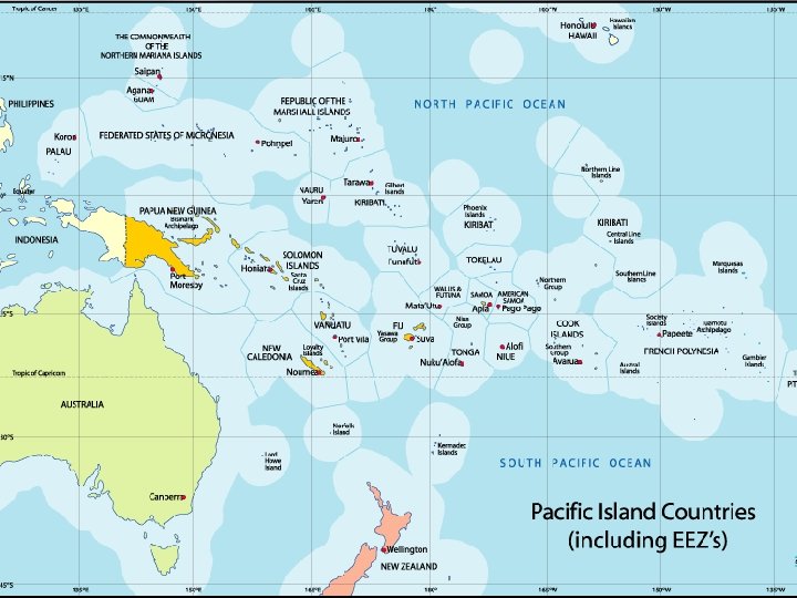

China claims its EEZ reaches hundreds of miles to the South, encompassing the Spratly Islands- a claim disputed by neighbors

To protect these interests, China has turned tiny Spratly reefs into full-scale military bases

Every ship must be registered to a state, but some states make it very easy & cheap to flag vessels from any country (no questions, low taxes, low standards) These are called FLAGS OF

CLASSIFYING SHAPES OF STATES

�The Shape of a State- �Affects the potential for communication and conflict with neighbors. �Impacts access to resources. �Influences the ease/difficulty of internal administration, and can affect social unity.

COMPACT States - EFFICIENT Distance from center of state to boundary does not vary significantly. Capital ideally placed at center. Most stable.

ELONGATED states – POTENTIAL ISOLATION Long and narrow shape; may suffer from poor internal communications.

PRORUPTED states Otherwise compact state with a large projecting extension. Created for two principal reasons. Provide a state with access to a resource; or to create a buffer between competing states.

PERFORATED states A state that completely surrounds another one. Encompassed state is dependent on the surrounding state for interactions beyond its boundary. San Marino (Microstate ) Inside of Italy

FRAGMENTED states PROBLEMATIC Includes several discontinuous pieces of territory. Two kinds: - separated by water -separated by an intervening state.

GOVERNING STATES DEMOCRACY, AUTOCRACY, and ANOCRACY

A DEMOCRACY is a country in which citizens elect leaders and can run for office. An AUTOCRACY is a country that is run according to the interests of the ruler/ruling class rather than the people. An ANOCRACY is a country that is not fully democratic or fully autocratic, but a mix of the two.

The final category is a FAILED STATE. This is a state with a very weak or nonexistent central government, incapable of ensuring the rule of law. May be product of
 – Now add Syria to Failed")
WORLD GOVERNMENT TYPES (2013) – Now add Syria to Failed

Democracies and autocracies differ in three essential elements: -Selection of Leaders -Citizen Participation -Checks and Balances

In general, the world has become MORE DEMOCRATIC since the mid-19 th century.

Recent example: THE ARAB SPRING In 2010 -11, citizens in countries throughout the Arab world rose up against their autocratic leaders. Long-time rulers were deposed from power in EGYPT, LIBYA, TUNISIA, and YEMEN.
")
ELECTORAL GEOGRAPHY Legislative Districts in CT (2002)

When the Census is held every 10 years, every Legislative District in the United States is redrawn to reflect population changes. This is called REDISTRICTING. US CONGRESSIONAL DISTRICTS

The PARTY in control of each state legislature controls redistricting. If they use this power to give themselves an electoral advantage, this is called GERRYMANDERING.

GERRYMANDERING leads to oddlyshaped campaign districts, as ruling parties divide opposition voters to make them less powerful. North Carolina congressional map

three types of There are GERRYMANDERING.
")
Wasted vote spreads opposition voters across many districts Democratic gerrymandering (more blue districts)
")
Excess vote concentrates opposition supported into a few districts Republican gerrymandering (more red districts)

Stacked vote links distant areas of like-minded voters through oddly shaped districts Republican gerrymandering (more red districts)

America’s most GERRY -MANDERED districts
- Slides: 57