
KANAWHA COUNTY GIS Presented by John Barth and
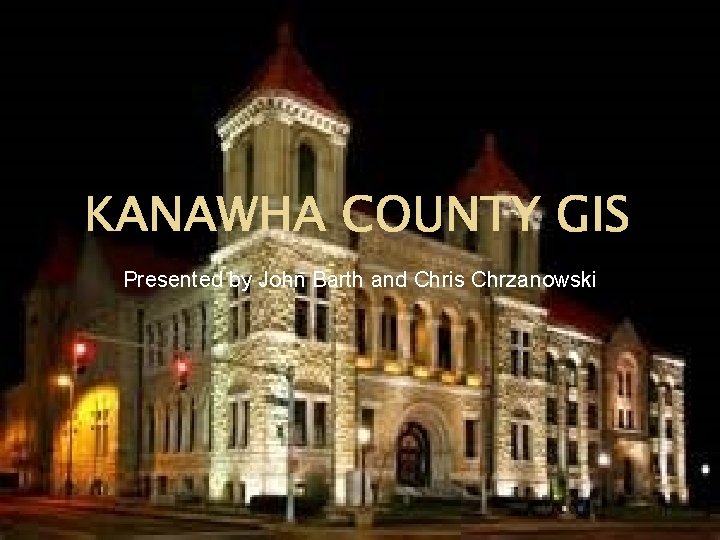
KANAWHA COUNTY GIS Presented by John Barth and Chris Chrzanowski
Meet Our GIS Department � � � John Barth- GIS/Mapping Supervisor Chris Chrzanowski- GIS Coordinator Randy Campbell- GIS Technician Josh Summers- GIS Technician Kenneth Weese- GIS Technician
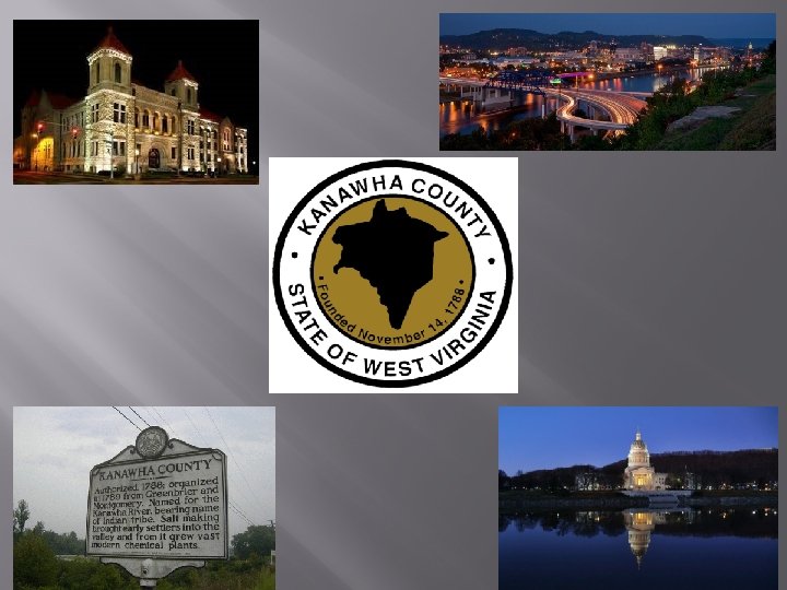
Facts About Kanawha County � � � Kanawha County was founded Nov 14, 1788 4 th largest county in West Virginia County covers approximately 911 square miles Land covers approximately 902 square miles Land mass includes 577, 288 acres There approximately 200, 000 people in Kanawha County
About Our Tax Maps � � � Kanawha County maintains and updates approximately 140, 000 parcels We update and maintain approximately 1400 tax maps currently on Mylar semi annually We process approximately 500 splits and consolidations per tax year
About Our GIS � � Currently using Autodesk Auto. CAD 2013 for mass parcel generation Currently using ESRI for database maintenance Currently generating digital tax maps using Auto. CAD 2013 Currently using Arc Publisher to generate PMF files for interoffice use
Where Is Our GIS Going? � � Moving away from Auto. CAD for mass parcel generation Migrating towards using ESRI parcel fabric to generate new parcels Moving towards creating digital tax maps using ESRI Moving away from updating the Mylar tax maps
Who Do We Share Information With? � The Kanawha County Assessors Office is currently in a data sharing agreement with many different organizations including: �Kanawha County Commission �Kanawha County Planning and Zoning �Kanawha County Voters Registration �Kanawha County Department of Homeland Security
Who Do We Share Information With? �Kanawha County Metro 911 �City of Charleston �Local Surveyors �Public Utilities �Taxpayers
- Slides: 9