
Journey to Bottom of the Ocean Continent Asia
Journey to Bottom of the Ocean
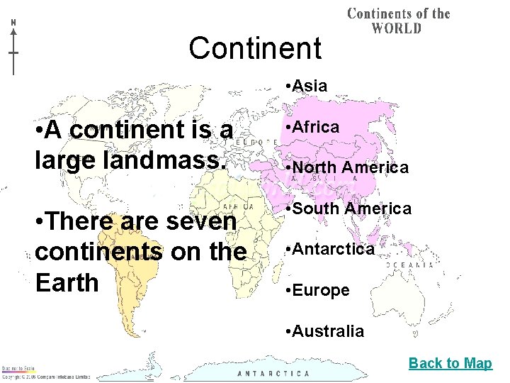
Continent • Asia • A continent is a large landmass. • Africa • There are seven continents on the Earth • South America • North America • Antarctica • Europe • Australia Back to Map
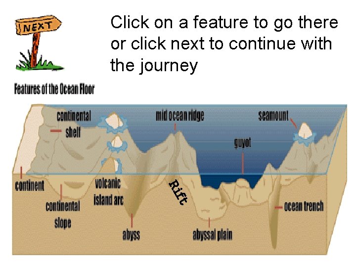
Click on a feature to go there or click next to continue with the journey ft Ri
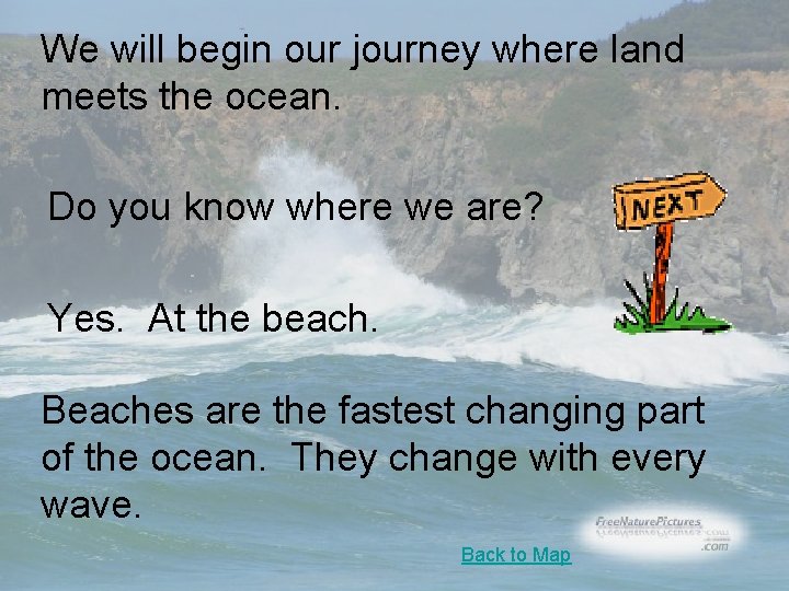
We will begin our journey where land meets the ocean. Do you know where we are? Yes. At the beach. Beaches are the fastest changing part of the ocean. They change with every wave. Back to Map
Continental Shelf The edge of the continents slope down from the shore into the ocean. The part of the continent located under water is known as the Continental Shelf. The continental shelf is rich in resources such as marine life, minerals and oil. For this reason, countries around the world claim the bordering continental shelf as part of their territories. There are several parts to the continental shelf. continental break continental slope continental rise Back to Map
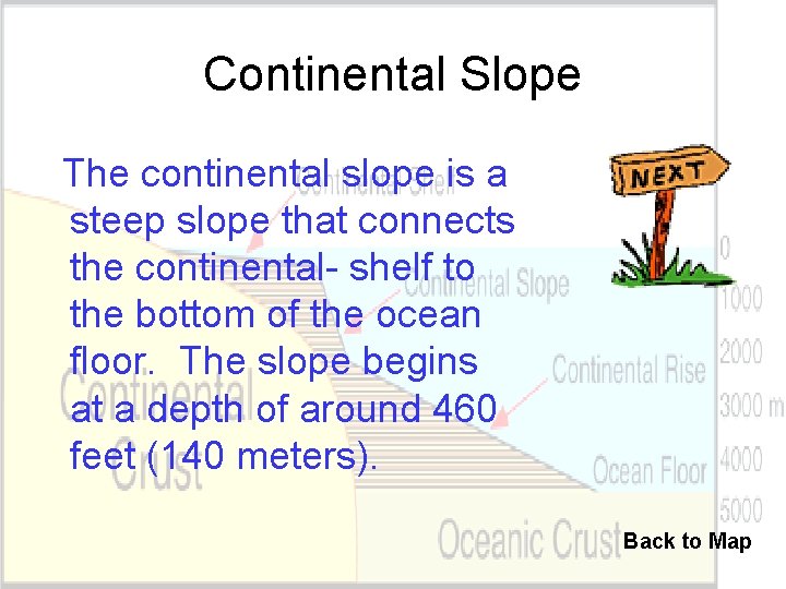
Continental Slope The continental slope is a steep slope that connects the continental- shelf to the bottom of the ocean floor. The slope begins at a depth of around 460 feet (140 meters). Back to Map
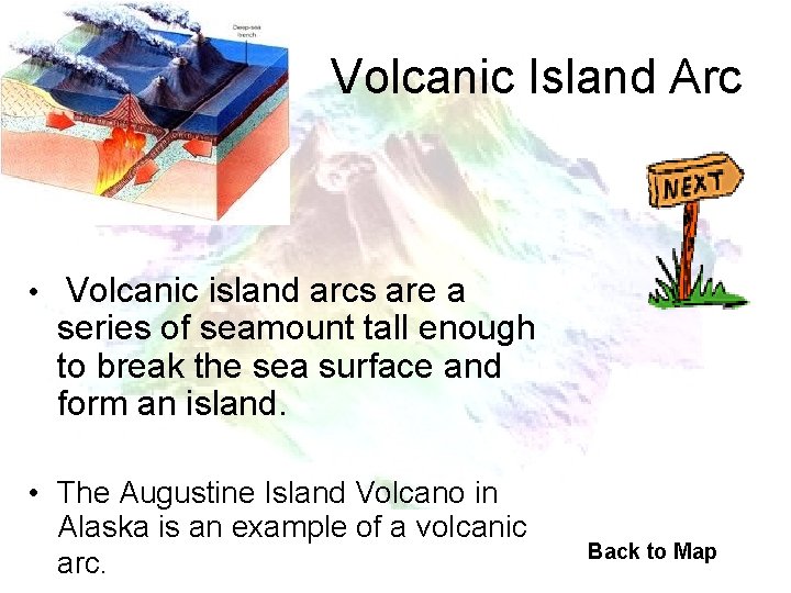
Volcanic Island Arc • Volcanic island arcs are a series of seamount tall enough to break the sea surface and form an island. • The Augustine Island Volcano in Alaska is an example of a volcanic arc. Back to Map
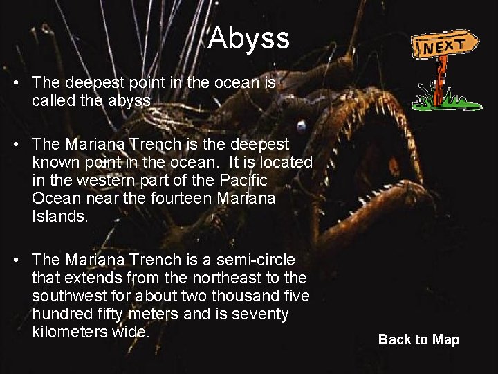
Abyss • The deepest point in the ocean is called the abyss • The Mariana Trench is the deepest known point in the ocean. It is located in the western part of the Pacific Ocean near the fourteen Mariana Islands. • The Mariana Trench is a semi-circle that extends from the northeast to the southwest for about two thousand five hundred fifty meters and is seventy kilometers wide. Back to Map
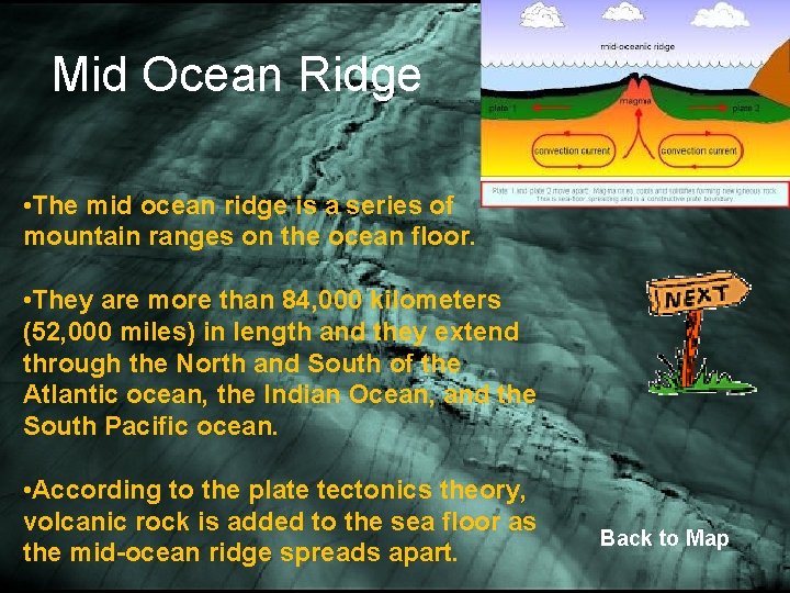
Mid Ocean Ridge • The mid ocean ridge is a series of mountain ranges on the ocean floor. • They are more than 84, 000 kilometers (52, 000 miles) in length and they extend through the North and South of the Atlantic ocean, the Indian Ocean, and the South Pacific ocean. • According to the plate tectonics theory, volcanic rock is added to the sea floor as the mid-ocean ridge spreads apart. Back to Map
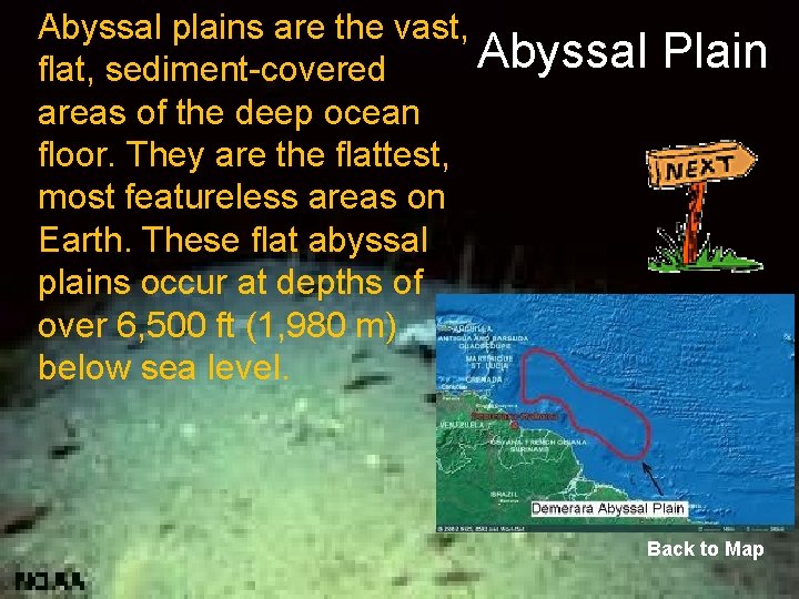
Abyssal plains are the vast, Abyssal Plain flat, sediment-covered areas of the deep ocean floor. They are the flattest, most featureless areas on Earth. These flat abyssal plains occur at depths of over 6, 500 ft (1, 980 m) below sea level. Back to Map
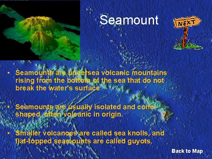
Seamount • Seamounts are undersea volcanic mountains rising from the bottom of the sea that do not break the water's surface • Seamounts are usually isolated and coneshaped, often volcanic in origin. • Smaller volcanoes are called sea knolls, and flat-topped seamounts are called guyots. Back to Map

Guyot • Guyots are seamounts that have built above sea level. Over time erosion by waves destroyed the top of the seamount resulting in a flattened shape Seamount rises above water Erosion by waves flattens the top of the mount The seamount becomes submerged to form a Guyot Back to Map
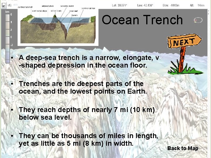
Ocean Trench • A deep-sea trench is a narrow, elongate, v -shaped depression in the ocean floor. • Trenches are the deepest parts of the ocean, and the lowest points on Earth. • They reach depths of nearly 7 mi (10 km) below sea level. • They can be thousands of miles in length, yet as little as 5 mi (8 km) in width. Back to Map
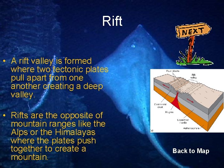
Rift • A rift valley is formed where two tectonic plates pull apart from one another creating a deep valley. • Rifts are the opposite of mountain ranges like the Alps or the Himalayas where the plates push together to create a mountain. Back to Map
Compare continental and oceanic landforms Continental landform Oceanic landform Canyon Trench Valley Rift Volcanic mountain Seamount Mountain Range Mid-ocean ridge Low hills or plains Ocean basin (abyssal plains)
Sources • http: //www. utdallas. edu/~pujana/oceans/guyot. html • http: //www. enotes. com/earth-science/abyssal-plains • http: //www. answers. com • http: //images. google. com/images? um=1&hl=en&rlz=1 T 4 ADBF_en. US 279 US 280&q=ocean+trench+pictures • http: //oceanexplorer. noaa. gov/explorations/02 galapagos/logs/jun 04. ht ml Back to Map
- Slides: 16