
Introduction to Networks Illustrations in South Florida Reading
- Slides: 12
Introduction to Networks Illustrations in South Florida Reading: Chapter 3 of Arc Hydro book
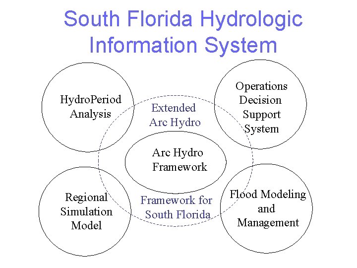
South Florida Hydrologic Information System Hydro. Period Analysis Extended Arc Hydro Operations Decision Support System Arc Hydro Framework Regional Simulation Model Framework for South Florida Flood Modeling and Management
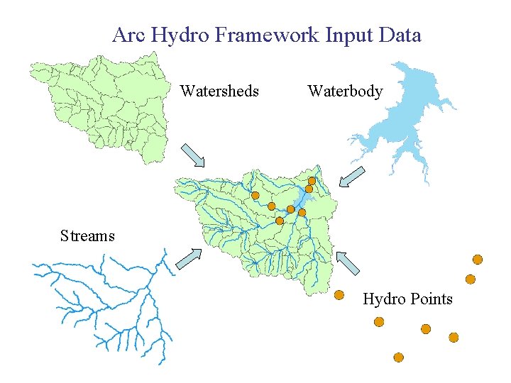
Arc Hydro Framework Input Data Watersheds Waterbody Streams Hydro Points
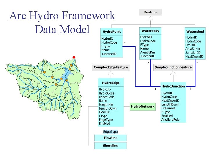
Arc Hydro Framework Data Model
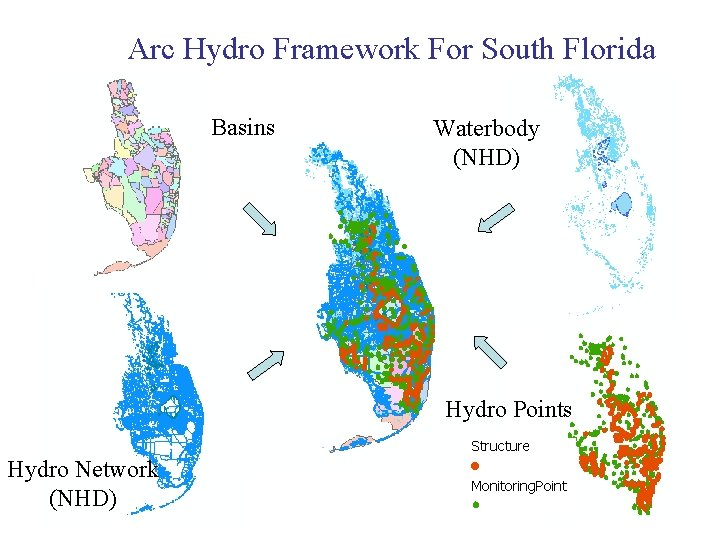
Arc Hydro Framework For South Florida Basins Waterbody (NHD) Hydro Points Hydro Network (NHD)
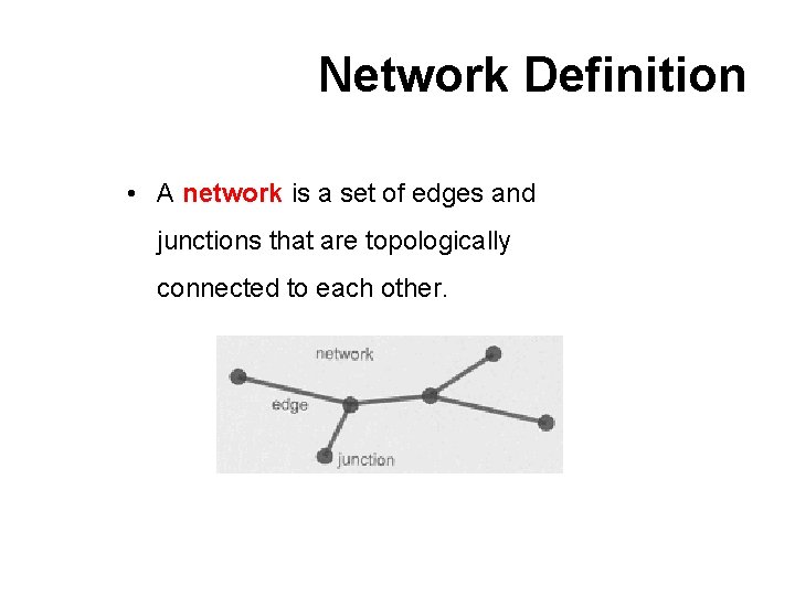
Network Definition • A network is a set of edges and junctions that are topologically connected to each other.
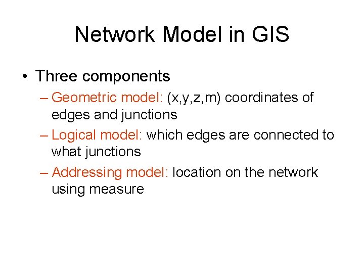
Network Model in GIS • Three components – Geometric model: (x, y, z, m) coordinates of edges and junctions – Logical model: which edges are connected to what junctions – Addressing model: location on the network using measure
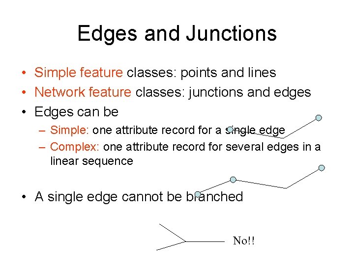
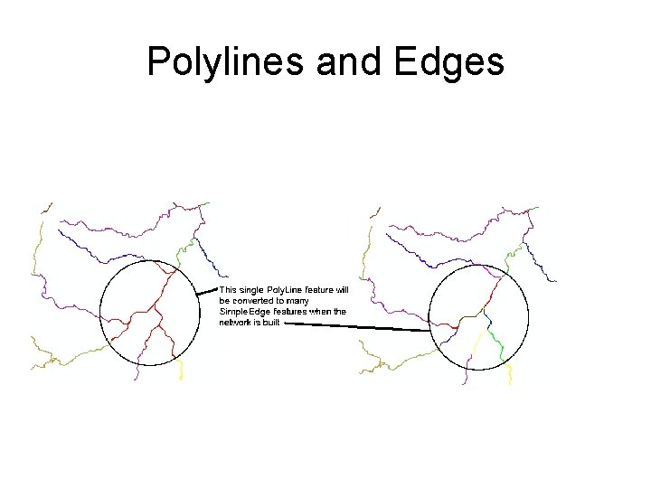
Edges and Junctions • Simple feature classes: points and lines • Network feature classes: junctions and edges • Edges can be – Simple: one attribute record for a single edge – Complex: one attribute record for several edges in a linear sequence • A single edge cannot be branched No!!
Polylines and Edges
Junctions • Junctions exist at all points where edges join – If necessary they are added during network building (generic junctions) • Junctions can be placed on the interior of an edge e. g. stream gage • Any number of point feature classes can be built into junctions on a single network
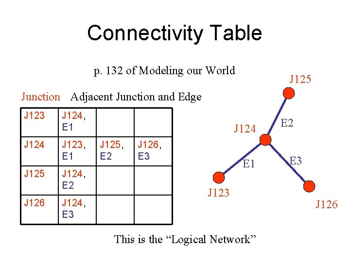
Connectivity Table p. 132 of Modeling our World J 125 Junction Adjacent Junction and Edge J 123 J 124 J 125 J 126 J 124, E 1 J 123, E 1 J 124, E 2 J 124, E 3 J 124 J 125, E 2 J 126, E 3 E 1 J 123 This is the “Logical Network” E 2 E 3 J 126
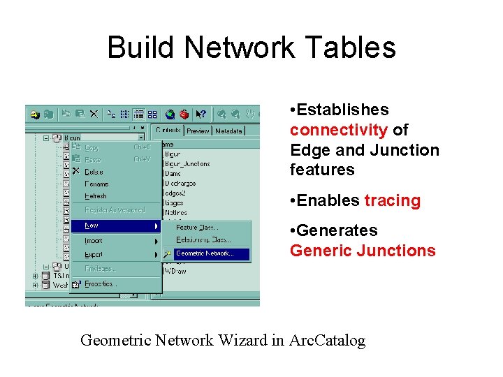
Build Network Tables • Establishes connectivity of Edge and Junction features • Enables tracing • Generates Generic Junctions Geometric Network Wizard in Arc. Catalog