Introduction to Geographic Information Systems GIS ESRM 250


- Slides: 12

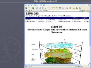
Introduction to Geographic Information Systems (GIS) ESRM 250/ SEFS 520 Data Management

▫ Create a new geodatabase ▫ Import/export three vector files & raster files ▫ Pack all files & map document into one package

Geodatabase • A specific data organization that holds different spatial information and attribute tables together

Create A File Geodatabase • Data Management Exercises

Import to Geodatabase • Right click on “ANY” geodatabase • Choose “Import” Choose which file to import Feature Class: Three vector files (coverage file need to choose shape; e. g, polygon or arc) Raster Dataset: Raster Files

Three File Types of Vector Data in Arc. GIS Coverage Shapefile Feature Class Coverage is a package layer that composed of polygons, arcs, nodes, label points, and tics. It is the oldest file type in the Arc. GIS. It looks like a “folder” in Windows. Shapefile is used mainly in Arc. View 3. x and Arc. GIS. It is a “file” based structure. One shapefile represents features that are either point, line, or polygon. Feature class is stored in the Geodatabase. It is a “data sheet” structure. Each feature class can not be viewed through windows.

Exporting / Moving Various Files • Changing file type ▫ Right click on target layer Export Choose format Feature Class to… Raster to… Shapefile to… Coverage shape to…

Another way to export coverage To Feature Class To Shapefile

Direct Copy & Paste • Available files ▫ Shapefile to shapefile ▫ Raster layer to raster layers • Workflow

Package all layers and. mxdon-the-go • Another way to pack all files and map document together. • Do not have to repair file paths or do the drive substitution for same task • Stored all symbology setting of all layers • Only one file (executable) and double clicks to open the whole package

Workflow of package maps • Having/preparing a working map document arcmap_basics 2. mxd, saved the map document • Add “Description” in: 1. EVERY Layer properties 2. EVERY Data Frame properties 3. Map Document properties • Save this map document again • Click “Package Map” tool from Arc Toolbox > Data Management > Package >

Data Management Lab Exercises
 Esrm cad download
 Esrm national grid
 Esrm cad
 Esrm cad
 Esrm software
 Introduction to information systems 6th edition
 White-collar workers คือ
 Introduction to information systems 3rd edition
 Introduction to management information systems 5th edition
 User productivity system
 Introduction to accounting information system
 Introduction to information systems 3rd edition
 Introduction to information systems 3rd edition
