Institut fr Meteorologie und Klimaforschung Bereich Atmosphrische Umweltforschung
, Garmisch-Partenkirchen Lidar Sounding of Free-tropospheric")
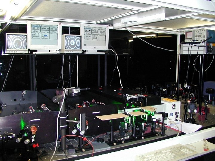
Institut für Meteorologie und Klimaforschung, Bereich Atmosphärische Umweltforschung (IMK-IFU), Garmisch-Partenkirchen Lidar Sounding of Free-tropospheric Water Vapour at a High-altitude Station Thomas Trickl, Hannes Vogelmann Features: High-power differential-absorption lidar Range: 3 - 12 km (SFH outside the PBL) Vertical resolution: 50 -250 m Accuracy: 5 % under average conditions Wide spectral tuning range Good overlap with Zugspitze FTIR (2962 m) Other instrumentation: 2 high-spectral-resolution FTIRs (Garmisch, Zugspitze), GPS, research aeroplane, in-situ instrumentation NDSC (NDACC) primary site 2675 m a. s. l.

Vertical range of ground-based DIAL measurements

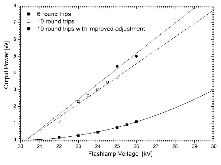
History of the narrow-band tunable pulsed lasers Dye lasers: 1975: Wallenstein, Hänsch: 1976: Blit, Ganiel, Treves: 1987: Cromwell, Trickl, Kung, Lee: E = 0. 5 m. J, Δt = 10 ns, Δ = 85 MHz (460 nm) E = 50 m. J, Δt = 0. 5 ms, Δ = 30 MHz (585 nm) E = 130 m. J, Δt = 10 ns, Δ = 52 MHz (563 nm) 1997: Eikema, Ubachs, Vassen, Hogervorst: E = 220 m. J, Δt = 6. 5 ns, Δ = 90 MHz (585 nm) Solid-state lasers: 1996: Grützmacher, Steiger: Trickl, Vogelmann: 265 m. J at 729 nm E = 700 m. J, Δ = 100 MHz (800 nm) ? ? ?

Durch Minimum an

June 2004: Start of lidar measurements Noon! ETH Zürich

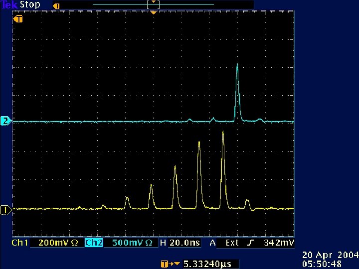
Intrusion November 11, 2004 ETH Zürich Zugspitze

Validation, October 2005 Radiosonde: Meteorological Institute, University of Munich, launched in the valley Conclusions: 1. An order-of-magnitude increase in S/N is possible. 2. The planned range up to at least 12 km looks realistic.
- Slides: 11