IMPROVEMENT OF THE FLOOD FORECASTING AND WARNING SYSTEM


- Slides: 31

IMPROVEMENT OF THE FLOOD FORECASTING AND WARNING SYSTEM OF BANGLADESH BY ADVANCED TECHNOLOGICAL DEVELOPMENT Mohammad Khaled Akhtar & Slobodan P. Simonovic University of Western Ontario, Canada

Outline üIntroduction üBackground üObjective üFFWC and it’s activity üFuture application & improvement üConclusion/Big picture

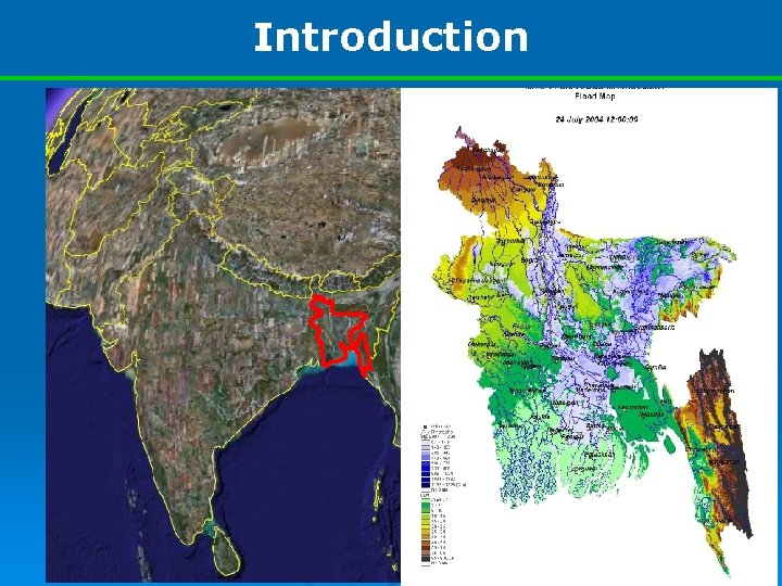
Introduction South Asia Land Area: 1, 44, 000 sq. Km South-West : Myanmar South : Bay of Bengal Rest of the part: India

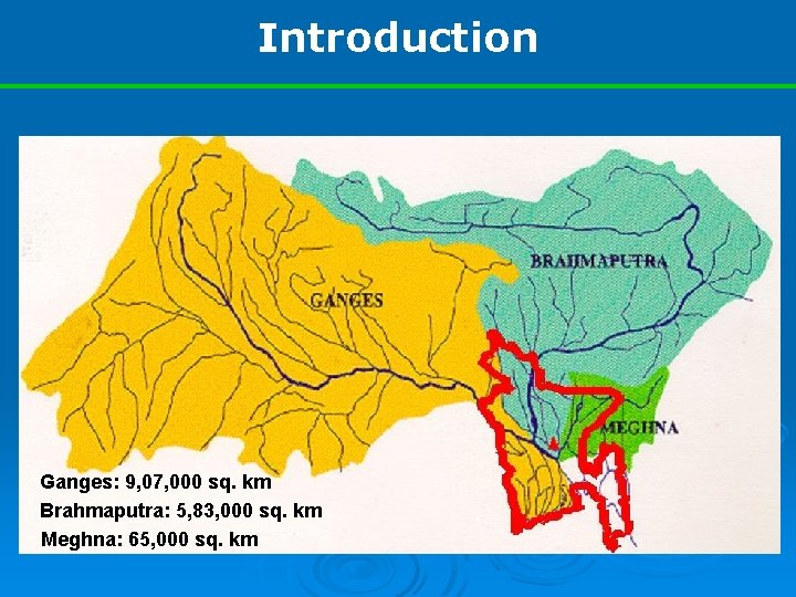
Introduction Ganges: 9, 07, 000 sq. km Brahmaputra: 5, 83, 000 sq. km Meghna: 65, 000 sq. km

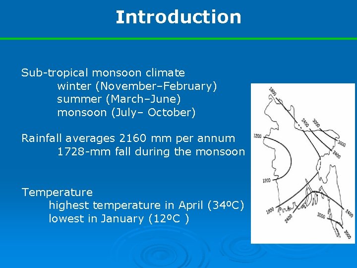
Introduction Sub-tropical monsoon climate winter (November–February) summer (March–June) monsoon (July– October) Rainfall averages 2160 mm per annum 1728 -mm fall during the monsoon Temperature highest temperature in April (34ºC) lowest in January (12ºC )

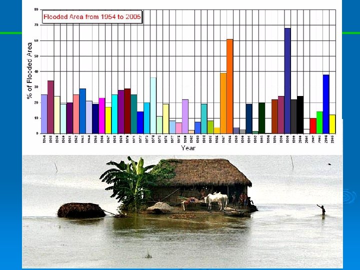
Background o Flooding is an annual recurrent event in Bangladesh o Total protection against flood is neither possible nor feasible o Extended lead time with reasonable accuracy could alleviate the problem to some extent

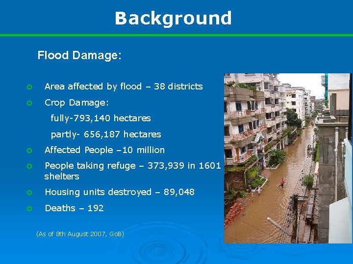
Background Flood Damage: o Area affected by flood – 38 districts o Crop Damage: fully-793, 140 hectares partly- 656, 187 hectares o Affected People – 10 million o People taking refuge – 373, 939 in 1601 shelters o Housing units destroyed – 89, 048 o Deaths – 192 (As of 8 th August 2007, Go. B)

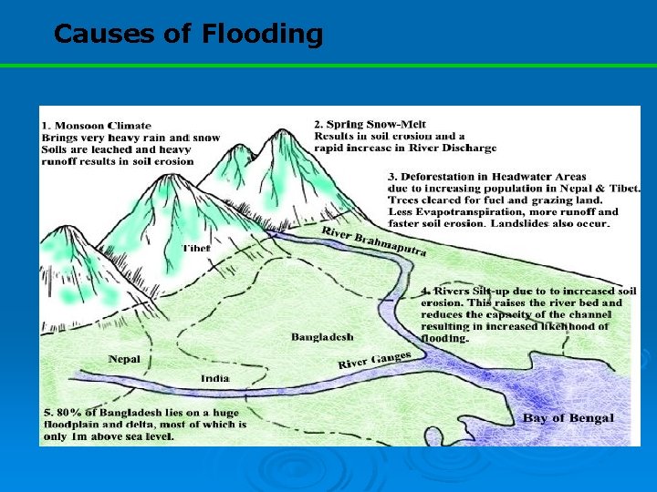
Causes of Flooding

Objectives This paper aims to discuss: o current flood forecasting activities o techniques to improve the lead time & accuracy

FFWC and it’s activity FFWC operates model for the estimation of water levels at some selected stations The model consists of two separate but closely integrated components: o rainfall-runoff model o hydrodynamic model

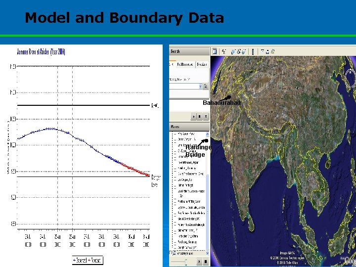
Model and Boundary Data Bahadurabad Hardinge Bridge

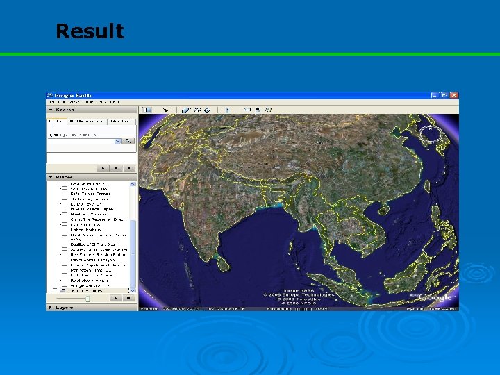
Result

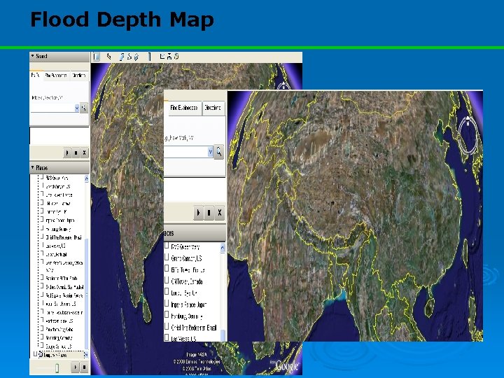
Flood Depth Map

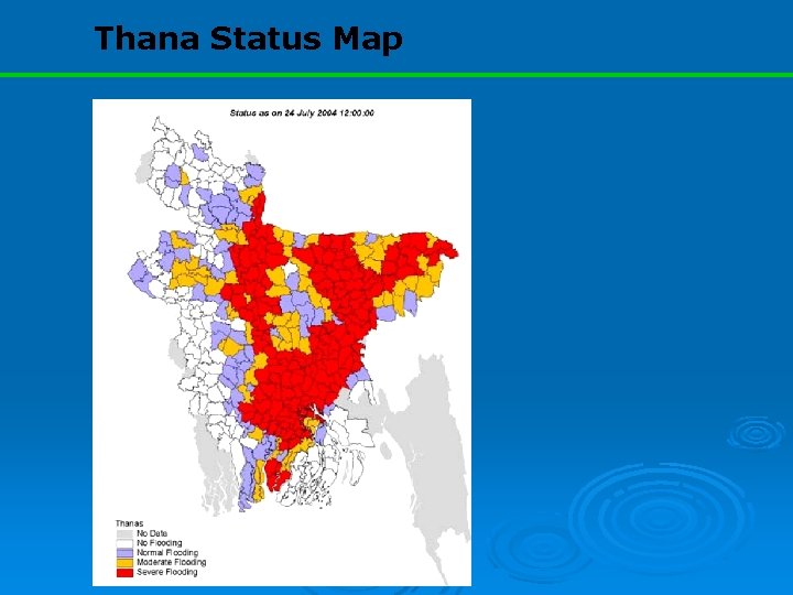
Thana Status Map

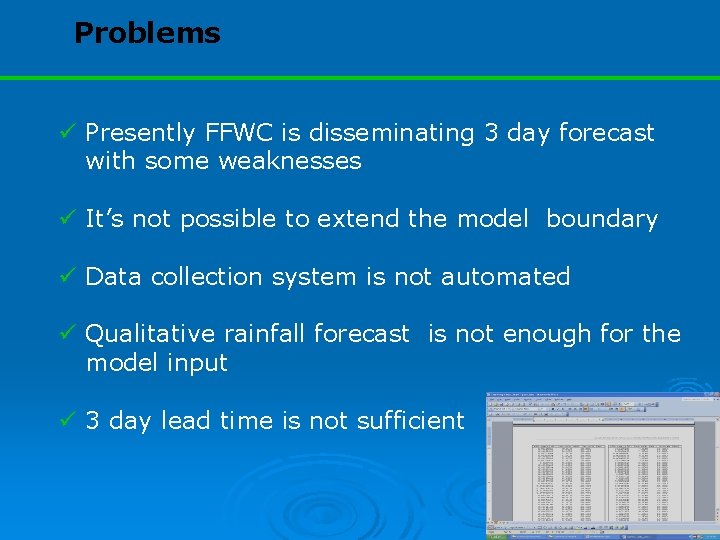
Problems ü Presently FFWC is disseminating 3 day forecast with some weaknesses ü It’s not possible to extend the model boundary ü Data collection system is not automated ü Qualitative rainfall forecast is not enough for the model input ü 3 day lead time is not sufficient

Future Application/Operation o Doppler Radar o Satellite Based RF and Q estimation o Application of Numerical Weather Prediction Model Result

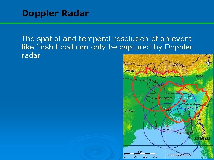
Doppler Radar The spatial and temporal resolution of an event like flash flood can only be captured by Doppler radar

Satellite-based RF and Q Estimation Satellite derived 3 hourly rainfall data of TRMM is promising The reliability of the remotely sensed data ? TRMM is producing error within acceptable range practicable to generate boundary discharge with ANN So, the combination of satellite rainfall and ANN is capable to improve boundary estimation and thereby extending FF lead time

Application of Numerical Weather Prediction Model Result 3 -individual time horizon are used to predict river Q at the U/S and regional precipitation 1 -10 day: issued daily 20 -30 day: issued 5 day interval 1 -6 months: issued at 1 month interval However, 1 -10 day forecasted data has been used for FF, on experimental basis

Application of Numerical Weather Prediction Model Result CFAN Data: Rainfall Discharge

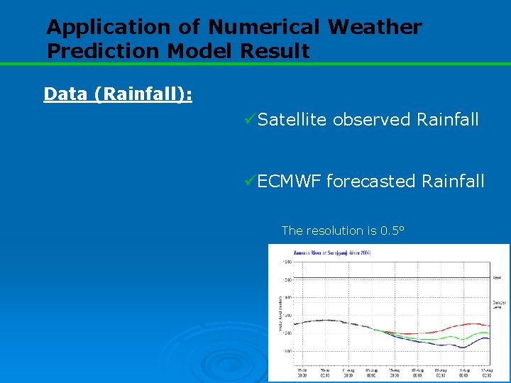
Application of Numerical Weather Prediction Model Result Data (Rainfall): üSatellite observed Rainfall üECMWF forecasted Rainfall The resolution is 0. 5°

Application of Numerical Weather Prediction Model Result The flood forecasting is based on ECMWF model result Real time rainfall over the catchment is provided by satellite estimation ECMWF has 51 Ensemble Prediction data set The 51 scenarios then combined into an average or small number of alternative forecasts Only 3 sets of data are used in real time forecasting

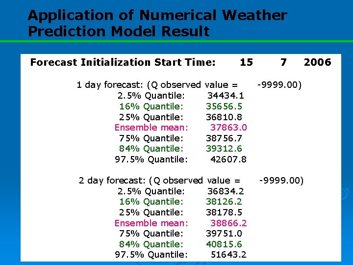
Application of Numerical Weather Prediction Model Result Forecast Initialization Start Time: 1 day forecast: (Q observed 2. 5% Quantile: 16% Quantile: 25% Quantile: Ensemble mean: 75% Quantile: 84% Quantile: 97. 5% Quantile: 15 7 2006 value = 34434. 1 35656. 5 36810. 8 37863. 0 38756. 7 39312. 6 42607. 8 -9999. 00) 2 day forecast: (Q observed value = 2. 5% Quantile: 36834. 2 16% Quantile: 38126. 2 25% Quantile: 38178. 5 Ensemble mean: 38866. 2 75% Quantile: 39751. 0 84% Quantile: 40815. 6 97. 5% Quantile: 51643. 2 -9999. 00)

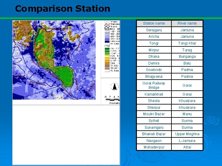
Comparison Station name River name Serajganj Jamuna Aricha Jamuna Tongi Khal Mirpur Turag Dhaka Buriganga Demra Balu Goalondo Padma Bhagyakul Padma Gorai Railway Bridge Gorai Kamarkhali Gorai Sheola Khusiyara Sherpur Khusiyara Moulvi Bazar Manu Sylhet Surma Sunamganj Surma Bhairab Bazar Upper Meghna Naogaon L-Jamuna Mohadevpur Atrai

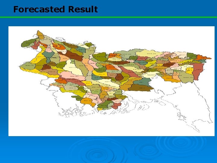
Forecasted Result

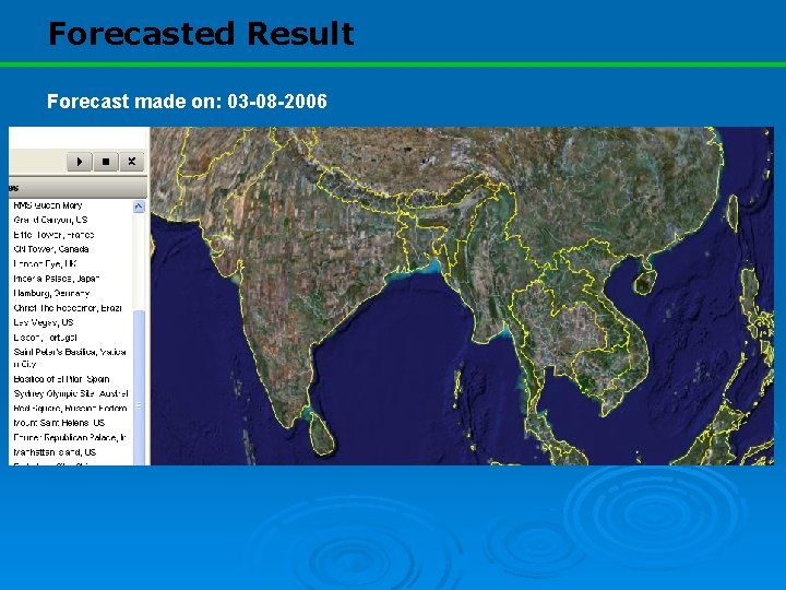
Forecasted Result Forecast made on: 03 -08 -2006

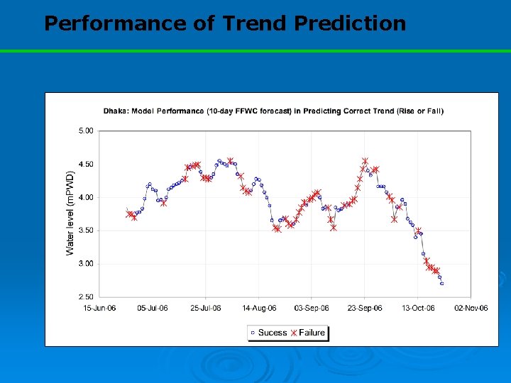
Performance of Trend Prediction

Conclusions Further extension of existing (3 day)forecasting lead time is required Newly introduced technology shows its capability of extending lead-time for more than 3 days However, the forecasting performance starts to deteriorate after 5 day

Conclusions The model succeeded 58% of the time in predicting correct trend (10 -day) The actual drawback remains on the course grided weather prediction model and satellite RF Therefore, the overall forecasting performance can be improved by reducing the uncertainty of satellite and ECMWF data over the catchment area

Way Forward Discharge prediction of the 2 boundary stations are required to be improved for 10 -day lead time Calibration of the weather prediction model along with satellite measured rainfall estimation is vital Downscaling of the ECMWF forecast can be helpful

THANK YOU !