
ILS Instrument Landing System By Will Parnell Description

ILS Instrument Landing System By Will Parnell
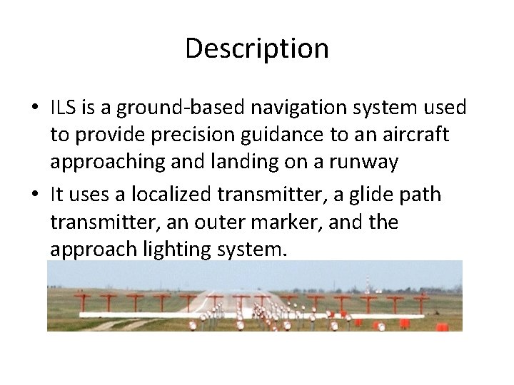
Description • ILS is a ground-based navigation system used to provide precision guidance to an aircraft approaching and landing on a runway • It uses a localized transmitter, a glide path transmitter, an outer marker, and the approach lighting system.
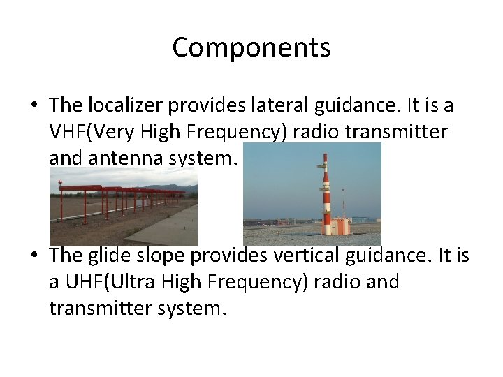
Components • The localizer provides lateral guidance. It is a VHF(Very High Frequency) radio transmitter and antenna system. • The glide slope provides vertical guidance. It is a UHF(Ultra High Frequency) radio and transmitter system.
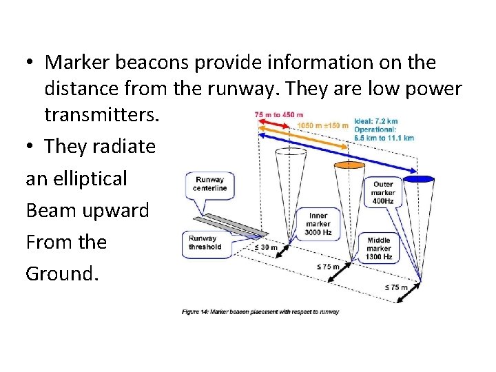
• Marker beacons provide information on the distance from the runway. They are low power transmitters. • They radiate an elliptical Beam upward From the Ground.
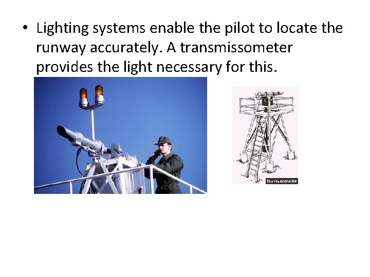
• Lighting systems enable the pilot to locate the runway accurately. A transmissometer provides the light necessary for this.
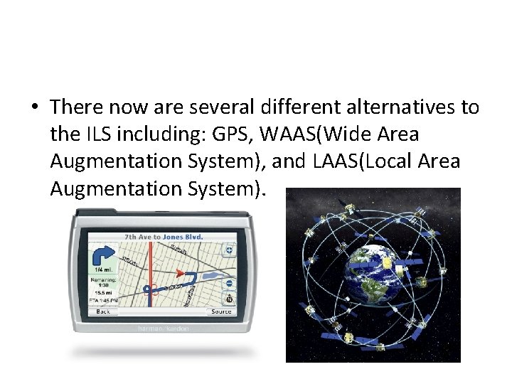
• There now are several different alternatives to the ILS including: GPS, WAAS(Wide Area Augmentation System), and LAAS(Local Area Augmentation System).
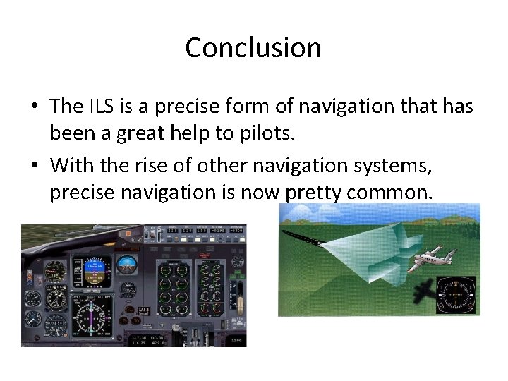
Conclusion • The ILS is a precise form of navigation that has been a great help to pilots. • With the rise of other navigation systems, precise navigation is now pretty common.
References • http: //en. wikipedia. org/wiki/Instrument_landi ng_system • http: //www. allstar. fiu. edu/aero/ils. htm • https: //www. google. com/search? q=ils+naviga tion&source=lnms&tbm=isch&sa=X&ei=_8 q. LU s. TNJeys 2 AXHx. YGQAQ&sqi=2&ved=0 CAc. Q_AU o. AQ&biw=1680&bih=988&safe=active&ssui=o n
- Slides: 8