
Illustrated Glossary Integrated Social StudiesEnglish Language Arts Curriculum

- Slides: 36
Illustrated Glossary Integrated Social Studies/English Language Arts Curriculum (Grade 3) ©Putnam/Northern Westchester BOCES Curriculum & Instructional Services
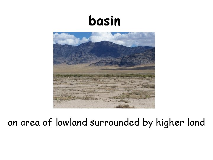
basin an area of lowland surrounded by higher land
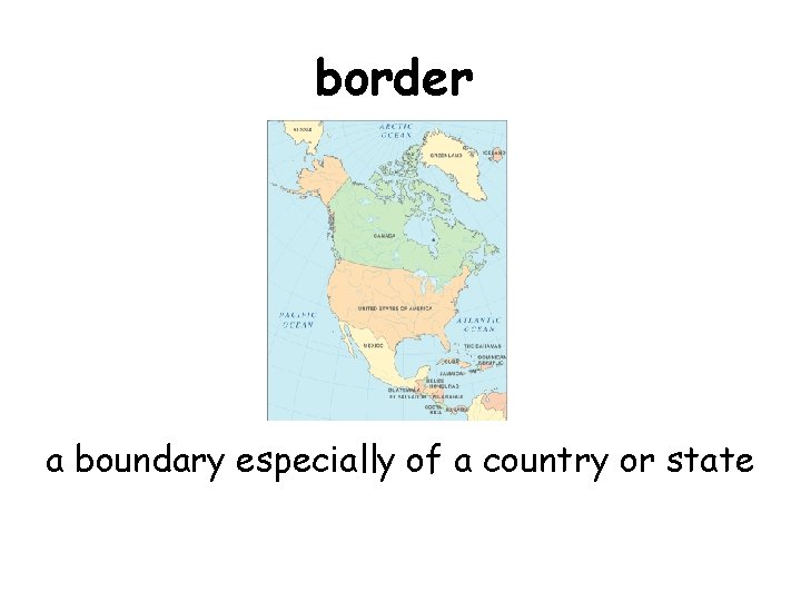
border a boundary especially of a country or state
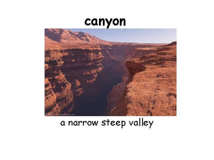
canyon a narrow steep valley
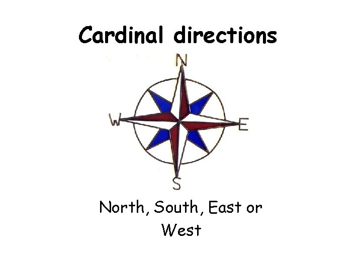
Cardinal directions North, South, East or West
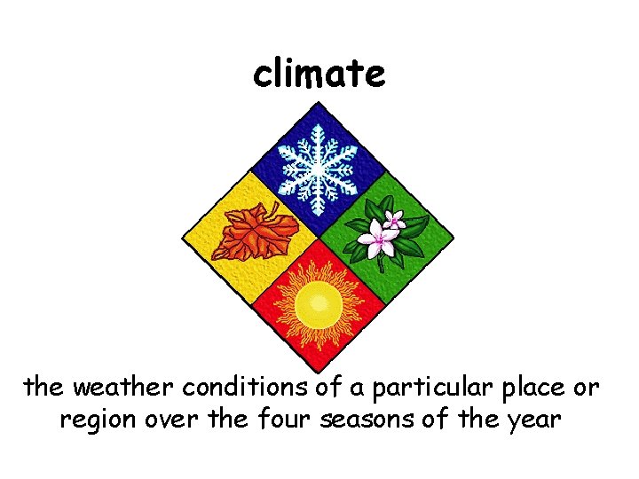
climate the weather conditions of a particular place or region over the four seasons of the year
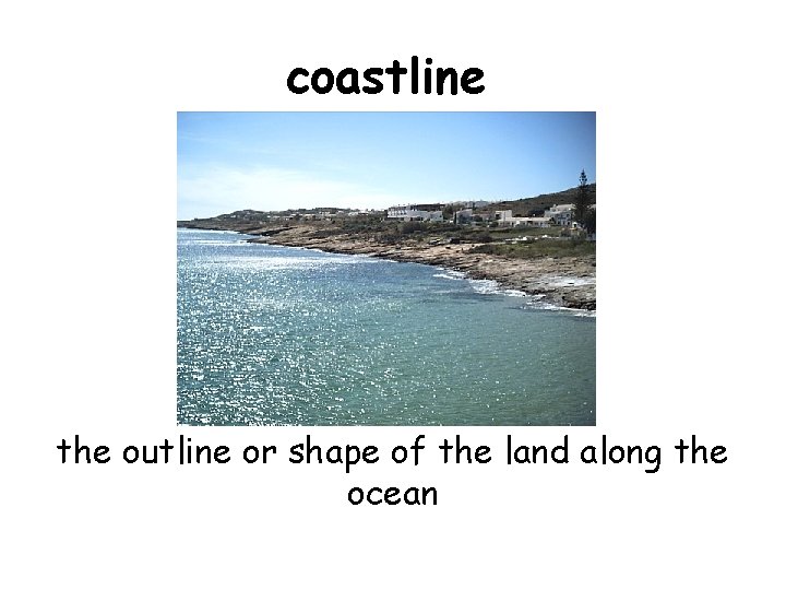
coastline the outline or shape of the land along the ocean
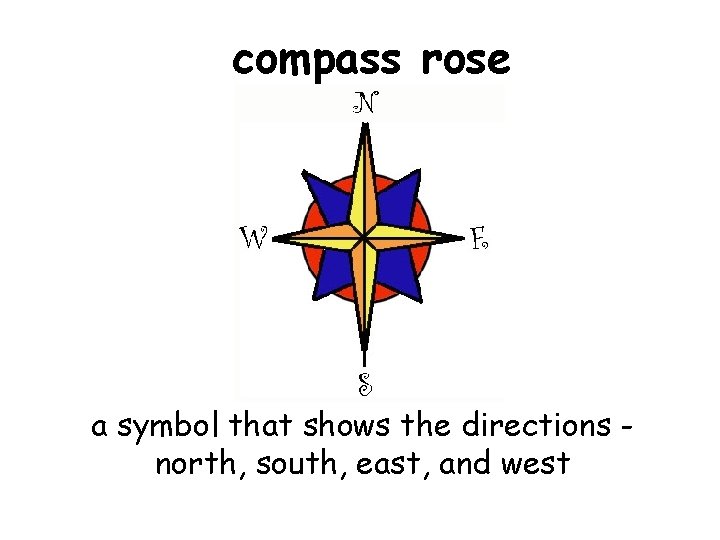
compass rose a symbol that shows the directions north, south, east, and west
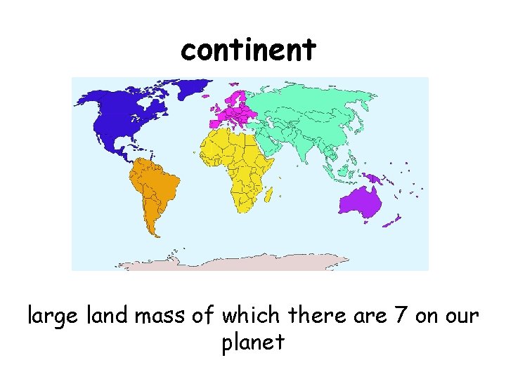
continent large land mass of which there are 7 on our planet
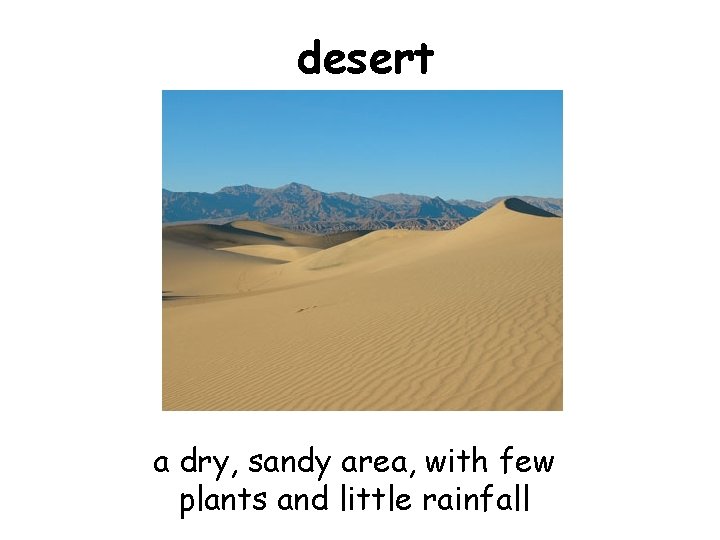
desert a dry, sandy area, with few plants and little rainfall
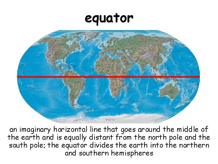
equator an imaginary horizontal line that goes around the middle of the earth and is equally distant from the north pole and the south pole; the equator divides the earth into the northern and southern hemispheres
geography the physical features of earth and their location; the natural parts of an area; a science that deals with the location of living and nonliving things on earth and the way they affect one another
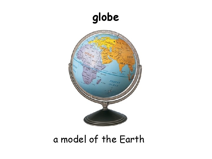
globe a model of the Earth
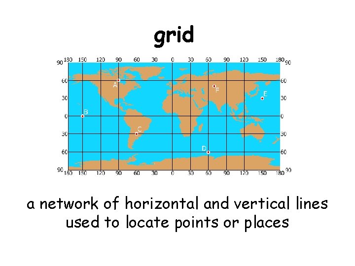
grid a network of horizontal and vertical lines used to locate points or places
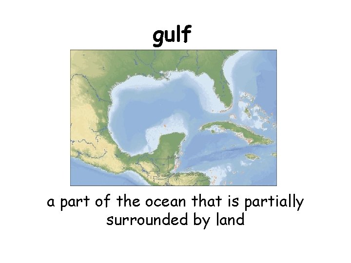
gulf a part of the ocean that is partially surrounded by land
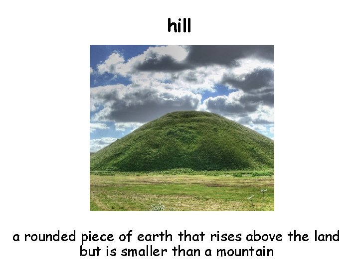
hill a rounded piece of earth that rises above the land but is smaller than a mountain
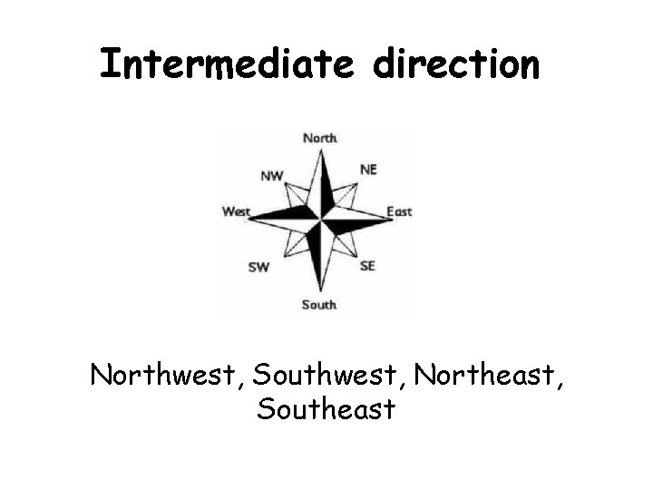
Intermediate direction Northwest, Southwest, Northeast, Southeast
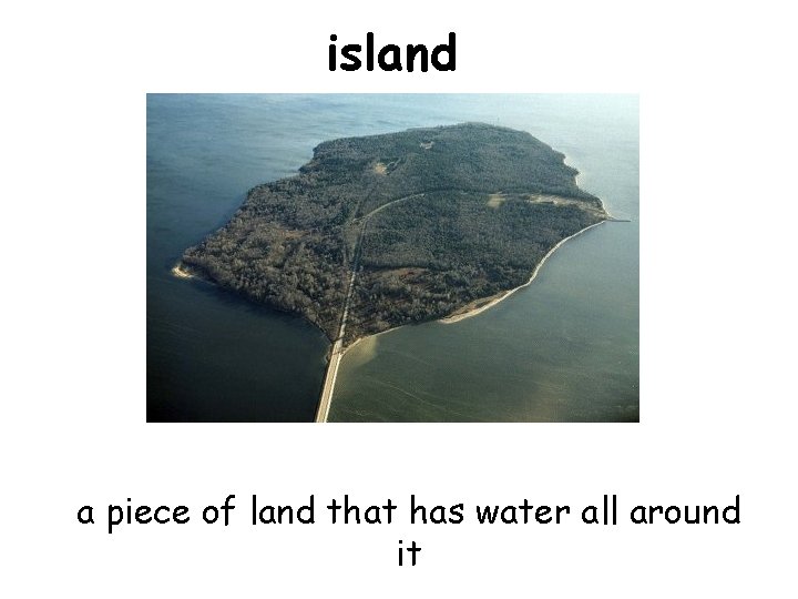
island a piece of land that has water all around it
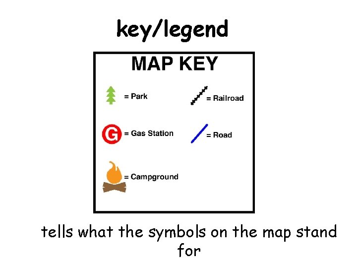
key/legend tells what the symbols on the map stand for
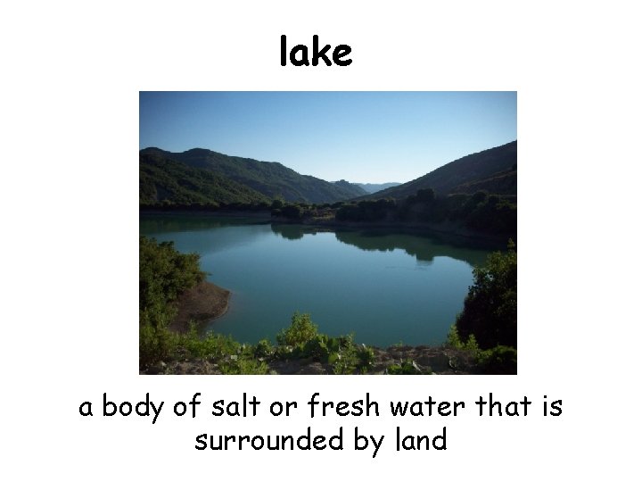
lake a body of salt or fresh water that is surrounded by land
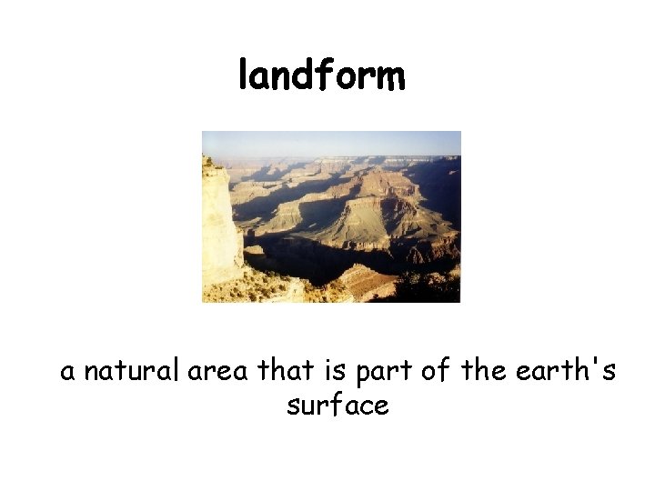
landform a natural area that is part of the earth's surface
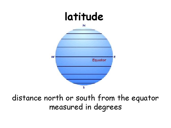
latitude distance north or south from the equator measured in degrees
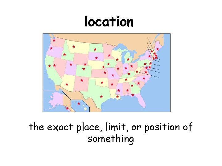
location the exact place, limit, or position of something
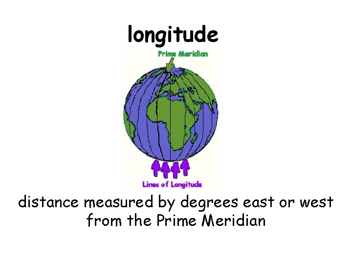
longitude distance measured by degrees east or west from the Prime Meridian
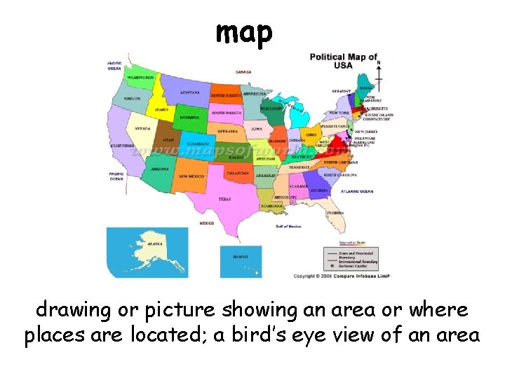
map drawing or picture showing an area or where places are located; a bird’s eye view of an area
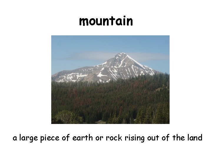
mountain a large piece of earth or rock rising out of the land
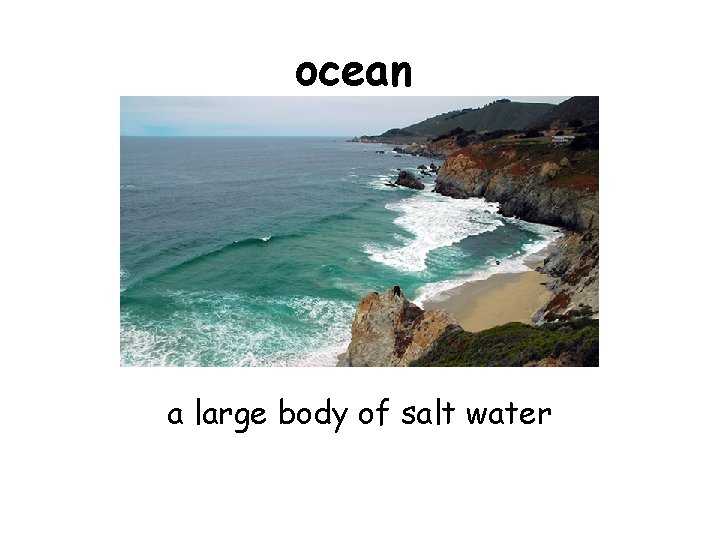
ocean a large body of salt water
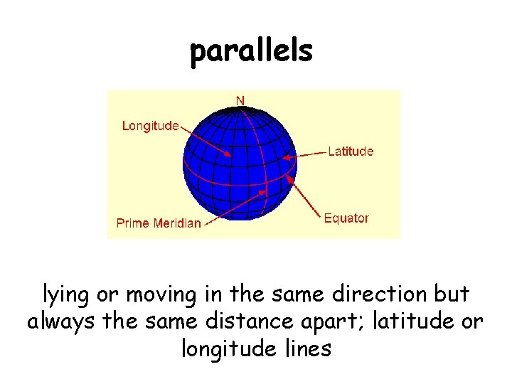
parallels lying or moving in the same direction but always the same distance apart; latitude or longitude lines
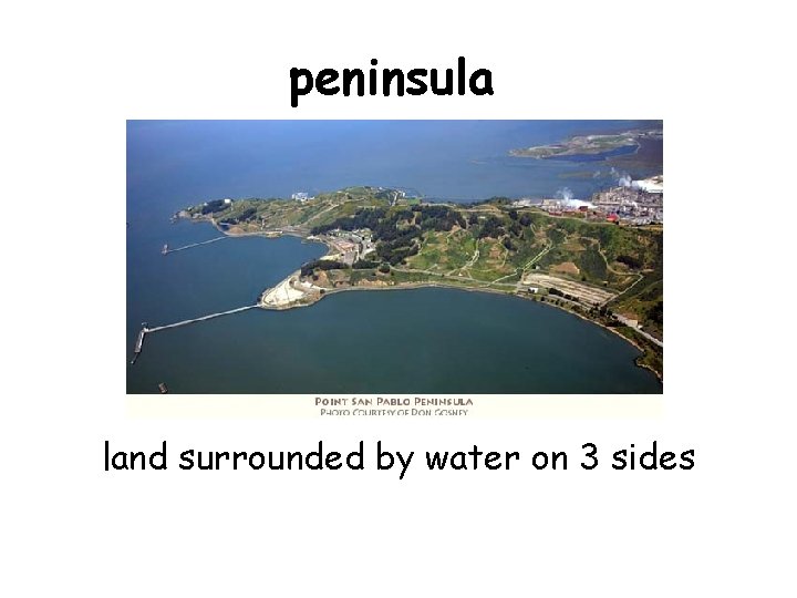
peninsula land surrounded by water on 3 sides
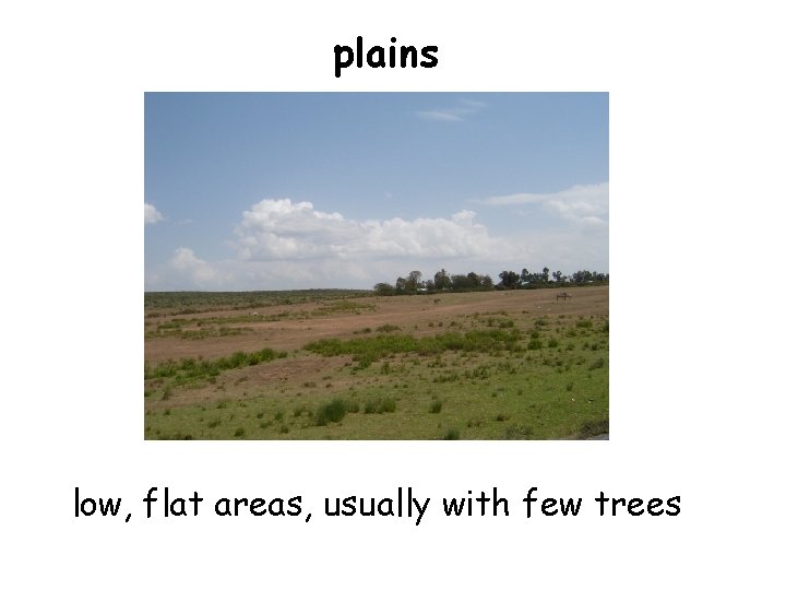
plains low, flat areas, usually with few trees
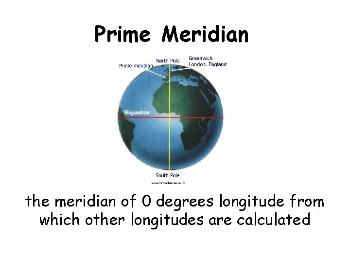
Prime Meridian the meridian of 0 degrees longitude from which other longitudes are calculated
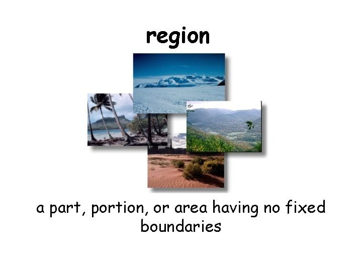
region a part, portion, or area having no fixed boundaries
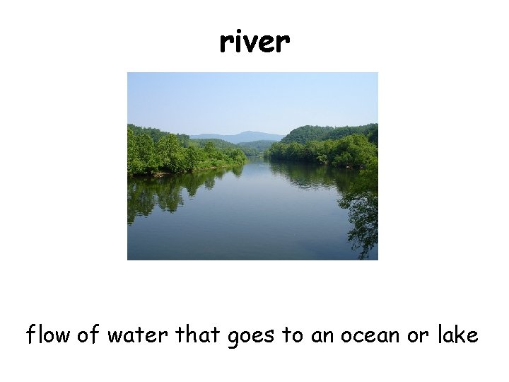
river flow of water that goes to an ocean or lake
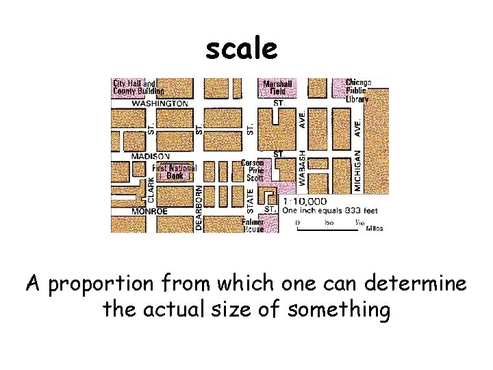
scale A proportion from which one can determine the actual size of something
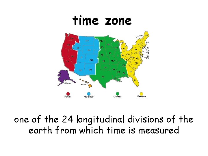
time zone of the 24 longitudinal divisions of the earth from which time is measured
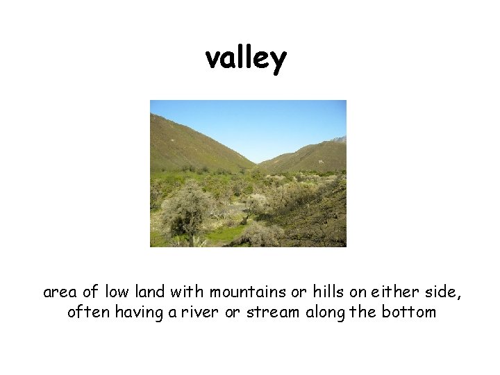
valley area of low land with mountains or hills on either side, often having a river or stream along the bottom