Illinois Height Modernization Program Communicating Benefits and Metrics

Illinois Height Modernization Program Communicating Benefits and Metrics for Height Modernization Efforts. Sheena K. Beaverson

Benefits and Metrics • Introduction – Anecdotes – Case Histories and Examples – 2012 ESRI Map Gallery Display – Great Lakes Region Height Mod Consortium meeting in Fall, 2012

Benefits and Metrics • £ 1 bn cruise liner squeezes under bridge. . . with just '1. 5 inches' to spare 31 October 2010 – About 20 in clearance … weather conditions brought margin of error down to 1. 5 in http: //www. dailymail. co. uk/news/article-1325198/Cruise-liner-squeezes-bridge-just-1 -5 -inches-spare. html

Benefits and Metrics o Ship carrying rocket parts hits Kentucky bridge o “Two spans of the Eggner Ferry Bridge … were destroyed Thursday night by the Delta Mariner, which was too tall to pass beneath the structure. ” o http: //www. nbcnews. com/id/46164194/ns/us_news-life/ 1/27/2012

Benefits and Metrics o Tower Bridge forced to open for 50 foot rubber duck. Wed 12 Dec 2012 o http: //www. itv. com/news/london/2012 -12 -11/london-bridge-forced-to-open-for-50 -foot-rubber-duck/

Benefits and Metrics • 3 D Elevation Program: Case Histories – http: //nationalmap. gov/3 DEP/ – FEMA expects that … program could reduce the amount of time needed to update its flood maps. – USGS discovered a surface rupture which led to a redesign of a $735 -million suspension bridge across the Tacoma Narrows. – The value to America's farmers of public domain lidar for precision agriculture is estimated to be $2 billion annually.
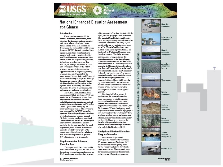

Benefits and Metrics • National Enhanced Elevation Assessment • “Elevation data are essential for flood mitigation, conservation management, infrastructure development, national security, and many other applications. ” • http: //pubs. usgs. gov/fs/2012/3088/pdf/fs 2012 -3088. pdf

2012 ESRI Map Gallery Display

• 2012 ESRI Map Gallery NGS poster by Christine Gallager – States Alphabetical • Height Mod grant (y/n) – Leveled Heights by state – Total Vertical Marks

2012 ESRI Map Gallery Display • A program overview seeking funding for Year 1 stated that Illinois was "in the bottom 10 states" with respect to elevation information. • From NGS poster, determined Illinois is 15 th of 49 states in # of precisely leveled heights. – Reach top 10 by end of current program year.

2012 ESRI Map Gallery Display • • 01 Florida 20, 842 02 Minnesota 16, 169 03 California 9, 784 04 N. Carolina 8, 263 05 Texas 6, 349 06 S. Carolina 6, 234 07 Michigan 5, 092 08 South Dakota 4, 643 • • 09 Wisconsin 4, 638 10 New York 3, 905 11 Washington 3, 764 12 Pennsylvania 3, 743 13 Virginia 3, 565 14 Maryland 3, 496 15 Illinois 2, 958 Bold = HM grant via NGS

Benefits and Metrics • Great Lakes Region Height Mod Consortium meeting in Fall 2012 in Lansing, MI. – Survey Data Statistics discussion at regional business meeting, NGS staff not present. • National metrics • State metrics

Discussion

Discussion Notes

Height Modernization Challenges • Maintain momentum – Aggressive goals require staff, hardware, software. • Future funding – NGS funding for HM not currently an option. – SPR funding is limited in duration. – State budget situations are dire.
- Slides: 17