II Geographers Tools A Maps and Globes Cartographer

II. Geographer’s Tools
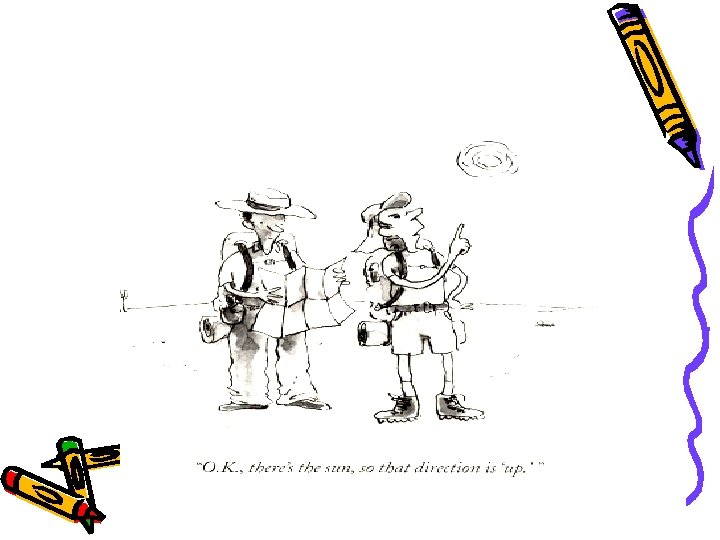

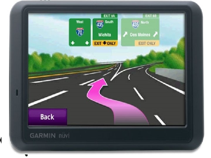
A. Maps and Globes • Cartographer – Mapmaker • Able to make very accurate maps of the earth’s surface • Global Positioning System – Use satellites to pinpoint one’s exact location

B. Differences of Maps and Globes • Globe – Most accurate model of the earth shown in three dimensions • Globe’s roundness makes it more accurate than a map • Maps – Show the world in two dimensions and are less accurate than globes
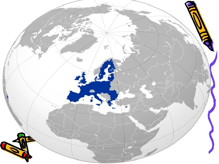

C. Three Types of Maps • General Reference – Show natural and human-made features to locate a place • Thematic Maps – Focus on one specific theme • Examples: Population, type of climate • Nautical Map – A chart

General Reference Map

Thematic Map

Thematic Map

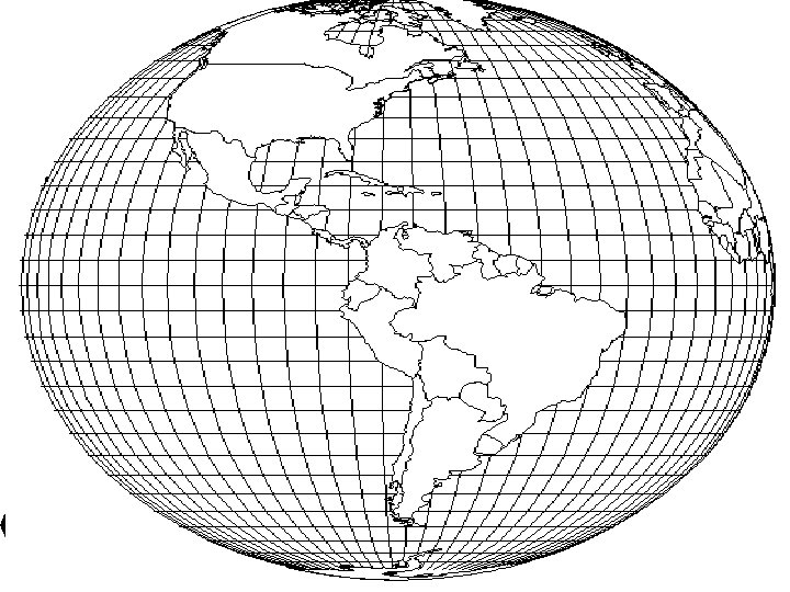
D. Map Projections • Map Projections – Earth’s curved surface shown on a flat surface • Dozens of projections • All projections distort the earth in some ways • Make some places look bigger or smaller than they really are
 Mercator Projection – Type of projection used on")
E. Types of Projections • 1) Mercator Projection – Type of projection used on maps for over 400 years • Makes the land at the top and bottom of the maps appear larger than they really are • 2) Robinson Projection – Projection used today that gives a more accurate picture of the world

Mercator Projection

Robinson Projection
- Slides: 17