Horsham South Structure Plan Project Location Zoning Zoning


 • • GRZ IN 1 Z IN 3 Z LDRZ RLZ")


 Elsewhere in Horsham we have approximately another 500 lots that")


 • Interface with industrial • areas • Flooding/inundation/ • storm")
 • • • Aged care Potable water supply Recycled water")


- Slides: 25
Horsham South Structure Plan Project
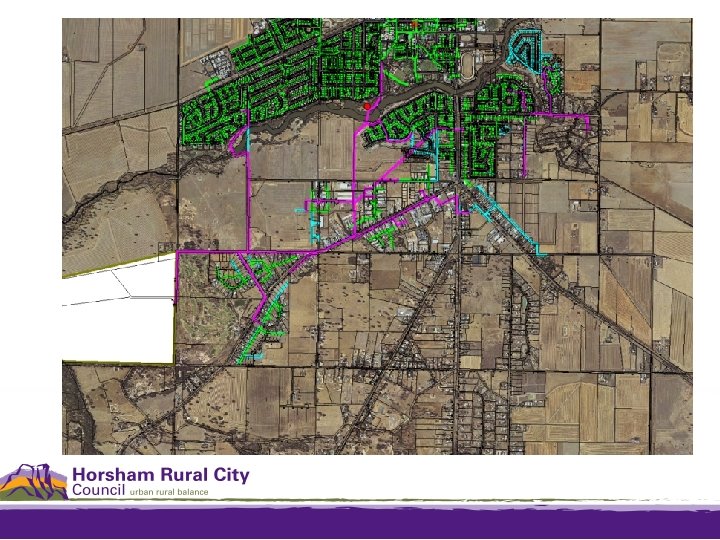
Location
Zoning
Zoning (cont. ) • • GRZ IN 1 Z IN 3 Z LDRZ RLZ C 2 Z FZ • • SPZ 5 PUZ 6 & 7 PPRZ PCRZ
DPO 1 - LDRZ
DPO 2 - RLZ
Horsham DPO 1 & 2
Horsham DPO 1 & 2
Horsham DPO 1 & 2
DDO 1, 3, 10
ESO 3 & 6
BMO
Area comparison Horsham South
Lot yield Current potential for : 190 Rural Living lots to be created 360 Low Density lots to be created 50 approved Low Density lots to be created 130 General Residential lots to be created 200 potential General Residential lots Approximately 930 lots can be developed for residential use
Lot yield (cont. ) Elsewhere in Horsham we have approximately another 500 lots that could be created in the General Residential Zone. In total approximately 1484 lots could be created for residential purposes. Equating to 15 to 20 years supply of housing in Horsham, providing no dwellings are built elsewhere in the municipality.
Sewerage Horsham’s Sewerage Treatment works located within the study area. Is it big enough? Will it need to be relocated to cater for Horsham’s future growth? Do buffer areas need to be increased (ESO 6)?
Transport One river crossing of the Wimmera River Western Highway & Henty Highway linkages/barriers Horsham Integrated Transport Strategy (draft) (HITS)
HITS recommendation
Other considerations • Recreation and open • space • • Bike paths • • Travel demand management • • Connectivity, river as a barrier • • Public land • Fire Haven Rec Reserve and School Horsham Golf Course Local convenience shopping Public facilities Entrances and design
Other considerations (cont. ) • Interface with industrial • areas • Flooding/inundation/ • storm water • • Expectation of services • • Supply of services – • social and hard infrastructure • City wide services (rubbish etc) Public transport Drainage Children's services NBN and telecommunications education
Other considerations (cont. ) • • • Aged care Potable water supply Recycled water Sustainability Landscape and amenity • Cultural heritage • Farm land interface • Buffer to sale yards • Buffer to Horsham Rifle Range and overshoot area • Horsham Artist in Residence
Possible outcomes • • New Development Plan Overlay schedules Possible revision of zones Changes to other overlays Infrastructure plans (sewerage, water, storm water, drainage, roads) • Developer contributions plan • Section 173 agreements • An actual plan or direction for the future development of the Horsham South area (Structure Plans) rather than the current ad-hoc development
Example structure plan
Thank you