
HMA Product Metadata Workshop CNES and CLS remarks
- Slides: 14
HMA Product Metadata Workshop CNES and CLS remarks on altimetry specificities HMA Product Metadata Workshop /
Table of content ■ Objectives and introduction ■ Context of the study ■ Altimetry specificities (JASON) ■ Altimetry specificities ■ Work done : metadata comparison ■ Conclusions from metadata comparison HMA Product Metadata Workshop 2
Objectives and introduction ■ The objectives of this study is w to provide inputs for the integration of altimetry thematic in HMA ■ In CNES, w we have started to implement HMA compliant interfaces for HMA-OPT product · SPOT and PLEIADES data w We have a generic data valorization tool : SIPAD-NG · Used for Mercator, CDPP, SMOS, SSALTO · And soon on ICARE, DECLIC, SERAD w We want to implement a HMA compliant interface to our generic tool · Activity started in the frame of ICARE with POLDER data – We have started the development linked to POLDER · Activity started in the frame of SSALTO in altimetry thematic – Need for a specialization of HMA metadata for altimetry HMA Product Metadata Workshop 3
Context of the study ■ The target of our study is w Nadir altimeter like JASON 1, JASON 2, … ■ The reference taken for this study is w JASON 2 · Most recent altimeter · Most complete metadata ■ Our feeling is that HMA is more mature for OPT products w Work is to be done in the other thematics · ATM · ALT ■ Altimetry is different from OPT w Then these differences / specificities have to be taken into account HMA Product Metadata Workshop 4
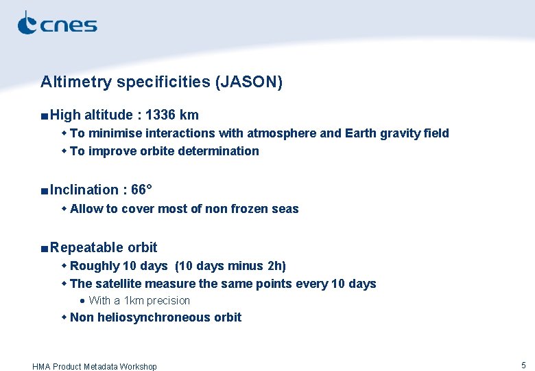
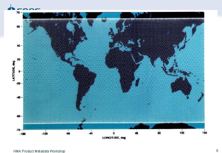
Altimetry specificities (JASON) ■ High altitude : 1336 km w To minimise interactions with atmosphere and Earth gravity field w To improve orbite determination ■ Inclination : 66° w Allow to cover most of non frozen seas ■ Repeatable orbit w Roughly 10 days (10 days minus 2 h) w The satellite measure the same points every 10 days · With a 1 km precision w Non heliosynchroneous orbit HMA Product Metadata Workshop 5
Altimetry specificities HMA Product Metadata Workshop 6
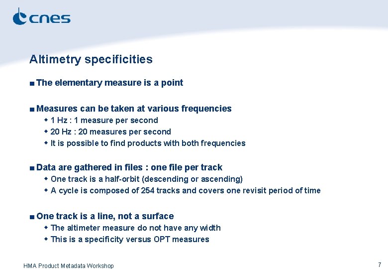
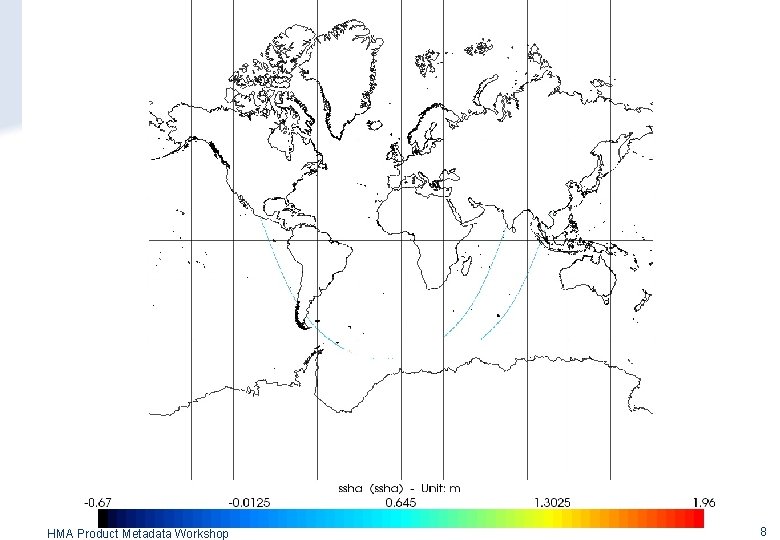
Altimetry specificities ■ The elementary measure is a point ■ Measures can be taken at various frequencies w 1 Hz : 1 measure per second w 20 Hz : 20 measures per second w It is possible to find products with both frequencies ■ Data are gathered in files : one file per track w One track is a half-orbit (descending or ascending) w A cycle is composed of 254 tracks and covers one revisit period of time ■ One track is a line, not a surface w The altimeter measure do not have any width w This is a specificity versus OPT measures HMA Product Metadata Workshop 7
HMA Product Metadata Workshop 8
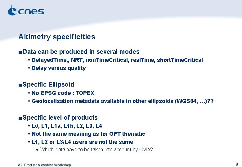
Altimetry specificities ■ Data can be produced in several modes w Delayed. Time, , NRT, non. Time. Critical, real. Time, short. Time. Critical w Delay versus quality ■ Specific Ellipsoid w No EPSG code : TOPEX w Geolocalisation metadata available in other ellipsoids (WGS 84, …)? ? ■ Specific level of products w L 0, L 1 a, L 1 b, L 2, L 3, L 4 w Not the same meaning as for OPT thematic w L 1, L 2 or L 3/L 4 users are not the same · Which data have to be taken into account by HMA? HMA Product Metadata Workshop 9
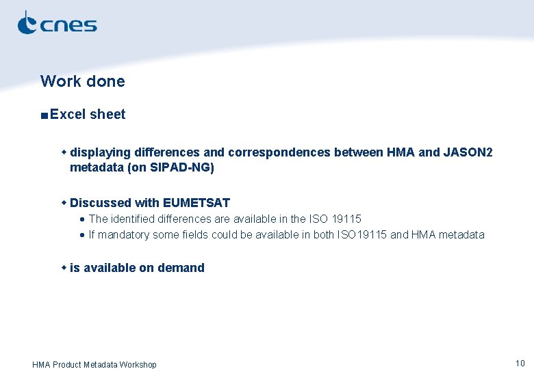
Work done ■ Excel sheet w displaying differences and correspondences between HMA and JASON 2 metadata (on SIPAD-NG) w Discussed with EUMETSAT · The identified differences are available in the ISO 19115 · If mandatory some fields could be available in both ISO 19115 and HMA metadata w is available on demand HMA Product Metadata Workshop 10
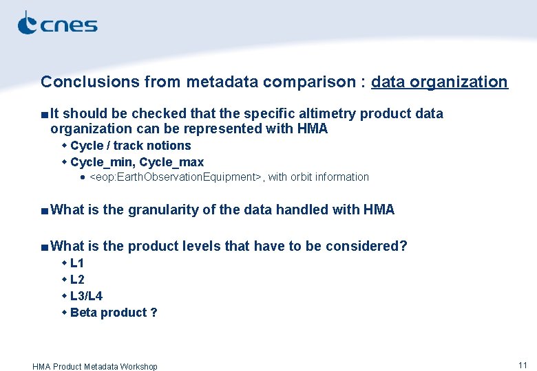
Conclusions from metadata comparison : data organization ■ It should be checked that the specific altimetry product data organization can be represented with HMA w Cycle / track notions w Cycle_min, Cycle_max · <eop: Earth. Observation. Equipment>, with orbit information ■ What is the granularity of the data handled with HMA ■ What is the product levels that have to be considered? w L 1 w L 2 w L 3/L 4 w Beta product ? HMA Product Metadata Workshop 11
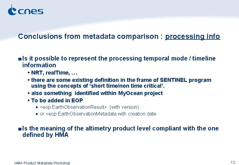
Conclusions from metadata comparison : processing info ■ Is it possible to represent the processing temporal mode / timeline information w NRT, real. Time, … w there are some existing definition in the frame of SENTINEL program using the concepts of ‘short time/non time critical’. w also something identified within My. Ocean project w To be added in EOP · <eop: Earth. Observation. Result> (with version) · or <eop: Earth. Observation. Metadata with creation date ■ Is the meaning of the altimetry product level compliant with the one defined by HMA Product Metadata Workshop 12
Conclusions from metadata comparison : data content ■ Is it possible to use TOPEX ellipsoid w There is no EPSG code for TOPEX! ■ Resolution information as a sampling frequency (1 Hz, 20 Hz, both) to be added? ■ The altimetry products provides several variables w Sea surface height, wave, wind, … w Correction measurements (meteo fields, tides, …) w Standardization of this has already been done in CF metadata · CF Climate and Forecast · already used for Jason-2 products · For each geophysical variable there is one CF standard_name (see screen capture j 2 metadata. jpeg). Each standard name correspond to one entry in CF, with a definition (see cfssh. jpg). HMA Product Metadata Workshop 13
Conclusions from metadata comparison : info representation ■ How to take into account that the measure is a line? ■ Is it required to produce thumbnail / quicklook ■ description + vocabularies • Eop: Earth. Observation. Equipment • platform/sensor/instrument • just take care to take the same references (My. Ocean project). • Some OWL/SKOS vocabularies would be a good thing. HMA Product Metadata Workshop 14