
HiRes Landcover Pete Kollasch Iowa DNR You are
- Slides: 31
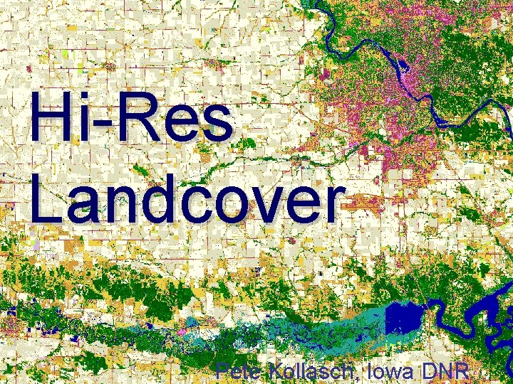
Hi-Res Landcover Pete Kollasch, Iowa DNR
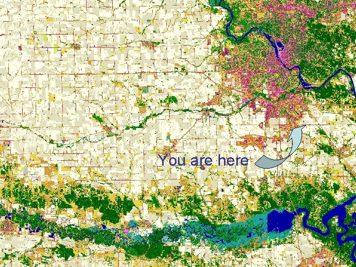
You are here
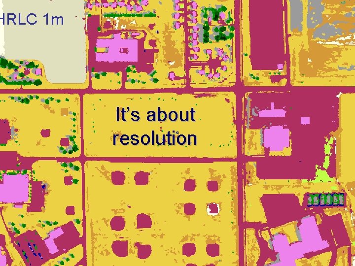
HRLC 1 m It’s about resolution
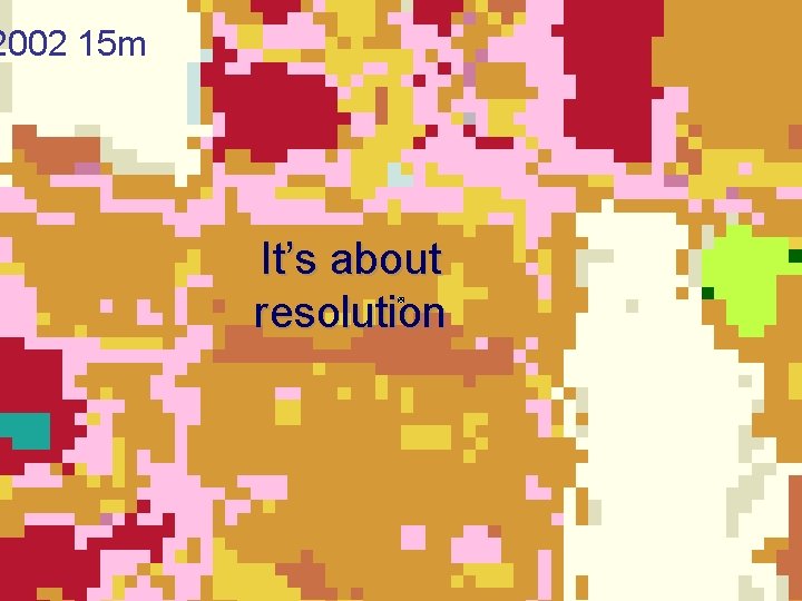
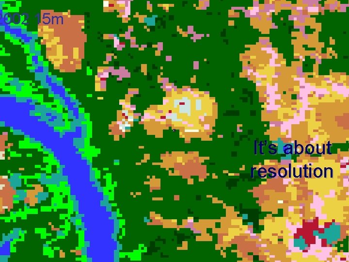
2002 15 m It’s about resolution
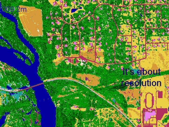
2009 2 m It’s about resolution
2002 15 m It’s about resolution
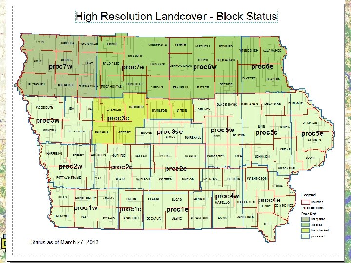
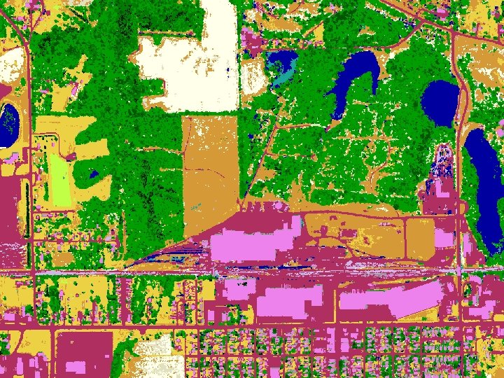
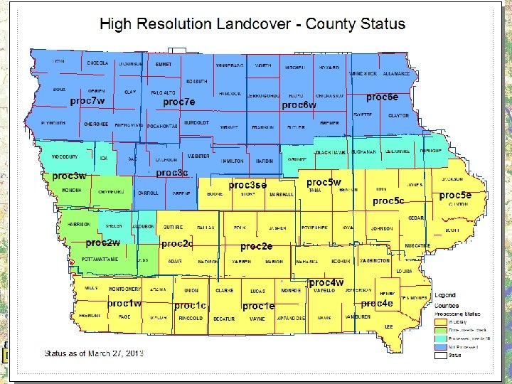
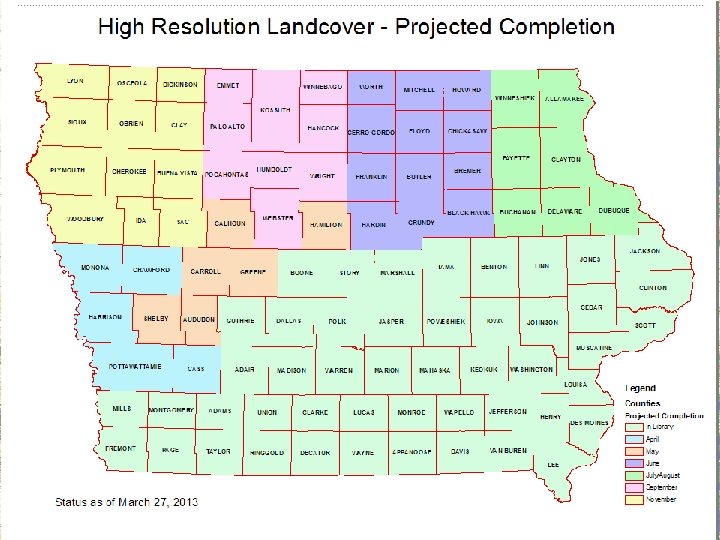
What is it? • Statewide Land Cover file • 1 meter spatial resolution – Compare to previous 15 m 1986, 1990, 2002 • Derived from aerial imagery and lidar data – Previous all derived from Landsat imagery • Interpreted to Summer 2009 NAIP • County files ~ 50% complete now – 100% complete by end of 2013
Need • 2002 – most recent landcover product – More current data desired • In May 2003 – Landsat 7 partial failure – With only Landsat 5: difficult to obtain sufficient satellite imagery coverage • Interest in higher resolution product
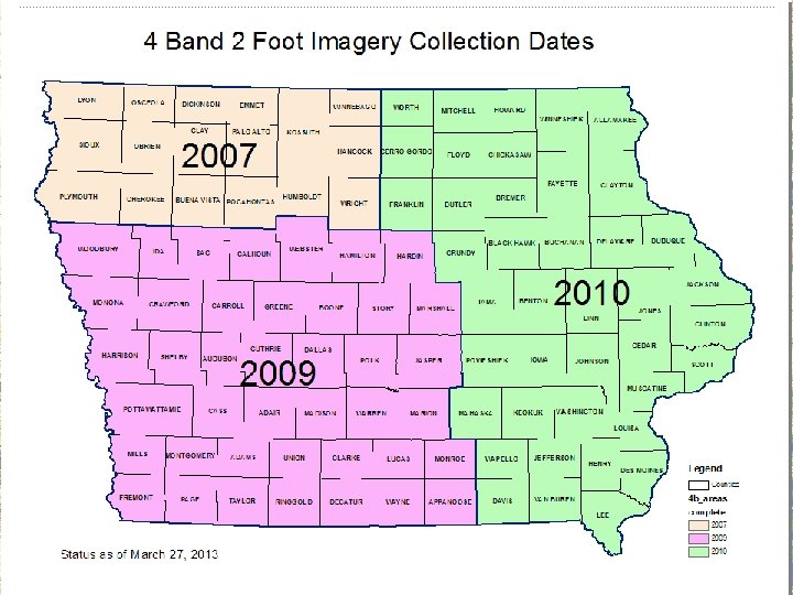
Opportunity • Annual NAIP imagery available – From 2004 through 2011 • 4 band spring leaf-off imagery available – 2007 Northwest by Sanborn – 2009 West & 2010 East by ASI • Lidar elevation data becoming available
Criteria for Process • Reliable enough to produce compatible products from a wide range of input quality • That can be completed in a finite period
Issues • Aerial Photography has high spectral variability – Collection date (esp. NAIP) – Multiple cameras / collections – Internal variability – hotspots, etc. – Suggests the use of “flattening” technologies • Need sufficient spectral content
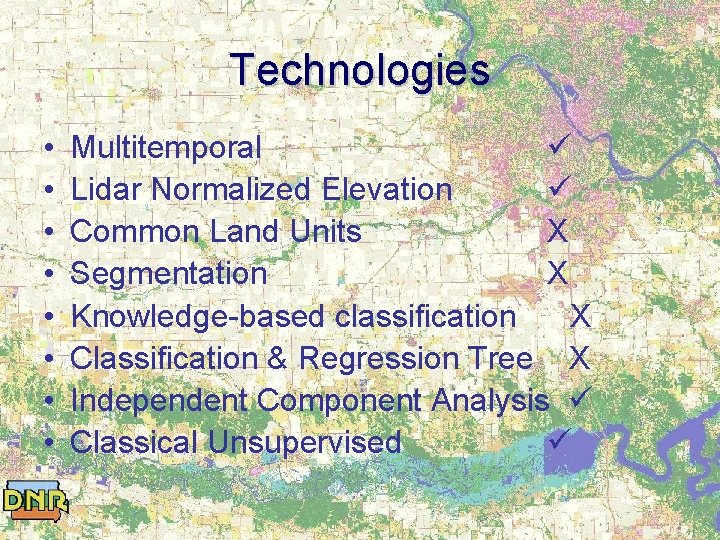
Technologies • • Multitemporal Lidar Normalized Elevation Common Land Units Segmentation Knowledge-based classification Classification & Regression Tree
Technologies • • Multitemporal Lidar Normalized Elevation Common Land Units X Segmentation X Knowledge-based classification X Classification & Regression Tree X Independent Component Analysis Classical Unsupervised
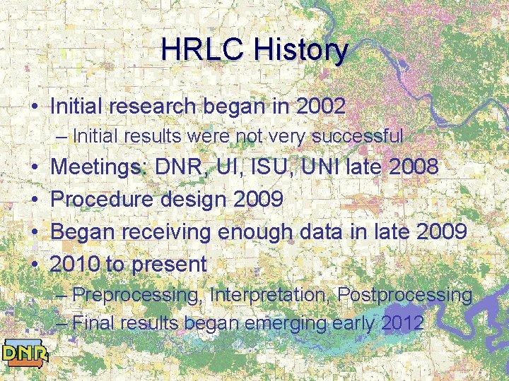
HRLC History • Initial research began in 2002 – Initial results were not very successful • • Meetings: DNR, UI, ISU, UNI late 2008 Procedure design 2009 Began receiving enough data in late 2009 2010 to present – Preprocessing, Interpretation, Postprocessing – Final results began emerging early 2012
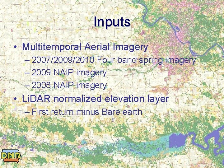
Inputs • Multitemporal Aerial Imagery – 2007/2009/2010 Four band spring imagery – 2009 NAIP imagery – 2008 NAIP imagery • Li. DAR normalized elevation layer – First return minus Bare earth
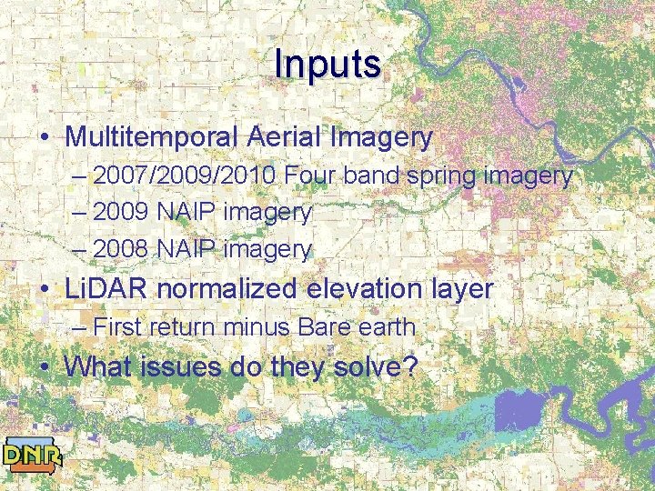
Inputs • Multitemporal Aerial Imagery – 2007/2009/2010 Four band spring imagery – 2009 NAIP imagery – 2008 NAIP imagery • Li. DAR normalized elevation layer – First return minus Bare earth • What issues do they solve?
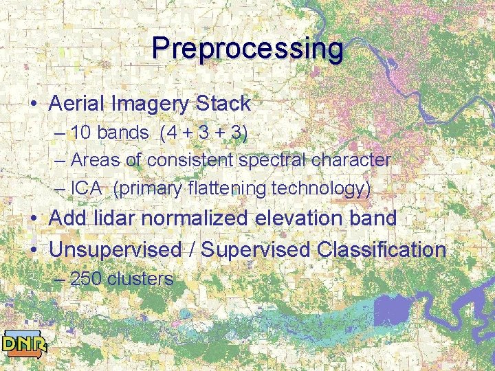
Preprocessing • Aerial Imagery Stack – 10 bands (4 + 3) – Areas of consistent spectral character – ICA (primary flattening technology) • Add lidar normalized elevation band • Unsupervised / Supervised Classification – 250 clusters
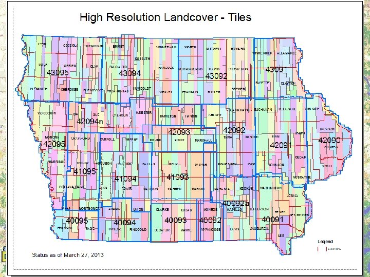
Interpretation • ERDAS Class Grouping Tool • Initially 2 tier – Grouping / Checking • Later 3 tier – Grouping / Checking / Final Check – Final check by a single interpreter for consistency
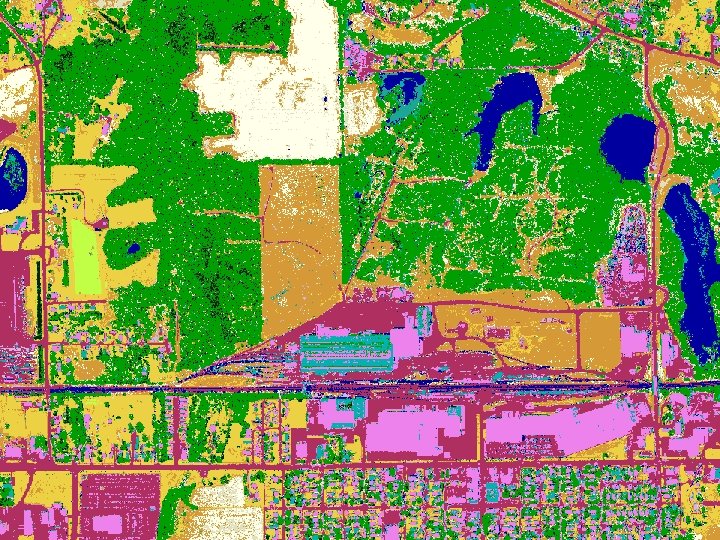
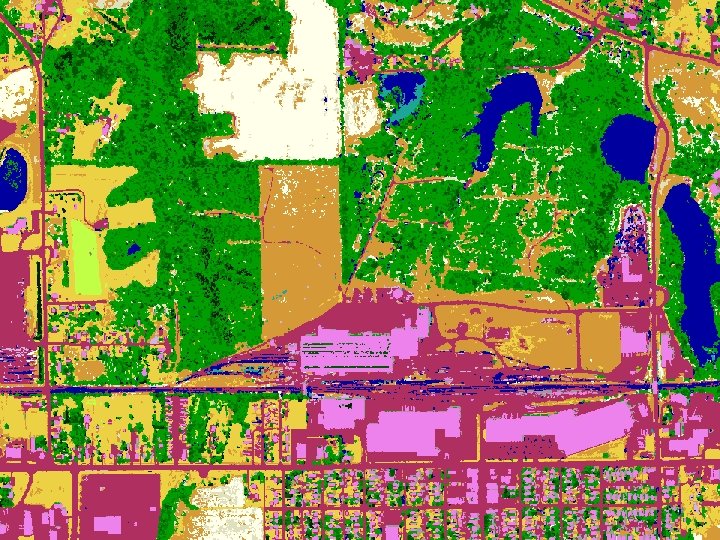
Postprocessing • • Fuzzy Recode (another flattener) Erode edges of tiles, sequence Mosaic tiles together Lidar normalized elevation filtering Shadow conversion around structures Eliminate objects < 10 pixels Reconstruct entire mosaic
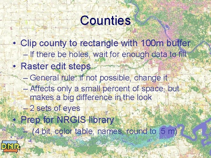
Counties • Clip county to rectangle with 100 m buffer – If there be holes, wait for enough data to fill • Raster edit steps – General rule: if not possible, change it – Affects only a small percent of space, but makes a big difference in the look – 2 sets of eyes • Prep for NRGIS library – (4 bit, color table, names, round to. 5 m)
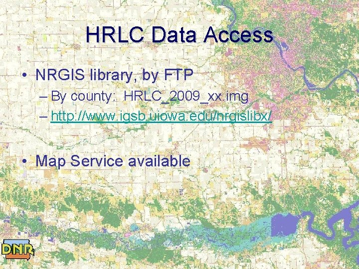
HRLC Data Access • NRGIS library, by FTP – By county: HRLC_2009_xx. img – http: //www. igsb. uiowa. edu/nrgislibx/ • Map Service available
Thanks • • Thejashwini Ramarao Matt Swanson Kathryne Clark Matt Gosse Sarah Porter Cody Hackney ISU, UI, UNI remote sensing personnel • • • Jim Giglierano Chris Ensminger Daryl Howell Casey Kohrt Chris Kahle and many more …
Questions? • Pete Kollasch – Pete. kollasch@dnr. iowa. gov – 319 -335 -1578