HIGH AND LOW PRESSURE SYSTEMS WEATHER SYSTEMS UNIT


- Slides: 15
HIGH AND LOW PRESSURE SYSTEMS WEATHER SYSTEMS UNIT Regents Earth Science By the end of this class, you will be able to: *Compare and contrast high and low pressure systems *Identify areas of high and low pressure on a weather map
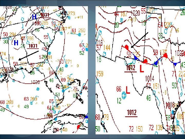
DO NOW: What’s in a letter? Take a moment to think about what each letter stands for when used on a weather map
Compare/Contrast Chart High and Low Pressure High Pressure Type of phenomenon Determined by… Moving inward on isobars… Density of air Representation on a map Motion of air Also known as… Motion of air causes a zone of… Stability of atmosphere Typical weather Low Pressure Weather system Changes in air pressure Pressure Increases Pressure Decreases Higher H (typically blue) Clockwise, air sinks Anticyclone Divergence Lower L (typically red) Counterclockwise, air rises Cyclone Convergence Stable Unstable
Remember: Isobars are lines of equal pressure
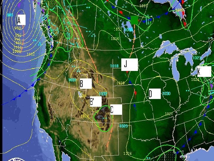
Identify one center of high pressure and one center of low pressure using the letters on the map below. Be able to briefly explain your answer.
Fronts- ESRT page 13 Fronts are shown by lines that separate two air masses Warm front: the boundary between a mass of warm air and a colder mass of air it’s replacing
Cold Front Cold front: a boundary between a mass of cold air and the warmer air it is replacing
Stationary Fronts: a boundary between air masses that are not moving
Development of a mid-latitude cyclone A swirl begins to develop as winds blow in opposite directions along a stationary front 2. The cold, dry and more dense air begins to close in on the warmer and moister air mass 3. The cold front takes over the warm front to produce an occluded front 4. A portion of the warmer air is isolated as the swirl closes in 1.
Occluded Fronts Occluded Front: occur when warm air is pushed above Earth’s surface by cooler air that is closing in from both sides
Animation of Fronts
Movement of Weather In the US, air masses and fronts move in a direction and speed based on past observations Most of the tracks (paths) follow a southwest to northeast pattern because of the United States’ location in the prevailing southwest wind belt Video: Summary of Weather Information
Review of How to Interpret Weather Station Data What is the temperature of each station? What is the dew point of each station? What is the wind direction of the stations? Which station model has higher pressure and why?