Hendersonia occulta Habitat Suitability Study By Thomas J

Hendersonia occulta Habitat Suitability Study By Thomas J. Burmeister

Research Question What are the determinant environmental variables for depicting a suitable habitat for H. occulta? This question is important for determining which areas of the driftless region would benefit H. occulta if managed. Also, this environmental information will allow research to identify other possible sites for future field research. What is the most feasible way of creating a predictive model for snail habitat?
 Hendersonia Points (point feature class) Wisconsin Land")
Data All Research Sites (point feature class) Hendersonia Points (point feature class) Wisconsin Land Cover (raster) Aspect (DEM) Slope (DEM)

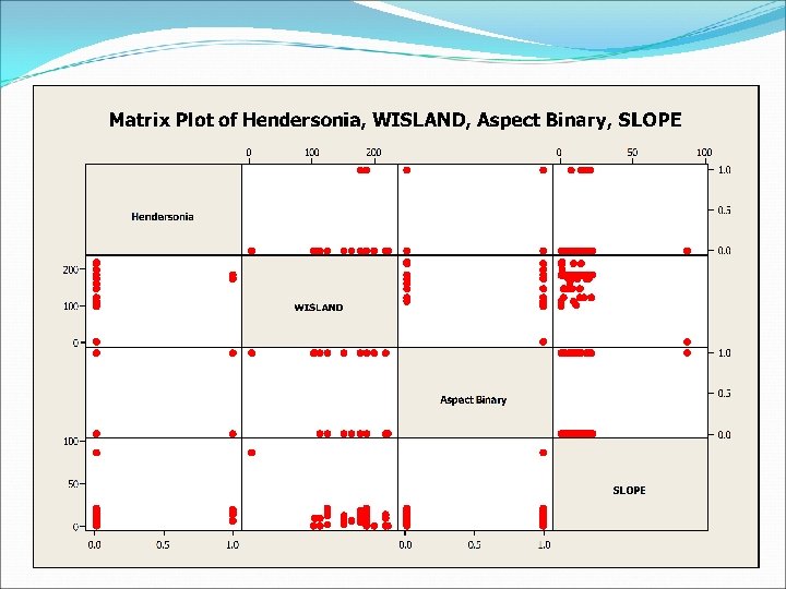
Work Flow Framed the Question Gathered Data Analyzed Data: Zonal Statistics and Logistic Regression Examined Results Method: Created suitability model in Model Builder
 Made finding statistically significant")
Challenges Data Working with a limited number of observations (n) Made finding statistically significant variables difficult. Converting data gathered in the field for use in a GIS. One point, wildcat mtn. , that we thought was for a site containing H. occulta was in fact a parking lot at UW La. Crosse.

Methods Took the Excel file of the field research and converted it to a. dbf for use in Arc. Map. Ran statistical analyses with the “zonal statistics as table” tool as well as a logistic regression model. We did two separate analyses: one using data derived from the field another with data derived from the GIS. Created a suitability model in Model builder Reclassified the rasters for weighting purposes.

Statistics Tabulated Statistics: H. occulta, WISCLAND Rows: H. occulta Columns: WISCLAND 1 104 113 124 150 163 177 187 200 218 223 All 0 1 1 1 2 4 7 1 8 43 1 5 1 75 % 100 100 89 89 100 100 93 1 0 0 0 0 1 5 0 0 0 6 % 0 0 0 0 11 10 0 7 All 1 1 1 2 4 7 1 9 48 1 5 1 81 % 100 100 100 100

Methods Reclassifying WISCLAND Since the majority of H. occulta were located in the broad leaf deciduous forest (187) with experts agreeing that the trees in that area, e. g. , sugar maples, are good for snails, we decided to reclassify the raster so that the value 187 was 10 with all other values zero. Reclassifying Aspect H. occulta prefer the north facing slopes of hills, therefore we reclassified all north facing aspects, 27090, to the value of 10 with all other values changed to zero.

Methods Reclassifying Slope All of the H. occulta points were found in areas with slopes between 5 and 25 percent grade. The expert opinion was that while slope did matter it was not as important a predictor as the previous two variables, thus we reclassified all values between 2 and 25 to 5 with all other values changed to zero. The end result was a weighted raster with values ranging from 0 to 25, with 25 representing the best habitat.

Methods Adding the USGS GAP regions to the model Converted the vector layer to a raster Assigned a value of 100 to all cells representing GAP areas. Used the “single output map algebra” tool to add all the rasters together.

Conclusion The model predicted where H. occulta were likely to be with a decent degree of accuracy. However, there the model could not account for other important variables, such as litter depth, due to a lack of site specific data.
- Slides: 12