Height Above Nearest Drainage in Houston and Galveston

Height Above Nearest Drainage in Houston and Galveston Jeff Zheng GIS Water Resources

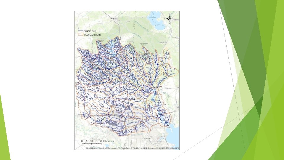
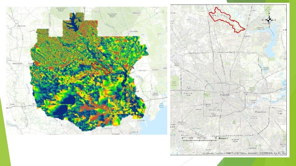
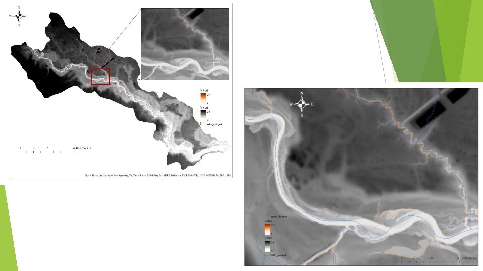
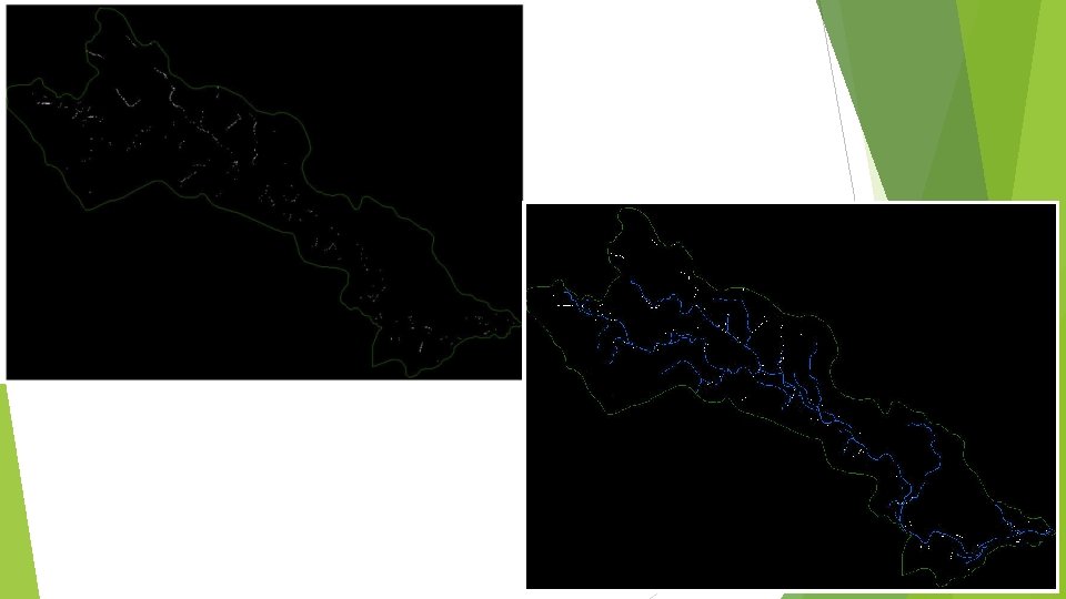
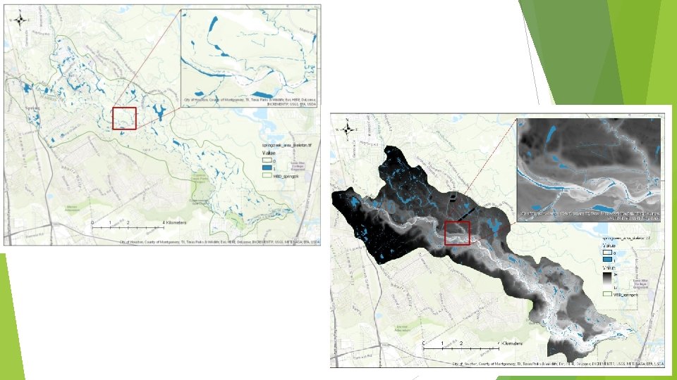
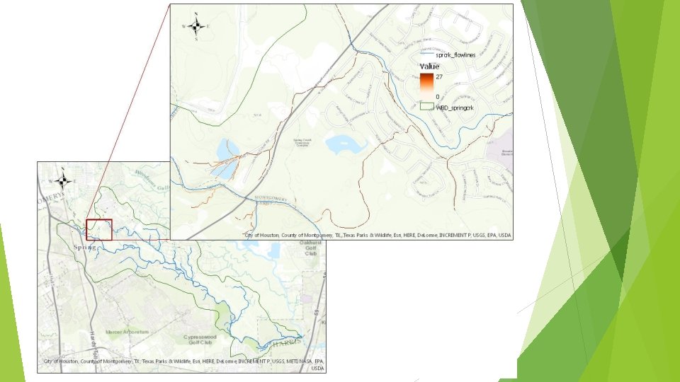
HAND - Houston

Geo. Net Open access computational tool Can be applied to different types of terrain: Natural areas/catchments Relatively flat topography and some artificial features Urban areas
 First time experience (so lack")
Project Challenges Large datasets (~60 GB – Houston area) First time experience (so lack of) Need to analyze data at much smaller scales Administrative access in general Downloading/installing software Access to licensed commercial software Mapping toolbox (MATLAB) Learning curve Become some-what competent with MATLAB and Python
")
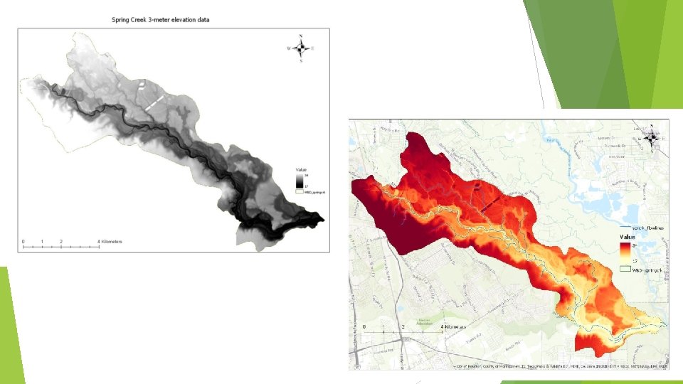
Next Steps Produce drainage networks for several more small scale catchments (in shape file) Create HAND raster files for the small scale catchments Overlay with the 3 -meter DEM and compare with NHD-Plus flowlines Compare with original HAND (containing 3 -meter NED and high resolution flowlines) Look into the Modified HAND (based on stream order) Developed by Mc. Gehee, Li, and Poston at the National Water Center (Summer Institute) Analyze non-uniform inundation while also account for backwater effects

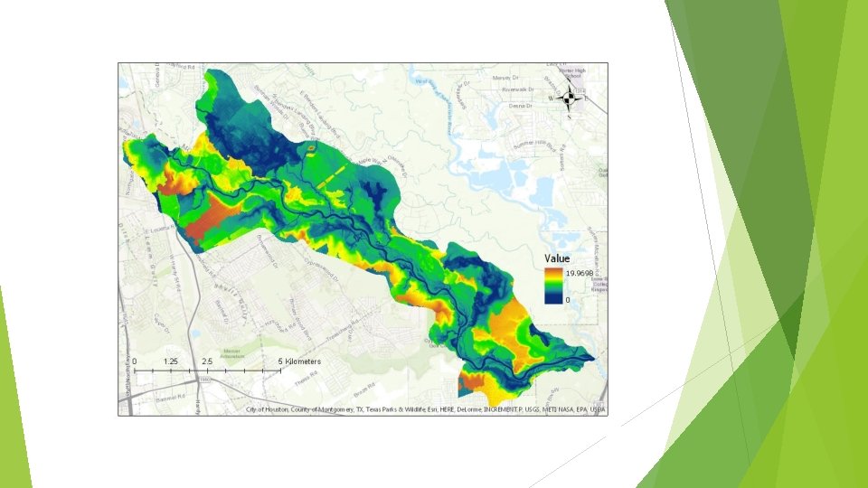
Modified HAND
. Geo. Net:")
References Sangireddy, H. *, C. P. Stark, A. Kladzyk*, Passalacqua, P. (2016). Geo. Net: An open source software for the automatic and objective extraction of channel heads, channel network, and channel morphology from high resolution topography data, Environmental Modeling and Software, 83, 58 -73, doi: 10. 1016/j. envsoft. 2016. 04. 026.

HAPPY THURSDAY!
- Slides: 16