GPS VLBI GEONET by GSI GPS Earth Observation

GPS VLBI
 (Seko et al. , 2003)")
GEONET by GSI (GPS Earth Observation Network System) (Seko et al. , 2003)
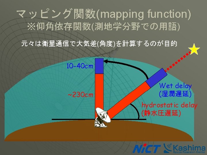
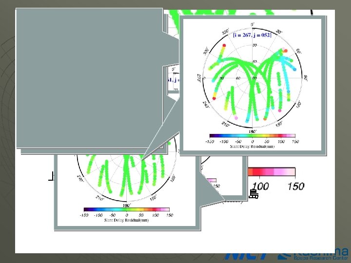
 Atmospheric delay Mapping function elevation azimuth coefficients")
マッピング関数(続き) Atmospheric delay Mapping function elevation azimuth coefficients
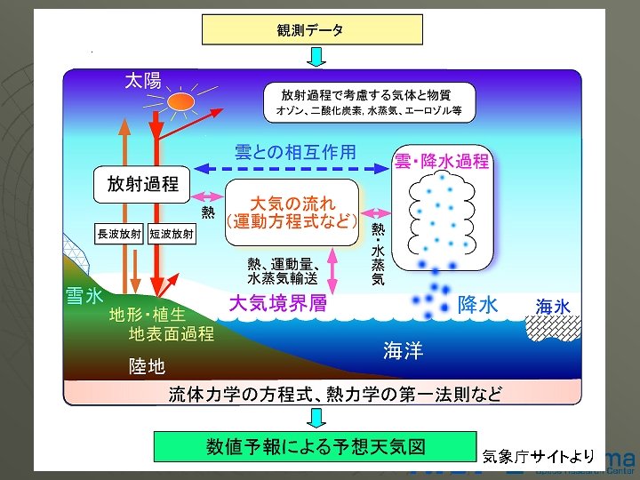
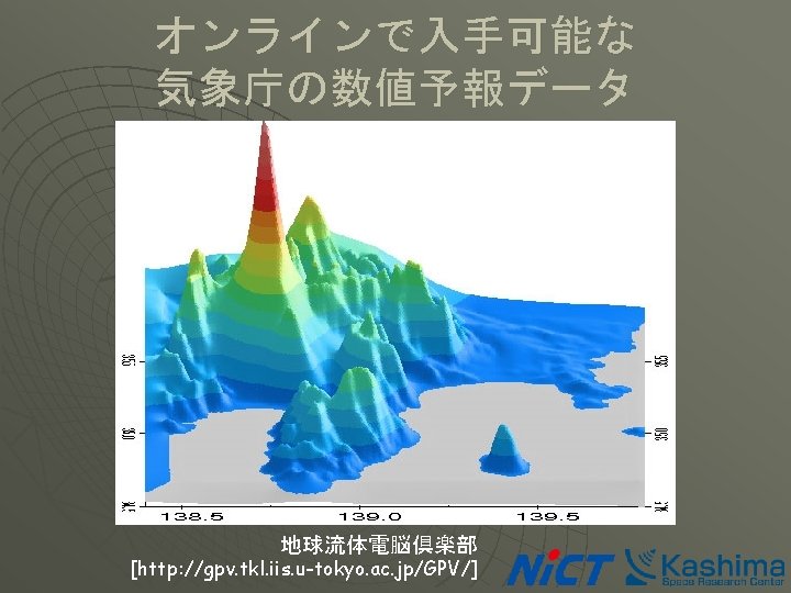
 Atmosphere model Numerical Weather Model")
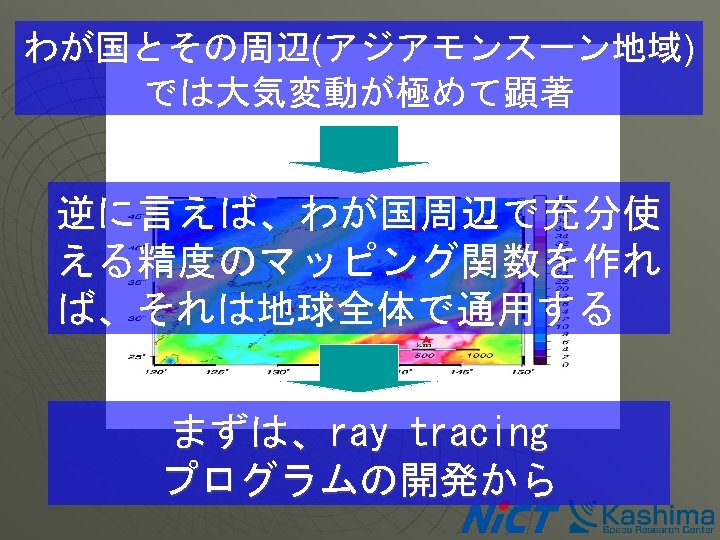
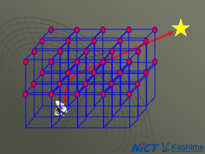
マッピング関数の作り方 波線追跡法 (ray tracing) Atmosphere model Numerical Weather Model

Vienna Mapping Function

2. 5°X 2. 0°
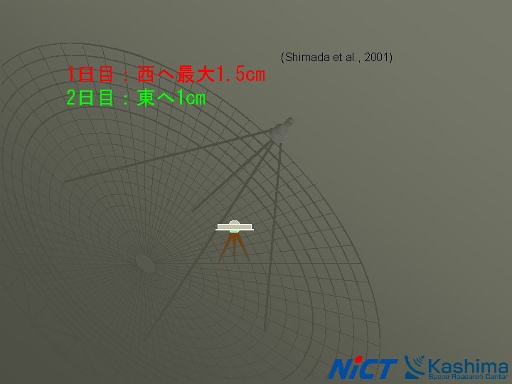

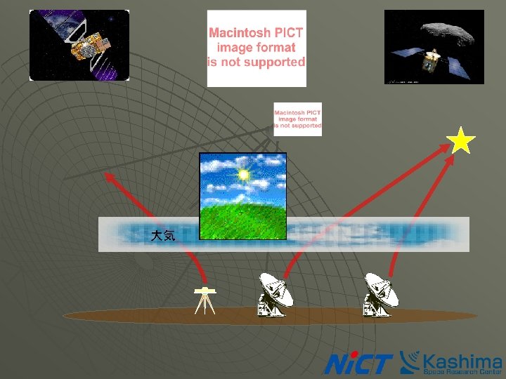
山岳波の影響 Mt. Fuji wind mountain lee wave wind cool wet warm dry Izu peninsula
 Regional Spectral Model (RSM) Mesoscale Model (MSM) Forecast range 90")
Global Spectral Model (GSM) Regional Spectral Model (RSM) Mesoscale Model (MSM) Forecast range 90 hours (00 UTC) 216 hours (12 UTC) 51 hours 18 hours Initial Times 00, 06, 12, 18 UTC 00, 12 UTC 00, 03, 06, 09, 12, 15, 18, 21 UTC Forecast Domain Global East Asia Japan Map projection - Horizontal Grid # 640 x 320 325 x 257 361 x 289 Truncation Wave # T 213 214 x 169 238 x 190 Grid spacing 0. 5625 deg. (~60 km) 20 km 5 km Vertical layers 40 40 Top Layer Pressure Precipitation process 0. 4 h. Pa 10 h. Pa Prognostic Arakawa-Schubert Large-scale condensation Prognostic cloud water content Prognostic Arakawa-Schubert Moist convective adjustment Large-scale condensation Lambert Conformal

900 h. Pa 925 h. Pa 950 h. Pa 1000 h. Pa 地表 00 UT 10/01/2004


Vienna Mapping Function
- Slides: 25