GPS Surveying GPS how it works GPS Garmin


- Slides: 22

GPS Surveying • GPS -- how it works • GPS -- Garmin 12

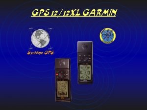
Change windows The Garmin 12 GPS Use to scroll and for keying Confirm Get back to a point TURN ON


Trilateration and a th 4 for timing

First page up…. 4 important pieces of data The satillite It’s signal Nav Error

Once you have a fix Where you are Your elevation (flaky) Are you moving? Are you late?

Getting back to where you started Hit GOTO Pick a Waypoint Follow the arrow Monitor Speed Check Distance

GPS Accuracy Non-corrected 5 -30 m Beacon-corrected 1 m Radio-corrected cms Post-processed dm to m

Differential GPS for precision surveying of river terraces and alluvial fans

Crash Course in Surveying With an Auto Level:

: ( (: First thing first: Gotta level the it 1

1 TOP = DISTANCE BOTTOM = DISTANCE CENTER LINE - ELEVATION D

The Auto Level: The Stadia Rod Or Surveyor’s Staff The Instrument And Tripod = l (m) * 100 (m) 1

How to read the Stadia Rod: 11 meters on the dot Each Black Rectangle = 1 cm Same for Each white one 10. 8 meters on the dot So what’s this height? 10. 66 meters

What you’ll see through the eyepiece: Top Stadia = 10. 91 m Stadia Lines Height = 10. 85 m Bottom Stadia = 10. 79 m To Get Distance Away: 1) (Top - Bottom Stadia) = 0. 12 m 2) Multiply difference by 100: Distance = 12 meters

For your X-section, be sure to get any Major changes in slope Height Distance (X, Y) 1

How to collect the data: NOTE: When shooting features off your line, you will also need a bearing


Side-Scan Li. DAR: Geo. Archeology


“Project North” is at the white house, And that is BM 1 BM 4 Same scale as x-axis PN BM 3 BM 2 BM 1 Figure out appropriate scale for x: 1 box = 1 meter? 10 meters? You want your entire survey to fit!
 Gps gps gps
 How does gps work
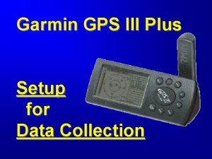
 Garmin gps iii plus
 Garmin gps 12
 Rapid static gps surveying
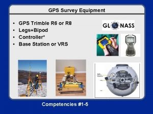
 Trimble gps survey equipment
 Safety at street works and road works pdf
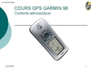
 Garmin 96
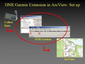
 Arc view download
 Garmin boot camp
 Garmin basecamp portable
 Squawk codes
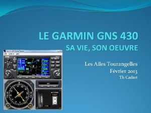
 Simulateur gns 430
 Pgft garmin
 Parallax surveying
 Methods of establishing control points in surveying
 Prolonging survey line
 Four corners surveying
 A plain scale of 1 cm=5m and show on it 37m
 Wax trimmer surveyor
 Hypotenusal allowance in surveying
 Latitude and departure in surveying
 Linear surveying
