GOESR Proving Ground The GOESR Proving Ground engages


 • Distributed more copies at the AMS annual meeting.")

 CTT")


- Slides: 11
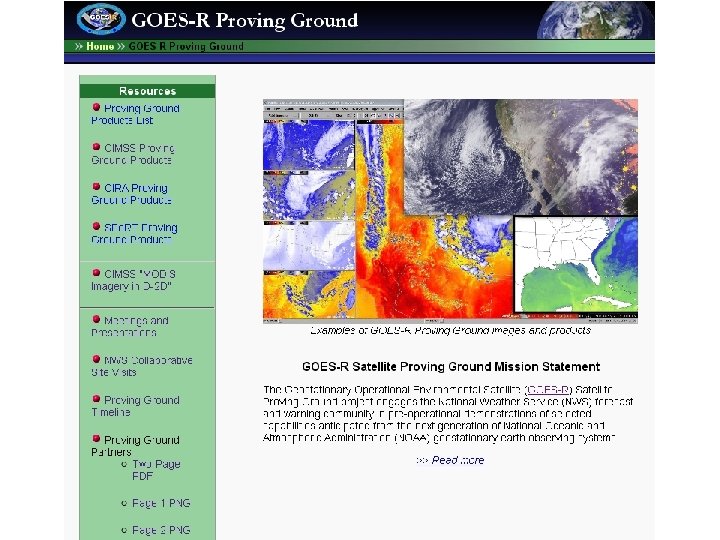
GOES-R Proving Ground The GOES-R Proving Ground engages NWS and other state and local offices in pre-operational demonstrations of selected capabilities of next generation GOES. Center for Satellite Applications and Research (STAR) Review 09 – 11 March 2010
• Radiances - Observed MODIS 7 -bands • Normalized Vegetation Index - MODIS • Land surface temperature - MODIS • Sea/Lake Surface Temperature - MODIS • Total totals, K-index, Lifted Index Stability Indexes - MODIS • Total Precipitable Water (MODIS) • GOES CAPE Stability Indices • GOES Convective Cloud Top Heights • Radiances - Simulated NWP imager radiances • Natural Color RGB - MODIS • GOES Sounder Ozone • Mesoscale Winds - GOES imager • Stability Indexes - AIRS • AVHRR Cloud-top type/temperature/phase/optical depth • Satellite-NWP Sky Cover • Conditional Stability Nearcasting • Weather Event Simulator PG Products from CIMSS
GOES-R algorithm being demonstrated in operational AWIPS Convective Initiation/Cold Top Cooling Interaction with Sullivan (MKE) NWS Office 05: 02 UTC 04: 30 UTC CI likely 06: 30 UTC CI occurring Forecaster generated screen captures from Satellite product leads Lightning AWIPS at MKE. Product the radar signature 4 from UW/CIMSS Center for Satellite Applications and Research (STAR) Review 09 – 11 March 2010
WES beta-version status (ABI radiances) • Distributed more copies at the AMS annual meeting. Poster will be presented. • Beta release packaged: – This contains the June-04 -05 -2006 storm outbreak (CONUS and mesoscale), Hurricane Katrina, band differences, a beta release of WES guide, etc. • Comments received 5
ABI data in AWIPS 6
Sample Images TPW SST (Daytime) CTT
Area Forecast Discussion MAIN SHORT TERM FORECAST PROBLEM IS EAST FLOW AND MARINE LAYER INFLUENCE OVER EASTERN WISCONSIN. . . AND DENSE FOG POTENTIAL IN THE WEST. THINK MOST OF THE DENSE FOG WOULD BE IN THE RIVER VALLEYS. . . WITH A TENDENCY FOR PATCHY FOG AND SOME STRATUS AGAIN IN THE EAST WITH MORE OF A GRADIENT. MODIS 1 KM IMAGERY LAST NIGHT SHOWED THE DENSE FOG IN LONE ROCK AND BOSCOBEL WAS CONFINED TO THE IMMEDIATE WISCONSIN RIVER VALLEY. . . IMPORTANT INFORMATION. THE LOCAL RIVER VALLEY DENSE FOG IS NOT SEEN IN THE NORMAL 2 KM GOES. (HENTZ/MKX)
. MARINE. . . 04 Z TAMDAR SOUNDING VCNTY OF MKE SHOWING WINDS HAVE INCREASED TO 25 KTS AT 2900 FT AROUND 04 Z. ALONG WITH FORECAST SOUNDINGS FOR LATE THIS MORNING. . . THINKING SFC WNDS WITH GUSTS AOA 22 KT MAY MIX DOWN TO LAKE SFC A LITTLE EARLIER. HENCE. . . MOVED SMALL CRAFT ADVISORY START TIME TO 16 Z AS PRES GRADIENT TIGHTENS. GRADIENT BEGINS TO LOOSEN AS CDFNT SWEEPS IN FROM THE NORTH AFT 06 Z/11. WL BE CLOSE TO RETURNING TO SMALL CRAFT ADVISORY LEVELS ON MONDAY IN LOW LEVEL COLD AIR ADVECTION BEHIND DEPARTING CDFNT. FINALLY SOME CLEARING OVER NEARSHORE WATERS. TERRA MODIS IMAGE FROM 1640 Z/09 SHOWS CONSIDERABLE INCREASE IN ICEPACK OVER NEARSHORE WATERS. AREA FORECAST DISCUSSION NATIONAL WEATHER SERVICE MILWAUKEE/SULLIVAN WI 343 AM CST SUN JAN 10 2010
AVHRR in AWIPS • CIMSS continues to test and evaluate AVHRR imagery in AWIPS (individual channels, and derived cloud products) • Plan to begin distribution to NWS Central Region • VISITview training lesson
VISITview training lesson will be completed by the end of January