Globes and Maps Globes A globe is a

Globes and Maps

Globes • A globe is a round model of the Earth that shows its shape and land as they actually are. Globes Advantages • Shows true land shape and distances Disadvantages • Difficult to carry • Cannot show details

Maps • A map is a flat drawing of all or part of the Earth’s surface. Maps Advantages • Shows small areas in great detail • Displays different types of information • Easy to carry Disadvantages • Changes the shapes and distances of land

Place M or G beside each statement. • ____ Shows the average temperature of regions. • ____ Shows the types of crops grown around the world. • ____ Shows land masses in their correct shapes and sizes. • ____ Shows small areas in great details. • ____ Cannot show details, such as cities or roads.

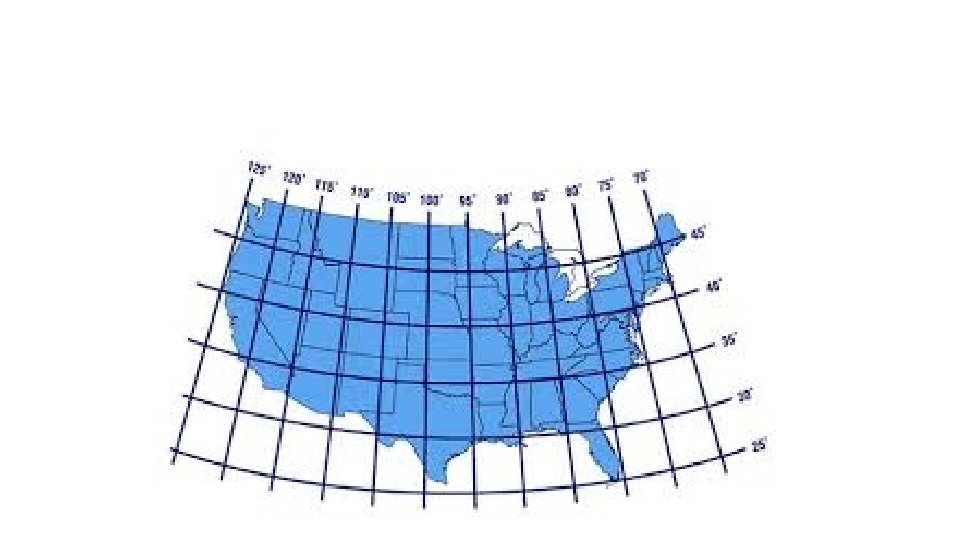
Latitude • Lines of latitude are imaginary circles that run east to west around the globe. • The Equator circles the middle of the Earth at 0° latitude. It divides the Earth into Northern and Southern Hemispheres.

Lines of Latitude
 run from the North Pole to the South")
Longitude • Lines of longitude (meridians) run from the North Pole to the South Pole. • The Prime Meridian is 0° longitude. It divides the Earth into Eastern and Western Hemispheres.

Lines of Longitude

• When writing coordinates, latitude is written first. • For example: Smithfield’s coordinates are: 35. 5085° N, 78. 3394° W
- Slides: 10