Georgias Geographic Regions Essential Question What are the


 • Water: 854")


 and the")


- Slides: 38
Georgia’s Geographic Regions
Essential Question? ? ? • What are the significant geographic regions of Georgia, and how have they impacted Georgia’s growth and development?
Location Between 30 – 35 Degrees North Latitude Between 81 – 85 Degrees West Longitude Georgia
Georgia Quick Facts • Land: 58, 910 square miles (21 st) • Water: 854 square miles • Coast: 100 miles (16 th) • Shoreline: 2, 344 miles (12 th)
315 miles 250 miles
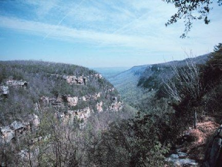
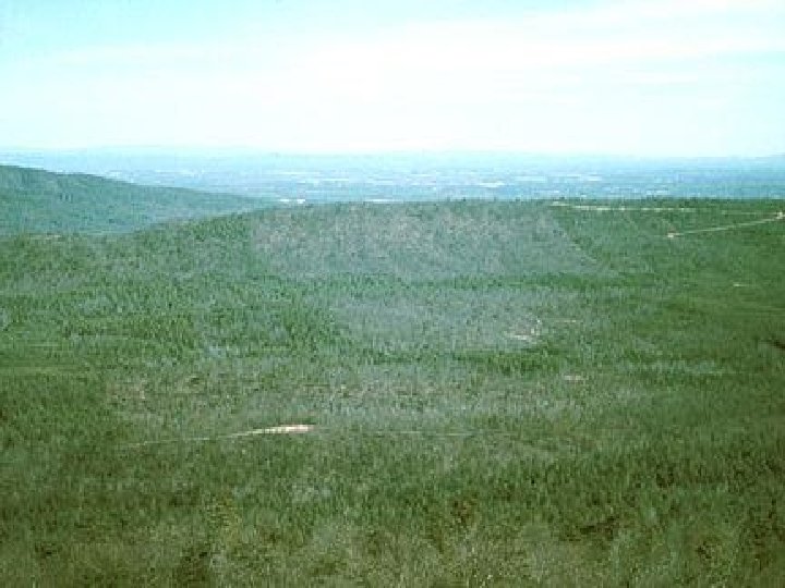
Appalachian Plateau • • Smallest Limestone caves, canyons, rock formations TAG – NW Corner of state Lookout Mt Elevation = up to 2000 ft Cloudland Canyon Only source of coal in GA Battle of Chickamauga – Civil War
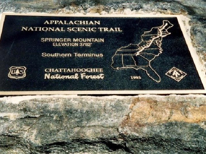
Ridge and Valley • Located b/w Blue Ridge and Appalachian Plateau • Narrow ridges that run parallel to the valleys. • Georgia’s best source of Apples • Carpet capital of the world • Beginning of Appalachian Trail
Blue Ridge • • Northeastern part of the state Part of Appalachian Mt. Range Georgia’s most scenic region Brasstown Bald – GA’s highest point (4, 784 Feet) • Most rainfall in Georgia • Source of the Savannah and Chattahoochee Rivers
Brasstown Bald
Brasstown Bald
Tallulah Gorge
Gorge Trail
Rope Bridge Across Gorge
Piedmont • • Mean “foot of the mountains” Most Populated Rolling hills Bedrock – solid granite base just beneath the surface • Red clay • We live here • Atlanta
Atlanta
Construction
Stone Mountain
Subdivisions
What is a Fall Line?
A Fall Line marks the area where the upland region (continental bedrock) and the coastal plain meet.
The Fall Line in Georgia and South Carolina
How does the Savannah River look as it crosses the Fall Line?
Coastal Plain • • • Largest Region Flat Two Parts: Inner & Outer Vidalia Onions Mild Climate Wood Pulp Okefenokee Swamp 100 miles of Coastline Peanuts
Pine Forest
Timber Yard
Farming in SW Georgia
Dirt Road Through Rural Area
Coastal Marshland
Cotton Field
Coastal Plains Farming
The Okefenokee Swamp