Georgias 5 Regions Appalachian Plateau Ridge and Valley


 are located • Low open valleys")
 •")

; main economy used to be")


 • Divided into 2 sections")

- Slides: 17
Georgia’s 5 Regions • Appalachian Plateau • Ridge and Valley • Blue Ridge • Piedmont • Coastal Plain ©.
Name that Region I hope that you paid attention to the map. Even though you haven’t learned about the regions yet, I am going to show you a few pictures. Based on the names and the picture of the regions below, I want you to guess which region that each picture is located. ©.
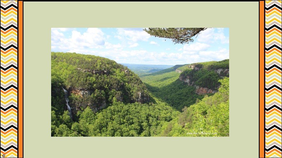
Appalachian Plateau • Smallest of the 5 Georgia regions • Only counties found here are Dade and part of Walker • Northwestern corner (sometimes referred to as the TAG corner) Why? • Main economy used to be mining • Georgia’s only source of coal • Soil is bad here, so agriculture was not an option ©.
Appalachian Plateau • Scenic area • Home to Cloudland Canyon and Georgia’s portion of Lookout Mountain • Lots of limestone caves and rock formations ©.
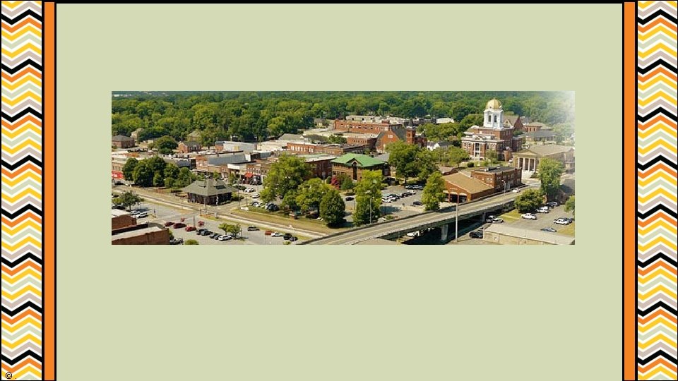
Ridge and Valley • Where we (Bartow County) are located • Low open valleys and narrow ridges • Most important industry: textiles • Dalton is known as the “Carpet Capital of the World. ” ©.
Ridge and Valley • Site of important civil war battles (Battle of Resaca) • Major transportation route from Georgia to Tennessee. ©.
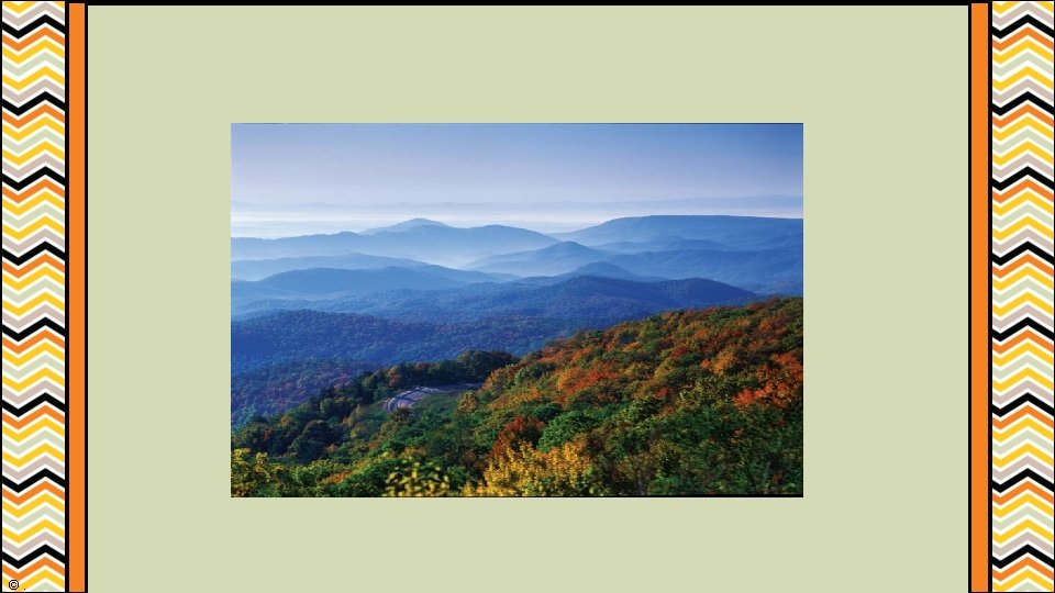
Blue Ridge • Northeast portion of the state • Home to Georgia’s largest mountains • Highest point is Brasstown Bald • Has the most precipitation in the state (about 80 inches per year) and is the start of most of Georgia’s rivers. ©.
Blue Ridge • Site of Georgia’s gold rush (Dahlonega); main economy used to be mining. • Today, the region relies heavily on tourism. ©.
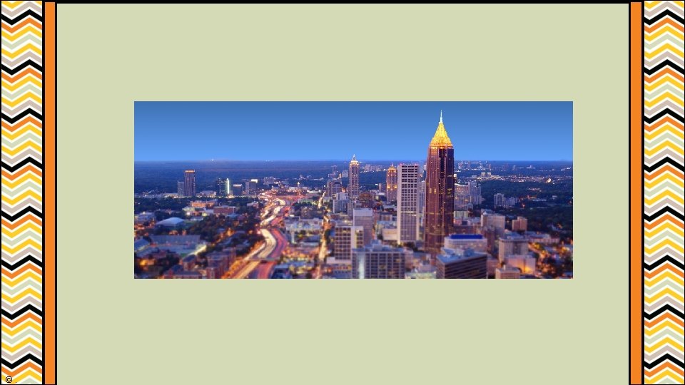
Piedmont • Located in the middle portion of the state. • Most populous region – 4. 5 million people live here • Around 50% of Georgia’s population • Includes Athens, Atlanta, Augusta, and Macon ©.
Piedmont • Many urban environments • Agriculture and manufacturing are important • Site of Chattahoochee, Flint, Ocmulgee, and Oconee Rivers • Red clay and granite are plentiful • Ex: Stone Mountain ©.
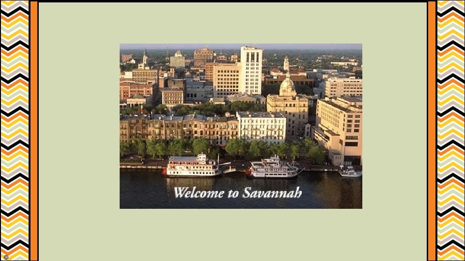
Coastal Plains • Largest portion of the state (60%) • Divided into 2 sections – Inner and Outer • Inner: agricultural heartland of the state • Peaches, peanuts, cotton, and Vidalia onions • Outer: home to many pine trees, Savannah, and the Atlantic shore • Paper production and tourism ©.
Coastal Plains • Freshwater wetlands are located in the southern part of the Coastal Plains. • Ex. Okefenokee Swamp ©.