Geophysics 1 Sea Ice Remote SensingSAR image Geophysics
 해수가 얼어서 생긴 얼음 Remote Sensing-SAR image")

 NASA의 Kid Sat image Remote Sensing-SAR image")
 Remote Sensing-SAR image")


- Slides: 24
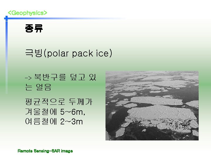
<Geophysics> 1. 서론 Sea Ice (해빙) 해수가 얼어서 생긴 얼음 Remote Sensing-SAR image
<Geophysics> 해빙의 분포 • 북아메리카 2천 5백만㎢ 의 면적 Remote Sensing-SAR image
<Geophysics> 육상 정착빙(land fast ice) NASA의 Kid Sat image Remote Sensing-SAR image
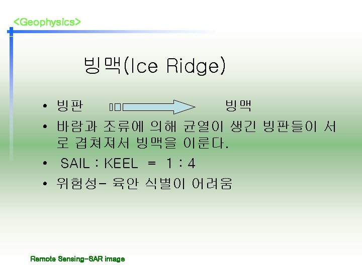
<Geophysics> 빙맥(Ice Ridge) Remote Sensing-SAR image
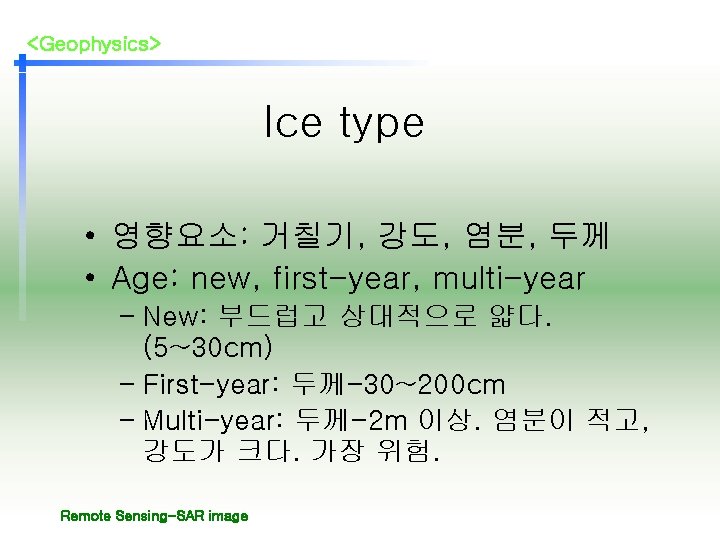
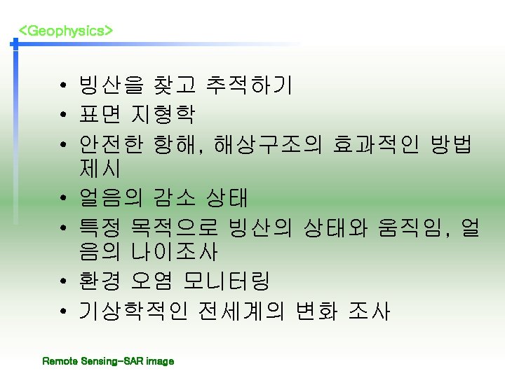
<Geophysics> 2. 본론 Examples of sea ice information -ice type / age / motion -ice concentration Remote Sensing-SAR image
<Geophysics> New Ice • New Ice: 최근에 형성 된 얼음. – Frazil ice – Grease ice – Slush – Shuga Remote Sensing-SAR image
<Geophysics> First & Multi-year Ice Remote Sensing-SAR image
<Geophysics> Ice concentration • 기존의 연구자료를 바탕으로 얼음의 분 포 상태와 집적도를 조사 In the Woods' Island area, very close pack grey and nilas Remote Sensing-SAR image
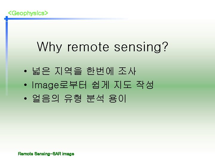
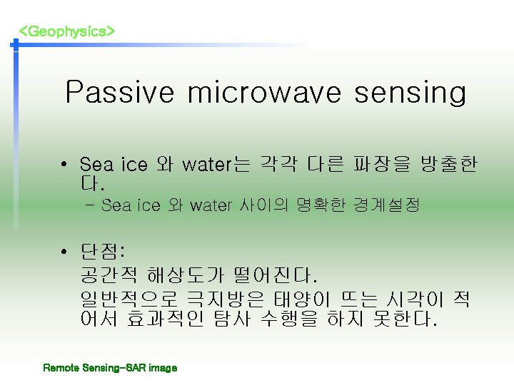
<Geophysics> The type of remote sensing • Active Radar • Passive Microwave sensor Remote Sensing-SAR image
<Geophysics> Active radar • 표면과 내부의 특징을 모두 조사 가능. • backscattering – Surface factor : » roughness » snow cover » Internal geometry / microstructure – 얼음의 비전도성: salinity, temperature Remote Sensing-SAR image
<Geophysics> Surface texture • New ice: dark • First-year ice: 다양한 밝기 • Multi-year ice: Bright Remote Sensing-SAR image
<Geophysics> Canada’s banks island Remote Sensing-SAR image
<Geophysics> Sea Sat image • Canada banks island 의 남부해 안을 따라 찍은 image • 2004년 6월 1일 pm 18: 00 Remote Sensing-SAR image
<Geophysics> Image analysis chart Remote Sensing-SAR image
<Geophysics> Egg Chart Remote Sensing-SAR image