Geography Skills Parts of Maps Title tells what


 § Sinusodial Projection § Azimuthal Projection § Goodes Interupted Equal.")
- Slides: 19
Geography Skills
Parts of Maps § Title – tells what the map is about § Orientation – compass rose for directions § Date – when was the map created
§ Author – who produced the map § Legend or Key explains colors, symbols § Scale- ratio of map to real-life size Classification Range Examples large scale 1: 0 – 1: 600, 000 1: 0. 00001 for map of virus; 1: 5, 000 for walking map of town medium scale 1: 600, 000 – 1: 2, 000 Map of a country 1: 2, 000 – 1: ∞ 1: 50, 000 for world map; 1: 1021 for map of galaxy small scale
What parts of the map can you find?
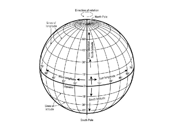
Parallels and Meridians § Longitude- vertical lines on a map or globe that measure distance east and west. § Latitude- horizontal lines used to measure distance north and south.
The Global Grid
Types of maps
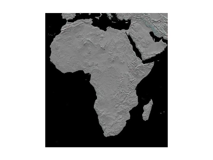
§ Physical Map- shows the physical features of the earth’s surface, or the differences in elevation.
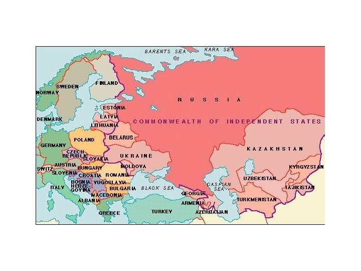
§ Political Map- shows the boundaries between countries.
§ Special Purpose Maps. Road maps, natural resource maps, economic activity maps, and time zone maps, etc.
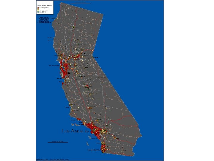
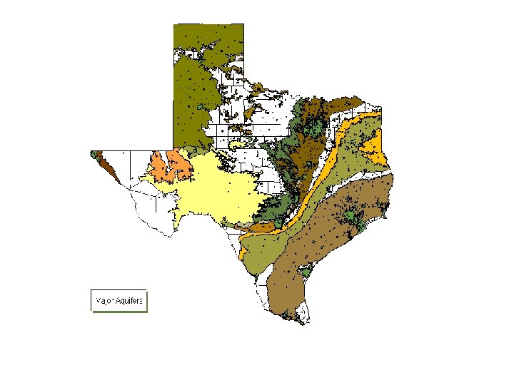
What kinds of maps are these? What would you use them for?
Map Projections § It is a way of representing the rounded earth on a flat surface. § Mercator Projection § Conic Projection
Map Projections (cont. ) § Sinusodial Projection § Azimuthal Projection § Goodes Interupted Equal. Area Projection § Robinson Projection § Gall-Peters Projection