Geography Marvellous Maps Year One Geography Year 5


- Slides: 9
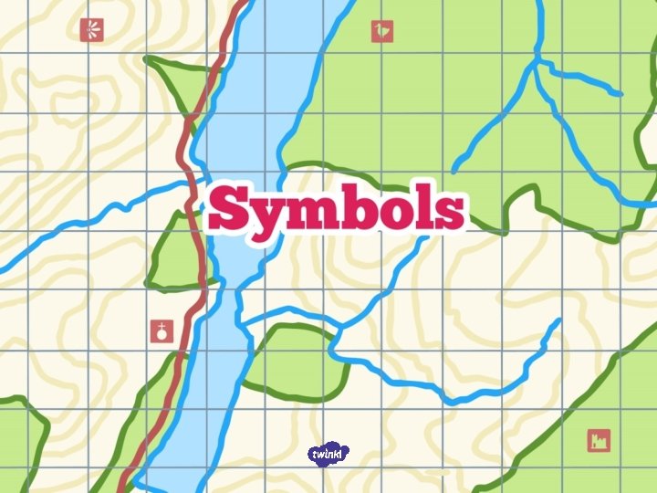
Geography Marvellous Maps Year One Geography | Year 5 | Marvellous Maps | Symbols | Lesson 2
• I can use a key to describe features on an Ordnance Survey map. • I can tell you why maps have symbols on them. • I can use a key to find out what a symbol means. • I can explain what makes a good map symbol. • I can recognise some map symbols on an Ordnance Survey map.
Ordnance Survey maps were first made for the military in the 1700 s, but it wasn’t until the early 20 th century that they started work on the maps we might recognise today. These maps were all drawn and labelled by hand… can you imagine the numbers of people, and the time that would take… never mind how much paper! Look at examples to see what an Ordnance Survey map looks like today:
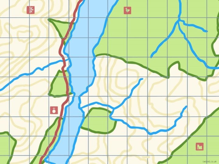
Watch this short video which explains what some of the symbols on a map mean. https: //www. bing. com/videos/search? q=ordnance+survey+maps+online&&view=d etail&mid=E 4158327 ACB 7 CE 2 E 1 E 01&&FORM=VR DGAR Look closely at the section of a map you have been given. What do you think the symbols on the map stand for?
What kinds of colours have been used for the symbols? Why? (To show up against the map backgrounds and to link similar symbols. ) Can anyone work out what the orange lines might show? They are contours and show the height above sea level in metres; the closer the lines are together, the steeper the hill.
• I can use a key to describe features on an Ordnance Survey map. • I can tell you why maps have symbols on them. • I can use a key to find out what a symbol means. • I can explain what makes a good map symbol. • I can recognise some map symbols on an Ordnance Survey map.