Geography MAP TERMS Find one state capital How


- Slides: 45
Geography MAP TERMS
Find one state capital.
? �How did you know how to find a state capital?
Map Key �Map Key --table of symbols used on a map or chart Also called a legend
Symbol �What does the tree represent on the map? �What do you call something that stands for something else?
Symbols �Symbol - Anything that stands for something else �Wherever you see a tree, there is a park �Wherever you a blue line, there is a road
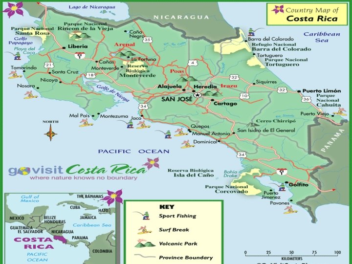
Based on the map key, what does this map show you?
About how many miles is it from Tallahassee, Florida to Austin, Texas? .
? �How did you know how to find the distance?
Scale �Scale -- A unit of measurement on a map that is used to represent a distance on Earth
What on this map that helps you find direction? ? ?
Compass Rose �Compass rose-- A drawing on a map that shows direction
Cardinal directions �Cardinal directions -- The directions north, south, east, and west that are found on a compass rose
Intermediate directions �Intermediate directions--The directions halfway between the cardinal directions Northeast, northwest, southeast
A trick for “intermediate” �Intermediate “inter” = in “Mediate”= the middle Intermediate = “in the middle”
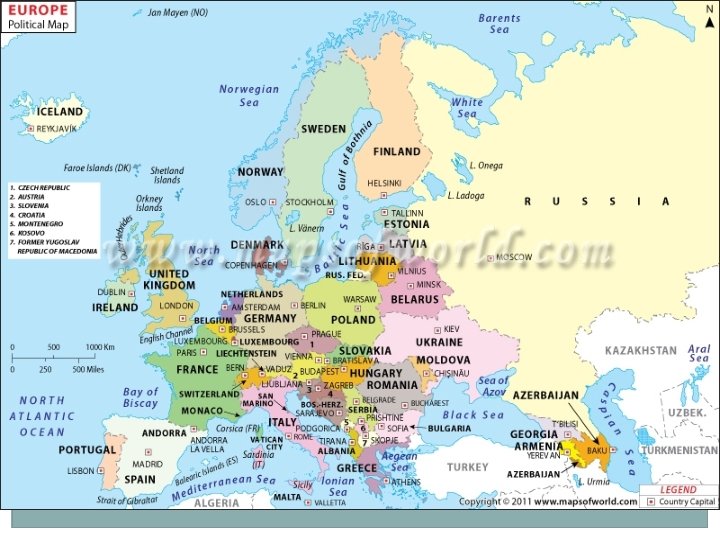
What on this map helps you figure out this area’s location in the world?
Map locator �A small map that shows where the area of the map is in the world
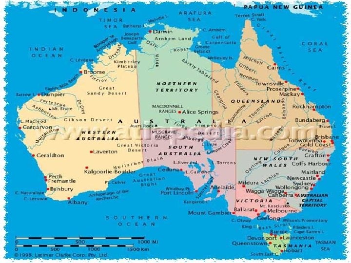
�North America, South America, and Africa are all examples of what? Continents!
Continent �Continent– One of the seven large bodies of land on Earth. North America, South America, Africa, Europe, Asia, Australia, and Antarctica
Hemisphere � This is an example of one of Earth’s hemispheres � Based on this picture of Earth, what do you think a hemisphere is? � Hemisphere– One of the halves of the Earth
�Hemisphere– One of the halves of the Earth “hemi” = half “sphere” = sphere � Half of a sphere!
There are four hemispheres!
�We are a part of the Western Hemisphere and the Northern Hemisphere! �What two hemispheres is Australia a part of?
? �What is the red line that is running across the middle of the globe?
Equator �Equator– the imaginary line circling the Earth halfway between the North and South Poles. It divides the world into the Northern and Southern hemisphere! Line of latitude marked 0 degrees
? �If the Equator is the imaginary red line running across the globe, what is the red line running vertically?
Prime Meridian �Prime Meridian--- an imaginary line running from North Pole to South Pole Divides the world into Eastern and Western Hemispheres Line of longitude marked 0 degrees
Latitude �The equator runs East and West across the middle of the globe �But there are other imaginary lines that run across the globe!
latitude �These other lines are called lines of latitude!
latitude �Latitude – imaginary lines that run East to West across the Earth measure distance North or South of the Equator Measured in degrees North and South
latitude �The Equator is the middle, so it is 0 degrees
�What do you notice about the numbers as you get further away from the Equator? They get bigger! �What do you call the first latitude line NORTH of the equator 20 degrees North � Its like saying, “this line is 20 degrees North of the Equator!”
�The next line NORTH, is labeled 40 degrees It is called 40 degrees North Its like saying, “This line is 40 degrees North of the Equator!” �What would call the first latitude line SOUTH of the Equator? 20 degrees South!
Here are some tricks � 1– “Lat flat” Latitude lines run FLAT across the Earth � 2) lateral latitude “lateral” means side-to-side
Longitude �The Prime Meridian runs down the center of the Earth from Pole to Pole �But there are other imaginary lines running North and South, too!
Longitude
Longitude �Longitude – imaginary lines that run North and South Measures distance East or West of the Prime Meridian Measured in degrees East and West
Longitude �The Prime Meridian is in the middle, so it is 0 degrees
�What do you notice about the numbers as you get further away from the Prime Meridian? They get bigger! �What do you call the first Longitude line EAST of the Prime Meridian? Called 20 degrees EAST � Its like saying, “this line is 20 degrees East of the Prime Meridian!”
�The next line EAST, is labeled 40 degrees It is called 40 degrees East Its like saying, “This line is 40 degrees East of the Prime Meridian!” �What would call the first latitude line WEST of the Prime Meridian? 20 degrees West!
Here’s a trick �“long” longitude