
Geography 5 Themes of Geography Location Absolute Relative
Geography

5 Themes of Geography • Location – Absolute – Relative • Place – Cultural characteristics – Physical characteristics • Region • Movement • Human and Environment Interaction
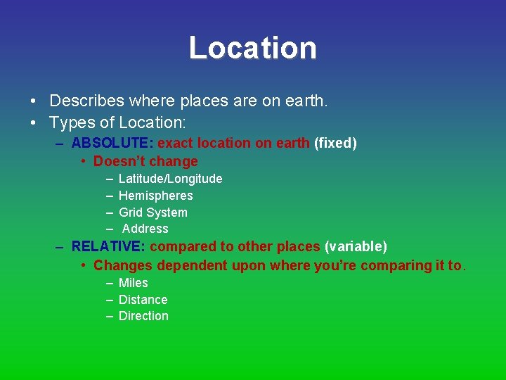
Location • Describes where places are on earth. • Types of Location: – ABSOLUTE: exact location on earth (fixed) • Doesn’t change – – Latitude/Longitude Hemispheres Grid System Address – RELATIVE: compared to other places (variable) • Changes dependent upon where you’re comparing it to. – Miles – Distance – Direction
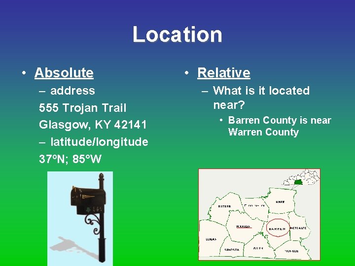
Location • Absolute – address 555 Trojan Trail Glasgow, KY 42141 – latitude/longitude 37ºN; 85°W • Relative – What is it located near? • Barren County is near Warren County
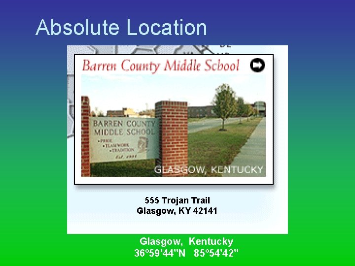
Absolute Location 555 Trojan Trail Glasgow, KY 42141 Glasgow, Kentucky 36° 59’ 44”N 85° 54’ 42”
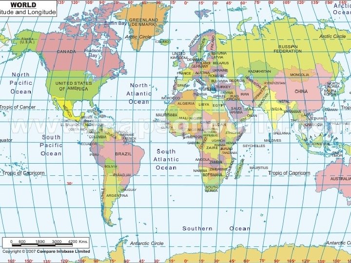
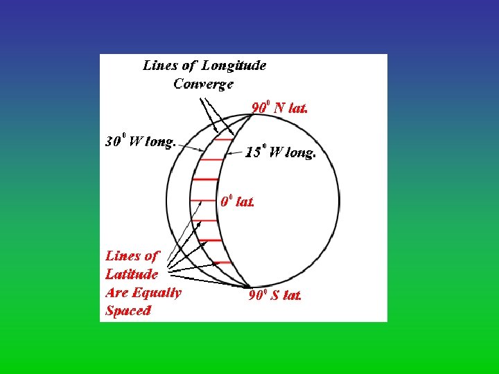
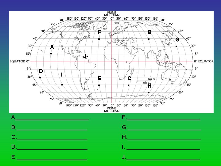
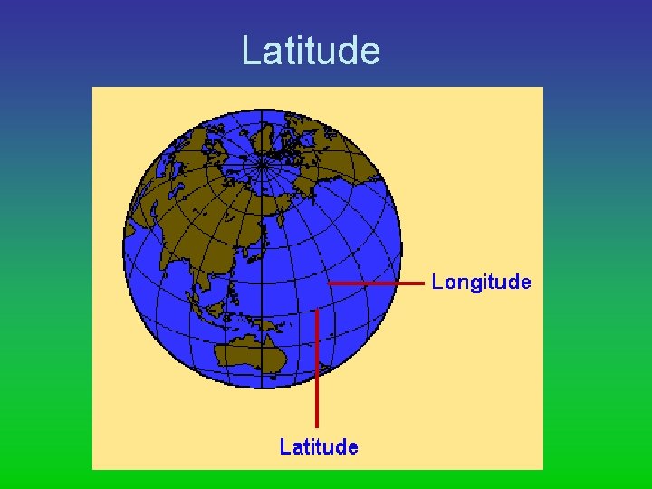
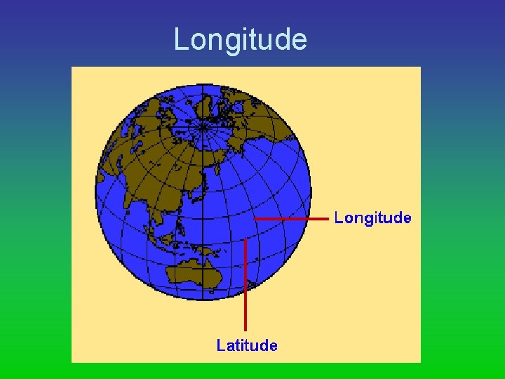
Latitude and Longitude
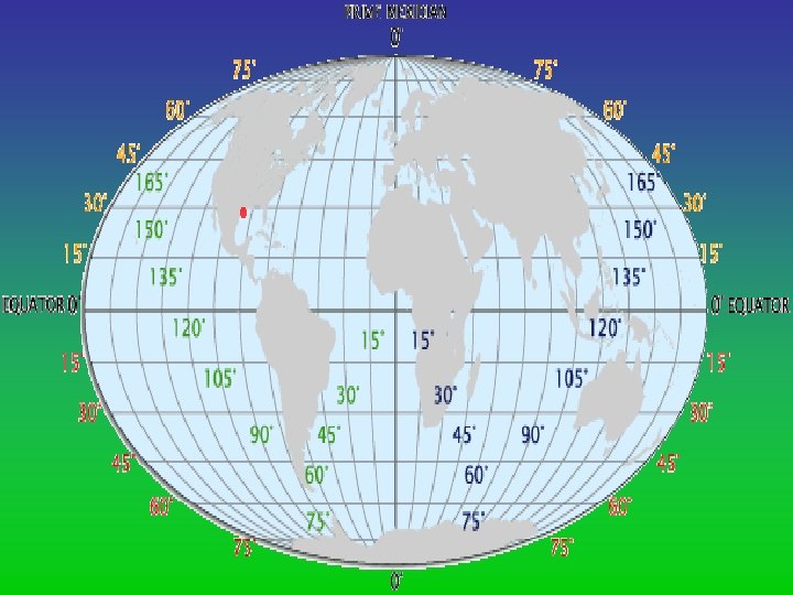
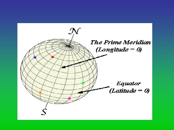
• Lines of Latitude and Longitude are measured in terms of degrees. • Degrees (°) are divided into minutes. – Minutes symbol is ΄. – There are 60 minutes in a degree. • Latitude degrees are N and S. – 0° to 90°N/S • Longitude degrees are E and W. – 0° to 180°W/E
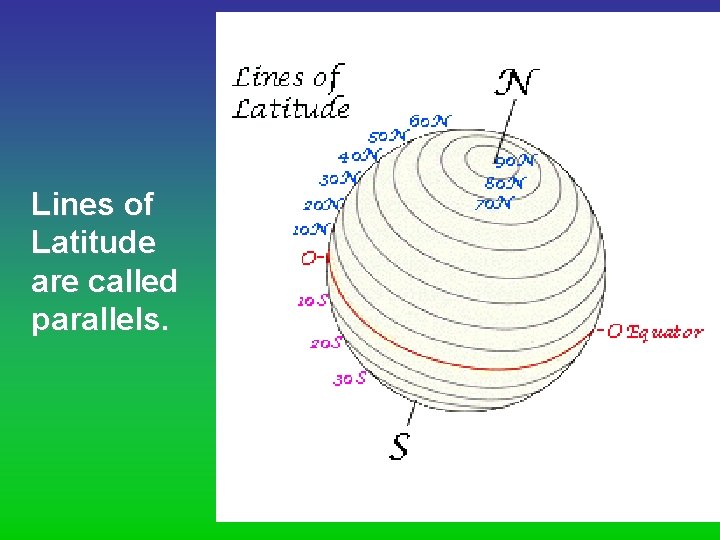
Lines of Latitude are called parallels.
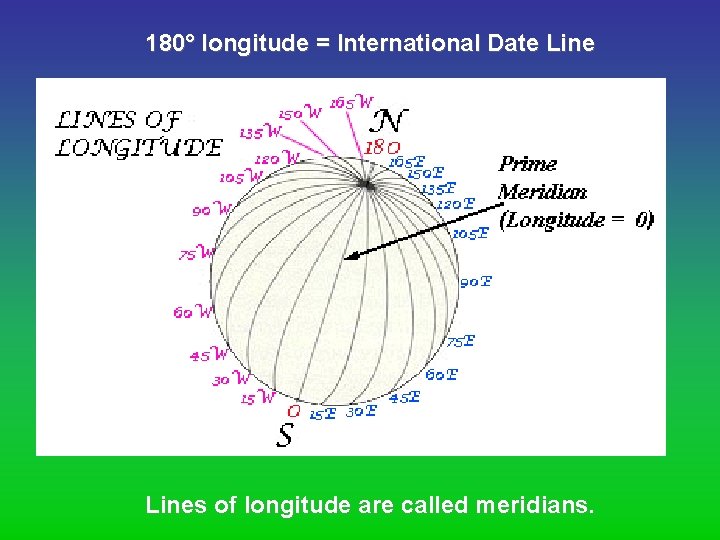
180° longitude = International Date Lines of longitude are called meridians.
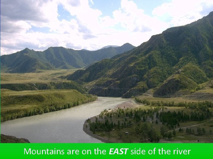
Mountains are on the EAST side of the river
Create a map that shows the route you traveled from your house to BCMS. Include street names, road numbers, turns, as if you were giving someone directions to your house.
Place • A place is defined by it’s unique characteristics. • What kind of place is it? What do you think of when you imagine China? Japan? Russia? Saudi Arabia?
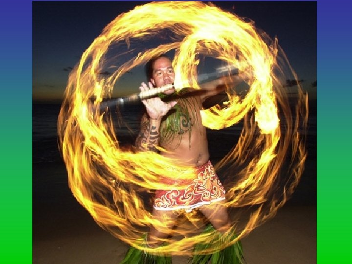
Place • Places have both human and physical characteristics, as well as images. – Physical characteristics – Cultural/human characteristics
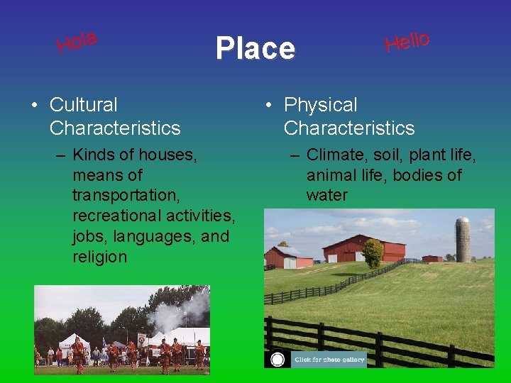
a l o H Place • Cultural Characteristics – Kinds of houses, means of transportation, recreational activities, jobs, languages, and religion Hello • Physical Characteristics – Climate, soil, plant life, animal life, bodies of water
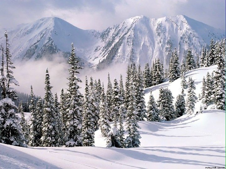
Physical Characteristics • Specific to THAT place. – The way a place looks. • Created by nature. – – Mountains Rivers, Lakes, Seas Climate Vegetation • Examples: – – Andes Mountains are in South America. Amazon River flows through Brazil. Pampas are located in Argentina. The isthmus of Panama connects Central & South America.
Cultural Characteristics • Specific to THAT place. – Peoples activities change the way a place looks or is represented. • Man-made or invented. – – Language Unique buildings Religious Practices Celebrations/traditions/holidays • Examples: – – Portuguese is the official language of Brazil. Many Mexicans are Catholic. Mayan ruins are located in Mexico. Cinco de Mayo is a national holiday in Mexico.
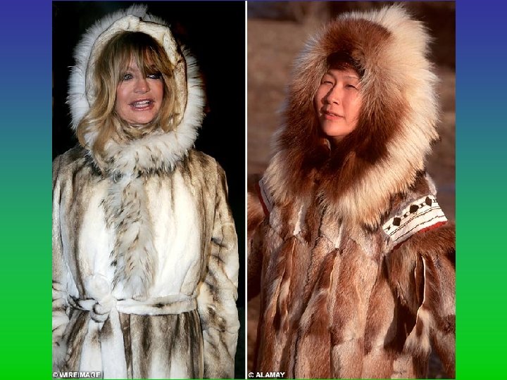
Native Americans in Alaska wear different clothes, have different architecture, and have different lifestyles than the Native Americans in Florida. Describe a favorite city, state, or country. How do the physical characteristics in the place influence the customs?
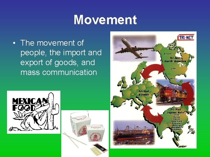
Movement • The movement of people, the import and export of goods, and mass communication
Movement • Places do not exist in isolation. – Interconnectedness of the world changes the way places “look”. • Today: “globalization” – People, goods & ideas move from place to place. • Examples – Immigration from Latin America to US. – War in Iraq (troops, supplies, ideas, people) – My. Space, Facebook (ideas)
Movement • The movement of people, the import and export of goods, and mass communication (ideas) have all played major roles in shaping our world. People everywhere interact. They travel from place to place and they communicate. We live in a global village and global economy.
Movement • Not only do humans move but also ideas move; fashions move; fads move. • • What is an example of an idea that moves? Fashion? Fad? How do we depend on people in other places? How would our lives change if our movement options changed? • What would happen if we traveled by camel or horse? • How do we actually get food?
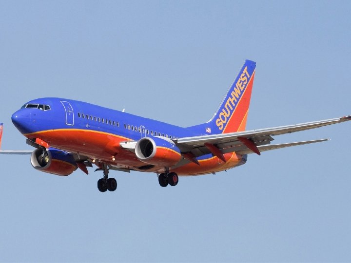
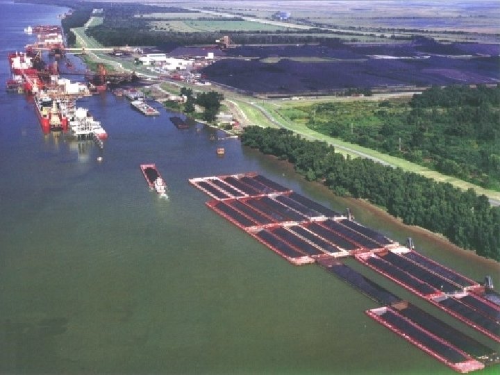

What places did your ancestors leave in order to settle in the US? Why do you think they moved to America?
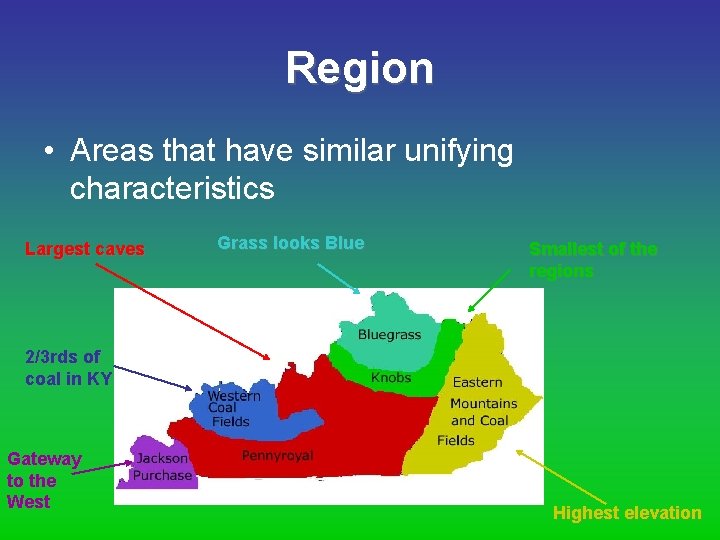
Region • Areas that have similar unifying characteristics Largest caves Grass looks Blue Smallest of the regions 2/3 rds of coal in KY Gateway to the West Highest elevation
Region • The world is divided into different regions based upon similarities & differences. – – – Climate Location Beliefs Languages Ethnicity/Race • Types: – Formal – Functional – Vernacular (perception)
Formal Region • Most common/familiar. • Determined by the distribution of a uniform characteristic (physical or cultural) – Location – Climate – Religion • Examples – The Rockies, – The Great Lake States – Tropics (countries located near equator)
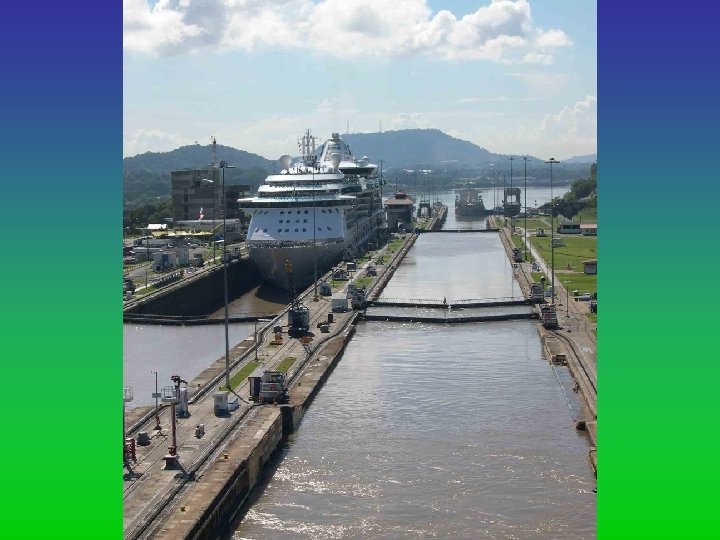
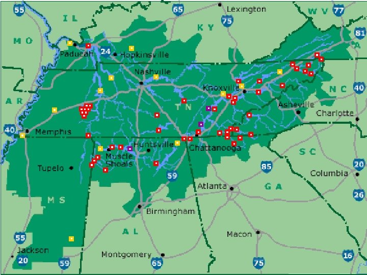
Functional Region • Serves a purpose that affects places around it. – Distributes goods/people – Serves specific purpose • Examples: – Panama Canal – TVA (Tennessee Valley Authority) – Hollywood
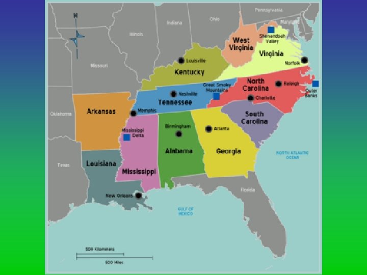
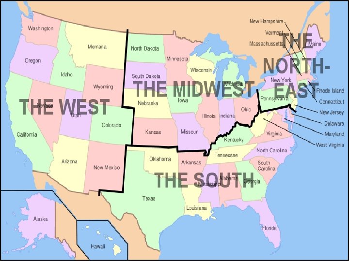
Vernacular Region • Areas loosely defined by people's perception (i. e. , The South, The Middle East). • What region do we live in? What type of region is it? What are its characteristics? --Southern Kentucky --near WKU
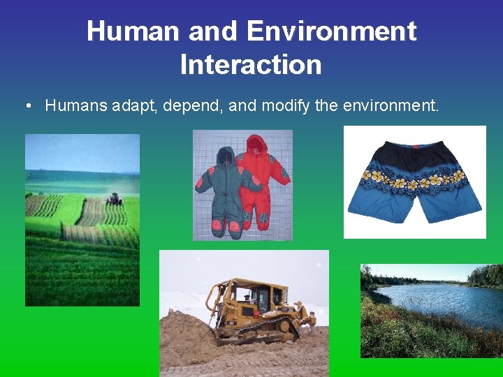
Human and Environment Interaction • Humans adapt, depend, and modify the environment.
Human/Environmental Interaction (HEI) • The environment & people are interconnected. How do humans and the environment affect each other?
HEI • There are three key concepts to human/environmental interaction: – Humans adapt to the environment. – Humans modify the environment. – Humans depend on the environment.
HEI • Consequences to those actions depend upon how people choose to interact with the world and use their resources. – Positive/Negative – Intentional/Accidental – Favorable/Destructive
HEI • Current Enviromental Issues: – Climate Change (global warming) – Energy Resources – Water Conservation
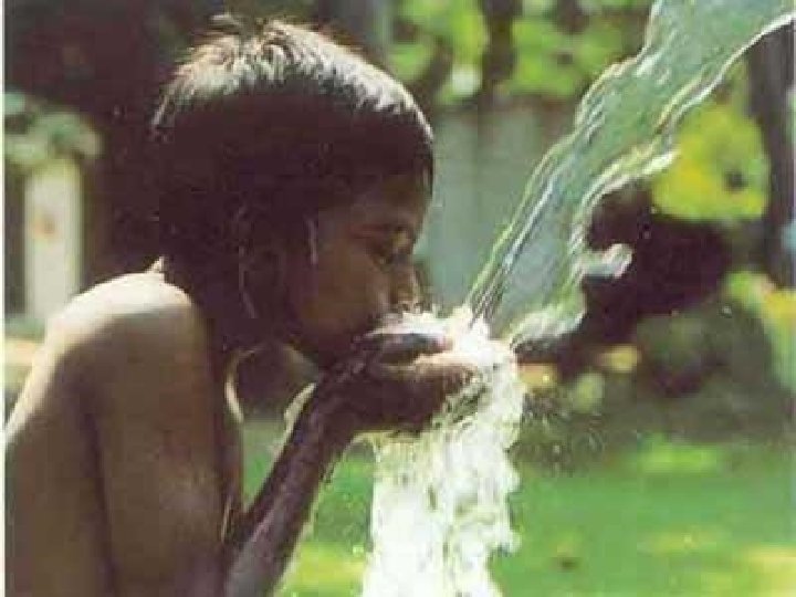
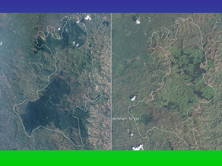
What are some more examples of ways that humans use and modify the environment in places in which they live?

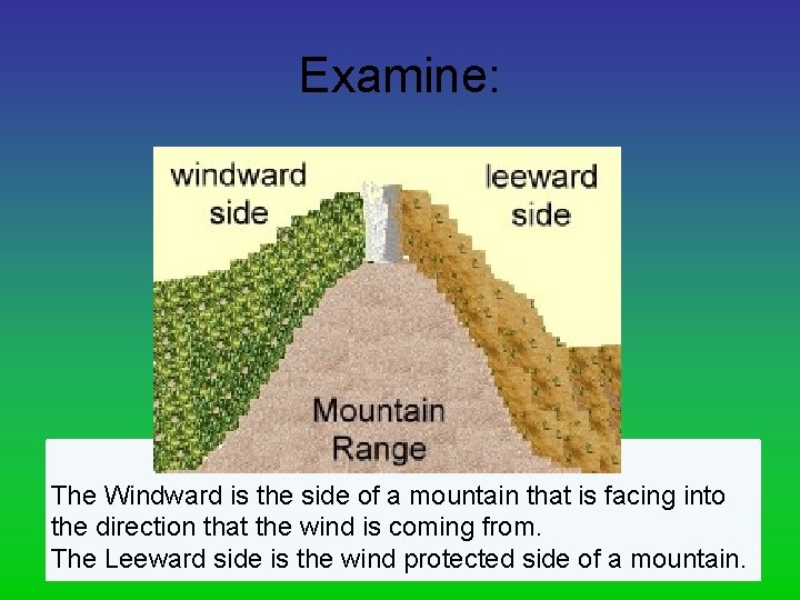
Examine: The Windward is the side of a mountain that is facing into the direction that the wind is coming from. The Leeward side is the wind protected side of a mountain.
Why are leeward sides of mountains drier than windward? How would this impact where people settle?
How does geography influence where businesses such as gas stations and malls are built?


Assignment • You and your assigned partner will brainstorm a list of examples for the five themes of geography. For example—you will determine an example for absolute and relative location for location. You will need an example for each theme/sub themes. Try to determine examples that no one else would have. You have 10 minutes.
Homework • Illustrate the 5 themes of geography
Two ways for a cartographer to map: 1. Globe – 3 D; has height, depth, and width 2. Map – 2 D
Comparing Globes and Maps • Which is more accurate? – Globe, because it is shaped like the earth. – Only accurate way to draw earth is a sphere. • Which is easier to read? – Map – Because they show more about the world’s people
Different Types of Maps 1. General purpose – shows a wide range of general information 2. Physical map – shows natural features 3. Political map – shows places that people have created 4. Special-purpose – shows information on specific topics
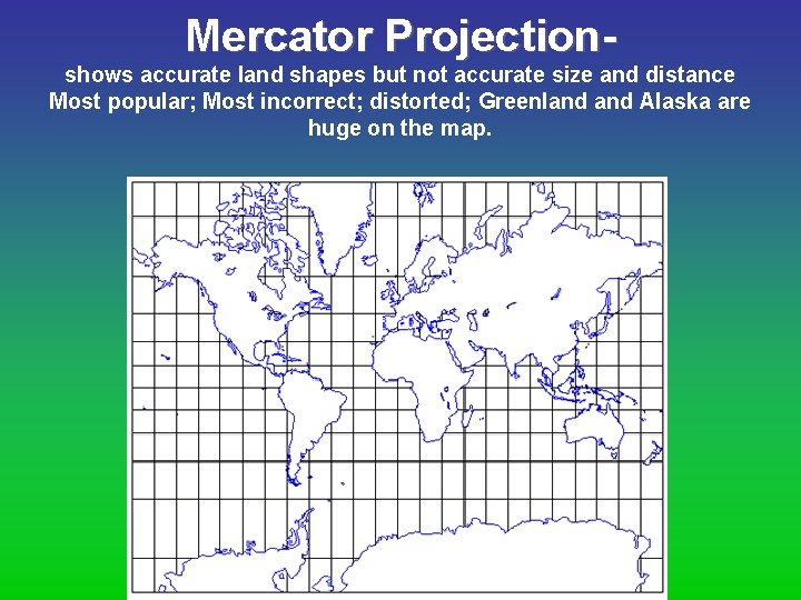
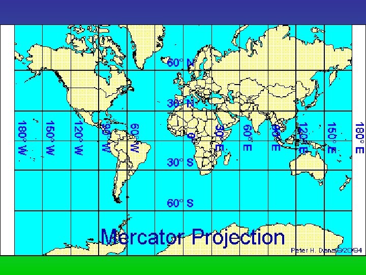
Mercator Projectionshows accurate land shapes but not accurate size and distance Most popular; Most incorrect; distorted; Greenland Alaska are huge on the map.
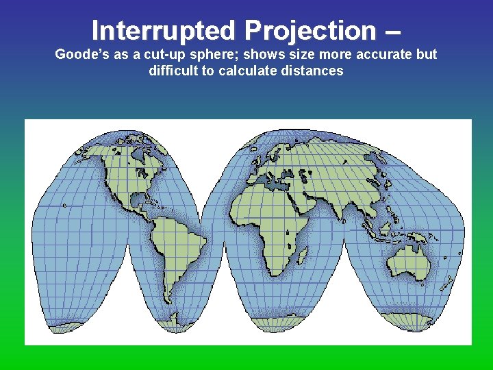
Interrupted Projection – Goode’s as a cut-up sphere; shows size more accurate but difficult to calculate distances
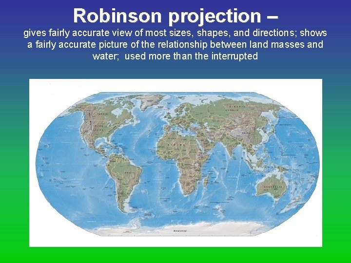
Robinson projection – gives fairly accurate view of most sizes, shapes, and directions; shows a fairly accurate picture of the relationship between land masses and water; used more than the interrupted
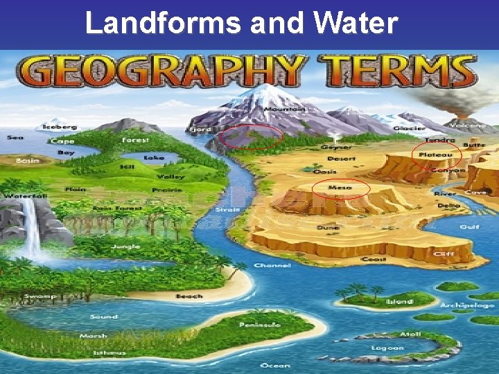
Landforms and Water
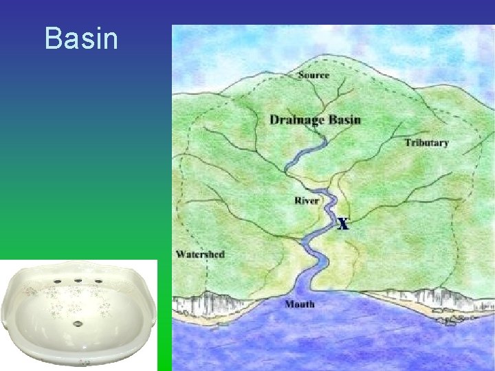
Basin
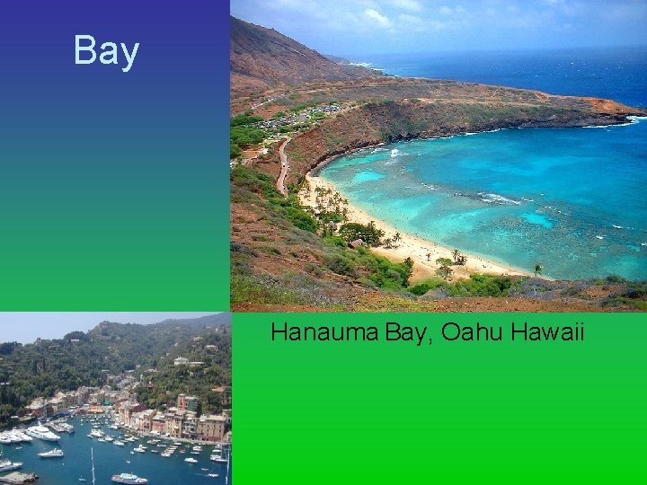
Bay Hanauma Bay, Oahu Hawaii
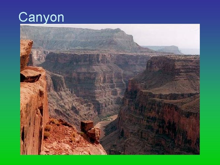
Canyon
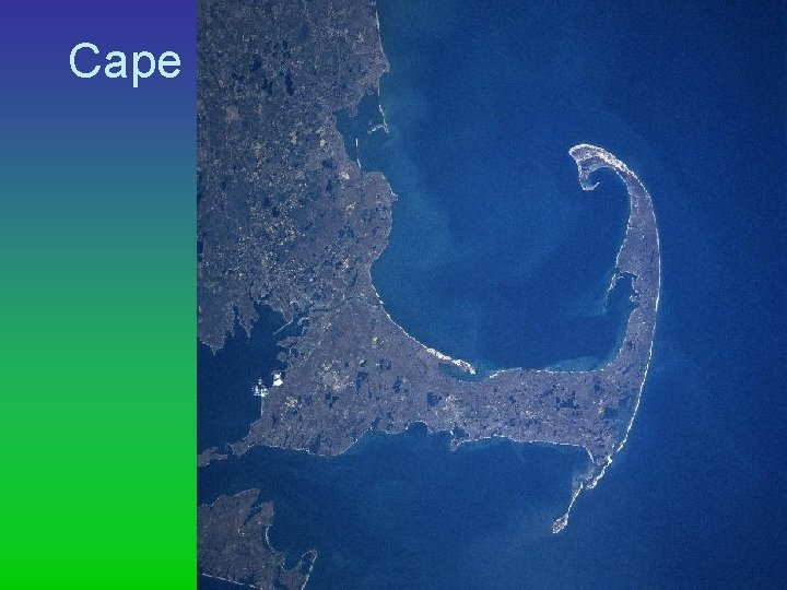
Cape
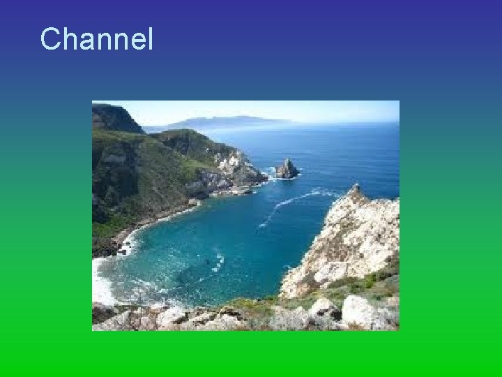
Channel
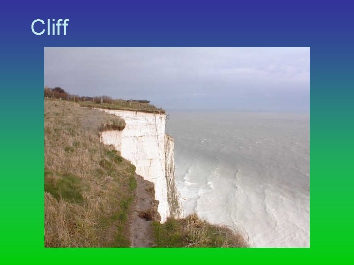
Cliff
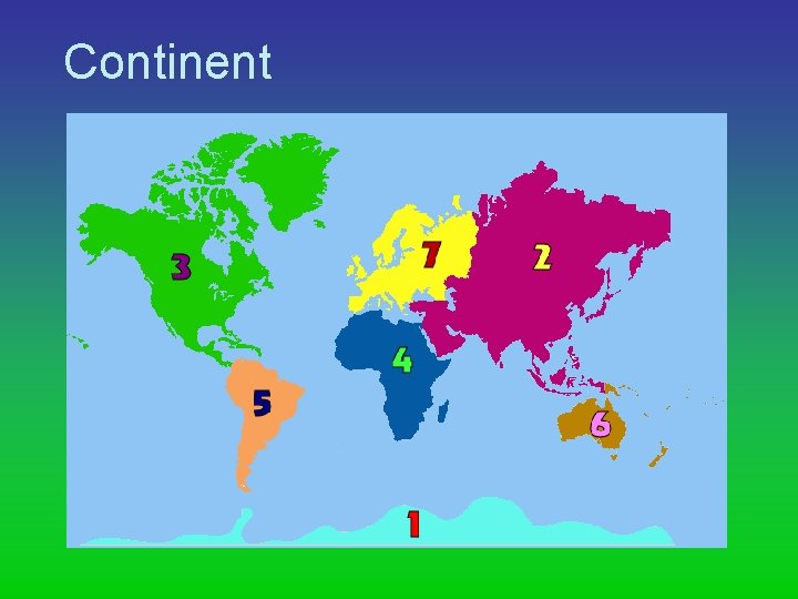
Continent
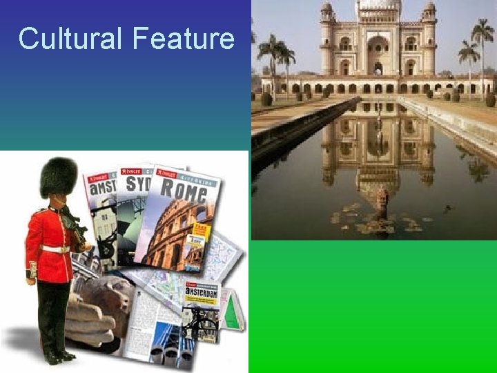
Cultural Feature
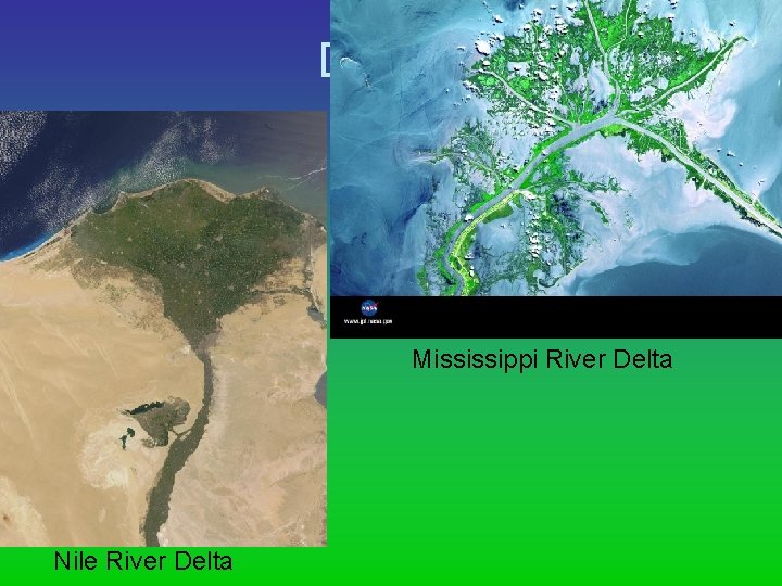
Delta Mississippi River Delta Nile River Delta
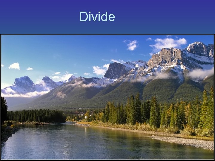
Divide
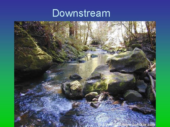
Downstream
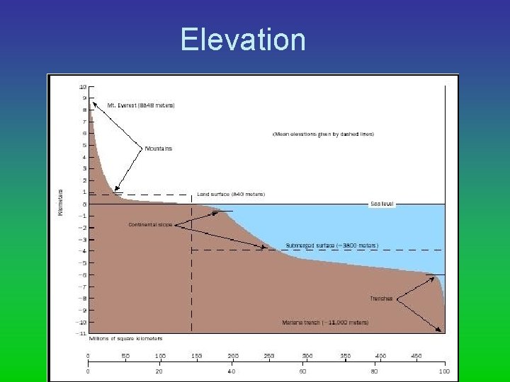
Elevation
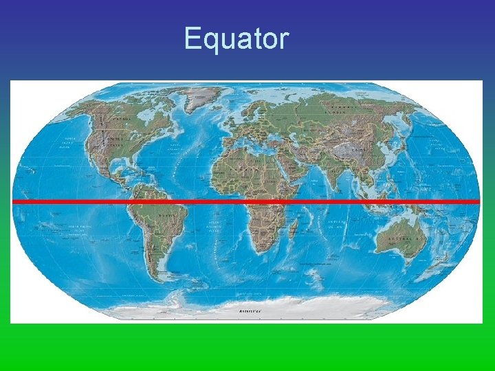
Equator
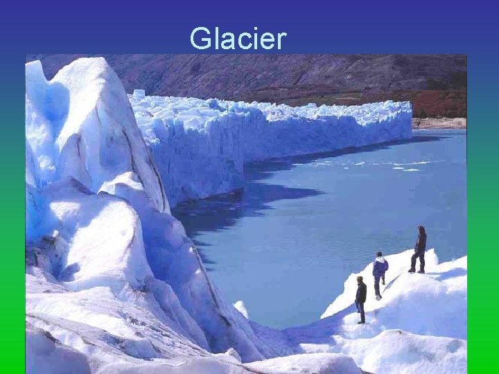
Glacier
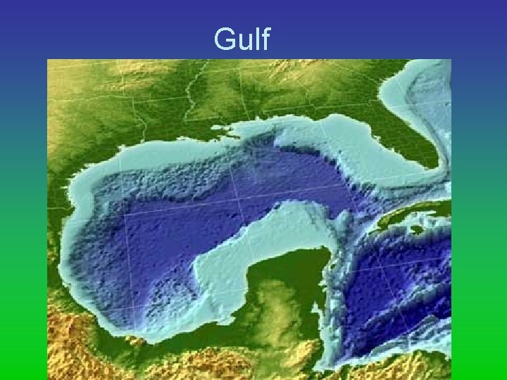
Gulf
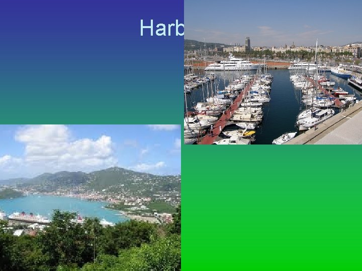
Harbor
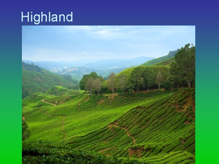
Highland
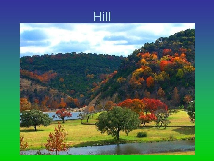
Hill
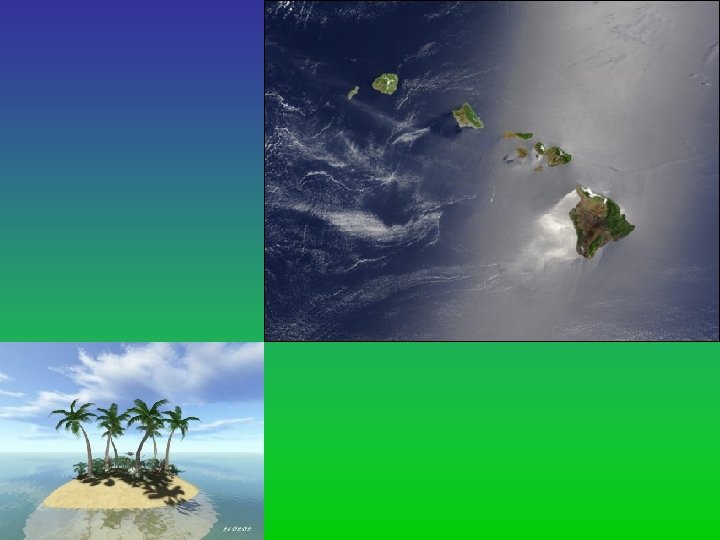
Island
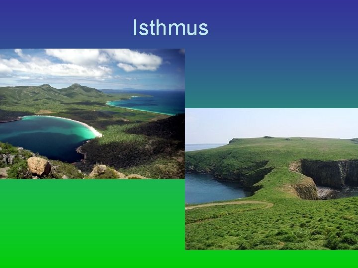
Isthmus
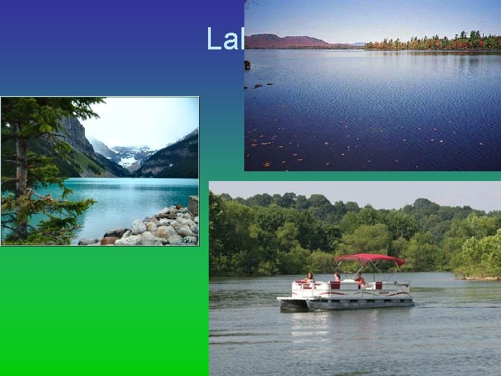
Lake
Latitude
Longitude
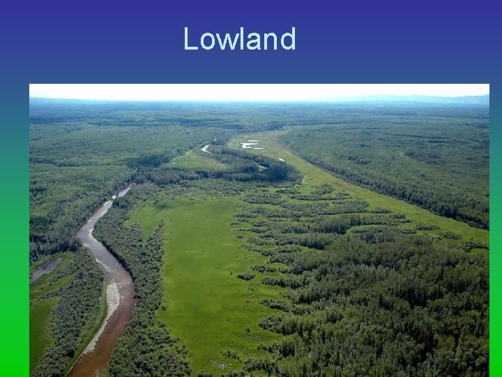
Lowland
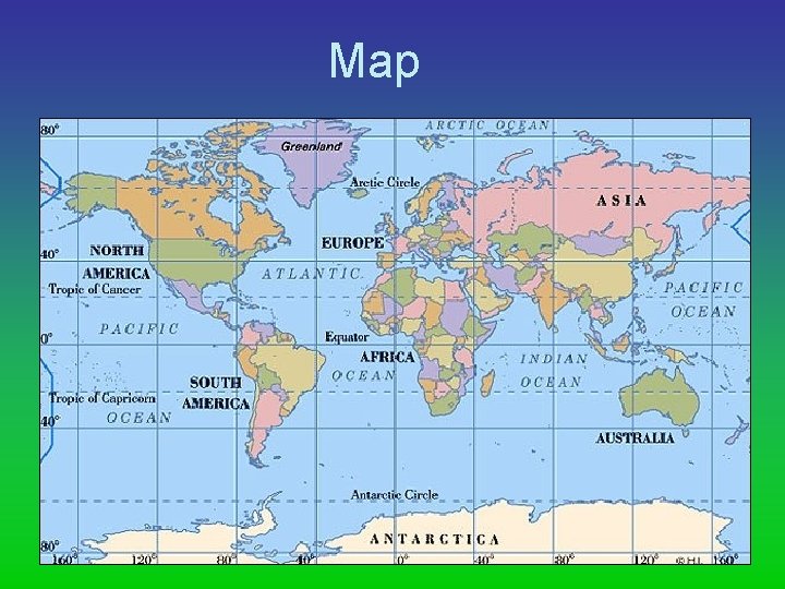
Map
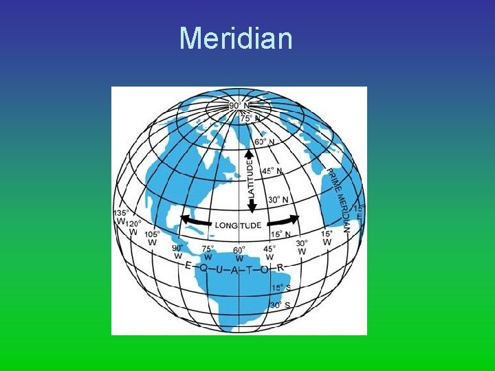
Meridian
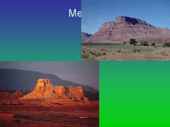
Mesa
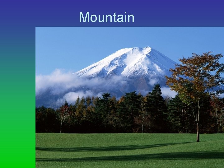
Mountain
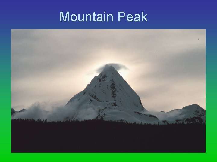
Mountain Peak
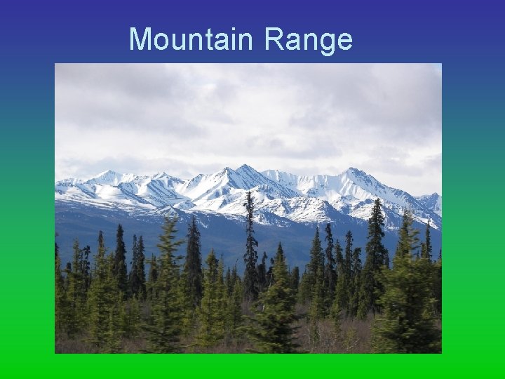
Mountain Range
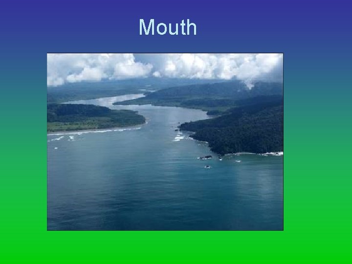
Mouth
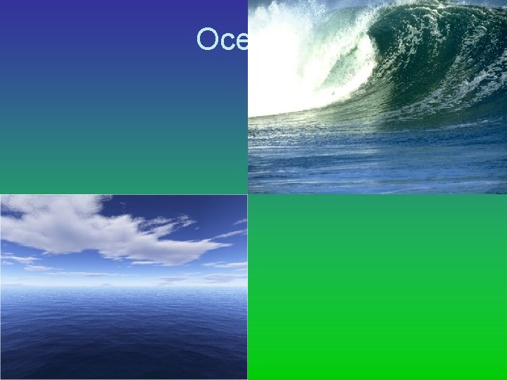
Ocean
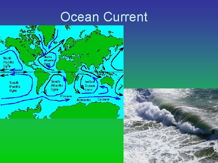
Ocean Current
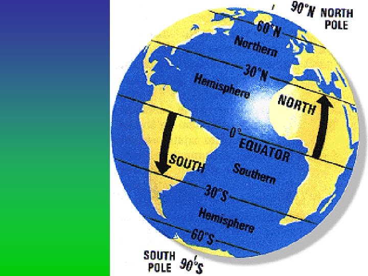
Parallel
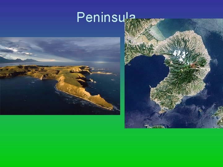
Peninsula
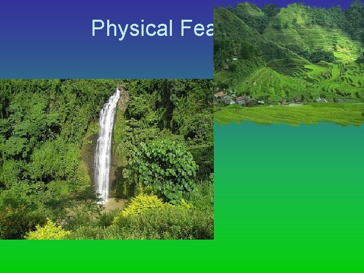
Physical Feature
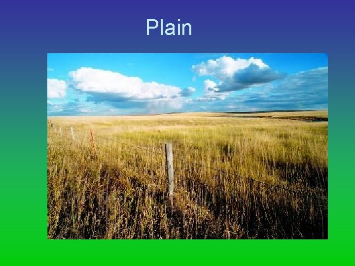
Plain
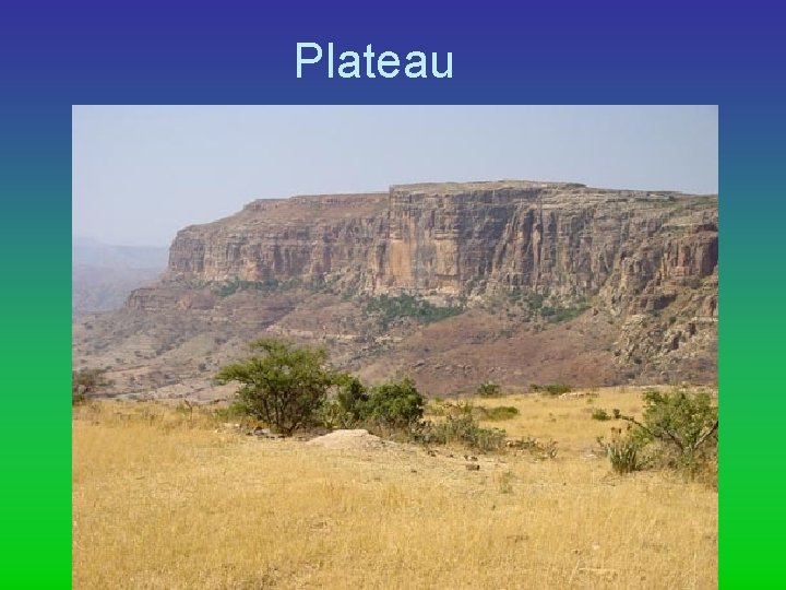
Plateau
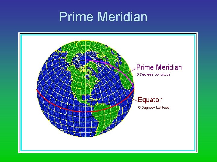
Prime Meridian
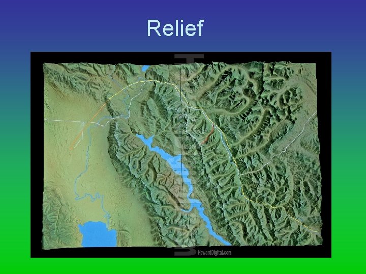
Relief
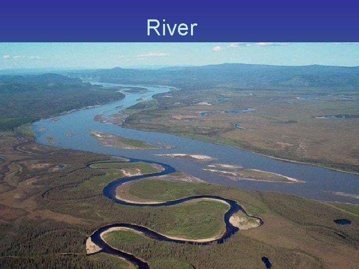
River
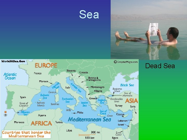
Sea Dead Sea
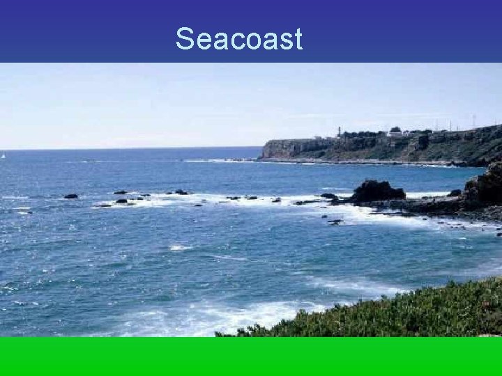
Seacoast
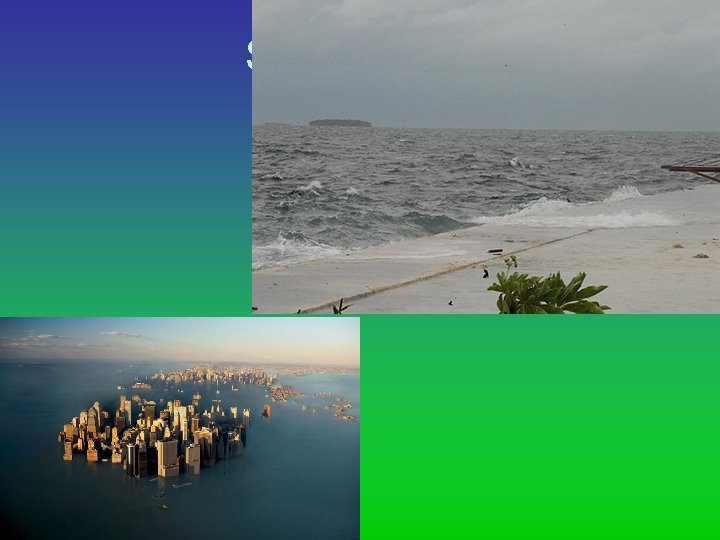
Sea Level
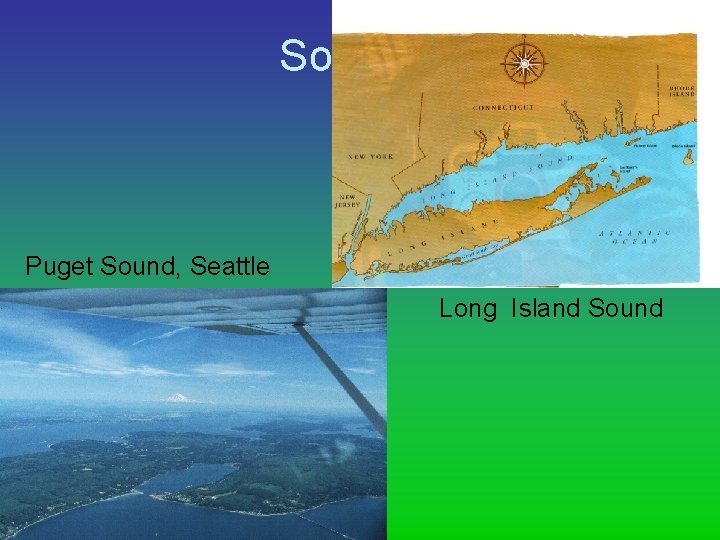
Sound Puget Sound, Seattle Long Island Sound
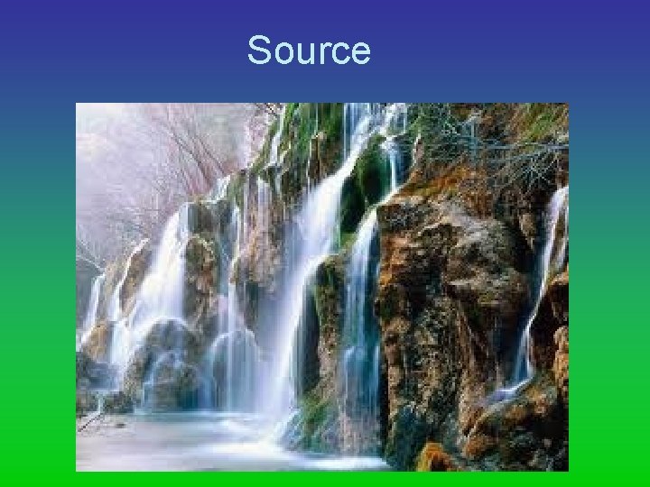
Source
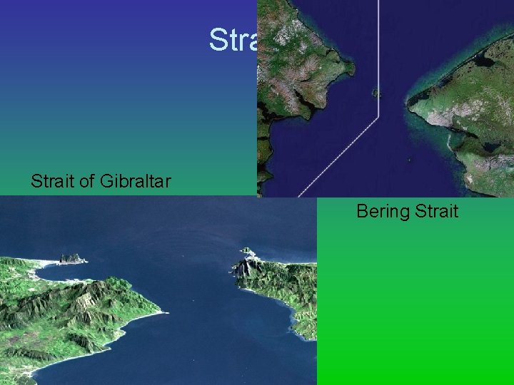
Strait of Gibraltar Bering Strait
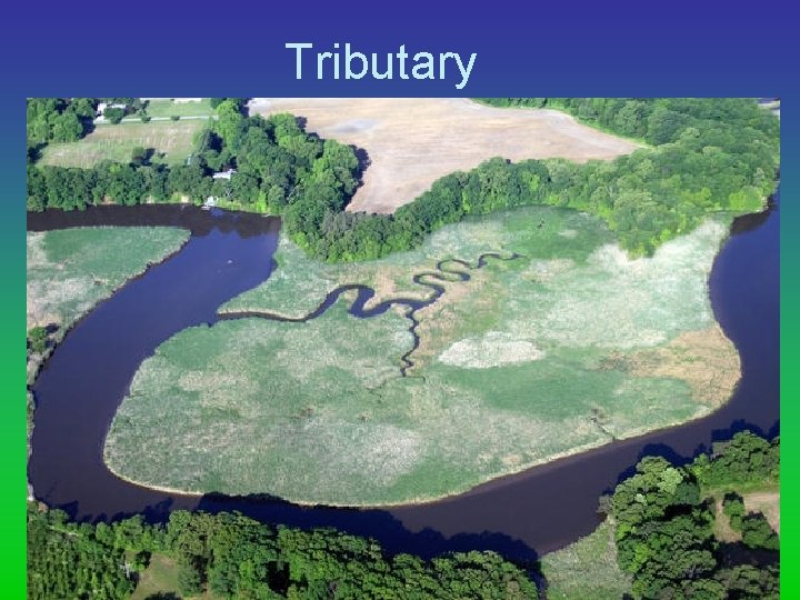
Tributary
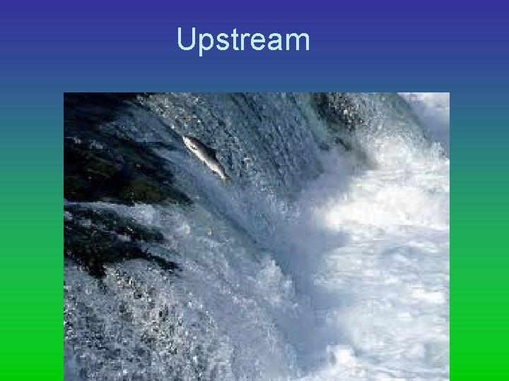
Upstream
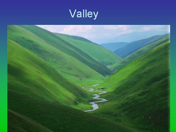
Valley
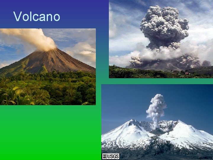
Volcano
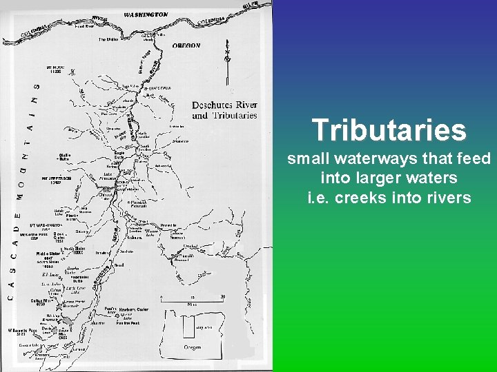
Tributaries small waterways that feed into larger waters i. e. creeks into rivers
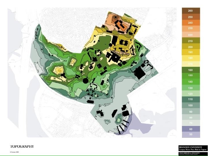
Topography study of the surface; “top” of the earth Elevation – height above sea level Relief – difference in height
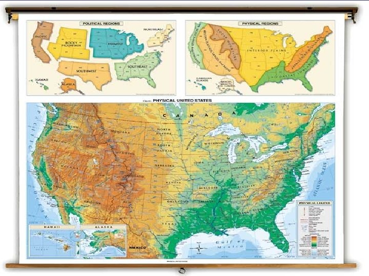
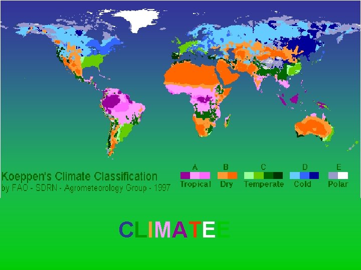
CLIMATEE
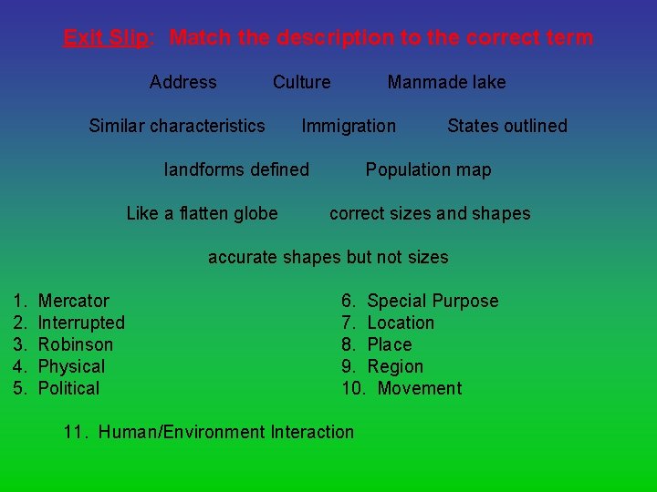
Exit Slip: Match the description to the correct term Address Culture Similar characteristics Manmade lake Immigration landforms defined Like a flatten globe States outlined Population map correct sizes and shapes accurate shapes but not sizes 1. 2. 3. 4. 5. Mercator Interrupted Robinson Physical Political 6. Special Purpose 7. Location 8. Place 9. Region 10. Movement 11. Human/Environment Interaction
- Slides: 124