Geographic Information Systems GIS An Introduction Map and
: An Introduction Map and Data Library University of Toronto Libraries")


 Adobe Photoshop / Elements Autocad")

")
")
")

")


- Slides: 34
Geographic Information Systems (GIS): An Introduction Map and Data Library University of Toronto Libraries Marcel Fortin GIS & Map Librarian, University of Toronto Map and Data Library gis. maps@utoronto. ca mdl. library. utoronto. ca
Objectives n Learn GIS Basics: Data and software n Concepts and applications n n Navigate the world of Geospatial Data n Services in the Map and Data Library, University of Toronto
What is GIS?
What is GIS? Google Earth Global Positioning Systems (GPS) Adobe Photoshop / Elements Autocad http: //www. geocachingtoys. com/i//pt-gps 60 -LF-LG. jpg
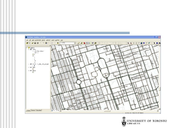
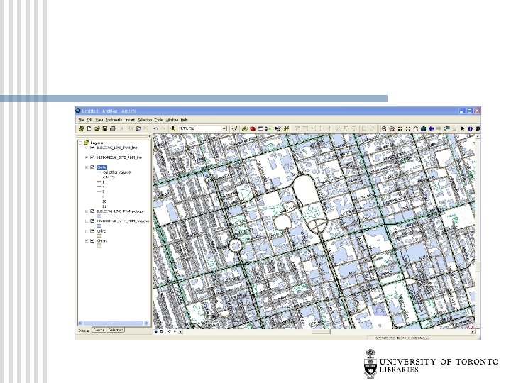
GIS/Geospatial Vector and raster data
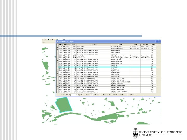
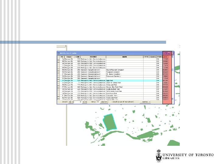
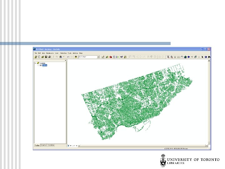
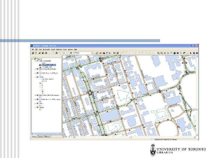
What is GIS? Compile Data (points)
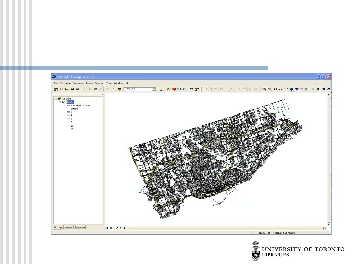
What is GIS? Compile Data (lines)
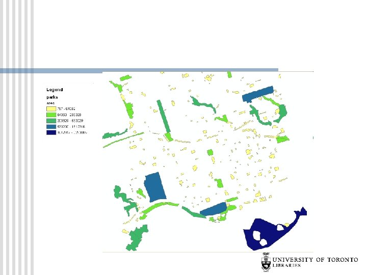
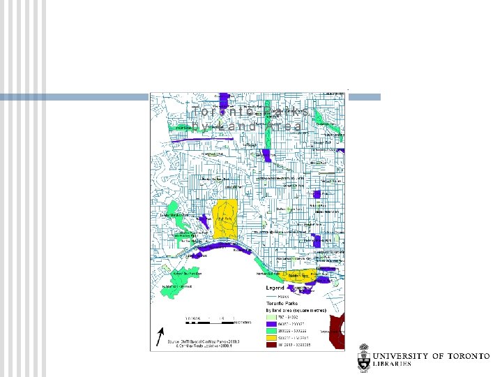
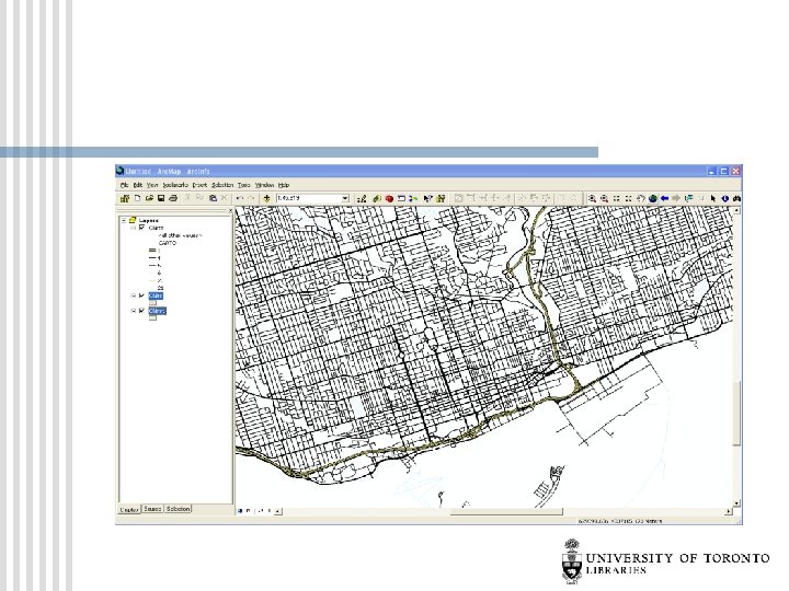
What is GIS? Compile Data (polygons)
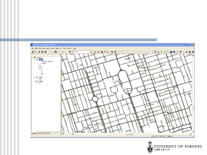
What is GIS? Manipulate Data
Population Density (Pop / Area)
Population Density of Greater Toronto Area
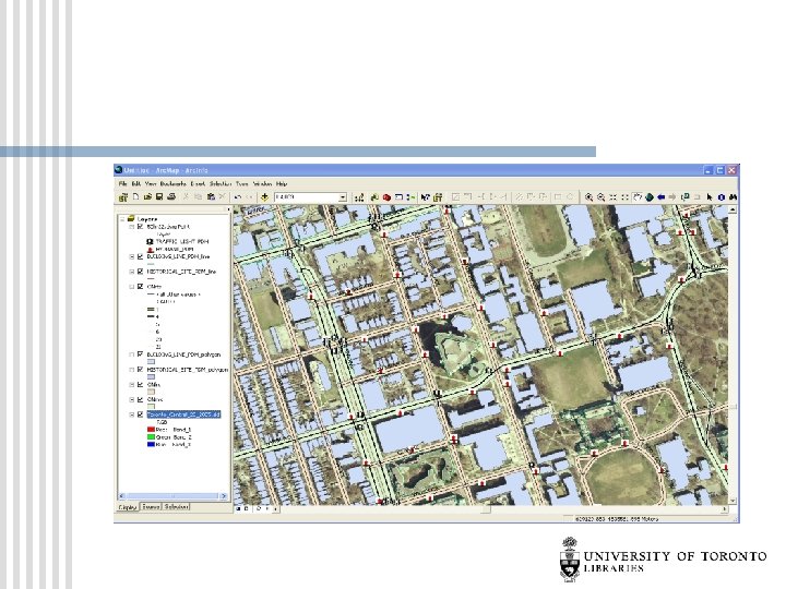
Raster Data: Air Photos
Google/Web Impact on GIS Digital Information is now looked at differently…people want to see what can be mapped n Increase in geographic data now available all over the web from users n Increase in demand for geographic data n
Toronto Crime GIS via Google Maps
Buffers and Symbology
Buffers and Symbology
Proximity Querying
Analysis: 34 -36% of homicides occur within 500 m of a Grow Op
Analysis Frequency Distribution by Age
GIS – Where to start http: //mdl. library. utoronto. ca