
Foundation for Space Science Technology and Applications The
- Slides: 36
Foundation for Space Science, Technology and Applications The Amazon Deforestation Monitoring System: A large environmental database developed on Terra. Lib and Postgre. SQL Vanildes Ribeiro - System Analyst – FUNCATE - vanildes@funcate. org. br Gilberto Queiroz – Researcher - INPE – gribeiro@dpi. inpe. br
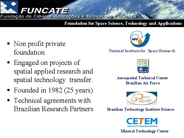
Foundation for Space Science, Technology and Applications § Non profit private foundation § Engaged on projects of spatial applied research and spatial technology transfer. § Founded in 1982 (25 years) § Technical agreements with Brazilian Research Partners National Institute for Space Research Aerospatial Technical Center Brazilian Air Force Brazilian Technology Institute Science Mineral Technology Center
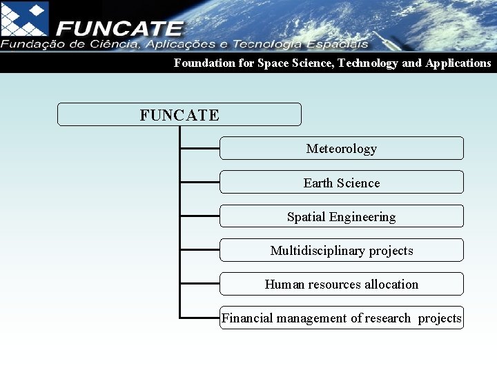
Foundation for Space Science, Technology and Applications FUNCATE Meteorology Earth Science Spatial Engineering Multidisciplinary projects Human resources allocation Financial management of research projects
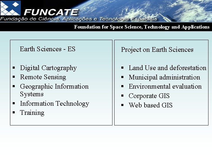
Foundation for Space Science, Technology and Applications Earth Sciences - ES § Digital Cartography § Remote Sensing § Geographic Information Systems § Information Technology § Training Project on Earth Sciences § § § Land Use and deforestation Municipal administration Environmental evaluation Corporate GIS Web based GIS
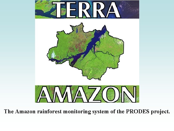
The Amazon rainforest monitoring system of the PRODES project.
Goals To produce deforestation maps of the Brazilian Amazon. To calculate the annual deforestation rate
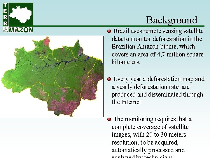
Background Brazil uses remote sensing satellite data to monitor deforestation in the Brazilian Amazon biome, which covers an area of 4, 7 million square kilometers. Every year a deforestation map and a yearly deforestation rate, are produced and disseminated through the Internet. The monitoring requires that a complete coverage of satellite images, with 20 to 30 meters resolution, to be acquired, automatically processed and
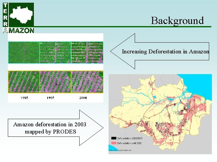
Background Increasing Deforestation in Amazon deforestation in 2003 mapped by PRODES
Background • PRODES was initiated at the end of the 80's using analogical interpretation process. • In the following years deforestation mapping evolved to a fully digital procedure using SPRING. Deforestation mapping demanded 229 independent databases, each one covering one LANDSAT 5 satellite image, creating an environment of complex management. • The complexity would increase with the use of images from other satellites (CBERS, LANDSAT, DMC), which are needed to guarantee data availability under a satellite operational breakdown. • Terra. Amazon was developed to simplify deforestation mapping in this scenario with the advantage of delivering faster results.
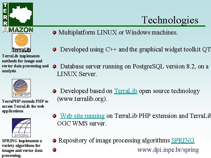
Technologies Multiplatform LINUX or Windows machines. Developed using C++ and the graphical widget toolkit QT. Terra. Lib implements methods for image and vector data processing and analysis. Terra. PHP extends PHP to access Terra. Lib for web applications. SPRING implements a variety algorithms for images and vector data processing. Database server running on Postgre. SQL version 8. 2, on a LINUX Server. Developed based on Terra. Lib open source technology (www. terralib. org). Web site running on Terra. Lib PHP extension and Terra. Lib OGC WMS server. Repository of image processing algorithms SPRING www. dpi. inpe. br/spring
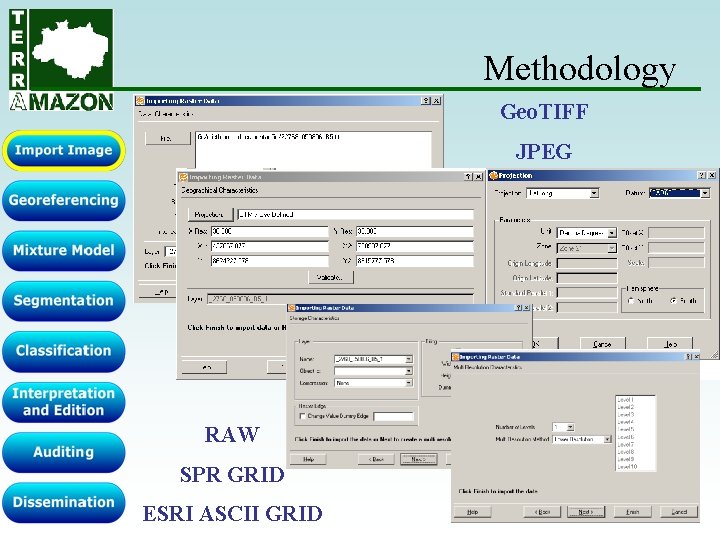
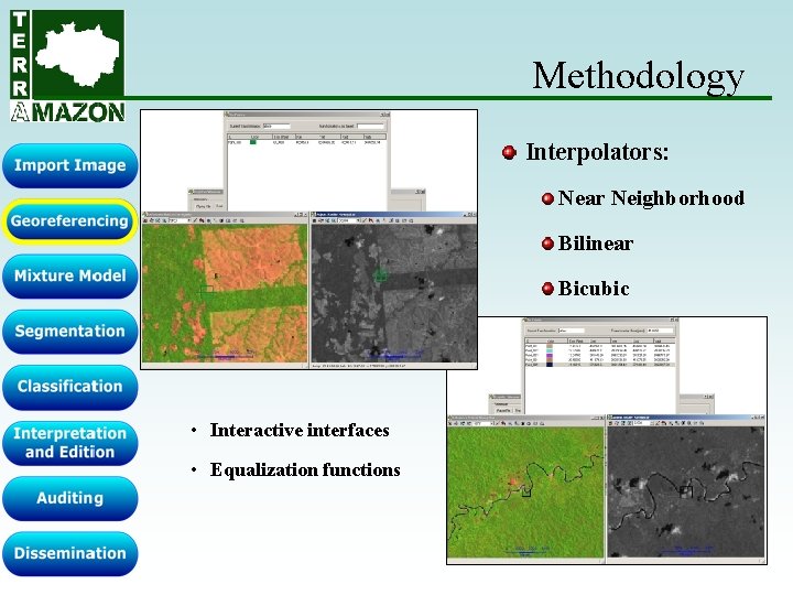
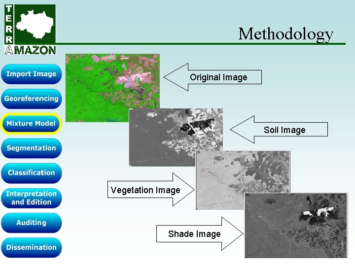
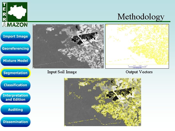
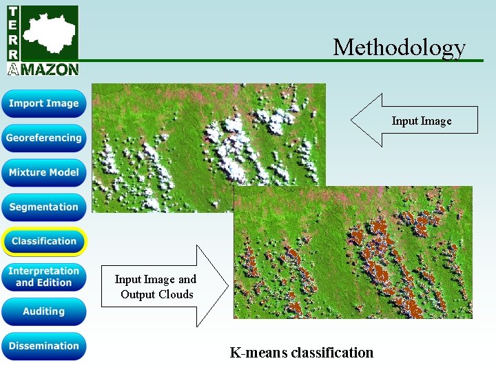
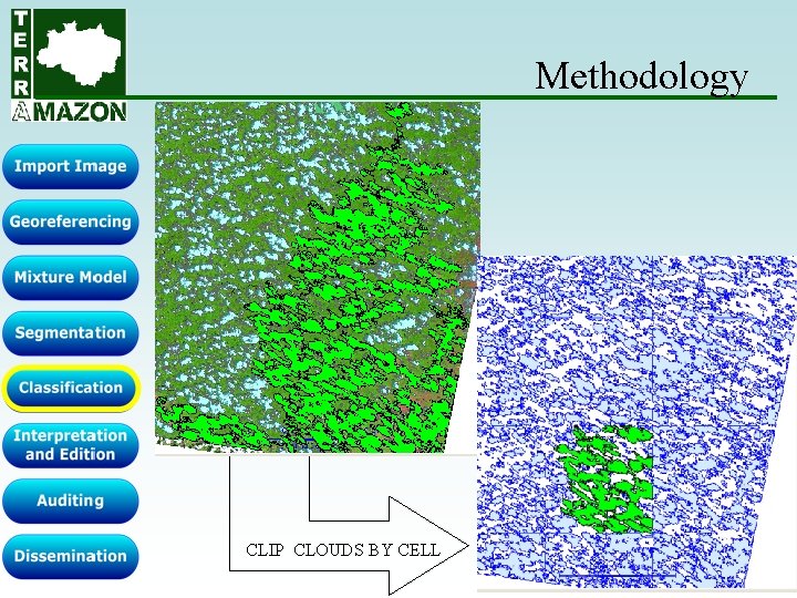
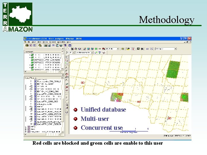
Methodology Terra. Amazon manages all operations using a unique corporate database in a distributed and concurrent environment. Cells were created by partitioning the project extents using a 0. 25 degrees grid. Each interpreter can lock one or more cells to process using a long transactions schema. Image processing tools are used to automatically extract deforestation polygons and include: TIFF format image import, georeferencing using control points, enhancement and color composition, mixture model, segmentation, and classification.
Methodology
Methodology Geo. TIFF JPEG RAW SPR GRID ESRI ASCII GRID
Methodology Interpolators: Near Neighborhood Bilinear Bicubic • Interactive interfaces • Equalization functions
Methodology Original Image Soil Image Vegetation Image Shade Image
Methodology Input Soil Image Output Vectors
Methodology Input Image and Output Clouds K-means classification
Methodology CLIP CLOUDS BY CELL
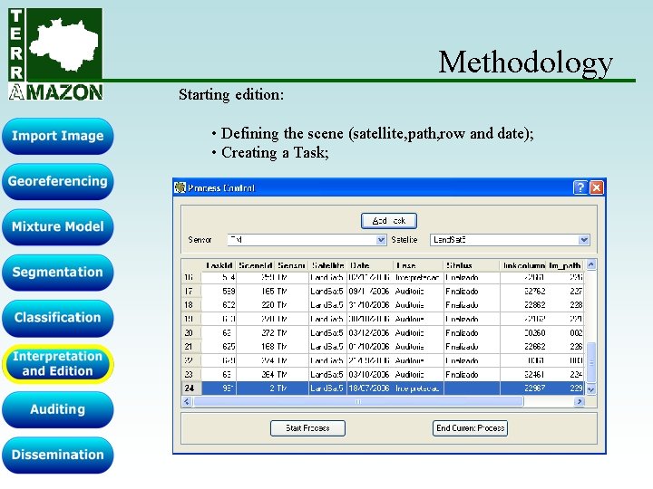
Methodology Starting edition: • Defining the scene (satellite, path, row and date); • Creating a Task;
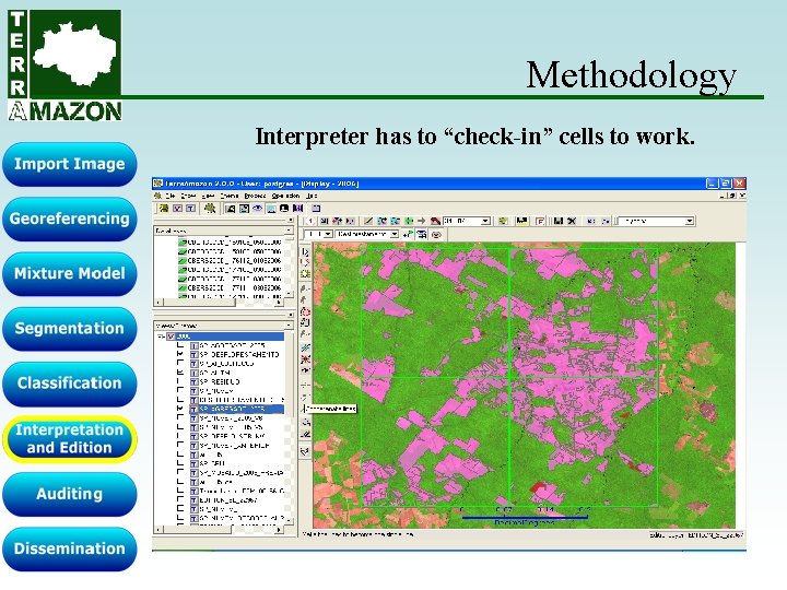
Methodology Interpreter has to “check-in” cells to work.
Methodology Unified database Multi-user Concurrent use Red cells are blocked and green cells are enable to this user
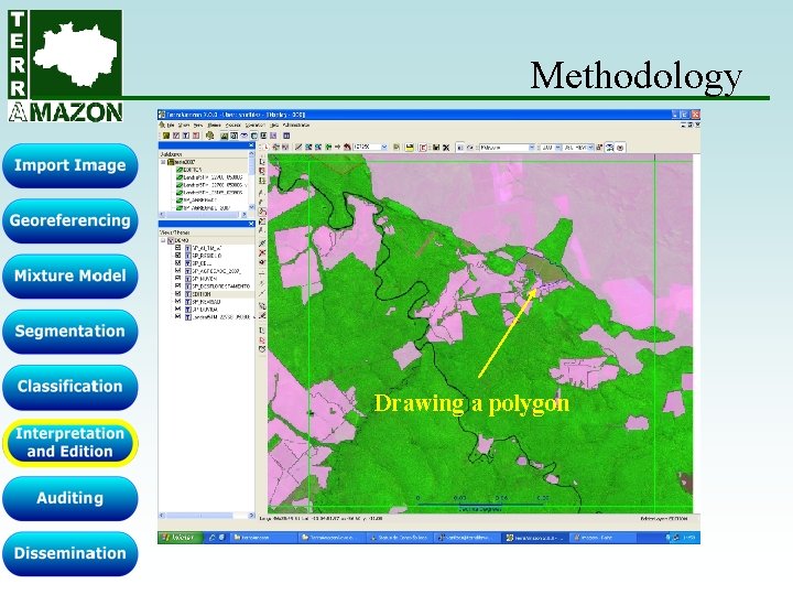
Methodology Drawing a polygon
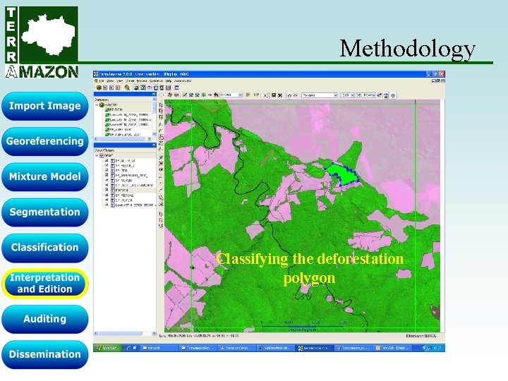
Methodology Classifying the deforestation polygon
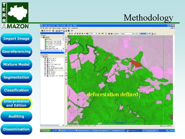
Methodology deforestation defined
Methodology Demonstration. . .
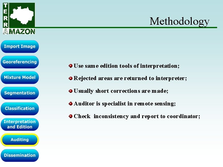
Methodology Use same edition tools of interpretation; Rejected areas are returned to interpreter; Usually short corrections are made; Auditor is specialist in remote sensing; Check inconsistency and report to coordinator;
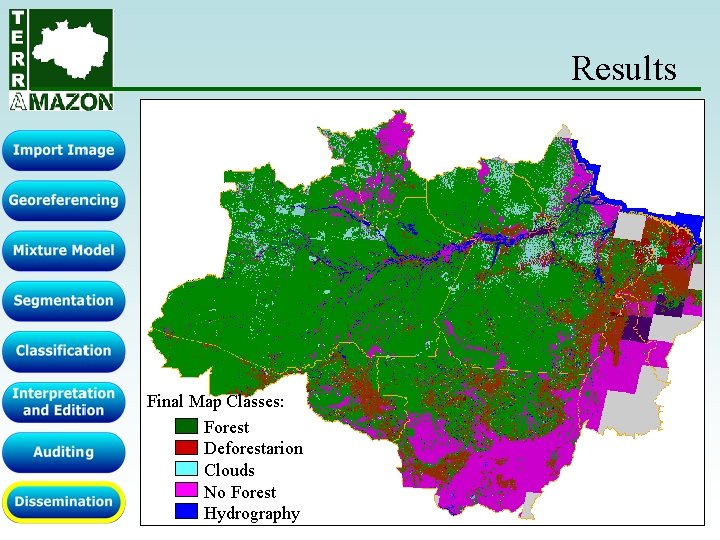
Results Final Map Classes: Forest Deforestarion Clouds No Forest Hydrography
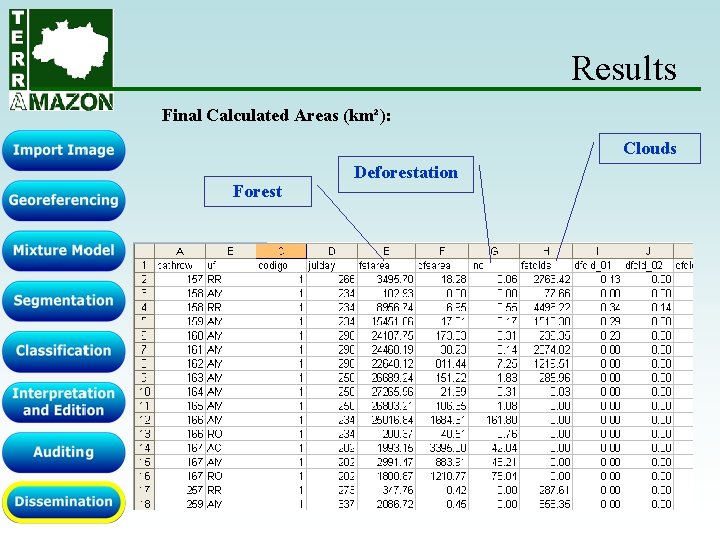
Results Final Calculated Areas (km²): Clouds Forest Deforestation
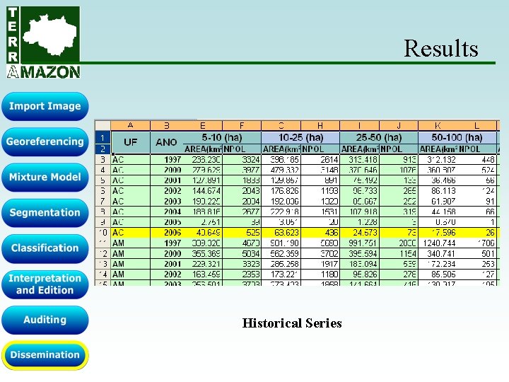
Results Historical Series
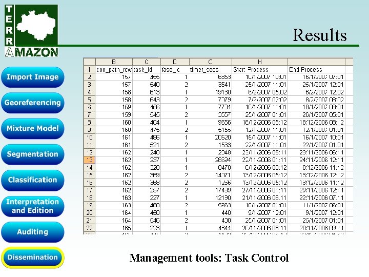
Results Management tools: Task Control
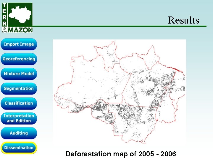
Results Deforestation map of 2005 - 2006
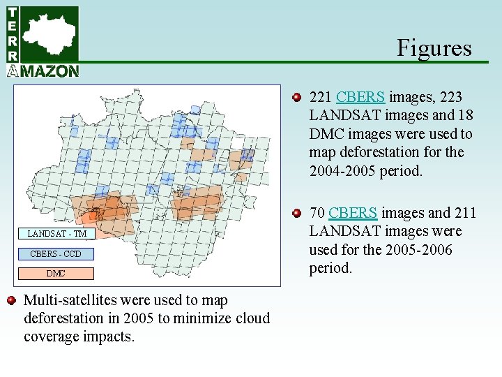
Figures 221 CBERS images, 223 LANDSAT images and 18 DMC images were used to map deforestation for the 2004 -2005 period. LANDSAT - TM CBERS - CCD DMC Multi-satellites were used to map deforestation in 2005 to minimize cloud coverage impacts. 70 CBERS images and 211 LANDSAT images were used for the 2005 -2006 period.
Figures Up to 20 concurrent users accessed the system during the interpretation phase in 2006. These users added 213, 693 new deforestation polygons and 595, 575 new cloud polygons. Currently the database stores 2, 380, 880 polygons of different categories The most complex polygon has 69, 925 vertices, with the average number of vertices in a polygon being 59. The average number of holes per polygon is 7. The volume of data stored in the database is 237 gigabytes. .
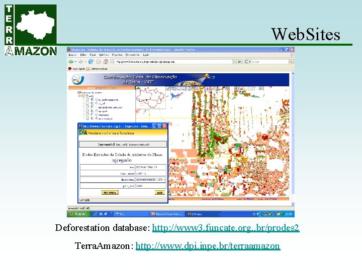
Web. Sites Deforestation database: http: //www 3. funcate. org. . br/prodes 2 Terra. Amazon: http: //www. dpi. inpe. br/terraamazon
Team Managers: Ubirajara Freitas Vanildes Ribeiro Terra. Amazon Developers: Mário Petinatti Eric Abreu Web Developers: André Carvalho Paulo Gazeta Tools Developers: Rui Mauricio Frederico Bede Hilton Medeiros Documentation: Cristhiane Santos Isabele Anunciação
Terra. Amazon is distributed under a LGPL License. Thank you!