Forecasting and Numerical Weather Prediction NWP NOWcasting Description
 • NOWcasting • Description of atmospheric models •")


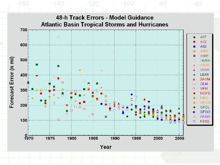
 • WRF/ETA:")


- Slides: 12
Forecasting and Numerical Weather Prediction (NWP) • NOWcasting • Description of atmospheric models • Specific Models • Types of variables and how to determine them from output • Forecast Sources • Practice making your own forecast
NOWcasting • Forecasting weather for the next few hours • Mainly relies on remote sensing and direct observation • Which way are radar echos moving? • What does the satellite show for a specific area? • What are the observations immediately upstream • Nowcasting for today?
Atmospheric Computer Models • Since 1955 • Complex mathmatical models representing the flow of wind from place to place and the change of phase of water that results • Hundreds of differential equations at thousands of locations to predict how far and which way the atmosphere will evolve from one second to the next based on initial set of observations. • That output becomes input for the next second repeat out to 2 weeks (how many differential equation solutions does this require? ) • Some of the most powerful supercomputers on earth are needed.
Trade-offs of limited computer processing • Number of needed calculations affected by number of locations calculated • resolution grid of between 12 and 70 km (36 km) • Number of calculations affected by geographic area covered • Cloud scale to global (continental) • Number of calculations affected by forecast length • Hours to years (2 weeks) • Use of output determines acceptable run-time • Minutes to months (3 hours)
Limitations of these models and workarounds • Processor-limited (resolution Vs. forecast length vs. areal extent) • Initial errors are propagated and magnified with time • “butterfly effect” on turbulent, chaotic fluid • Inclusion of satellite data improves initial conditions but they are still very imperfect • These can be addressed by “ensembles” which tweak observational input to reveal range of possibility • Mathmatical equations are pretty good, but some physical processes are still imperfectly understood • Sub-grid scale processes can’t be shown • “micrometeorology”
Forecast Skill • Forecasts of weather beyond one week show very little skill • Forecasts of climate for weeks and years do have skill • Forecast skill for 0 -5 days has been steadily improving with increasing processor speed and improved initial conditions and model parameterizations • Forecast skill for 0 -2 days is very high, but is more uncertain in some specific situations than others (ie convection and freezing precip boundaries)
Specific Models: • GFS/AVN: Global Forecast System • (NOAA-NCEP in Rockville, MD) • WRF/ETA: Weather Research and Forecasting • (NCAR-NOAA collaboration) • MM 5: Mesoscale Model • (PSU-NCAR collaboration) • ECMWF: European Community Mid-range Weather Forecast Model • (European govts. Reading, England) • UKMO: United Kingdp Meteo. Office • (UK Meteo Office) • NOGAPS: Naval Model similar to GFS • (US NAVY) • CMC/GEM: Global Environment Model • (Canadian Meteo. Office) • NGM: Nested Grid Model • (NCEP) • RUC: Rapid Update Cycle • (comparison of multiple models for the next 24 hours at higher resolution)
Operational Forecast models for US • Some models are better for certain circumstances – this is where forecaster skill comes in • GFS and WRF are the two models that most veteran forecasters rely on for the US • GFS: • Run out to 180 hrs+ at 80 km res. (to 324 hrs at less res) • Very reliable for large-scale storms • WRF • Run out to 84 hrs at 12 km res. • Good at forecasting precip. amount
Model Output • Models are run every 6 hours and generally available 3 -5 hours later • Output can be viewed as a series of charts at specific pressure levels or as time-series graphs or as statistical data (MOS) • Trend of model forecasts from one cycle to the next can be very important
Chart output: the “ewall” • Many sources, but PSU link is the best IMO • 4 -Panel Plots of future weather maps • Pressure at the surface • Temperatures at various pressure-levels • Heights at high altitude (to show jet stream) • Humidities at various levels (clouds) • Precipitation type and amound at surface • Quite a few others • All of this is available as graphs or stats for a specific spot along near a grid point. • Many weather forecasts you receive are nothing more than interpolation between gridpoints of the GFS (accuweather, wunderground, weather channel, etc. ) • A good forecaster can consistently beat the models, but few do
What will you be forecasting? 1. High Temperature 2. Low Temperature 3. Pressure 4. Cloudiness in tenths 5. Average wind speed 6. Average wind direction 7. Precip. amount