
Flood Mapping Hydrology and Communities 2013 Boulder Floods

Flood Mapping: Hydrology and Communities 2013 Boulder Floods Presented by: Sandra Sweat Fall 2015 Professor: Dr. David Maidment
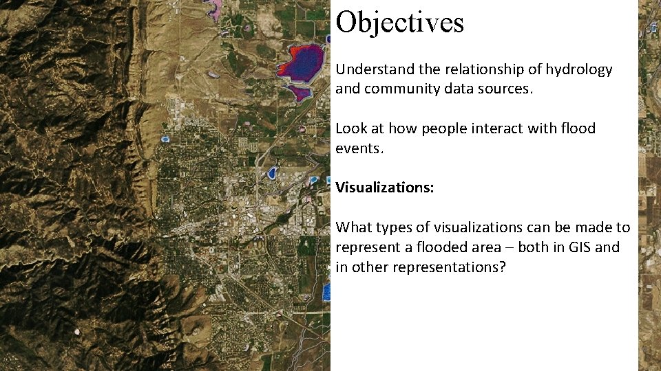
Objectives Understand the relationship of hydrology and community data sources. Look at how people interact with flood events. Visualizations: What types of visualizations can be made to represent a flooded area – both in GIS and in other representations?
Data Hydrology Community USGS Arc. Map connected data FEMA NOAA CMS Census 2010 National Weather Service ESRI Twitter Newspapers Journal and Government Papers Zip Codes
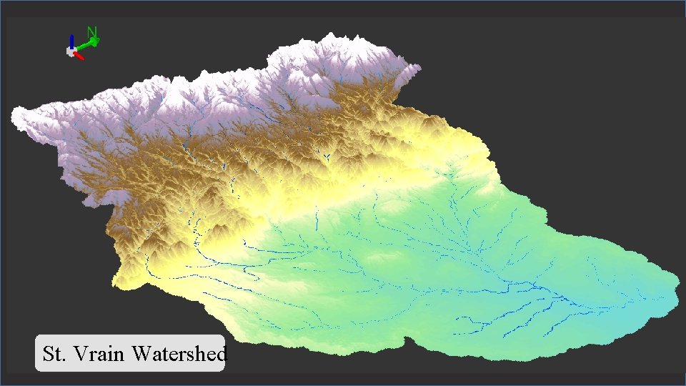
St. Vrain Watershed
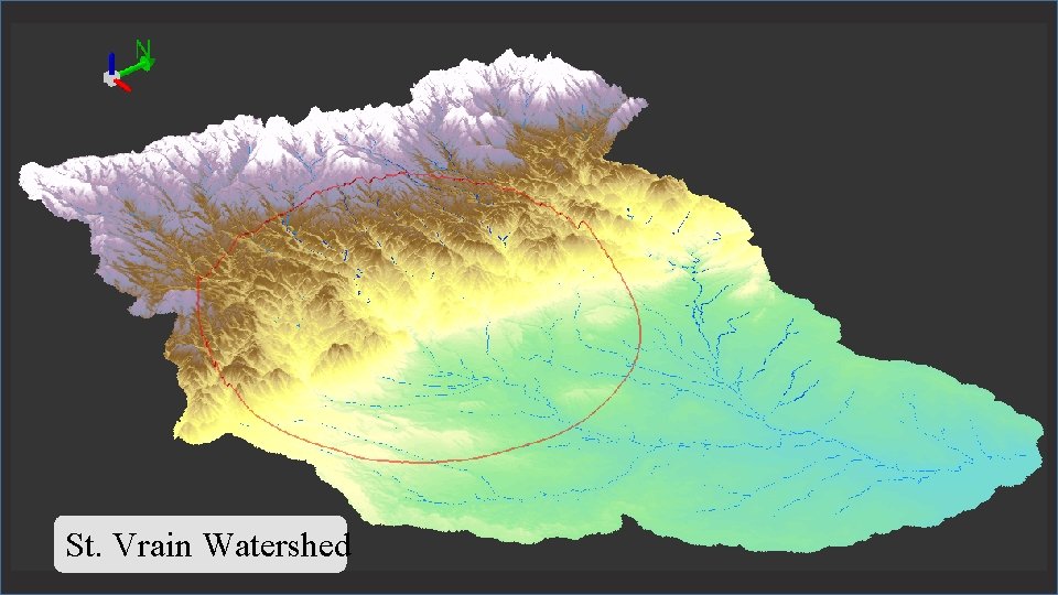
St. Vrain Watershed
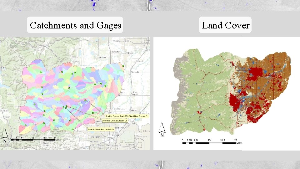
Catchments and Gages Land Cover
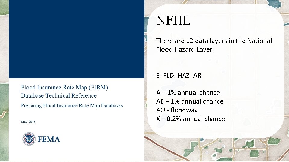
Hello, FEMA. Resulting maps NFHL There are 12 data layers in the National Flood Hazard Layer. S_FLD_HAZ_AR A – 1% annual chance AE – 1% annual chance AO - floodway X – 0. 2% annual chance

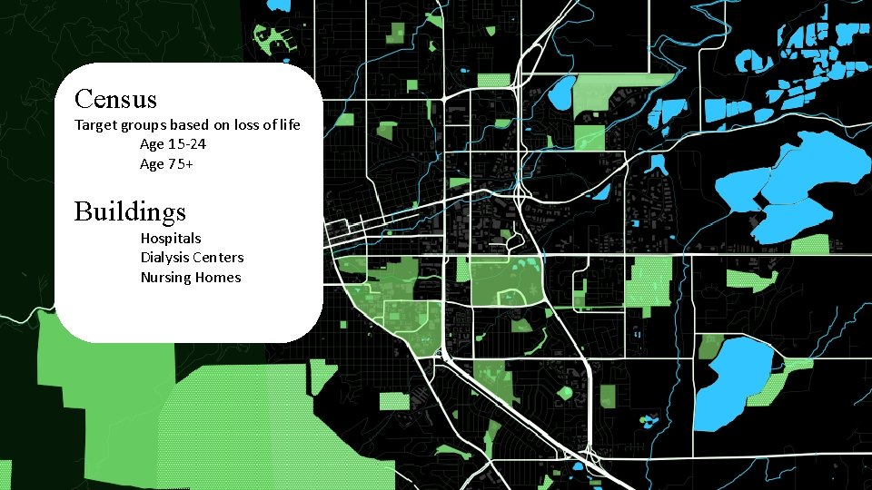
Census Target groups based on loss of life Age 15 -24 Age 75+ Buildings Hospitals Dialysis Centers Nursing Homes
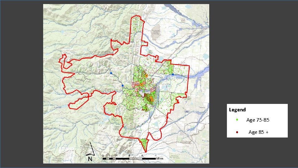
Legend Age 75 -85 Age 85 +
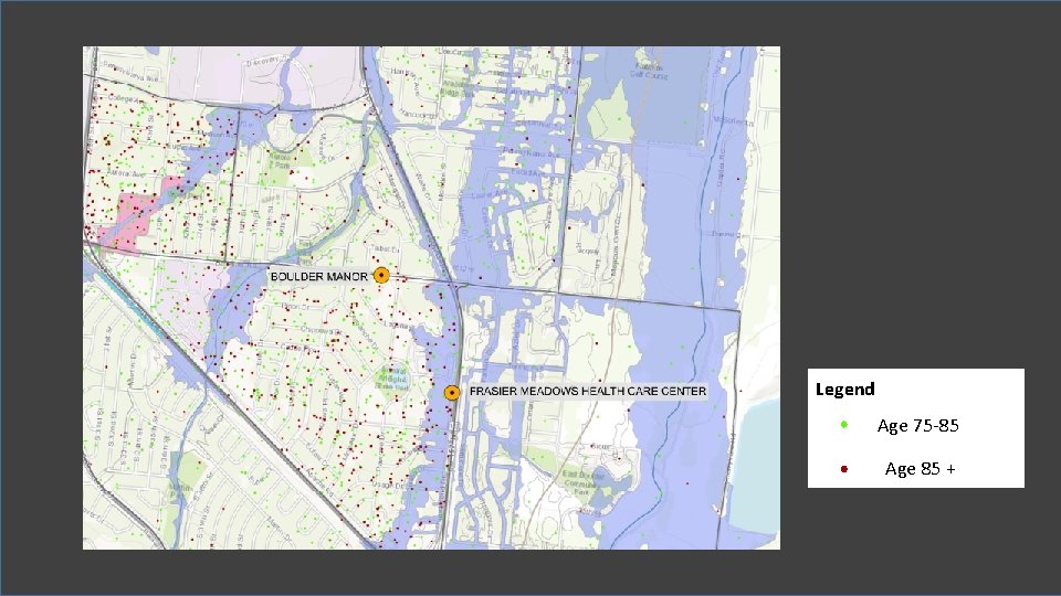
Legend Age 75 -85 Age 85 +
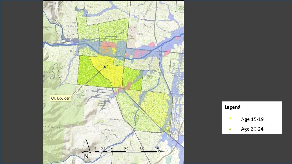
Legend Age 15 -19 Age 20 -24
Event Tracking – Creating a Timeline 1. 2. 3. 4. 5. Streamflow Rainfall Daily Camera Article NWS Storm warnings Twitter – manual searching
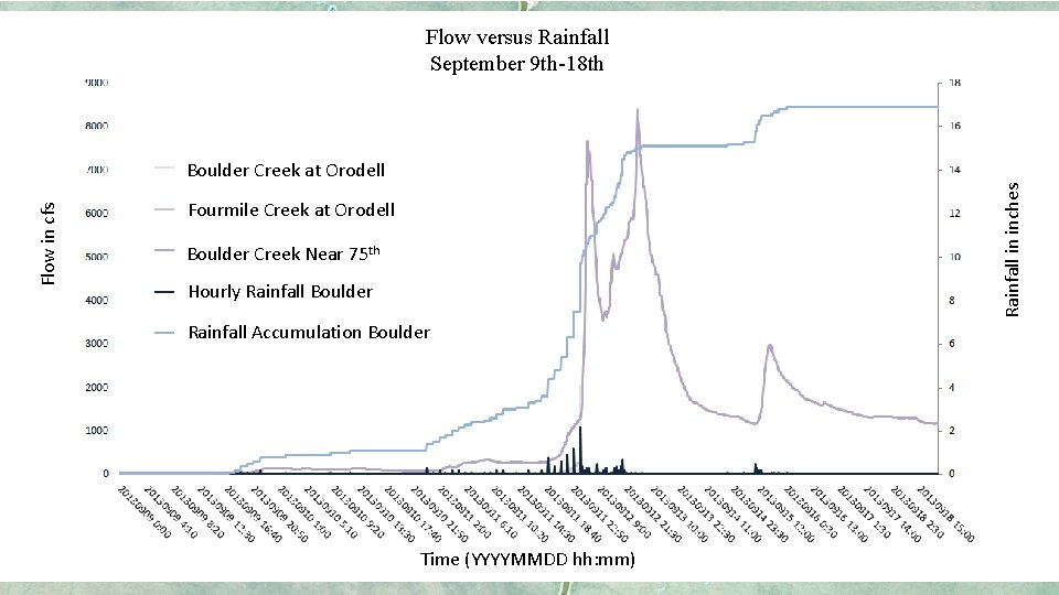
Flow versus Rainfall September 9 th-18 th Rainfall in inches Flow in cfs Boulder Creek at Orodell Fourmile Creek at Orodell Boulder Creek Near 75 th Hourly Rainfall Boulder Rainfall Accumulation Boulder Time (YYYYMMDD hh: mm)
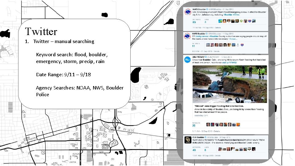
Twitter 1. Twitter – manual searching Keyword search: flood, boulder, emergency, storm, precip, rain Date Range: 9/11 – 9/18 Agency Searches: NOAA, NWS, Boulder Police
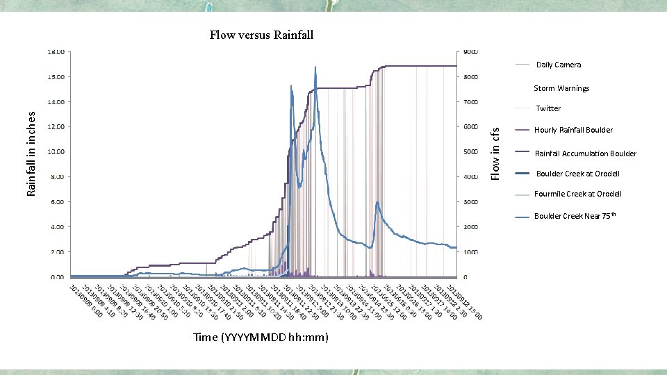
Flow versus Rainfall Daily Camera Storm Warnings Flow in cfs Rainfall in inches Twitter Hourly Rainfall Boulder Rainfall Accumulation Boulder Creek at Orodell Fourmile Creek at Orodell Boulder Creek Near 75 th Time (YYYYMMDD hh: mm)

Questions
- Slides: 17