Features of Maps Title The title tells the


- Slides: 20
Features of Maps
Title • The title tells the subject of the map and gives an idea of what information is shown
Compass Rose • The compass rose shows the directions: north, south, east and west
Legend • The legend, or key, lists and explains the symbols and colors used on the map
Scale • A scale can be used to figure out the distance between two locations on a map.
Types of Maps
Political Maps • • • Usually colored by country or by state Political colors make it easy to compare size, shape, and location Bold letters often make the country names stand out Symbols make it easy to tell capitals from other cities Political maps also name certain physical features, such as rivers and lakes
World Political Map
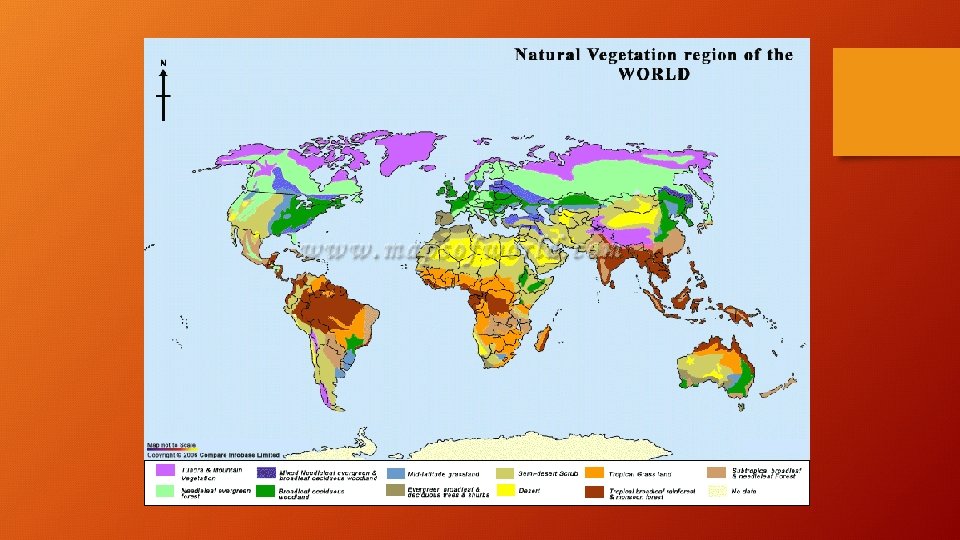
Physical Map • Has colors that make natural patterns stand out • The colors on the map can stand for types of vegetation, mountain, and natural features • Names of big natural features are easy to see • Physical maps also include some political information, such as boundaries
World Physical Map
Thematic Map • Designed to show a particular theme connected with a specific geographic area • Could detail physical, social, political aspects of a region
Thematic Map of Africa
Climate Map • The climate of a place is the weather it has season by season, year after year • Rainfall and temperature are climate’s main ingredients • Climate is affected by elevation, distance from the ocean, and latitude
World Climate Map
Topographic Map These maps generally represent a small area with a lot of detail. They show elevation with contour lines, natural and man-made features.
Topographic Map
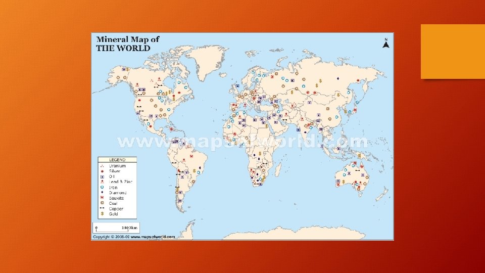
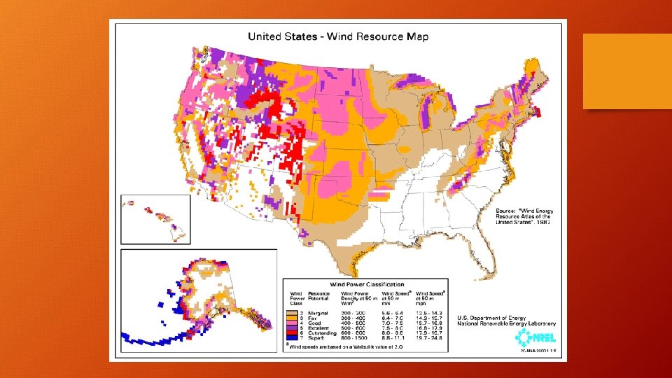
Land Use Resource Map These maps show land is being used. This might refer to: • vegetation • crops being grown • forest vs. Agriculture • mines and wells • city zoning.