
Faults Topography Whats a Fault A fault is
- Slides: 16
Faults & Topography
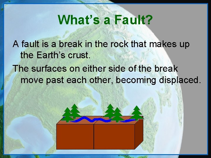
What’s a Fault? A fault is a break in the rock that makes up the Earth’s crust. The surfaces on either side of the break move past each other, becoming displaced.
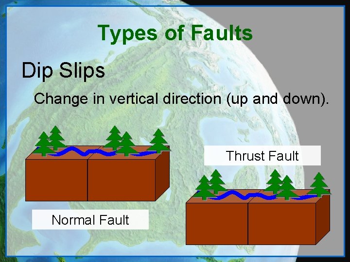
Types of Faults Dip Slips Change in vertical direction (up and down). Thrust Fault Normal Fault
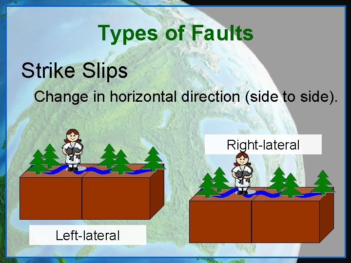
Types of Faults Strike Slips Change in horizontal direction (side to side). Right-lateral Left-lateral
What Causes Faults? Stresses and strains on the earth’s upper layers create breaks (faults) in the earth’s crust. These stresses are caused by things like: • Plate boundary movements • Thermal expansion and contraction • Gravitational forces To learn more about Plate Boundaries, click here.
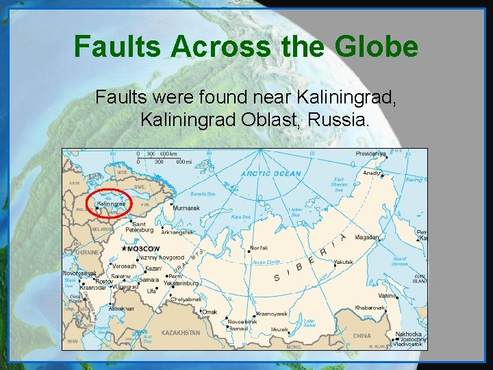
Faults Across the Globe Faults were found near Kaliningrad, Kaliningrad Oblast, Russia.
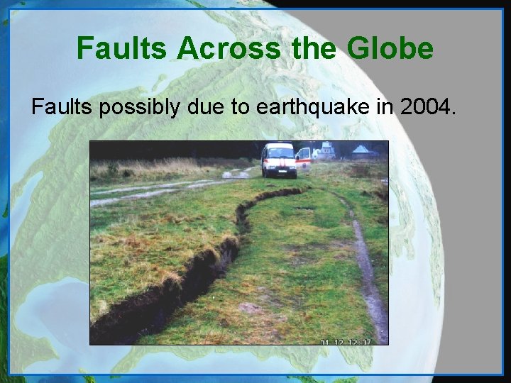
Faults Across the Globe Faults possibly due to earthquake in 2004.
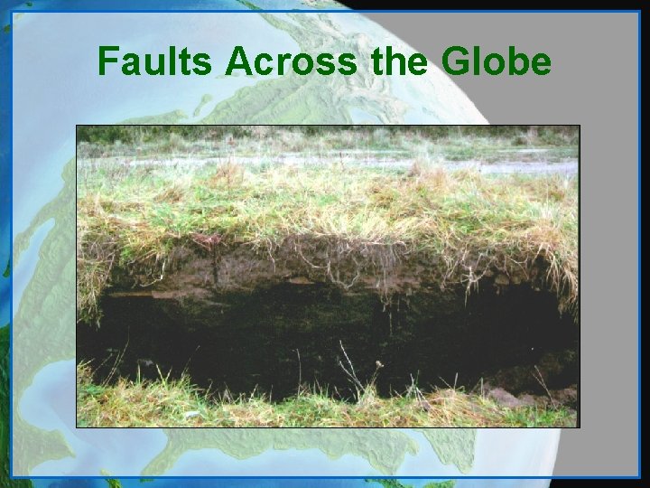
Faults Across the Globe
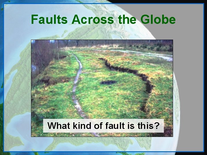
Faults Across the Globe What kind of fault is this?
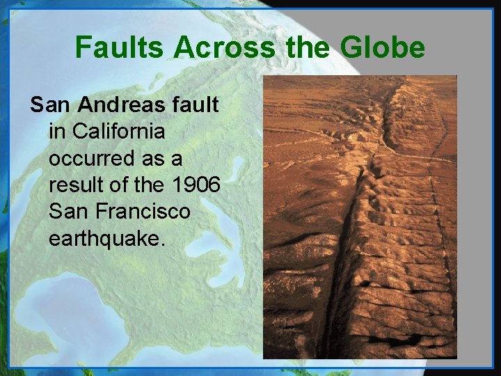
Faults Across the Globe San Andreas fault in California occurred as a result of the 1906 San Francisco earthquake.
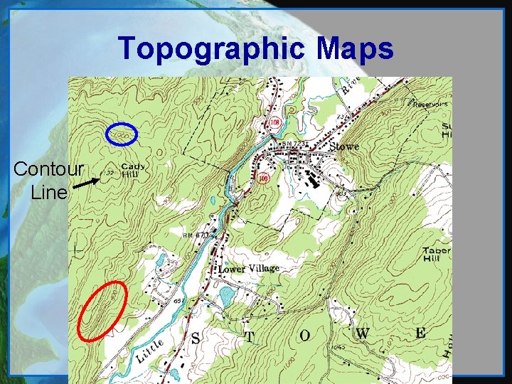
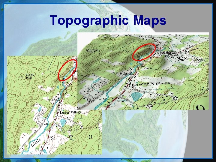
Topography • Topography is the study of the earth’s surface. • A Topographic Map is a representation of the earth’s 3 -D surface on a flat piece of paper. • Topographic Maps show important geographical features, landmarks, and land contours. • Land contours are shown by contour lines.
Topographic Map • Contour lines are curves that connect congruent points of the same altitude. • Rules of Contour Maps: – The Rule of O’s – The Spacing of Contours – The Contour Interval
Topographic Maps Contour Line
Topographic Maps
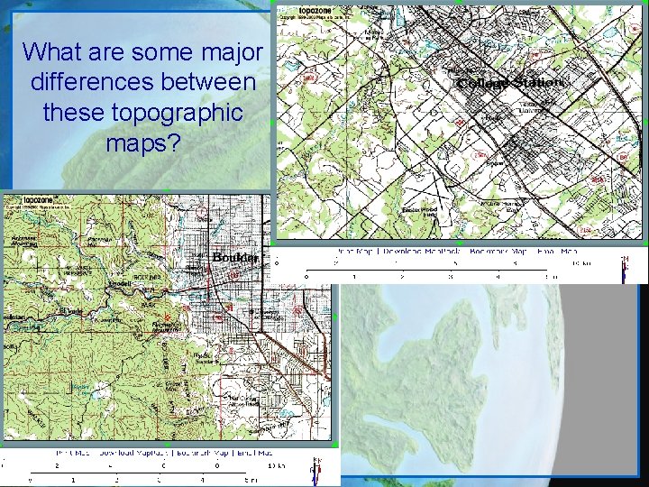
What are some major differences between these topographic maps?
How’s It Used? Can you think of some ways a topographic map might be used? Topographic Maps are used in: – Geographic Planning – Architecture – Civil Engineering – Earth Sciences – Mining – Hiking