
Examination of high pulse flows duration in Neches


- Slides: 22
Examination of high pulse flows duration in Neches Basin Presenter: Runnan Li Instructor: Dr. Maidment
Environmental flows and high pulse flow • A certain level of flow is necessary to maintain healthy stream ecology • A collection of varying flow requirements is called “environmental flows”. • High pulse flow is one category of environmental flows.
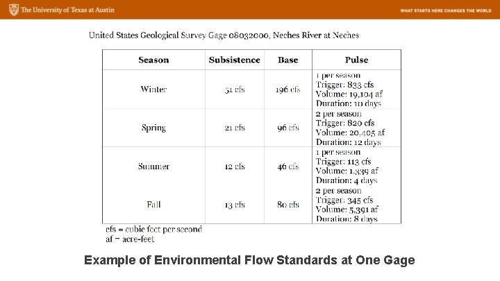
Example of Environmental Flow Standards at One Gage
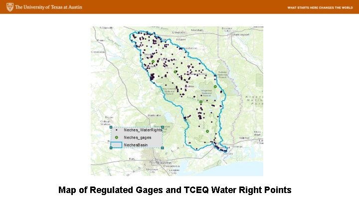
Map of Regulated Gages and TCEQ Water Right Points
Transposing pulse flow characteristics • A pulse scaling method works well within basins • The method does not succeed when points are in different basins. • Duration predictions are much more successful than the trigger flow or volume predictions
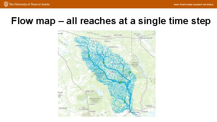
Objectives • Project the instream runoff in Neches Basin at a series of time steps in Arc. GIS (https: //www. youtube. com/watch? v=cct. C_Y 0 W 3 d 8) • Discuss the difference in the flow rate changing of main streams in different sub-basins. • Generate hydrograph for selected points • Compare the duration of certain flow rate magnitude *video accessed from http: //rapid-hub. org/animations. html
Data • NFIE real-time forecasting instream discharge of Memorial Weekends flooding (RAPID) (starting from 2015. 05. 24 13: 00, 14 one-hour time steps) • NHDPlus: flowlines, watershed delineation • TCEQ environmental flow rules reports
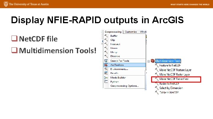
Display NFIE-RAPID outputs in Arc. GIS q Net. CDF file q Multidimension Tools!
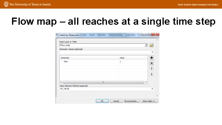
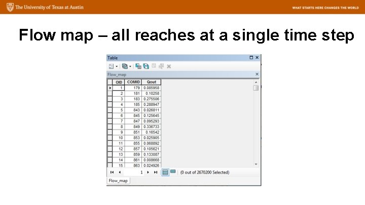
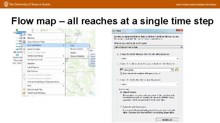
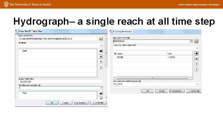
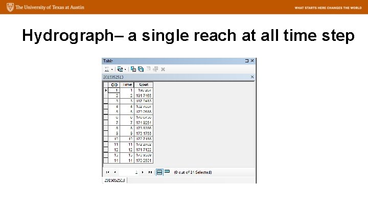
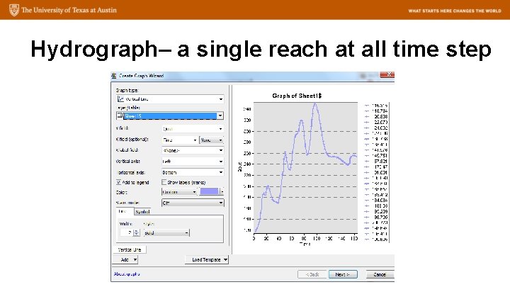
Display NFIE-RAPID outputs in Arc. GIS 1. Extract Qout of all reaches at a single time step – A flow map 2. Extract Qout of a single reach at all time step – A hydrograph
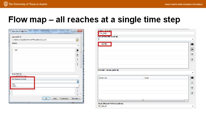
Flow map – all reaches at a single time step
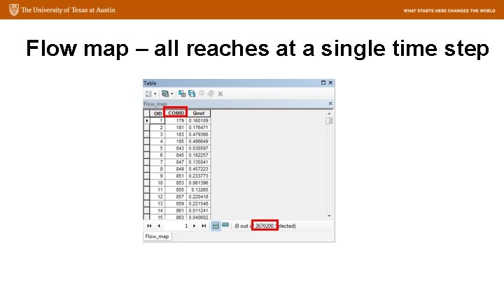
Flow map – all reaches at a single time step
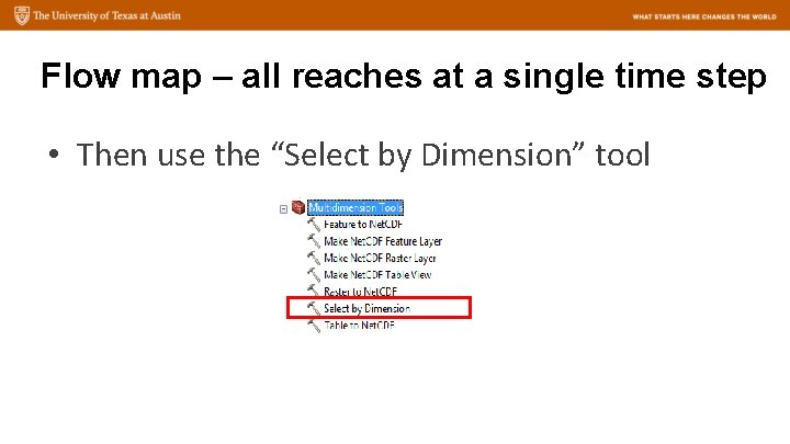
Flow map – all reaches at a single time step • Then use the “Select by Dimension” tool
Flow map – all reaches at a single time step
Flow map – all reaches at a single time step
Flow map – all reaches at a single time step
Flow map – all reaches at a single time step
Hydrograph– a single reach at all time step
Hydrograph– a single reach at all time step
Hydrograph– a single reach at all time step
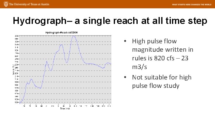
Hydrograph– a single reach at all time step • High pulse flow magnitude written in rules is 820 cfs – 23 m 3/s • Not suitable for high pulse flow study
Thank you!