Evolution of Hurricane Track and Intensity Guidance at
- Slides: 17

Evolution of Hurricane Track and Intensity Guidance at the National Hurricane Center Mark De. Maria National Hurricane Center, Miami, FL GFDL Hurricane Science Symposium May 2, 2017 1

Outline • 1954 -1975 – Barotropic and statistical track forecast model era • 1976 -1994 – Emergence of dynamical track forecast models • 1995 -present – Dynamical models for intensity and storm structure – Statistical intensity models • Future outlook 2

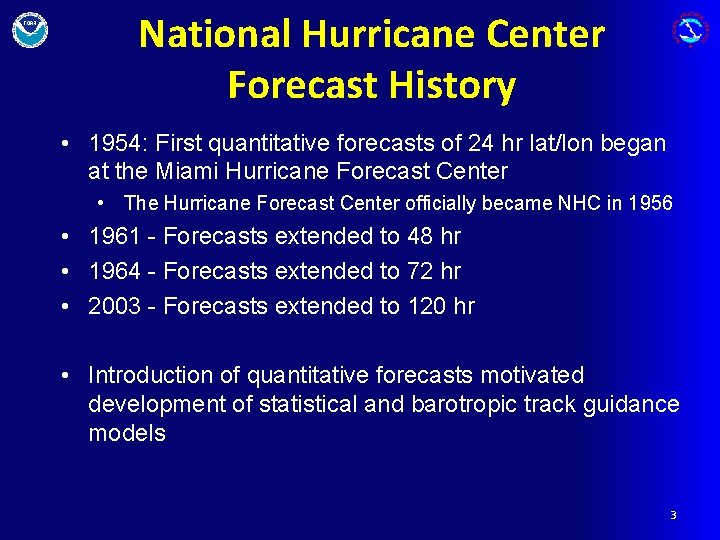
National Hurricane Center Forecast History • 1954: First quantitative forecasts of 24 hr lat/lon began at the Miami Hurricane Forecast Center • The Hurricane Forecast Center officially became NHC in 1956 • 1961 - Forecasts extended to 48 hr • 1964 - Forecasts extended to 72 hr • 2003 - Forecasts extended to 120 hr • Introduction of quantitative forecasts motivated development of statistical and barotropic track guidance models 3

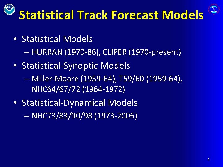
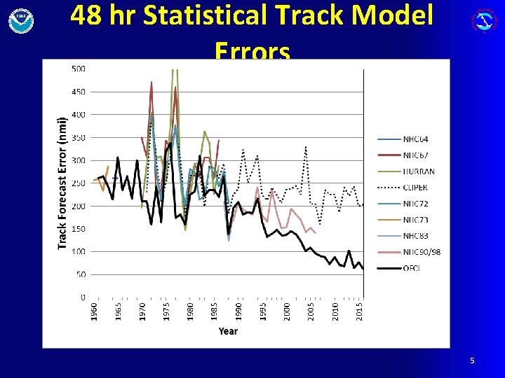
Statistical Track Forecast Models • Statistical Models – HURRAN (1970 -86), CLIPER (1970 -present) • Statistical-Synoptic Models – Miller-Moore (1959 -64), T 59/60 (1959 -64), NHC 64/67/72 (1964 -1972) • Statistical-Dynamical Models – NHC 73/83/90/98 (1973 -2006) 4

48 hr Statistical Track Model Errors 5

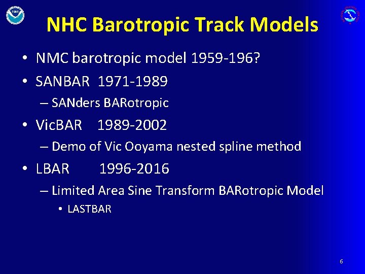
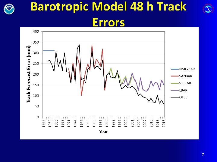
NHC Barotropic Track Models • NMC barotropic model 1959 -196? • SANBAR 1971 -1989 – SANders BARotropic • Vic. BAR 1989 -2002 – Demo of Vic Ooyama nested spline method • LBAR 1996 -2016 – Limited Area Sine Transform BARotropic Model • LASTBAR 6

Barotropic Model 48 h Track Errors 7

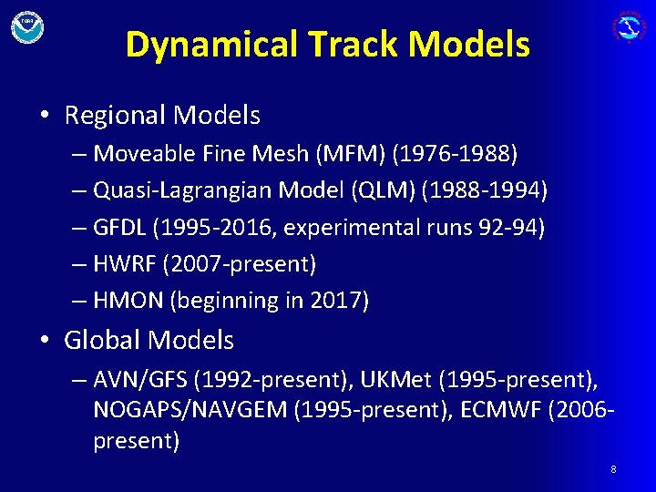
Dynamical Track Models • Regional Models – Moveable Fine Mesh (MFM) (1976 -1988) – Quasi-Lagrangian Model (QLM) (1988 -1994) – GFDL (1995 -2016, experimental runs 92 -94) – HWRF (2007 -present) – HMON (beginning in 2017) • Global Models – AVN/GFS (1992 -present), UKMet (1995 -present), NOGAPS/NAVGEM (1995 -present), ECMWF (2006 present) 8

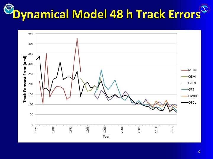
Dynamical Model 48 h Track Errors 9

GFDL Model Innovations • Provided intensity forecasts • Demonstrated utility of output besides ATCF • Special initialization around TC center and near environment • Emphasized need for improved physics • Ocean coupling • Ensemble forecasts • Paved the way for HWRF 10

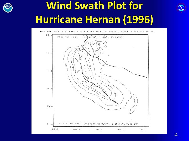
Wind Swath Plot for Hurricane Hernan (1996) 11

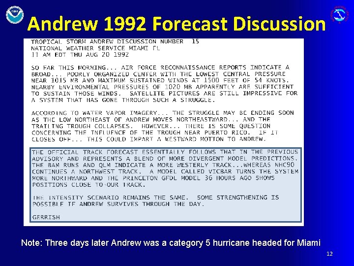
Andrew 1992 Forecast Discussion Note: Three days later Andrew was a category 5 hurricane headed for Miami 12

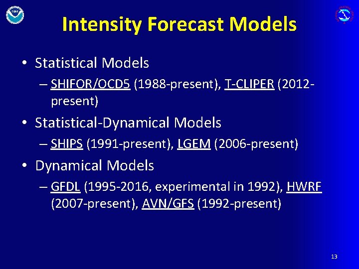
Intensity Forecast Models • Statistical Models – SHIFOR/OCD 5 (1988 -present), T-CLIPER (2012 present) • Statistical-Dynamical Models – SHIPS (1991 -present), LGEM (2006 -present) • Dynamical Models – GFDL (1995 -2016, experimental in 1992), HWRF (2007 -present), AVN/GFS (1992 -present) 13

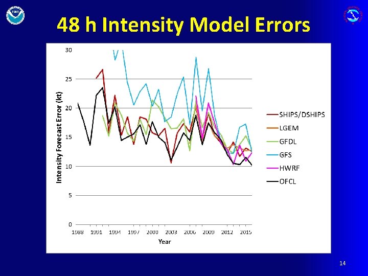
48 h Intensity Model Errors 14

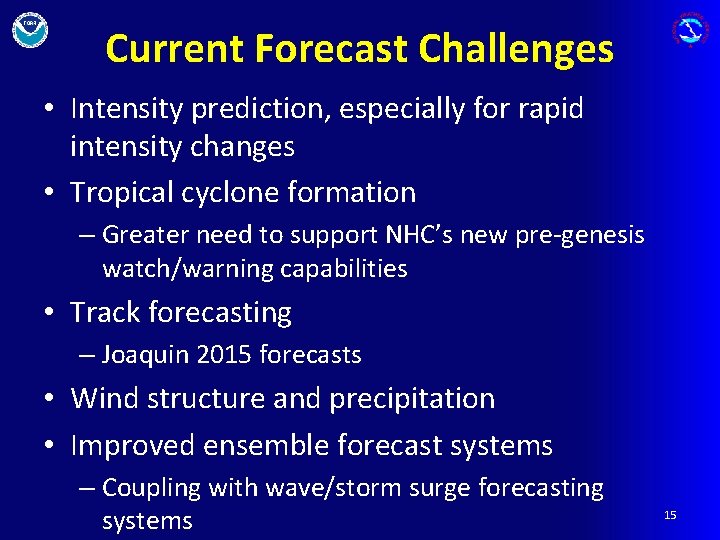
Current Forecast Challenges • Intensity prediction, especially for rapid intensity changes • Tropical cyclone formation – Greater need to support NHC’s new pre-genesis watch/warning capabilities • Track forecasting – Joaquin 2015 forecasts • Wind structure and precipitation • Improved ensemble forecast systems – Coupling with wave/storm surge forecasting systems 15

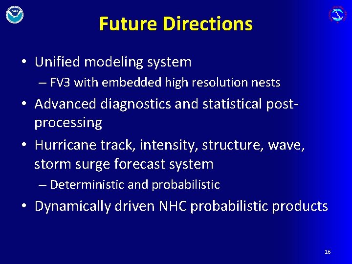
Future Directions • Unified modeling system – FV 3 with embedded high resolution nests • Advanced diagnostics and statistical postprocessing • Hurricane track, intensity, structure, wave, storm surge forecast system – Deterministic and probabilistic • Dynamically driven NHC probabilistic products 16

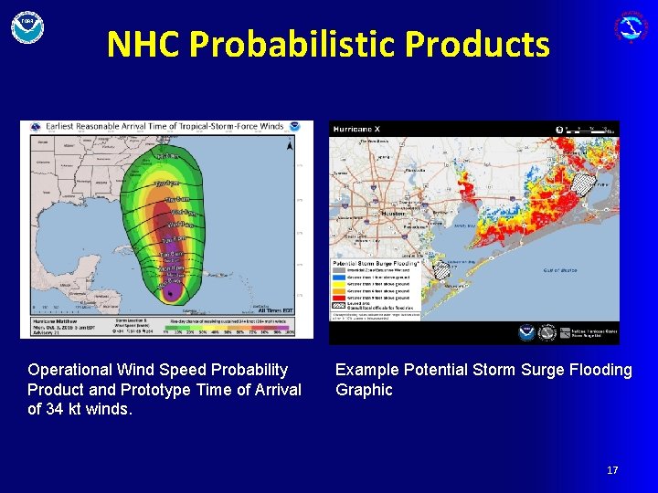
NHC Probabilistic Products Operational Wind Speed Probability Product and Prototype Time of Arrival of 34 kt winds. Example Potential Storm Surge Flooding Graphic 17