EUSea Map Development assessment of a European broadscale

EUSea. Map: Development & assessment of a European broadscale seabed habitat map Natalie Coltman, JNCC, UK Progress meeting, 24 November 2009, Brussels

Outline Work done: work packages & progress Choice of parameters Summary of data collected Accuracy & precision: how good are the maps? Difficulties encountered Needs from other EMODNET projects Online portal timetable

Work packages

Progress WP 1 – methodology WP 2 – data preparation data collected; choice of parameters WP 3 – validating thresholds choice of parameters WP 4 – modelling & confidence accuracy/precision WP 5 – disseminating data online portal timetable WP 9 – preparing interim report for February 2010

Choice of parameters To predict EUNIS habitats Work areas: Which physical input data types? Which source for each data type? Which measurements for each data type? Which thresholds to classify each data type? ? x Nm-2 y kn

Physical input data types Data type Baltic North Celtic W Med Substrate Bathymetry Light Wave energy at seabed Tidal energy at seabed Salinity at seabed Temperature at seabed Dissolved O 2 Ice cover Stratification

Which source? Comparison of wave & tidal models Light attenuation algorithms Improving coastal & closed systems NASA vs Lee 2005 (modified)

Which measurements? What? E. g. Bed shear stress or current speed When? Annual, seasonal or monthly measurements How? Average, extremes or range measurements
 thresholds? All regions Fraction of light reaching seabed Wave energy for rocky")
Which (priority) thresholds? All regions Fraction of light reaching seabed Wave energy for rocky habitats Northern regions Tidal energy for rocky habitats Salinity at the seabed

Data collected Data type Substrate Bathymetry Light Wave energy at seabed Tidal energy at seabed Salinity at seabed Temperature at seabed Dissolved O 2 Ice cover Stratification

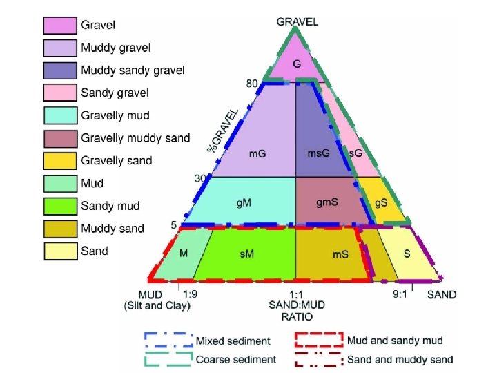
Data collected – Substrate Analysis of biological relevance of substrate classes Discussions with EMODNET Geology Data collation in W Med

EMODNET Geology Oct Dec Nov Jan Compilation of data 16/11/09 Feb Initial Data provided to EUSea. Map 31/1/2010 Harmonisation guidance released 19/11/09 Harmonisation (by partners) 14/12/09 Scale 1: 1, 000 Classification Aggregated Folk 4 + rock + boulders + till (diamicton) Datum WGS 84 Vertical Upper 30 cm Format ESRI polygon shapefiles
 & partner data: currently being harmonised Sediment data")
Substrate – W Med IBCM (above) & partner data: currently being harmonised Sediment data for other basins from EMODNET geological lot

Data collected – Depth Discussions with EMODNET hydrography North & Celtic Seas: preparation of draft layer in anticipation of EMODNET GEBCO & UK national data W Med: collation under EMODNET (IEO) Draft layer prepared Final layer by Jan 2010 Baltic: improvements to BALANCE bathymetry

EMODNET Hydrography Nov Dec Jan Feb Mar Late January - Collation of data completed Apr May DTM made available 1/5/2010 Grid size ~500 m Datum WGS 84 Format DTM Raster (available as WMS layer also)

North & Celtic Seas – Depth • Seazone 30 m grid • GEBCO 30 Arcsecond grid

Data collected – Light Baltic: ICES + additional Secchi disc measurements comparison to remote sensing data North & Celtic Seas, W Med: MERIS satellite data 1 km resolution (previous Sea. Wi. FS dataset 9 km) 250 m for parts of Med developing algorithm

Light – Baltic

Light – North, Celtic, W Med
 Celtic")
Waves – North, Celtic & Baltic & North Seas DHI model (extent only) Celtic & North Seas POL & ABPmer

Wave energy – W Med Bed shear stress related to waves in March 2008 (Nm-2)

Data collected – Tidal energy Baltic & North Seas – DHI model Celtic & North Seas – POL models CS 20 CS 3 X NEA Increasingly coarse models W Med North of 39°N– 1 km Ifremer model South of 39°N– 6 km MFS model

Data collected – Salinity & Temp Baltic & North Seas – DHI model 3 D hydrodymamic model includes stratification output Celtic & North Seas – MET office still need to obtain seabed salinity W Med – MET office no salinity data required

How good are the maps? Confidence in physical input data Qualitative, based on metadata

Data behind GEBCO bathymetry Red = actual depth soundings Grey = satellite data

How good are the maps? Confidence in physical input data Qualitative, based on metadata Quantitative, based on in situ physical data

Probability of wave disturbance

How good are the maps? Confidence in physical input data Qualitative, based on metadata Quantitative, based on in situ physical data Confidence in thresholds Fuzzy boundaries between habitats confidence maps

Difficulties encountered Energy measurements & thresholds W Med substrate data EMODNET bathymetry available April 2010 Quantitative confidence assessments Common ‘temporary’ coastline
 Gridded bathymetry from")
Needs from other projects Substrate data shapefile from Geology (Jan 2010) Gridded bathymetry from Hydrography (Apr 2010) Accompanying metadata for qualitative spatial assessment of confidence Exchange of ideas about online portals common metadata catalogue registration base mapping
: draft data Build v 2: final input")
Scoping Build prototype Build v 1 (live): draft data Build v 2: final input data Final version: final habitat maps Maintenance … … Mar-12 Mar-11 Dec-10 Sep-10 Jun-10 Mar-10 Dec-09 Sep-09 Jun-09 Online portal timetable

Discussion points Metadata for qualitative spatial assessment of confidence Geology Hydrography Online portal – common solutions? metadata catalogue registration base mapping

Further information JNCC website www. jncc. gov. uk/EUSea. Map +44 1733 866914 natalie. coltman@jncc. gov. uk
- Slides: 34