
Estimating Reservoir Potential of Wadis by Waveform Inversion
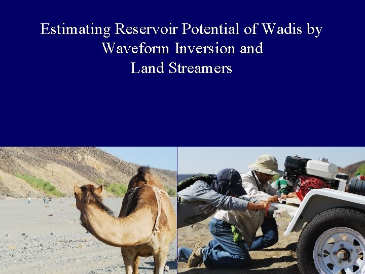
Estimating Reservoir Potential of Wadis by Waveform Inversion and Land Streamers
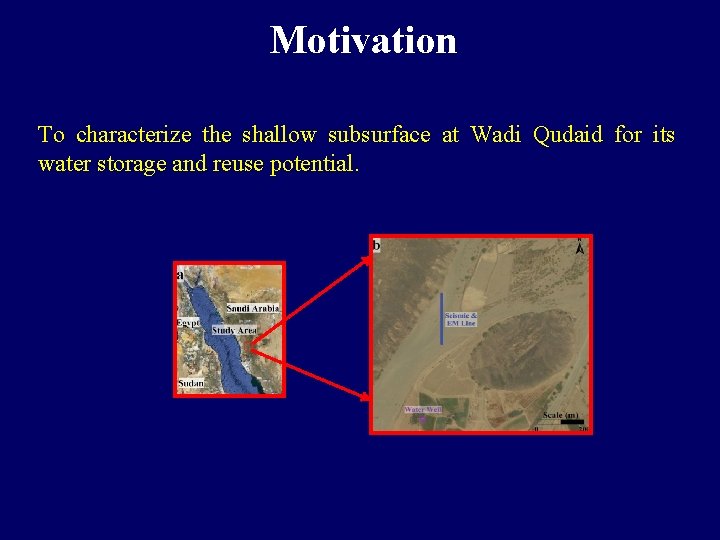
Motivation To characterize the shallow subsurface at Wadi Qudaid for its water storage and reuse potential.
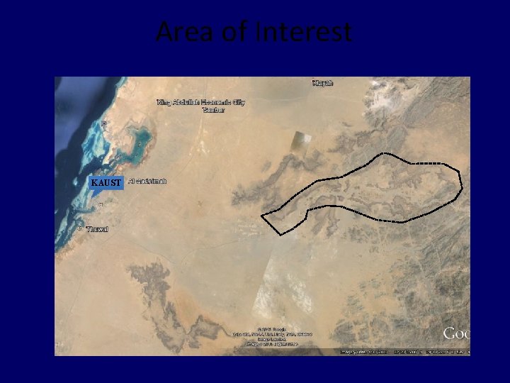
Area of Interest KAUST
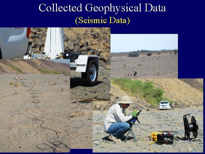
Collected Geophysical Data (Seismic Data)
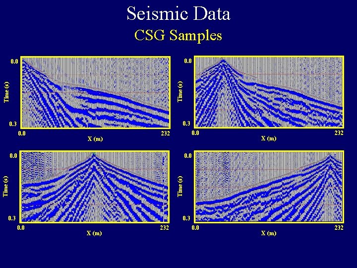
Seismic Data CSG Samples 0. 0 Time (s) 0. 0 0. 3 0. 0 X (m) 0. 0 232 0. 0 Time (s) 0. 0 X (m) 0. 3 0. 0 X (m) 232
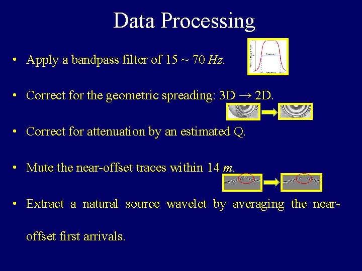
Data Processing • Apply a bandpass filter of 15 ~ 70 Hz. • Correct for the geometric spreading: 3 D → 2 D. • Correct for attenuation by an estimated Q. • Mute the near-offset traces within 14 m. • Extract a natural source wavelet by averaging the nearoffset first arrivals.
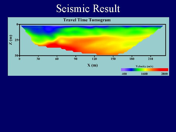
Seismic Result
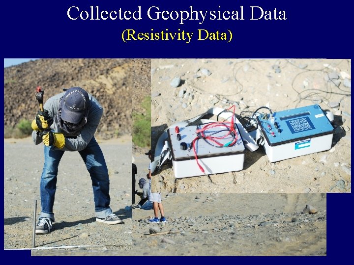
Collected Geophysical Data (Resistivity Data)
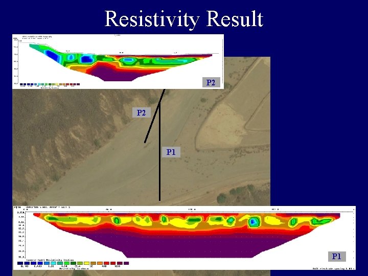
Resistivity Result P 2 P 1
Land Streamer Test # 1 Saudi Arabia
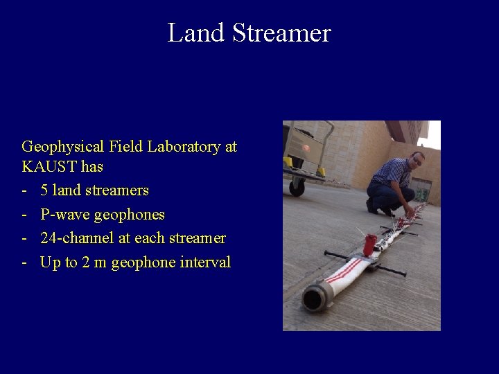
Land Streamer Geophysical Field Laboratory at KAUST has - 5 land streamers - P-wave geophones - 24 -channel at each streamer - Up to 2 m geophone interval
Test # 1 - Data are collected at Saudi Arabia - Two parallel lines are collected - The first is a conventional seismic profile, where geophones are planted in the ground - The second is a land streamer survey

Land Streamer Conventional Seismic 1. 5 m Shot Location
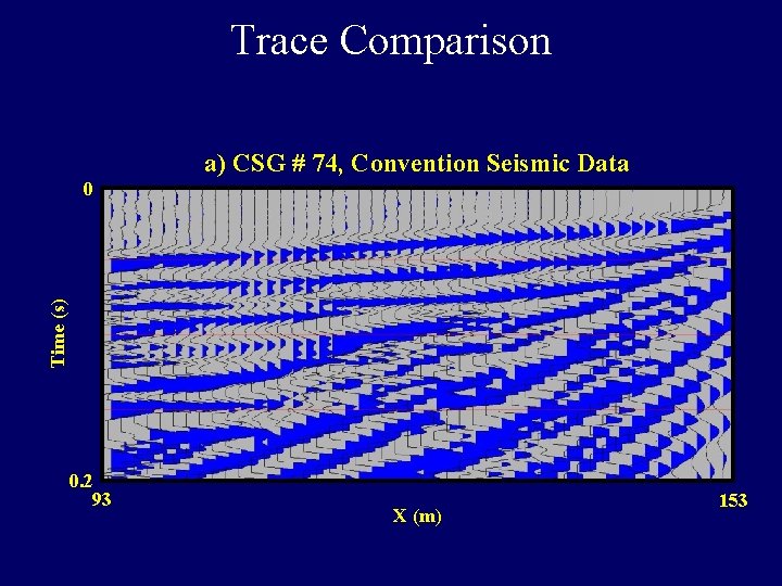
Trace Comparison a) CSG # 74, Convention Seismic Data Time (s) 0 0. 2 93 X (m) 153

Trace Comparison b) CSG # 74, Land Streamer Seismic Data Time (s) 0 0. 2 93 X (m) 153
Land Streamer Test # 2 Robotec Survey Utah, USA
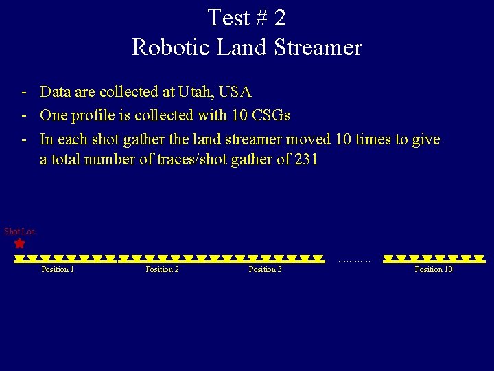
Test # 2 Robotic Land Streamer - Data are collected at Utah, USA - One profile is collected with 10 CSGs - In each shot gather the land streamer moved 10 times to give a total number of traces/shot gather of 231 Shot Loc. ………… Position 1 Position 2 Position 3 Position 10
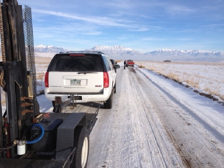

Test # 2 CSG Sample 0. 0 550 0. 0 17. 56 X (m) Sample interval = 2 ms
- Slides: 19