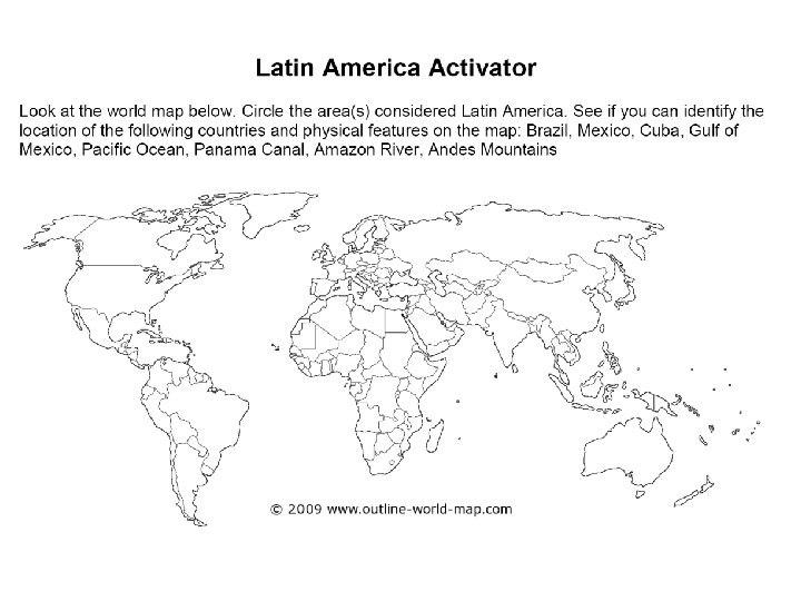
Essential Question Where are the major physical features


- Slides: 31
Essential Question: Where are the major physical features and nations of Latin America located?
Standards: SS 6 G 1 a. Locate on a world and regional political-physical map: Amazon River, Caribbean Sea, Gulf of Mexico, Pacific Ocean, Panama Canal, Andes Mountains, Sierra Madre Mountains, and Atacama Desert. SS 6 G 1 b. Locate on a world and regional political-physical map the countries of Bolivia, Brazil, Colombia, Cuba, Haiti, Mexico, Panama, and Venezuela
Latin America
Use the Latin America Physical Features Map
Sierra Madre Mountains 1.
Sierra Madre Mountains: Main mountain range in Mexico with three major chains
Gulf of Mexico 2.
Gulf of Mexico: Arm of Atlantic Ocean; Mississippi River and Rio Grande are two major rivers that flow into the Gulf of Mexico
Caribbean Sea 3.
Caribbean Sea: Arm of the Atlantic Ocean; popular tourist attraction due to beautiful beaches and mild tropical climate
Panama Canal 4.
Panama Canal: Canal built to allow ships to travel easily between the Atlantic and Pacific Oceans.
Pacific Ocean 5.
Pacific Ocean: Largest and deepest ocean; larger than the total land area of the world
Andes Mountains 6.
Andes Mountains: Chain along the western edge of South America that is the longest continuous mountain range in the world
Atacama Desert 7.
Atacama Desert: Driest place on earth; high elevation along coast of Chile; average temperature is actually chilly; parts have never had rain
Amazon River 8.
Amazon River: Second longest river in the world; flows mostly through Brazil; carries the greatest volume of water of any river
Amazon River
9. Mexico
Cuba 10.
Haiti 11.
Venezuela 12.
Colombia 13.
Panama 14.
Bolivia 15.
Brazil 16.
Create a Mnemonic Device to help remember the countries of Latin America