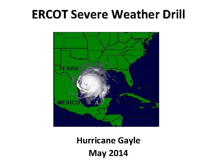
ERCOT Severe Weather Drill Hurricane Gayle May 2014
- Slides: 8

ERCOT Severe Weather Drill Hurricane Gayle May 2014

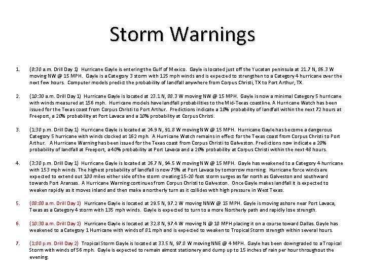
Storm Warnings 1. (8: 30 a. m. Drill Day 1) Hurricane Gayle is entering the Gulf of Mexico. Gayle is located just off the Yucatan peninsula at 21. 7 N, 86. 3 W moving NW @ 15 MPH. Gayle is a Category 3 storm with 125 mph winds and is expected to strengthen to a Category 4 hurricane over the next few hours. Computer models predict the probability of landfall anywhere from Corpus Christi, TX to Port Arthur, TX. 2. (10: 30 a. m. Drill Day 1) Hurricane Gayle is located at 23. 1 N, 88. 3 W moving NW @ 15 MPH. Gayle is now a minimal Category 5 hurricane with winds measured at 156 mph. Hurricane models have landfall probabilities to the Mid-Texas coastline. A Hurricane Watch has been issued for the Texas coast from Corpus Christi to Port Arthur. Predictions indicate a 10% probability of landfall within the next 72 hours at Freeport, a 20% probability at Port Lavaca and a 10% probability at Corpus Christi. 3. (1: 30 p. m. Drill Day 1) Hurricane Gayle is located at 24. 9 N, 91. 8 W moving NW @ 15 MPH. Hurricane Gayle has become a dangerous Category 5 hurricane with winds clocked at 162 mph. A Hurricane Watch remains in effect for the Texas coast from Corpus Christi to Port Arthur. A Hurricane Warning has been issued for the Texas coast from Corpus Christi to Galveston. Predictions now indicate a 20% probability of landfall at Freeport, a 40% probability at Port Lavaca and a 20% probability at Corpus Christi within the next 48 hours. 4. (3: 30 p. m. Drill Day 1) Hurricane Gayle is located at 26. 7 N, 94. 5 W moving NW @ 15 MPH. Gayle has weakened to a Category 4 hurricane with 153 mph winds. The highest probability of landfall is now 75% at Port Lavaca by tomorrow morning. Hurricane force winds are expected to extend out 100 miles either side of the storm creating 15 -20 foot storm surges as far north as Galveston and southward towards Port Aransas. A Hurricane Warning continues from Corpus Christi to Galveston. Once Gayle makes landfall it is expected to weaken rapidly as it moves inland then make a northerly turn as it collides with high pressure in West Texas. 5. (08: 00 a. m. Drill Day 2) Hurricane Gayle is located at 29. 5 N, 97. 2 W moving NNW @ 15 MPH. Gayle is moving ashore near Port Lavaca, Texas as a Category 4 storm with 135 mph winds. Gayle is expected to turn to a more Northerly path and rapidly lose strength. 6. (10: 30 a. m. Drill Day 2) Hurricane Gayle is located at 32. 8 N, 97. 4 W moving N @ 10 MPH placing it on a course toward Dallas. Gayle has weakened to a Category 1 Hurricane with winds of 81 mph and is expected to weaken to Tropical Storm strength within several hours. 7. (1: 00 p. m. Drill Day 2) Tropical Storm Gayle is located at 33. 5 N, 97. 0 W moving NNE @ 4 MPH. Gayle has been downgraded to a Tropical Storm with winds of 56 mph. Gayle is expected to remain almost stationery and dump up to 15 inches of rain per hour throughout the evening.

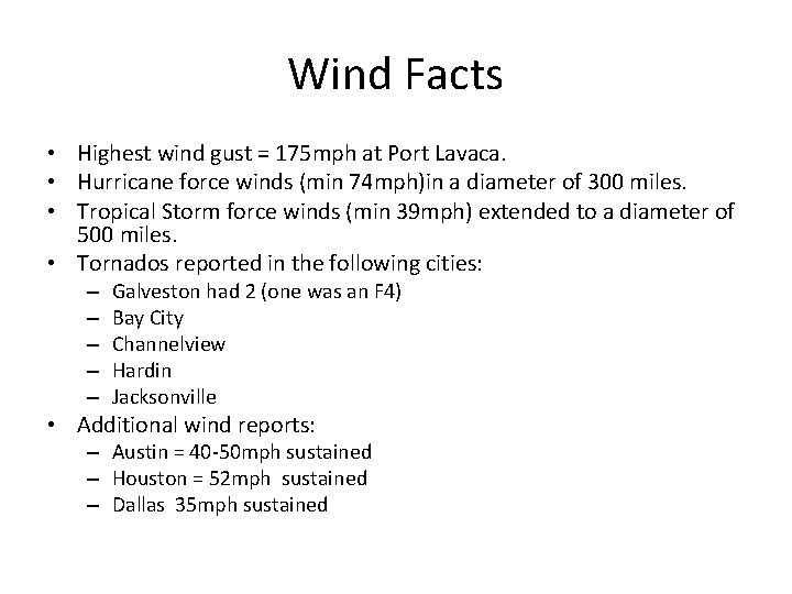
Wind Facts • Highest wind gust = 175 mph at Port Lavaca. • Hurricane force winds (min 74 mph)in a diameter of 300 miles. • Tropical Storm force winds (min 39 mph) extended to a diameter of 500 miles. • Tornados reported in the following cities: – – – Galveston had 2 (one was an F 4) Bay City Channelview Hardin Jacksonville • Additional wind reports: – Austin = 40 -50 mph sustained – Houston = 52 mph sustained – Dallas 35 mph sustained

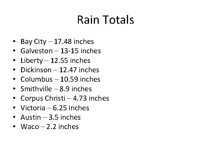
Rain Totals • • • Bay City – 17. 48 inches Galveston – 13 -15 inches Liberty – 12. 55 inches Dickinson – 12. 47 inches Columbus – 10. 59 inches Smithville – 8. 9 inches Corpus Christi – 4. 73 inches Victoria – 6. 25 inches Austin – 3. 5 inches Waco – 2. 2 inches

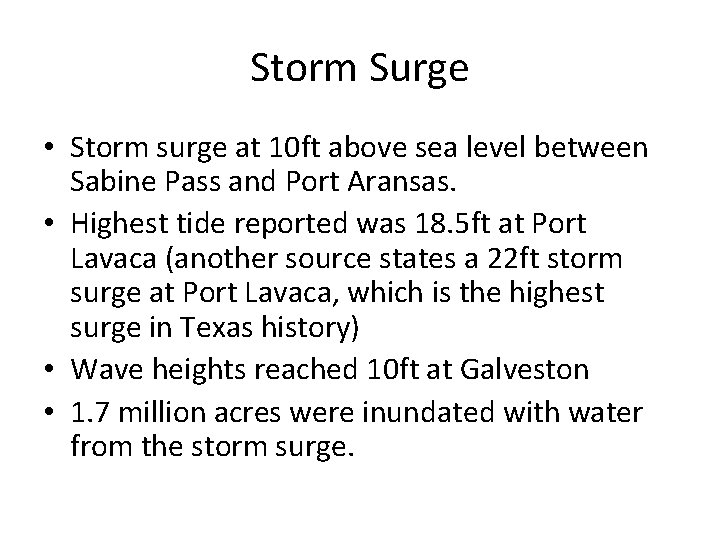
Storm Surge • Storm surge at 10 ft above sea level between Sabine Pass and Port Aransas. • Highest tide reported was 18. 5 ft at Port Lavaca (another source states a 22 ft storm surge at Port Lavaca, which is the highest surge in Texas history) • Wave heights reached 10 ft at Galveston • 1. 7 million acres were inundated with water from the storm surge.

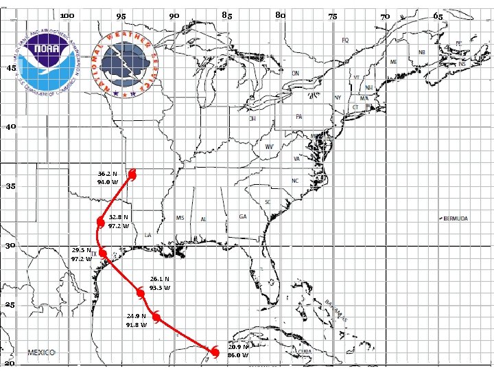
100 95 90 85 45 40 36. 2 N 94. 0 W 35 32. 8 N 97. 2 W 30 29. 5 N 97. 2 W 26. 1 N 93. 3 W 25 24. 9 N 91. 8 W 20 20. 9 N 86. 0 W 80 75 70 65

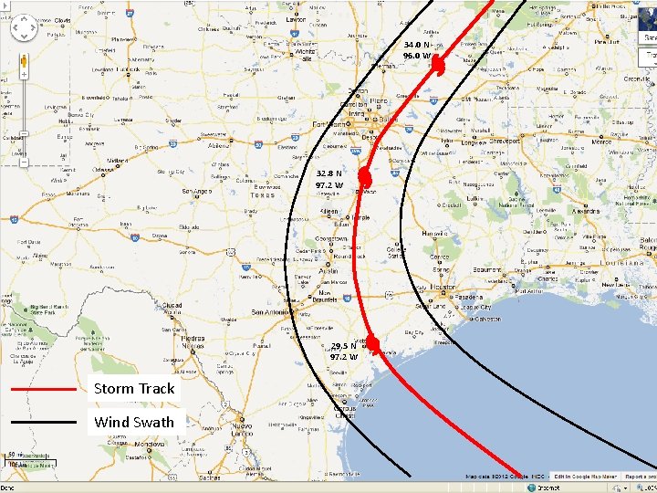
34. 0 N 96. 0 W 32. 8 N 97. 2 W 29. 5 N 97. 2 W Storm Track Wind Swath

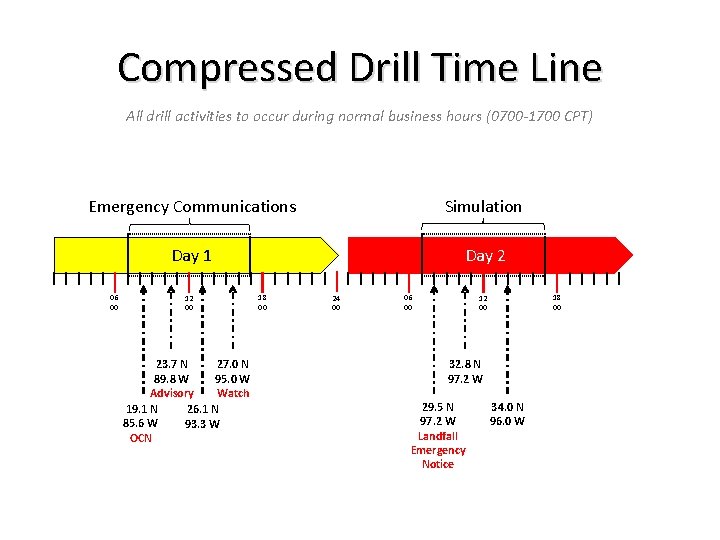
Compressed Drill Time Line All drill activities to occur during normal business hours (0700 -1700 CPT) Emergency Communications Simulation Day 1 Day 2 06 00 12 00 23. 7 N 27. 0 N 89. 8 W 95. 0 W Advisory Watch 19. 1 N 26. 1 N 85. 6 W 93. 3 W OCN 18 00 24 00 06 00 18 00 12 00 32. 8 N 97. 2 W 29. 5 N 97. 2 W Landfall Emergency Notice 34. 0 N 96. 0 W