Engineering Surveying Introduction to Survey Engineering By Mohd

Engineering Surveying Introduction to Survey Engineering By Mohd Arif Sulaiman Faculty of Civil Engineering & Earth Resources mdarif@ump. edu Introduction To Survey Engineering, by Mohd

Chapter Description Expected Outcomes • Able to explain the definition & principle of surveying • Able to demonstrate and understand the units measurement • Able to read and understand the information shown on site plans. References � Barry F. Kavanagh, "Surveying with Construction Application", 0 -13 -048215 -3 Pearson, Prentice Halll, 2004. � Bannister, Raymond, Baker, "Surveying", 0 -582 -30249 -8, Prentice Hall 1998. � William Irvine, "Surveying for Construction", 4 th Ed. , 007 -707998 -1, Mc. Graw-Hill, 1998.

Definition & principle of surveying What is surveying? ? Is a science and art of measuring, recording and drawing to scale, the location, the size and shape of natural and man-made features on a surface of the earth.

Survey are usually performed for reasons: To collect data, which can then be drawn to scale on a plan or map. ii. To lay out dimensions shown on a design plan in order to precisely define the field location for the proposed constructions facility. i.

Plane Survey vs Geodatic Survey Collimation plane Earth surface Curvature of earth �Survey that ignore the curvature of earth are called as plane survey �Large areas of the earth’s involved and the curvature of the earth must be taken into account.

Chain survey Based on instrument used Traverse survey triangulation Classificatio n of survey Plane tabling Tacheometr y Levelling

Engineering survey Based on purpose of survey Control survey Mine survey Defence survey Branch es of survey Route survey Geological survey Geographic al survey Archaelogic al survey

Based on placed of survey Land survey Aerial survey Classificatio n of survey Underground survey Hydrographic survey

Basic principles �Measure distance at right angles �Measure distance and angle �Measure angles The fundamental rule in surveying project is WORK FROM THE WHOLE TO THE PART.

Sources of errors Personal errors Instrumental errors Natural errors
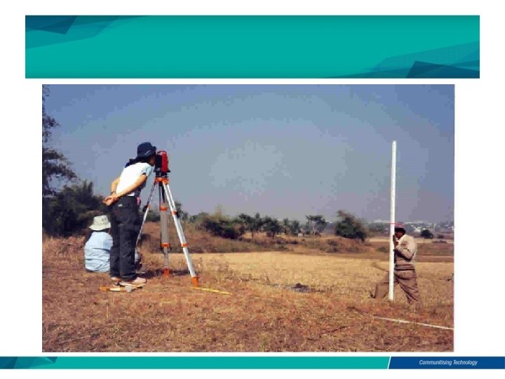

Identify sources of error in previous picture. -An observer takes a reading without doing temporary adjustment to the instrument used - Uncalibrated equipment used to collect data - Exposure of equipment to direct sun light in extreme climate for a long period.

Systematic error • Error which occur from well understood causes and can be reduced by adopting suitable method. Random error • Error due to combination of causes and beyond the control of surveyor.

Understanding map and plan MAP PLAN Are representation on paper of physical features on the ground

Plan • Will accurately define widths of roads, size of building, etc. every features are exactly true to scale Map • Is a representation, no matter how accurately it may be shown

symbol Surface relief Undulation in the ground surface are shown on a plan by contour lines and sport heights. Commo n features Grid line Plan views of the actual objects being portrayed. scale Ratio between the drawing of the object and the actual object itself. -Expressed in word -By a drawn scale -By a representative fraction. North point indicating the direction of north chosen for that particular plan

Symbol

Scale

Grid Line

Surface Relief

Unit and Measurement QUANTITY UNIT SYMBOL Length Metre m Area Square metre m 2 Volume Cubic metre m 3 Mass Kilogramme kg Capacity Litre l

Author Information Dr Idris bin Ali Dr Cheng Hock Tian
- Slides: 22