Elements of Mapping SYMBOLS Class Question Why do

Elements of Mapping SYMBOLS

Class Question Why do we need symbols on maps?

Map Symbols Map symbols are important because they: • Take up less space than written labels, so maps are clearer • Are language-neutral so everyone can understand them • Indicate an absolute location so we can calculate distance • Also give us points of interest to calculate relative location Without symbols, maps would be difficult to read and would only contain a fraction of the information!

Who decides what symbols are used? • There are two main global organizations that decide what map symbols are “official”: • The USGS (United States Geological Survey) • The Ordnance Survey (This one is British)

Colours are symbols, too The USGS and the Ordnance Survey have set official colours for certain things: • Bodies of water (lakes, rivers, oceans) are always blue • Land features (mountains, plains, meadows) are always green • Historic cultural features (castles, churches) are usually brown • Modern cultural features (schools, shopping malls) are usually black • Roads are usually red and highways are usually yellow • Labels are always in black (and always horizontal!)

Elements of Mapping: Symbol and Colour Rules • You must include all of your symbols and colours in your legend (otherwise the map reader won’t know what your map means!) • If you colour a patch of something (for example, an ocean or lake), you can just put a blue box in your legend and label it “water”) • If you pinpoint something specific (for example a road or a church), the symbol in your legend must be an exact copy of the symbol used on the map (shapes and colours)

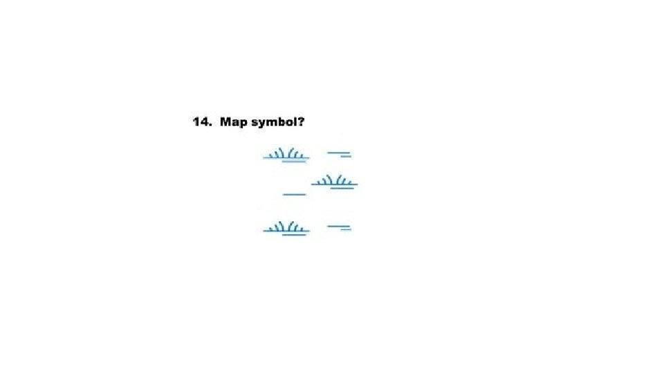
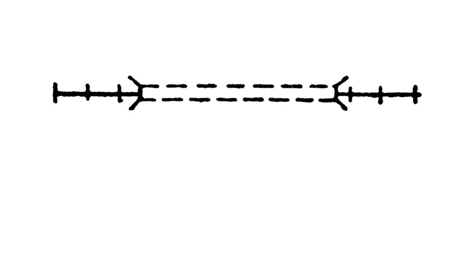
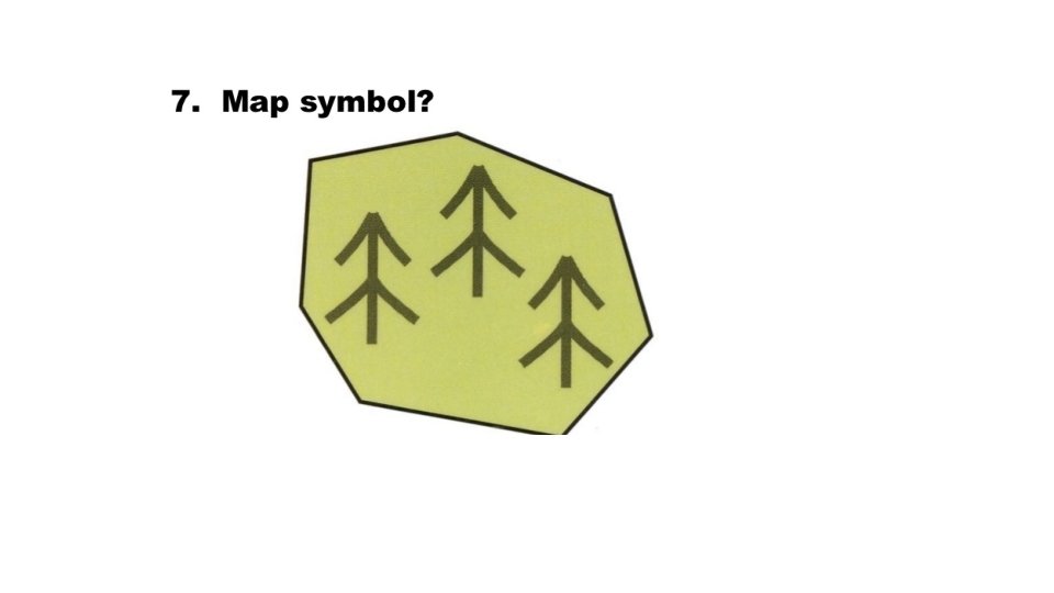
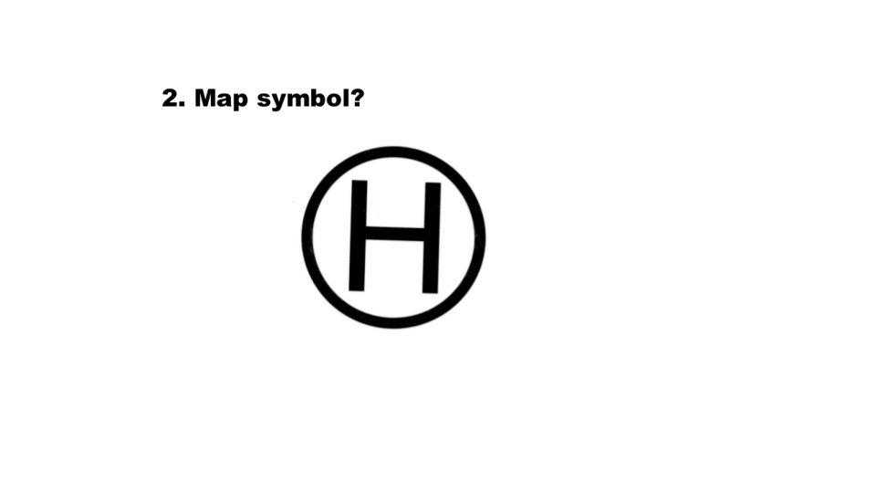
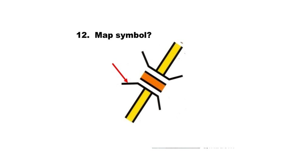
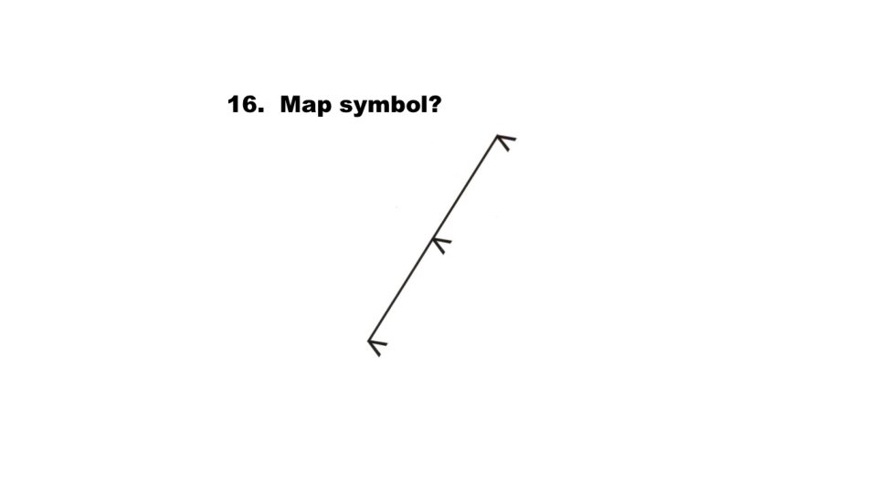
Let’s play a game! Please label your paper from 1 -14, like this: 1. 2. 3. 4. etc. What do you think each of these symbols represents? Write down your ideas for each one! Here we go….


- Slides: 22